Curated by PaddleWays
RouteFlatwater
- Distance
- 1.4 mi
- Paddle time
- ~0.5 hrs
- Best for
- Kayak
- Put-in → take-out
- Hickory Valley Park Access → Glenbrook Road Access
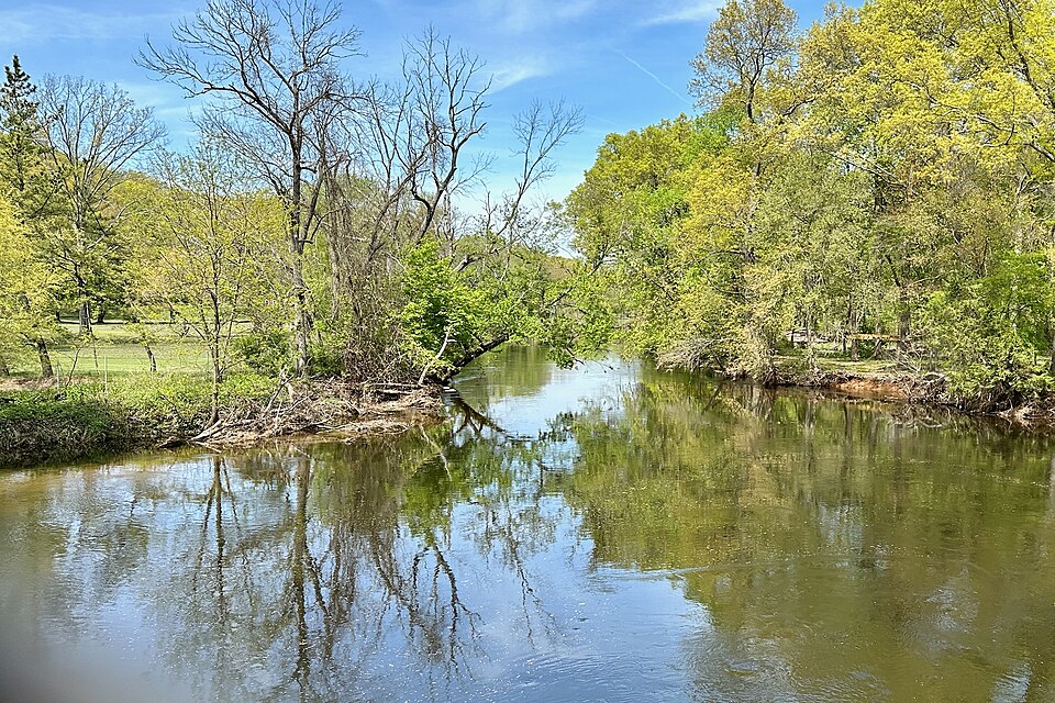
Downed trees and low water depths
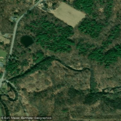
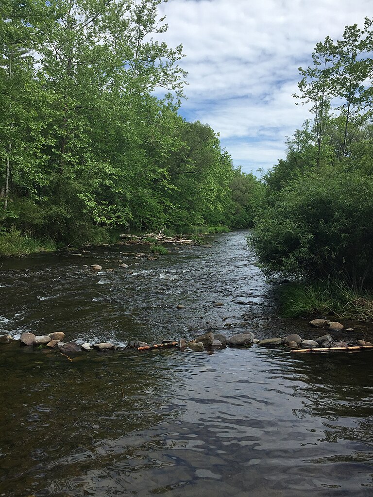
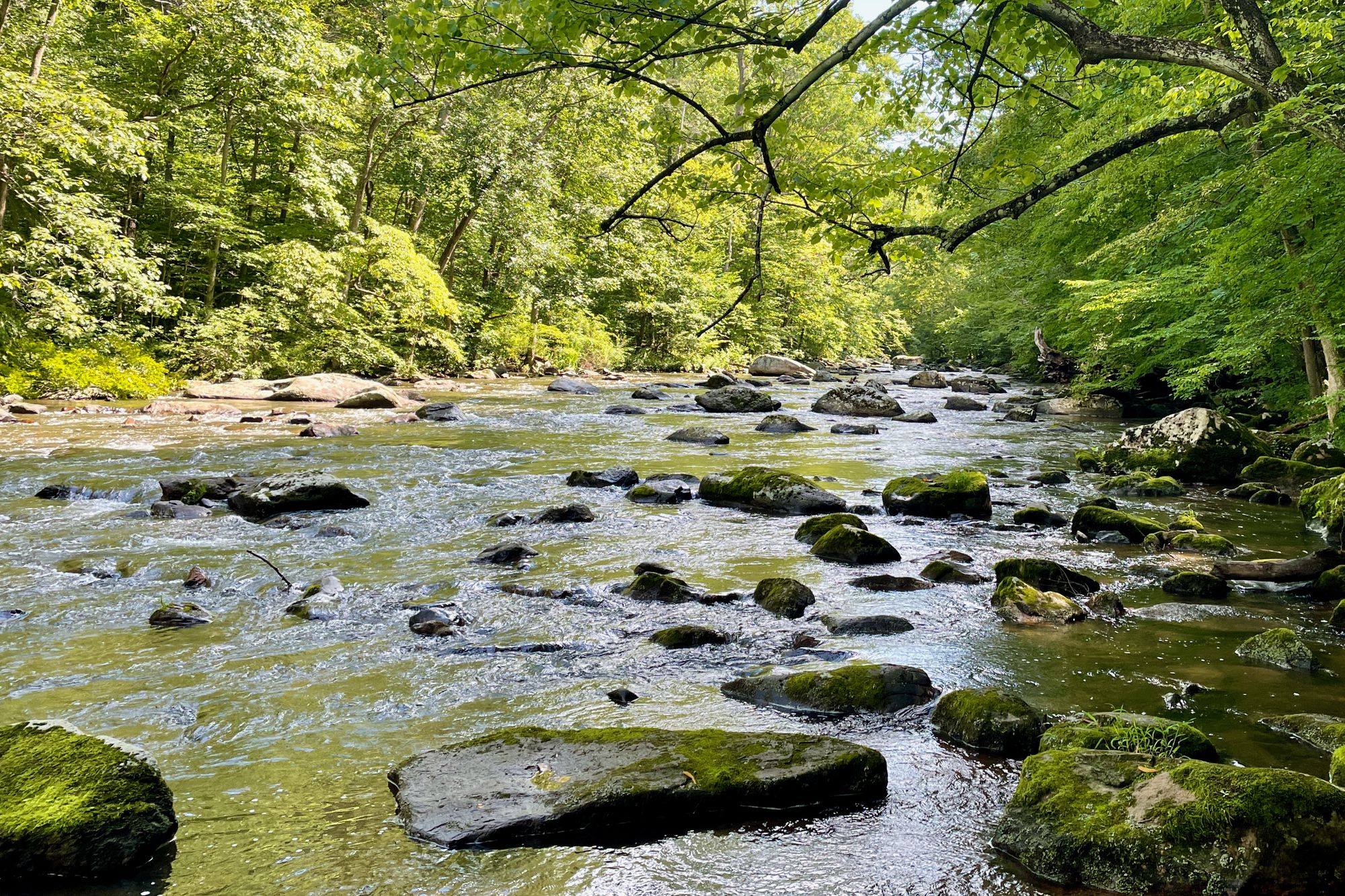
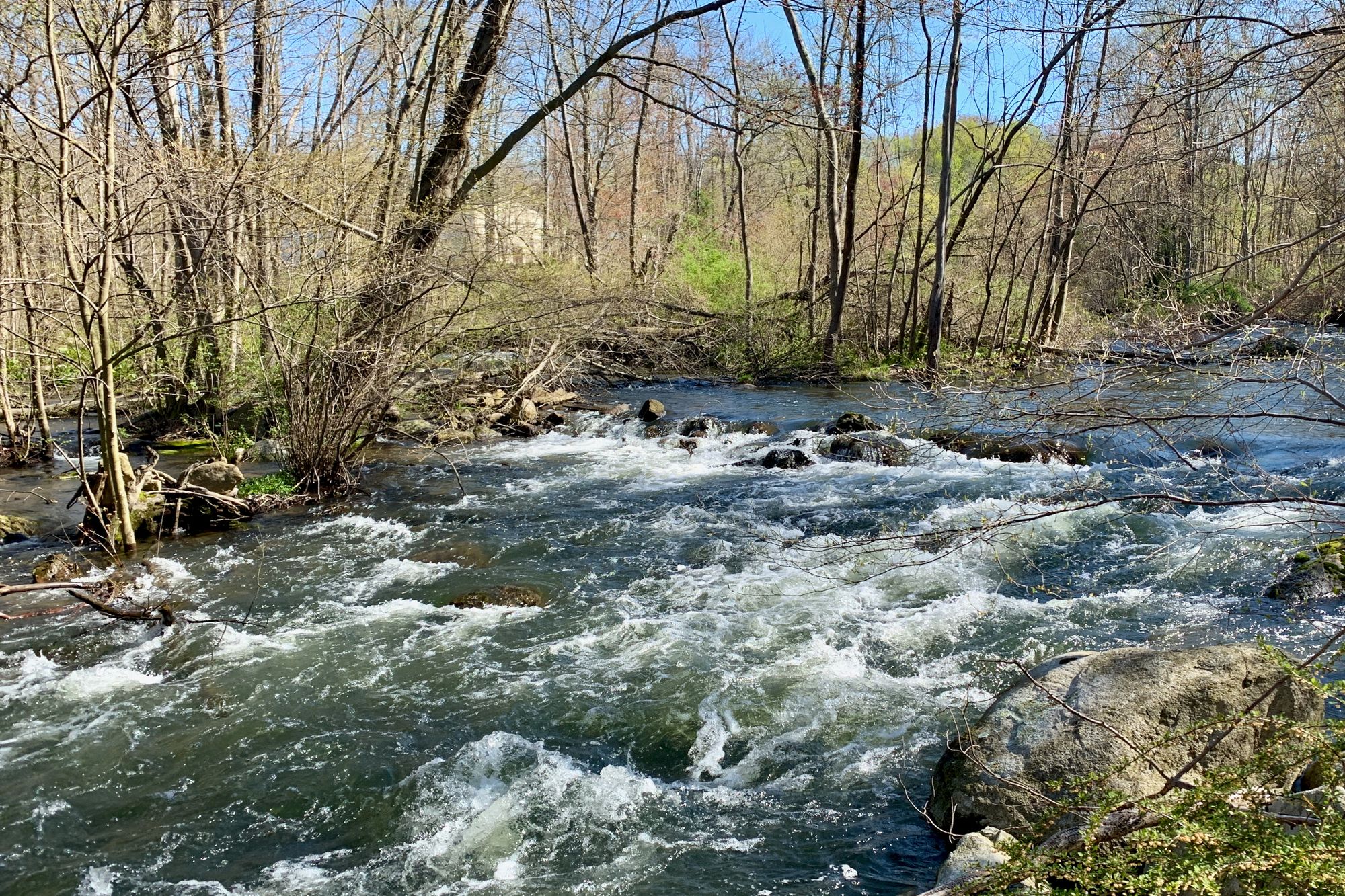
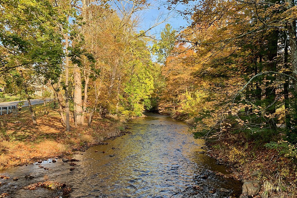
McMichael Creek flows through south-central Monroe County, Pennsylvania, draining approximately 113 square miles before joining Pocono Creek near Stroudsburg. This 21.7-mile tributary originates on the Pocono Plateau and descends through varied terrain, from steep headwaters with widening valleys to gently sloping middle reaches characterized by knobby hills and broad valleys, before entering the lower watershed with its alternating steep to moderate slopes and narrow to wide valley configurations.
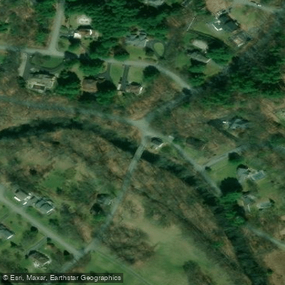
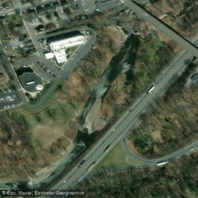
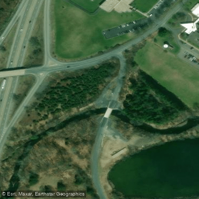
The creek's paddling opportunities center on two established sections. The Lower McMichael Creek route runs from Hickory Valley Park in Stroud Township to Kovarick Park, offering recreational kayaking suitable for beginners and families. An intermediate access point at Glenbrook Golf Course allows paddlers to customize trip length. A second documented section also begins at Hickory Valley Park and extends downstream to Glenbrook Golf Course or continues to Kovarick Park. These routes traverse the Keystone Select water designation, which was added to the program in 2018 and features enhanced trout stocking.
The creek's character reflects its geological foundation, with formations including limestone deposits in the southernmost portions. Hydrologic soil groups throughout the watershed influence infiltration rates and runoff patterns, creating dynamic flow conditions. The waterway supports populations of brook, rainbow, and brown trout, with the brown trout proving particularly resilient after being introduced in the 1880s to adapt to warming stream temperatures caused by early logging impacts.
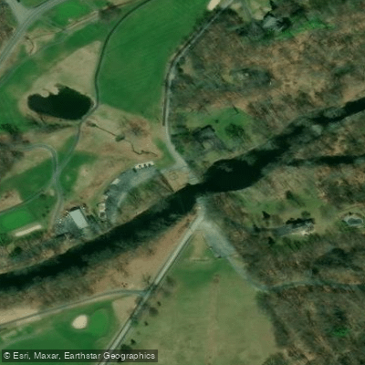
Paddlers encounter the creek flowing through Glenbrook Golf Course, where the channel literally bisects the 12th or 13th fairway, requiring awareness of golf activity. The Pocono Creek confluence occurs within the broader McMichael system before joining Brodhead Creek, creating an interconnected watershed network. Major tributaries feeding McMichael Creek include Appenzell Creek, Bowers Creek, Fall Creek, Hypsy Creek, Kettle Creek, Lake Creek, Little Pocono Creek, Sand Spring Run, and Spring Run.
Historical significance permeates the watershed. The Pohoqualine Fish Association, chartered in 1894, represents one of the earliest organized fishing clubs in the drainage. The creek powered numerous mills during the 19th century, including operations in Sciota where General Sullivan's troops made their first Monroe County stop during the 1779 march to Wyoming Valley. Stone arch bridges on Route 715, including a WPA-era structure over Fall Creek, demonstrate the area's infrastructure heritage.
Access points concentrate in Stroud Township, with Hickory Valley Park serving as the primary put-in location. The creek flows through a watershed experiencing significant development pressure, with stormwater management plans implemented to protect water quality and maintain the natural hydrologic regime essential for sustaining aquatic ecosystems and the creek's renowned trout fishery.
Curated routes
Hand-picked by the PaddleWays team, with put-ins, take-outs, paddle times and the hazards along the way.
RouteFlatwater
Hazards
No paddler has reported a hazard here yet, so these are the dams, falls and big rapids on our map. Hazards change with flows and storms, so check them before you launch.
From the community
Nobody has shared a trip on McMichael Creek yet. Paddle it, then tell the next paddler how it went.
See exactly where the public can get on and off the river. Launch points and boat ramps are paired with PaddleWays' public land data so you know where you can legally land.
Public shoreline
21%of the river's shoreline is public
Most of the riverbank is private. Launch, land and camp only at public access points.
Flows, weather and a route-by-route verdict, so you know which stretch of the McMichael Creek is worth paddling today.
No forecast data available.
Live flows, marked hazards and fresh trip reports from paddlers who were just on the water, all in one place.





Every user gets free access to launch points, boat ramps, and public property parcels.


Loading popular cities...
PaddleWays gives you everything you need to plan smarter, paddle better, and own every trip from first launch to takeout.