Curated by PaddleWays
RouteFlatwater
- Distance
- 14.3 mi
- Paddle time
- ~5 hrs
- Put-in → take-out
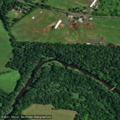
- Bridge Point Park Access → Tyler State Park Access
Neshaminy Creek is a scenic waterway in southeastern Pennsylvania, originating near Chalfont and flowing approximately 40 miles southeast before emptying into the Delaware River near Bensalem. The creek drains a watershed of about 232 square miles, primarily in Bucks County, with its main tributary being the Little Neshaminy Creek.
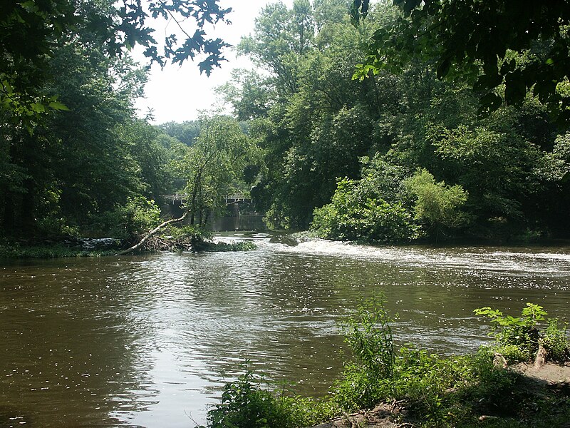
Paddling opportunities on Neshaminy Creek range from calm flatwater sections to more challenging Class II-III rapids. The most popular stretch for paddlers is the 14.5-mile section from Bridge Point Park near Doylestown to Tyler State Park near Newtown. This run offers a mix of peaceful flatwater and mild rapids, passing through picturesque landscapes and under historic bridges. The creek's difficulty varies by section, with the upper reaches being generally calmer and suitable for beginners. The middle sections, particularly around Dark Hollow Park, feature more challenging rapids that intermediate paddlers will enjoy.
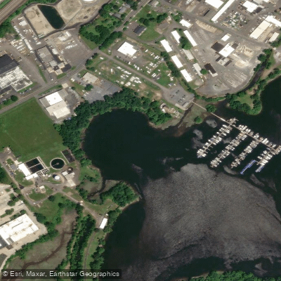
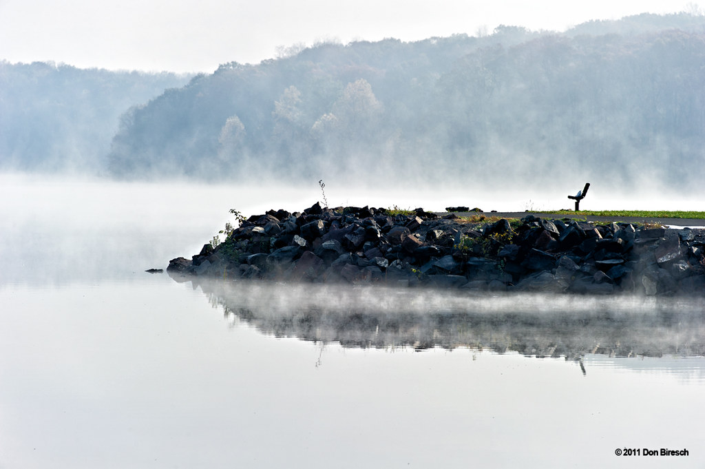
Seasonal water levels affect paddling conditions, with spring and early summer typically offering the best flow. Late summer and fall can see lower water levels, sometimes requiring portaging in shallow areas. Notable landmarks include the eight-arch stone bridge in Dark Hollow Park, believed to be the last of its kind in Pennsylvania. Tyler State Park, encompassing 1,711 acres along the creek, is a focal point for paddling activities and offers boat rentals.
Wildlife enthusiasts may spot great blue herons, bald eagles, and various fish species including trout. Key access points include Bridge Point Park south of Doylestown, Dark Hollow Park near Jamison, and Tyler State Park in Newtown. These locations provide convenient put-in and take-out spots for day trips of varying lengths.
The Neshaminy Creek holds historical significance, having powered mills during the colonial era and played a role in the region's industrial development. Today, it serves as an important recreational resource for the communities it passes through.
Safety considerations include checking water levels before paddling, especially after heavy rains when the creek can become swollen and dangerous. Paddlers should be aware of occasional strainers and low-head dams. Pennsylvania boating regulations apply, including the requirement for personal flotation devices. While multi-day trips are not common due to the creek's length, the variety of sections allows paddlers to explore different stretches over multiple outings, each offering a unique perspective on this beautiful Pennsylvania waterway.
Curated routes
Hand-picked by the PaddleWays team, with put-ins, take-outs, paddle times and the hazards along the way.
RouteFlatwater
Hazards
No paddler has reported a hazard here yet, so these are the dams, falls and big rapids on our map. Hazards change with flows and storms, so check them before you launch.
From the community
Real trips from PaddleWays paddlers: which route they ran, how the flows were, and what to watch for.
Loading trip reports
PaddleWays paddler
79 cfs at Penns Park
Tyler State Park Access to Cornwells Heights, Pa.
See exactly where the public can get on and off the river. Launch points and boat ramps are paired with PaddleWays' public land data so you know where you can legally land.
Public shoreline
44%of the river's shoreline is public
Most of the riverbank is private. Launch, land and camp only at public access points.
Flows, weather and a route-by-route verdict, so you know which stretch of the Neshaminy Creek is worth paddling today.
All Flow Stations
Live flows, marked hazards and fresh trip reports from paddlers who were just on the water, all in one place.





Every user gets free access to launch points, boat ramps, and public property parcels.

Loading popular cities...
PaddleWays gives you everything you need to plan smarter, paddle better, and own every trip from first launch to takeout.