Curated by PaddleWays
RouteClass I–II
- Distance
- 4.8 mi
- Paddle time
- ~1.5 hrs
- Put-in → take-out
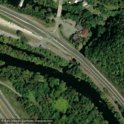
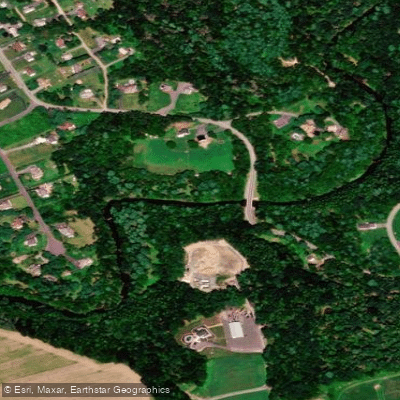
- Old Mill Road Bridge Access → Parryville-Pohopoco Mouth Boat Ramp
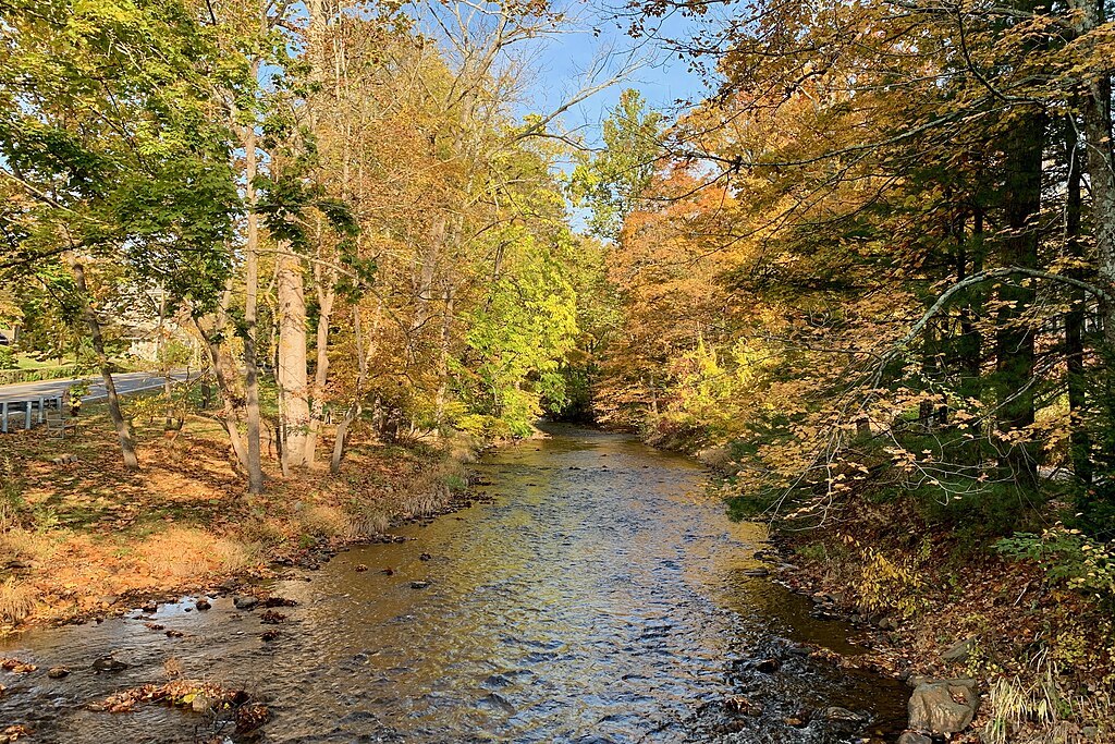
Pohopoco Creek is a scenic 27.8-mile tributary of the Lehigh River in northeastern Pennsylvania. Originating on Pohopoco Mountain in Monroe County, it flows generally southwest through Carbon County before joining the Lehigh River near Parryville. The creek's watershed lies within the southern foothills of the Pocono Mountains.
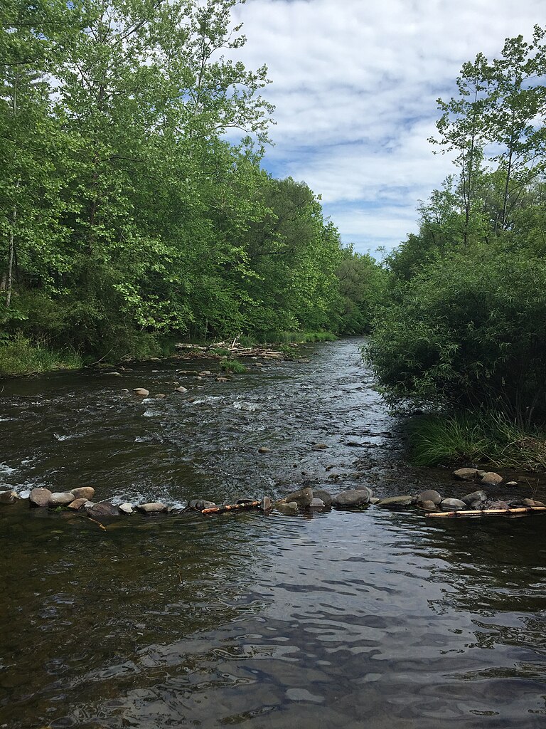
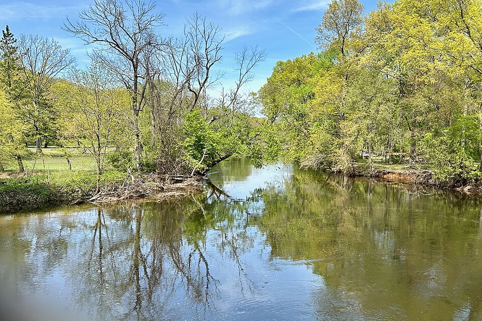
The most notable paddling opportunity on Pohopoco Creek is the Beltzville Lake section. This stretch begins on the creek and continues into the 949-acre Beltzville Lake, formed by damming the creek. Paddlers can enjoy a relaxed 2-2.5 hour kayak trip exploring the eastern portion of Beltzville State Park, suitable for both novice and experienced kayakers. The put-in resembles a slow-moving creek, with the channel widening as you approach the take-out at Preacher's Camp boat launch.
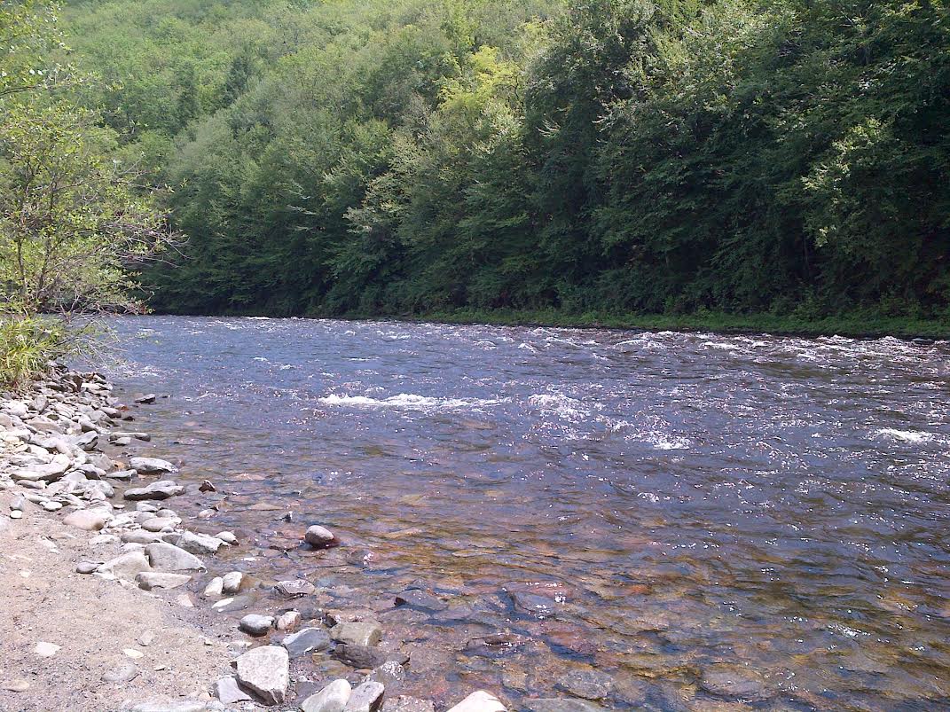
Below Beltzville Dam, Pohopoco Creek offers a scenic 7-mile paddle to its confluence with the Lehigh River. This section provides Class I-II rapids, making it appropriate for intermediate paddlers. The creek is stocked with trout in this stretch, adding interest for anglers. The best paddling season is typically spring through fall, with water levels being most reliable in spring and after summer rains.
Pohopoco Creek and Beltzville Lake serve as important habitats for various wildlife, including migrating waterfowl, making it an excellent destination for nature enthusiasts. Key landmarks include Beltzville State Park, which offers camping, hiking trails, and beach access in addition to paddling opportunities. The historic town of Jim Thorpe is nearby on the Lehigh River, providing additional attractions and amenities for visitors.
Primary access points include unspecified launch sites on Pohopoco Creek upstream of Beltzville Lake, boat launches within Beltzville State Park, and potential take-outs near the confluence with the Lehigh River. The nearby town of Lehighton serves as a convenient base for exploring the area.
Safety considerations include checking water levels and weather conditions before paddling, especially below the dam where water releases can affect flow. Beltzville Lake has a 45 mph speed limit for motorized boats, so paddlers should be aware of other watercraft. While Pohopoco Creek itself may not offer extensive multi-day trip options, it serves as an excellent starting point for longer adventures on the Lehigh River, which offers additional whitewater opportunities through the impressive Lehigh Gorge downstream.
Curated routes
Hand-picked by the PaddleWays team, with put-ins, take-outs, paddle times and the hazards along the way.
RouteClass I–II
Hazards
No paddler has reported a hazard here yet, so these are the dams, falls and big rapids on our map. Hazards change with flows and storms, so check them before you launch.
From the community
Nobody has shared a trip on Pohopoco Creek yet. Paddle it, then tell the next paddler how it went.
See exactly where the public can get on and off the river. Launch points and boat ramps are paired with PaddleWays' public land data so you know where you can legally land.
Public shoreline
33%of the river's shoreline is public
Most of the riverbank is private. Launch, land and camp only at public access points.
Flows, weather and a route-by-route verdict, so you know which stretch of the Pohopoco Creek is worth paddling today.
All Flow Stations
Live flows, marked hazards and fresh trip reports from paddlers who were just on the water, all in one place.





Every user gets free access to launch points, boat ramps, and public property parcels.


Loading popular cities...
PaddleWays gives you everything you need to plan smarter, paddle better, and own every trip from first launch to takeout.