Curated by PaddleWays
RouteClass I
- Distance
- 4.3 mi
- Paddle time
- ~1.5 hrs
- Best for
- All skill levels
- Put-in → take-out
- Halfway Road Access → Greenvlle Riverside Park Access
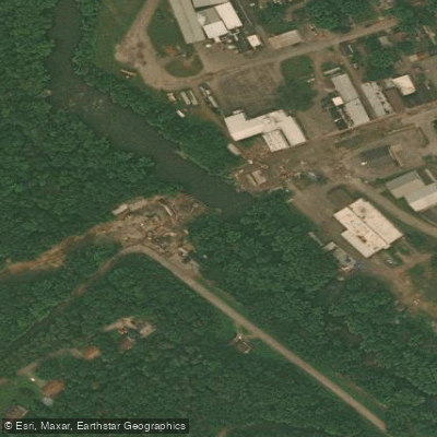
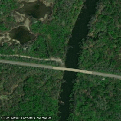
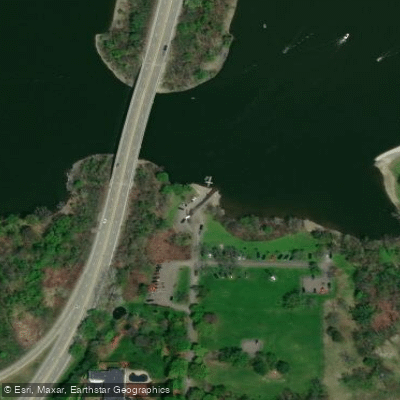
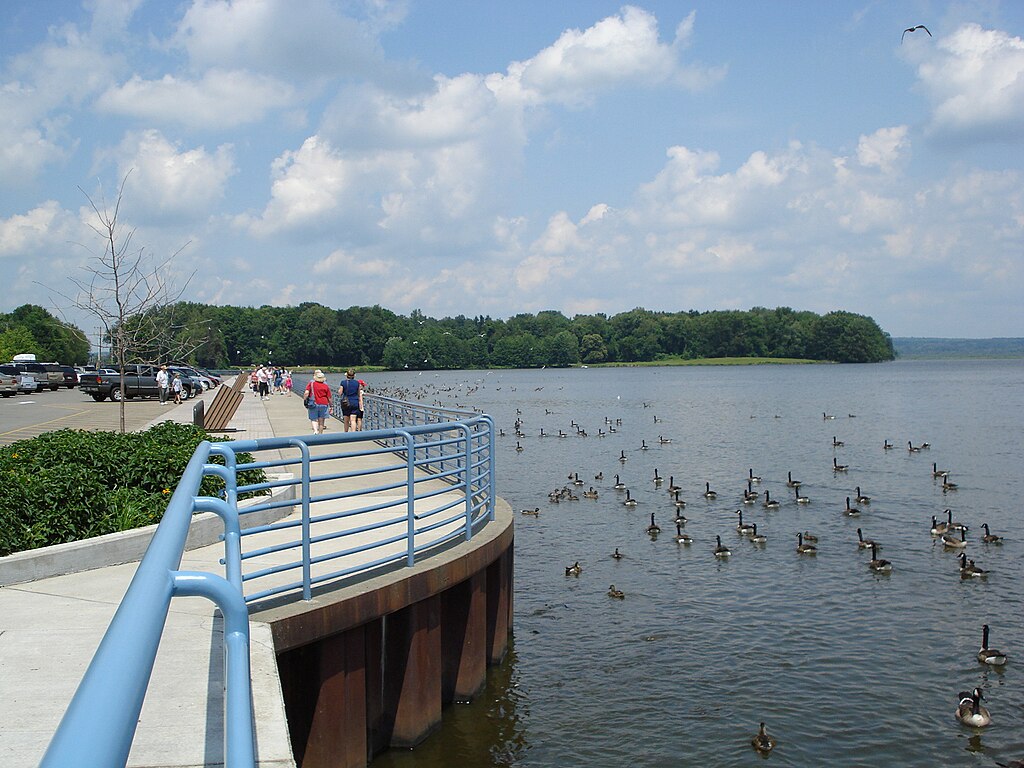
The Shenango River, nestled in the scenic landscapes of northwestern Pennsylvania, offers paddlers a delightful journey through picturesque forests, pastoral farmlands, and charming small towns. This gentle waterway is best known for its Upper Shenango River Water Trail, a 23-mile stretch that provides an ideal setting for both novice and experienced paddlers alike.
Beginning at Pymatuning State Park, the river meanders southward, passing through the quaint towns of Jamestown and Greenville before reaching its terminus at the Shenango River Lake. The water trail is characterized by its Class I rapids, interspersed with occasional riffles that add a touch of excitement to the otherwise tranquil float. This makes the Shenango an excellent choice for families, first-time paddlers, or those simply seeking a relaxing day on the water.
The river can be enjoyed in sections of varying lengths, with popular put-in and take-out points at Jamestown, Greenville, and Big Bend. A favorite among locals is the 9-mile stretch from Jamestown to Greenville, which typically takes about 3.5 hours to complete. For those looking for a longer adventure, the entire 23-mile water trail can be paddled in a day or split into a leisurely multi-day trip.
Spring and early summer often provide the best water levels for paddling, though the Shenango remains navigable throughout much of the year. Fall offers a particularly stunning backdrop as the surrounding forests burst into a vibrant display of autumn colors.
Wildlife enthusiasts will find plenty to observe along the Shenango. The river corridor is home to a diverse array of bird species, including various ducks, songbirds, and even majestic birds of prey such as bald eagles and ospreys. Lucky paddlers might spot beavers, muskrats, deer, and raccoons along the shoreline.
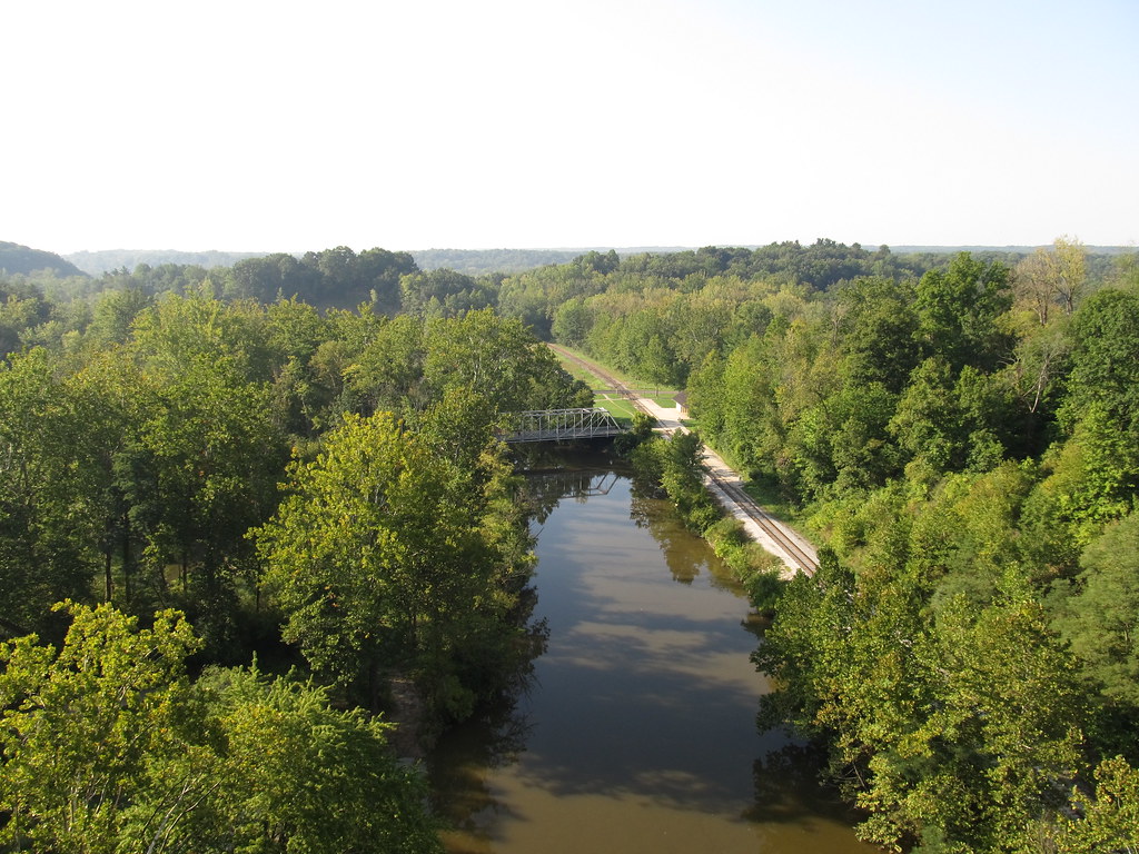
The Shenango River Valley boasts a rich history, once serving as the route for the Erie Extension Canal. Observant paddlers can still spot remnants of this 19th-century waterway along their journey, offering a glimpse into the region's industrial past.
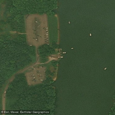
Several well-maintained access points and launch sites dot the river's course, with amenities such as parking areas and, in some cases, restroom facilities. The towns of Jamestown and Greenville provide convenient spots for resupply or a break from paddling, with Riverside Park in Greenville serving as a popular rest stop.
While the Shenango is generally considered a safe river for paddling, it's always wise to check current water conditions and weather forecasts before embarking on your trip. As with any water activity, wearing a personal flotation device is strongly recommended.
For those seeking a multi-day adventure, combining the Jamestown to Greenville and Greenville to Big Bend sections creates an excellent overnight trip. Camping options are available near the river, allowing paddlers to fully immerse themselves in the natural beauty of the Shenango Valley.
Whether you're looking for a quick afternoon float or a more extended paddling experience, the Shenango River offers a serene and accessible waterway that showcases the natural beauty of northwestern Pennsylvania. Its gentle current, diverse wildlife, and historical significance make it a hidden gem for paddlers of all skill levels.
Curated routes
Hand-picked by the PaddleWays team, with put-ins, take-outs, paddle times and the hazards along the way.
RouteClass I
RouteClass I
RouteClass I
Hazards
No paddler has reported a hazard here yet, so these are the dams, falls and big rapids on our map. Hazards change with flows and storms, so check them before you launch.
From the community
Real trips from PaddleWays paddlers: which route they ran, how the flows were, and what to watch for.
Loading trip reports
Greg H.
138 cfs at Pymatuning Dam
Toni V.
SUP •
473 cfs at Sharpsville
West Middlesex to Nashua
Toni V.
1,180 cfs at Sharpsville
West Middlesex to Bevington
See exactly where the public can get on and off the river. Launch points and boat ramps are paired with PaddleWays' public land data so you know where you can legally land.
Public shoreline
17%of the river's shoreline is public
Most of the riverbank is private. Launch, land and camp only at public access points.
Flows, weather and a route-by-route verdict, so you know which stretch of the Shenango River is worth paddling today.
All Flow Stations
Scheduled releases and generation forecasts from the dams on Shenango River.
Shenango River · Below Shenango Dam · National Weather Service
425 cfs now
Forecast updated today at 4:37 PM EST. Schedules can change, so check the operator's page before you go.
Live flows, marked hazards and fresh trip reports from paddlers who were just on the water, all in one place.





Every user gets free access to launch points, boat ramps, and public property parcels.

Loading popular cities...
PaddleWays gives you everything you need to plan smarter, paddle better, and own every trip from first launch to takeout.