Tuscarawas River
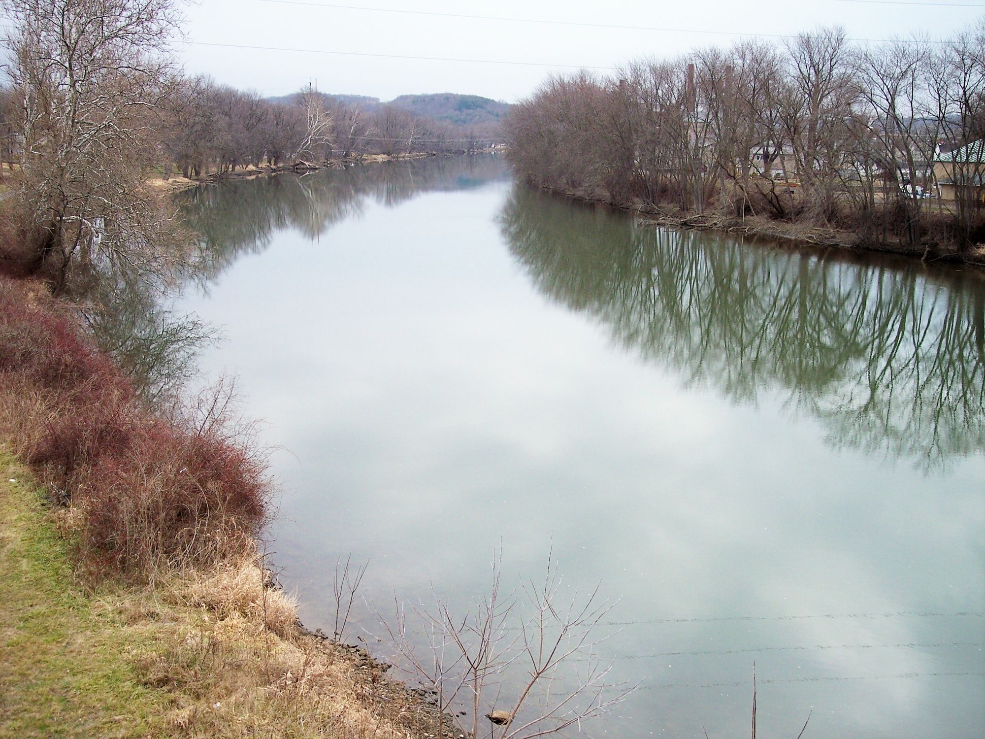
Tuscarawas River
- Boat Ramps
- 18
- Access Points
- 28
- Campsites
- 4
The Tuscarawas River is a significant waterway in eastern Ohio, flowing generally south and east for approximately 130 miles before joining the Walhonding River to form the Muskingum River. It originates near Akron and passes through several counties including Stark, Tuscarawas, and Coshocton. The river offers diverse paddling opportunities, ranging from calm flatwater sections ideal for beginners to occasional Class II rapids that provide a bit more excitement for intermediate paddlers. Popular sections include the scenic stretch from Schoenbrunn to Gnadenhutten, and the longer journey from Canal Fulton to Bolivar.
Most of the Tuscarawas River is suitable for canoes and kayaks, with difficulty levels primarily in the flatwater to Class I range. However, paddlers should be prepared for one set of Class II rapids between Gnadenhutten and Newcomerstown. The river is generally slow-moving, making it perfect for leisurely trips and fishing excursions. Spring and early summer typically offer the best water levels for paddling, though the river is often navigable well into fall. Paddlers should check water levels before trips, especially during drier periods.
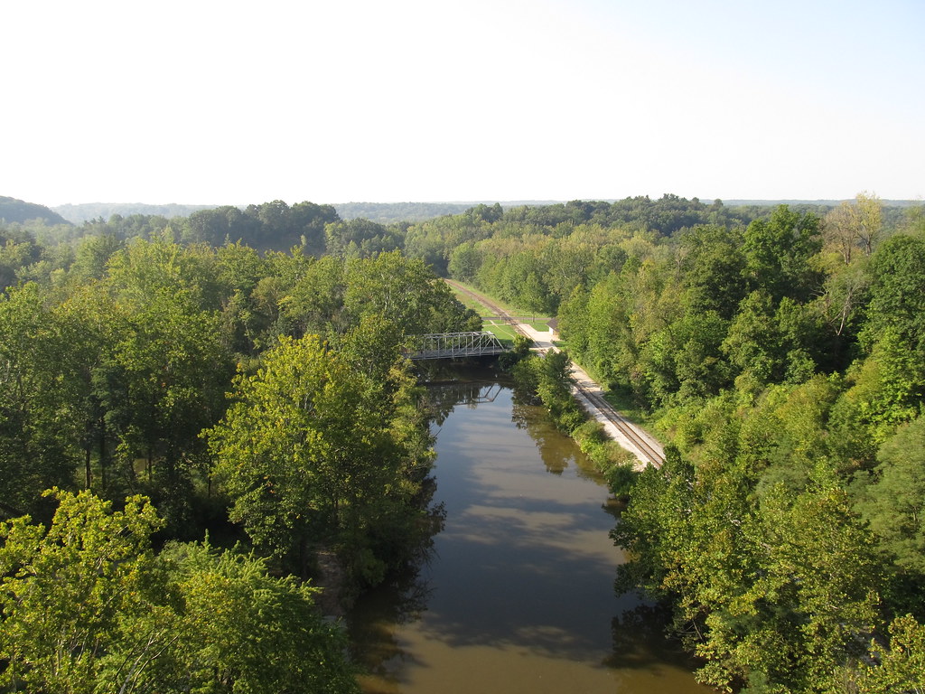
The river corridor supports a diverse ecosystem, with opportunities to spot various bird species, fish, and occasional mammals along the forested banks. Smallmouth bass fishing is particularly popular in certain stretches. Key landmarks include the Ohio and Erie Canal Towpath Trail, which parallels portions of the river, and historic sites like Schoenbrunn Village. The river passes through or near several towns, including New Philadelphia, Dover, and Coshocton, offering convenient access points and amenities for paddlers.
Historically, the Tuscarawas River played a crucial role in Native American settlements and early European exploration of the region. Today, it forms part of the Tuscarawas River Water Trail, highlighting its recreational and cultural significance. Safety considerations include being aware of low-head dams, particularly near urban areas, and occasional strong winds in open sections. Paddlers should also be cautious of submerged obstacles and fluctuating water levels.
For those interested in multi-day adventures, the full 130-mile journey from Long Lake to the confluence with the Walhonding River offers an extended paddling experience through varied landscapes. Camping opportunities exist along the route, though paddlers should plan carefully and be aware of private property boundaries. Access points are numerous, with popular put-ins at Canal Fulton, Bolivar, Dover, and New Philadelphia. Many sections offer shorter day-trip options, making the Tuscarawas River an accessible and versatile paddling destination in eastern Ohio.
Water access, boat ramps & amenities
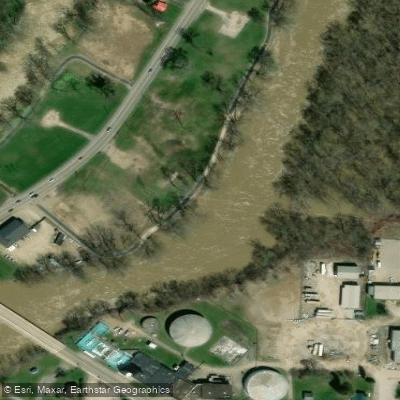
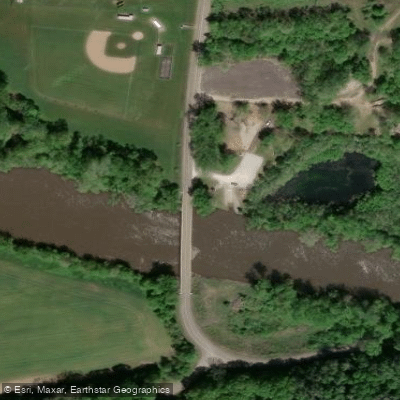
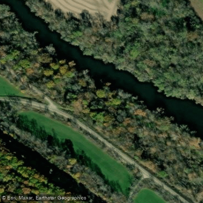
Learn how to get on Tuscarawas River. Uncover great paddling access points, boat ramps, and all the facilities you need for an unforgettable day on the water. Some locations shown may border or include private property. Always check property boundaries and applicable regulations before visiting. PaddleWays's Public & Private Land layer can help you plan your access with confidence.
Paddle smarter with real-time insights
Whether you're en route and conditions shift or you're looking for the best spot based on current flows, we enable you to make informed decisions on the fly.








Find Places to Paddle

Over 400,000 Places to Paddle
Every user gets free access to launch points, boat ramps, and public property parcels.


Water and weather conditions (10 day forecast)
See the best times to paddle Tuscarawas River and check the forecast before you go.
Tuscarawas River above Barberton OH
All Flow Stations
Paddling near Tuscarawas River
Cuyahoga River

Ohio River

Lake Erie
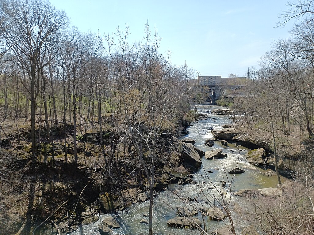
East Branch Rocky River
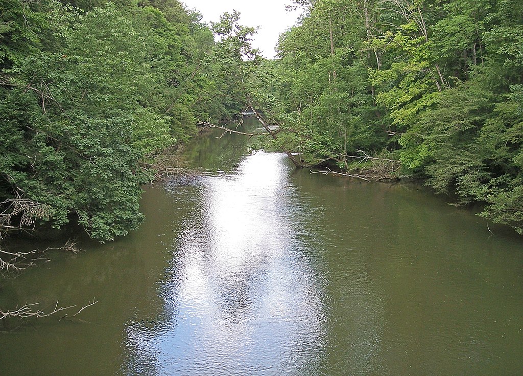
Clear Fork Mohican River
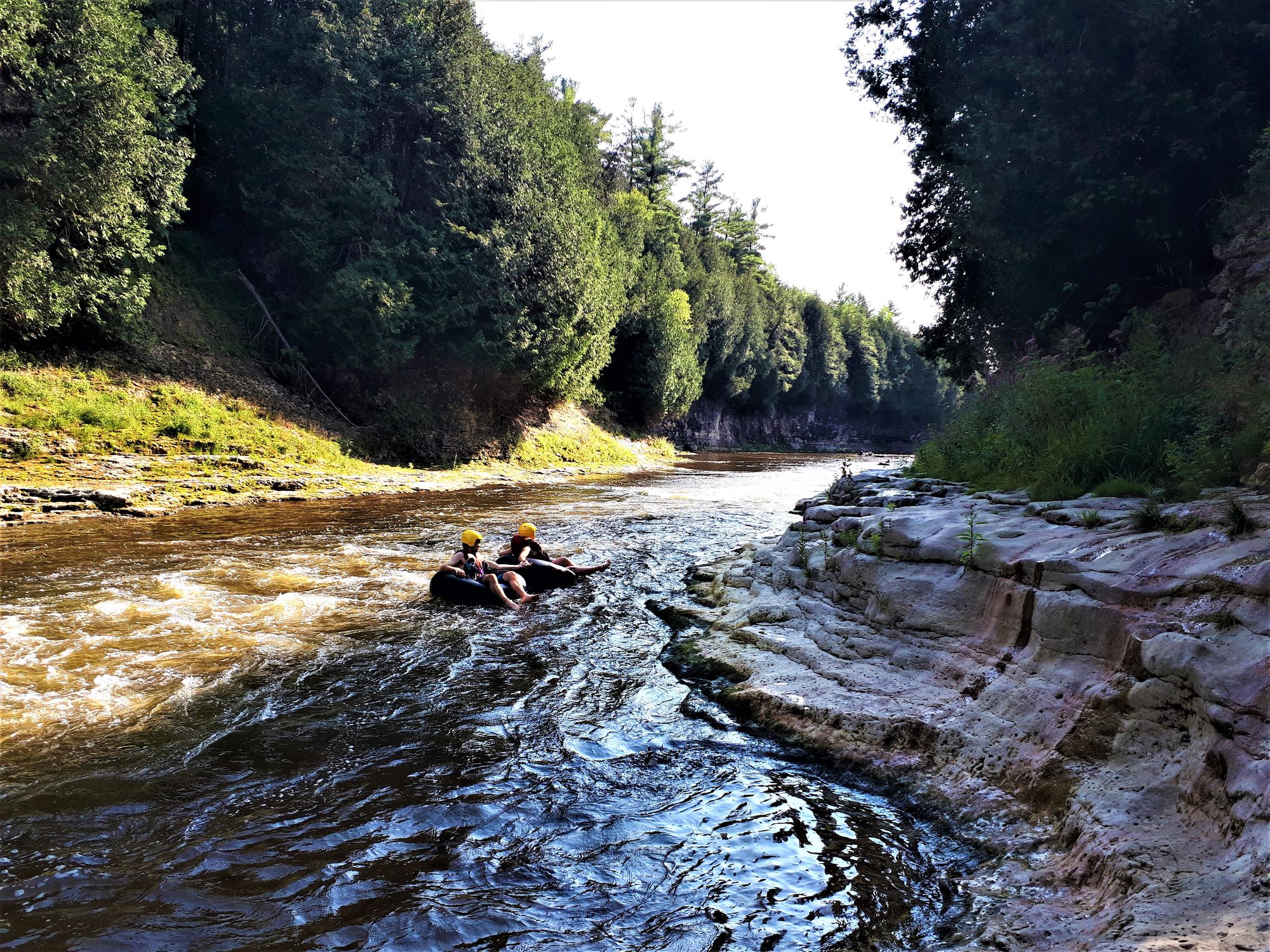
Grand River
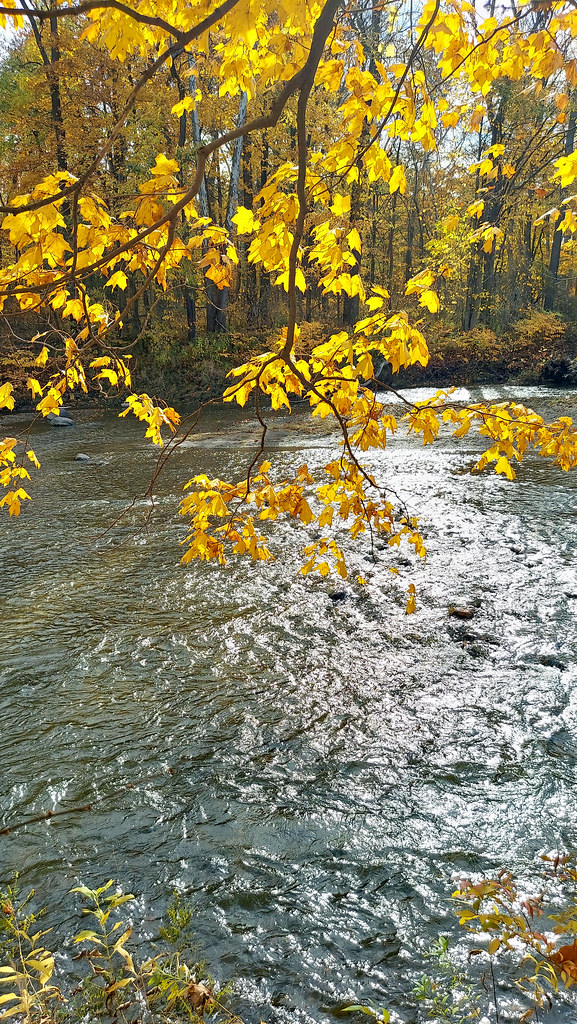
Chagrin River
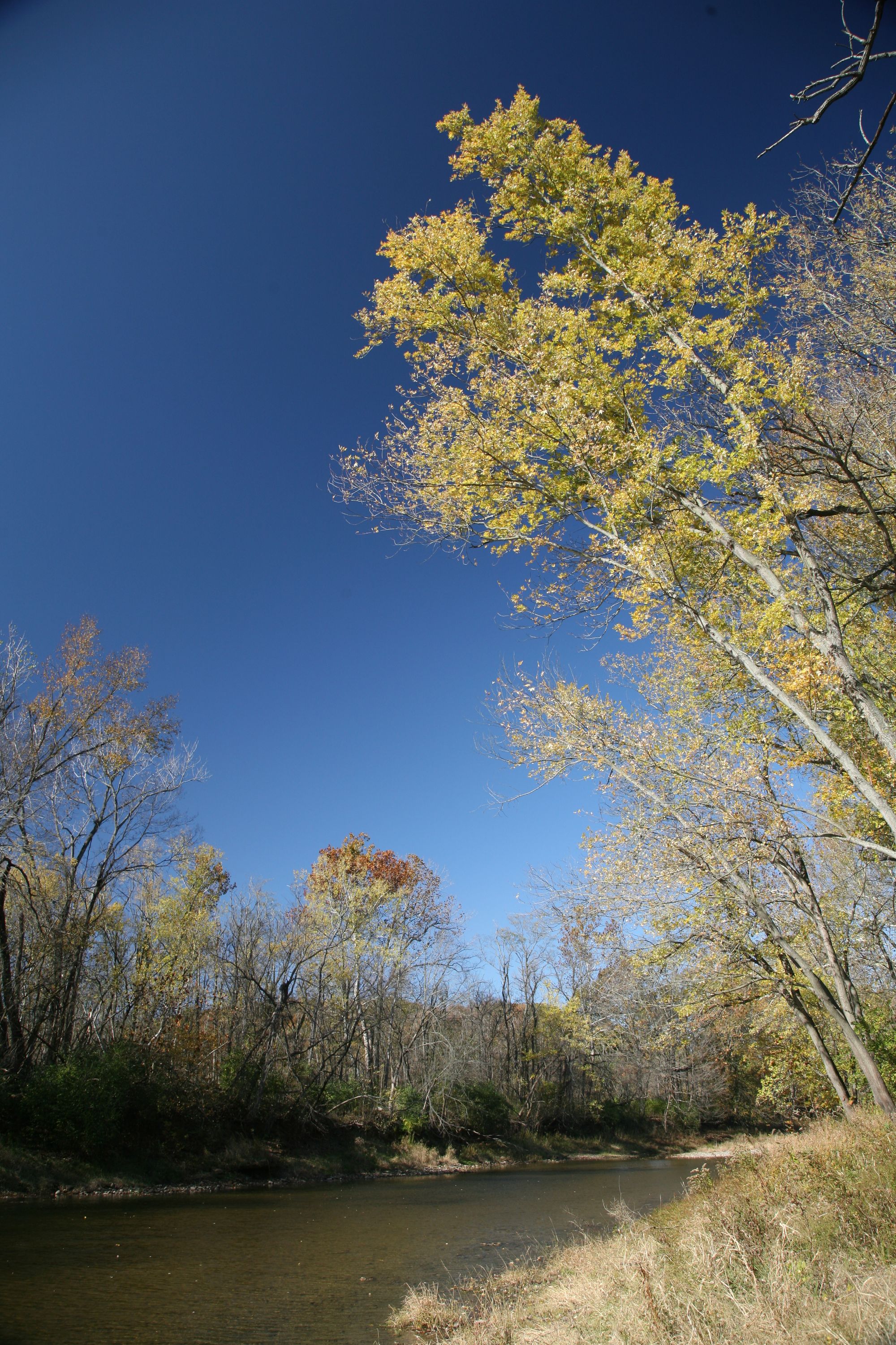
Vermilion River
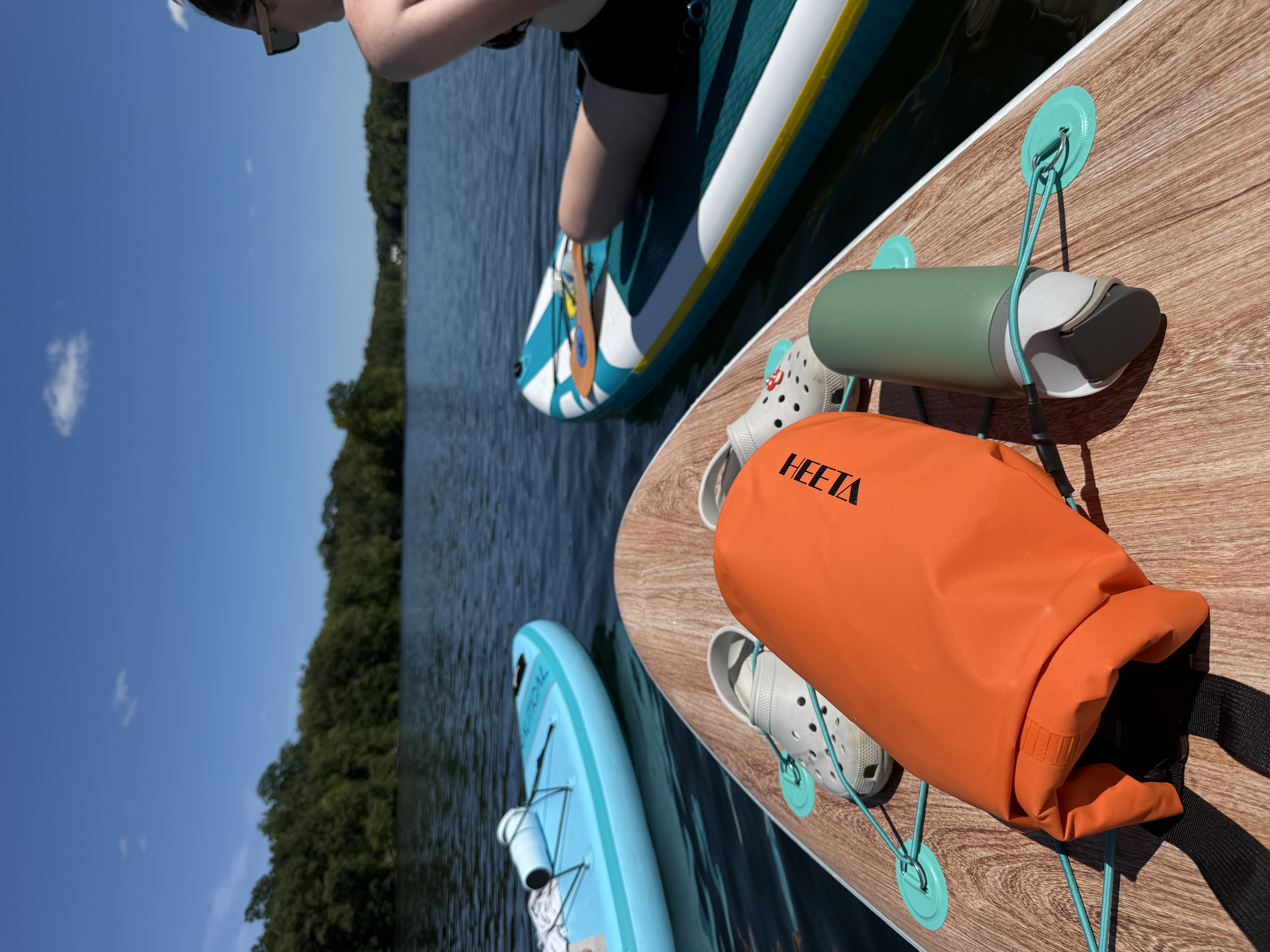
Nimisila Reservoir
Explore Ohio waters
Top paddling waters
Popular Cities
Loading popular cities...
Explore near Tuscarawas River
Access points
- Tuscarawas River Canoe Launch
- Tuscarawas River Canoe Launch
- Tuscarawas River Canoe Launch
- Tuscarawas River Canoe Launch
- Baird Boat Ramp
- Tuscarawas River Canoe Launch
- Tuscarawas River Canoe Launch
- Tuscarawas River Canoe Launch
- Tuscarawas River Canoe Launch
- River Glen Estates Boat Ramp
- Tuscarawas River Canoe Launch
- Gnadenhutten Village Boat Ramp
- All 288 spots
Nearby waters
More in Ohio

Smarter Paddling Starts in the App.
Paddleways gives you everything you need to plan smarter, paddle better, and own every trip from first launch to takeout.