Curated by PaddleWays
RouteClass II
- Distance
- 5.5 mi
- Paddle time
- ~2 hrs
- Put-in → take-out
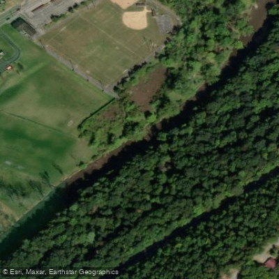
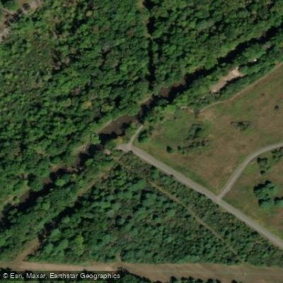
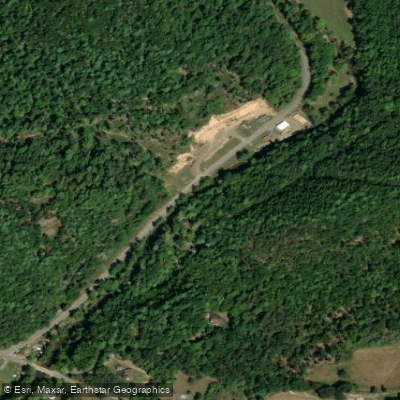
- DeForrest Road Access → Detwiler Memorial Field Access
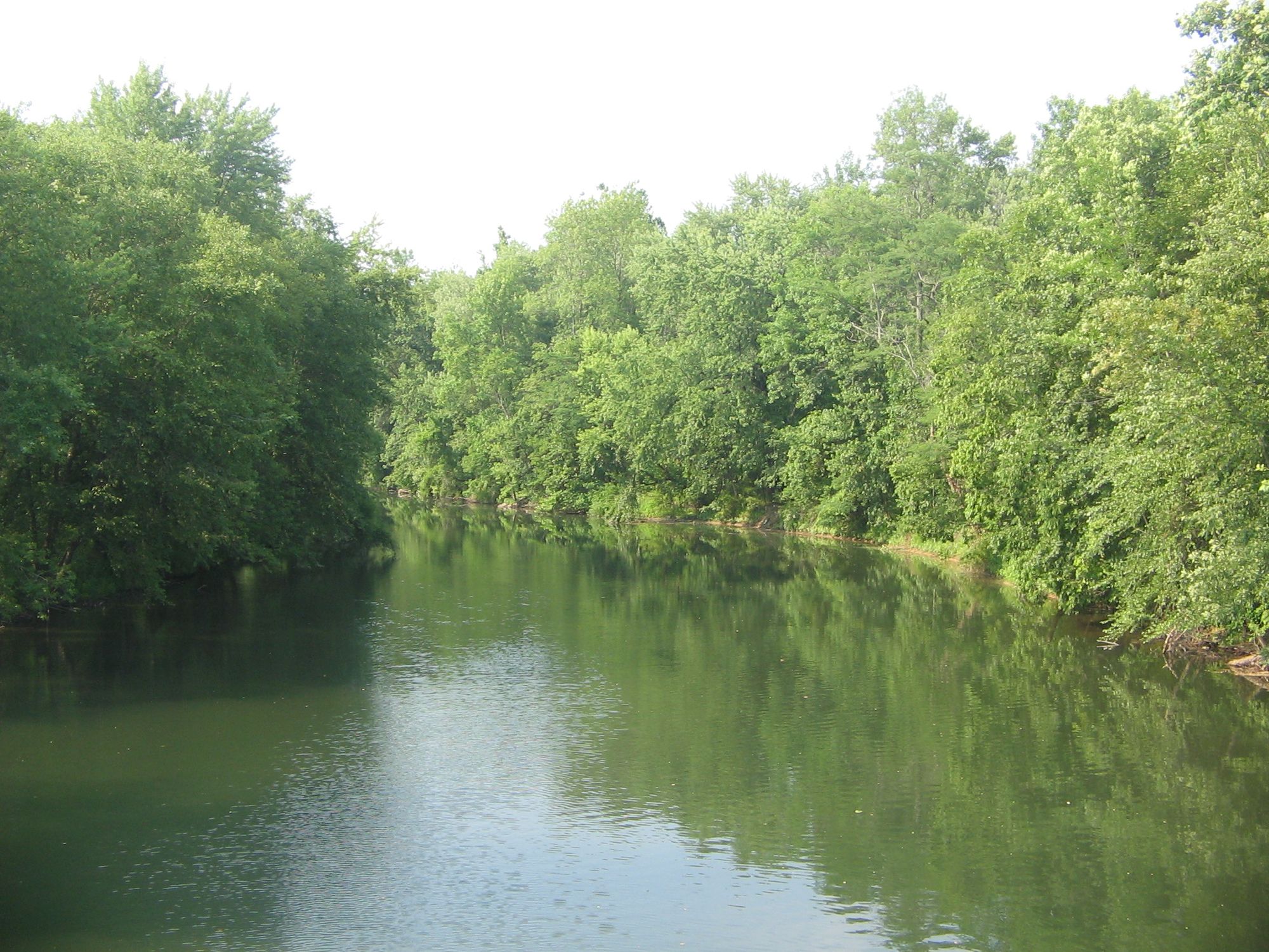
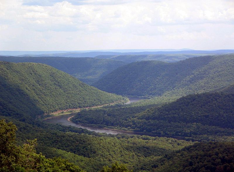
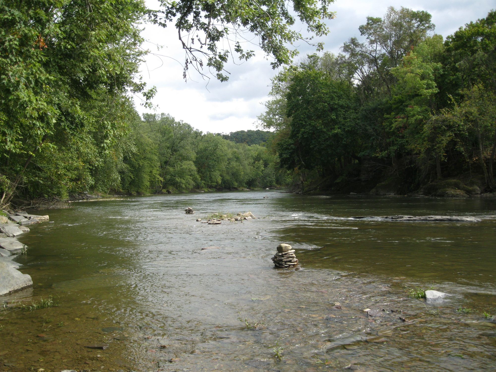
Standing Stone Creek is a picturesque 34.2-mile-long tributary of the Juniata River, flowing through Huntingdon and Centre counties in central Pennsylvania. The creek originates in the forested hills of Centre County and flows generally southwest before joining the Juniata River in the borough of Huntingdon. This scenic waterway offers excellent paddling opportunities, particularly in its lower sections near Huntingdon. The most popular paddling route is a 3-mile stretch from the end of DeForrest Road to Detwiler Field in Huntingdon. This section features swift Class II water and beautiful scenery, making it a favorite for local paddling groups like the Juniata River Paddlers.
The difficulty of Standing Stone Creek ranges from flatwater to Class II rapids, suitable for beginner to intermediate paddlers. The creek is best paddled in spring and early summer when water levels are highest. Late summer and fall can see lower water levels that may require occasional portaging.
Standing Stone Creek is renowned for its excellent trout fishing. The Pennsylvania Fish and Boat Commission aggressively stocks the creek, particularly in its upper reaches, making it a popular destination for anglers from April through September. The surrounding landscape supports diverse wildlife, including various bird species and small mammals. Key landmarks include the historic Pennsylvania Railroad Old Bridge that crosses the creek in Huntingdon.
The creek's name comes from a large standing stone that once stood near its banks, believed to have been used as a trail marker by Native Americans. Primary access points include the put-in at the end of DeForrest Road and the take-out at Detwiler Field in Huntingdon. The nearby town of Huntingdon serves as the main gateway for creek adventures, offering amenities and accommodations for visitors.
The creek holds cultural significance as an important waterway for early settlers and played a role in the region's industrial development. Today, it serves as a valuable recreational resource and is part of broader conservation efforts in the Juniata River watershed.
Paddlers should be aware of potential strainers and log jams, especially after high water events. All users should follow Leave No Trace principles and check local regulations regarding fishing licenses and boating requirements. While primarily suited for day trips, ambitious paddlers could potentially arrange multi-day expeditions combining Standing Stone Creek with sections of the Juniata River, though this would require careful planning and logistics.
Curated routes
Hand-picked by the PaddleWays team, with put-ins, take-outs, paddle times and the hazards along the way.
RouteClass II
Hazards
No hazards are marked on Standing Stone Creek yet. That is not the same as none being there: if you find one, report it for the next paddler.
From the community
Nobody has shared a trip on Standing Stone Creek yet. Paddle it, then tell the next paddler how it went.
See exactly where the public can get on and off the river. Launch points and boat ramps are paired with PaddleWays' public land data so you know where you can legally land.
Public shoreline
20%of the river's shoreline is public
Most of the riverbank is private. Launch, land and camp only at public access points.
Flows, weather and a route-by-route verdict, so you know which stretch of the Standing Stone Creek is worth paddling today.
No forecast data available.
Live flows, marked hazards and fresh trip reports from paddlers who were just on the water, all in one place.





Every user gets free access to launch points, boat ramps, and public property parcels.
Loading popular cities...
PaddleWays gives you everything you need to plan smarter, paddle better, and own every trip from first launch to takeout.