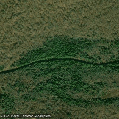
Curated by PaddleWays
RouteClass I–III
- Distance
- 1.5 mi
- Paddle time
- ~0.5 hrs
- Put-in → take-out
- Route 115 Access → Route 940 Access
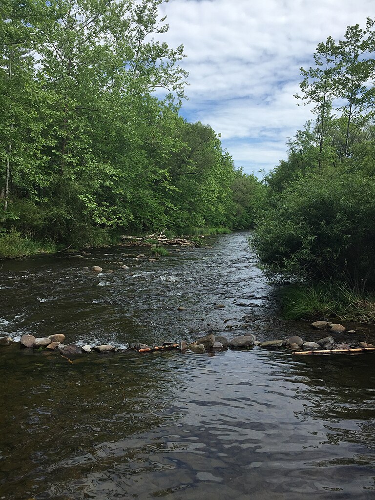
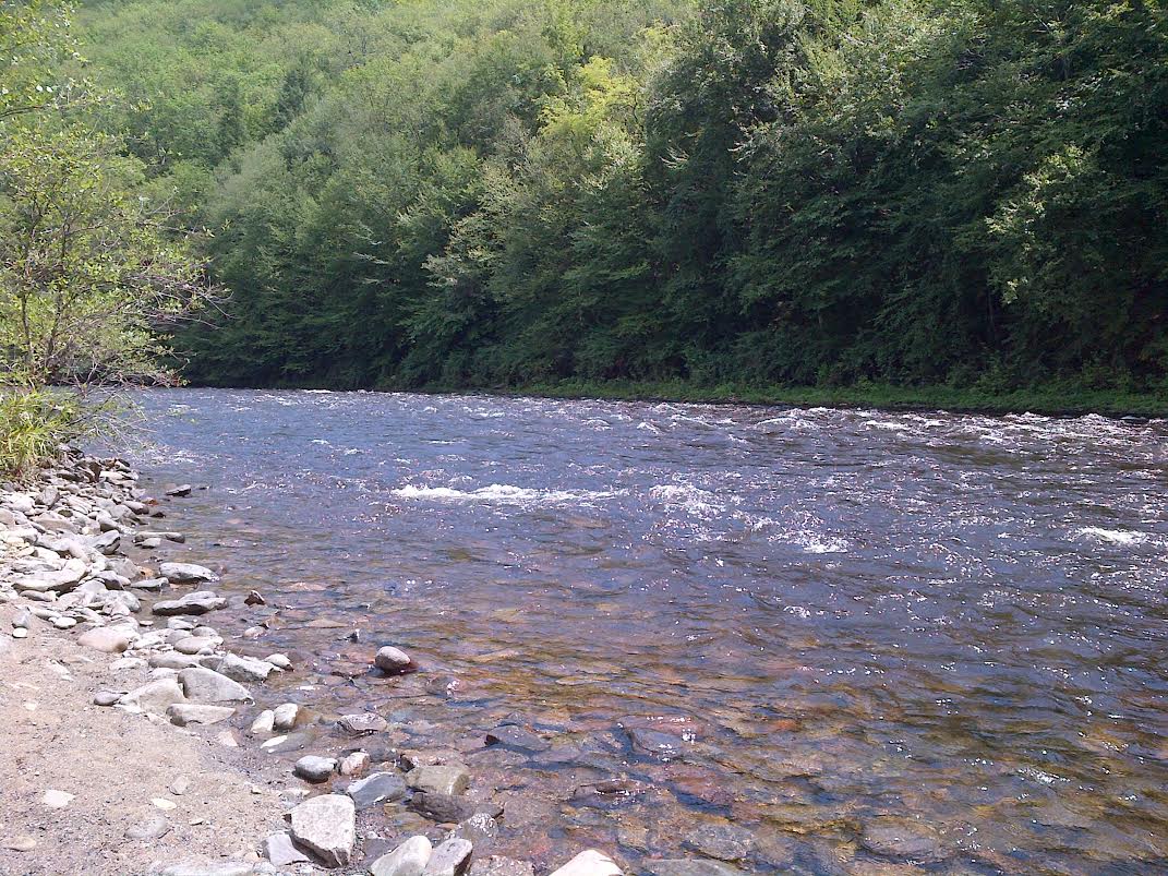
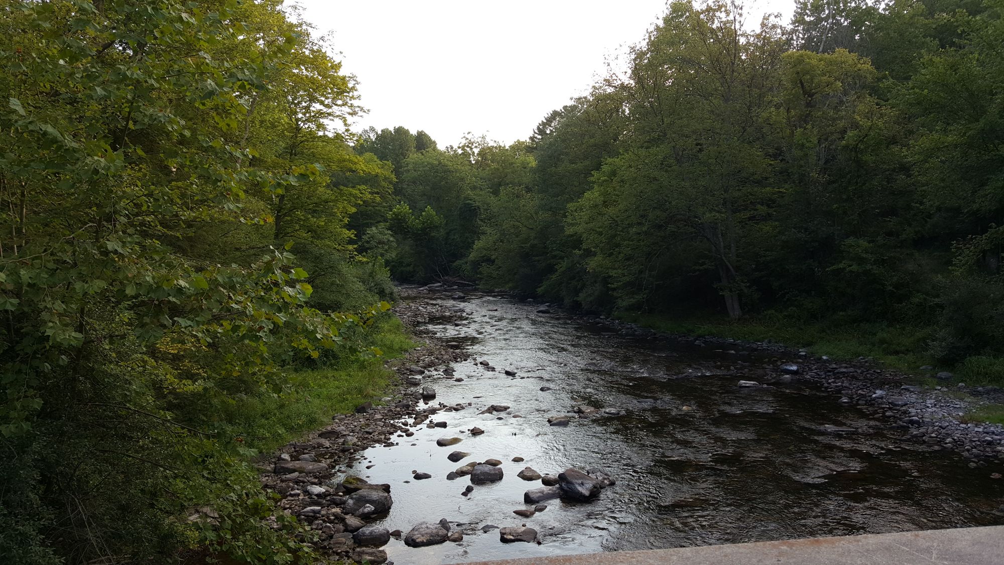
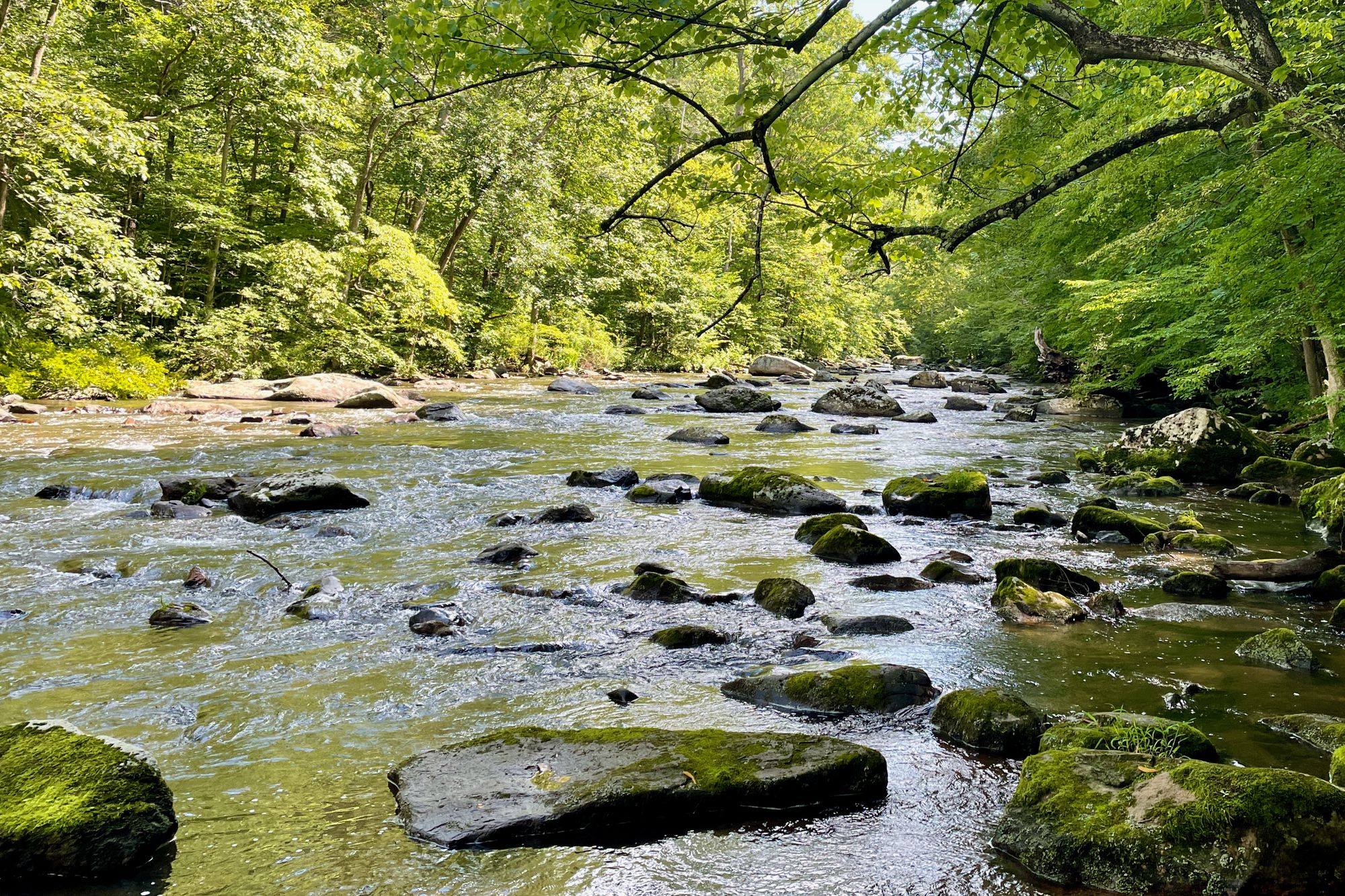
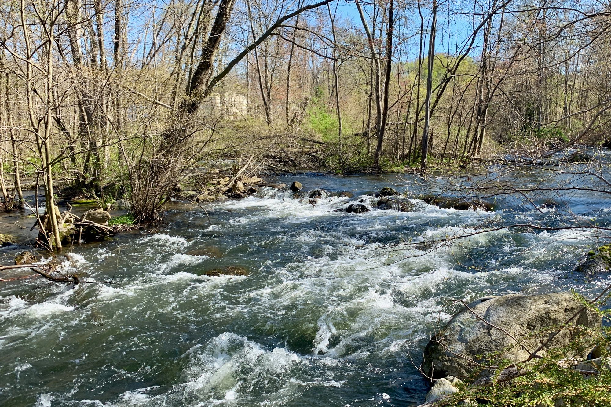
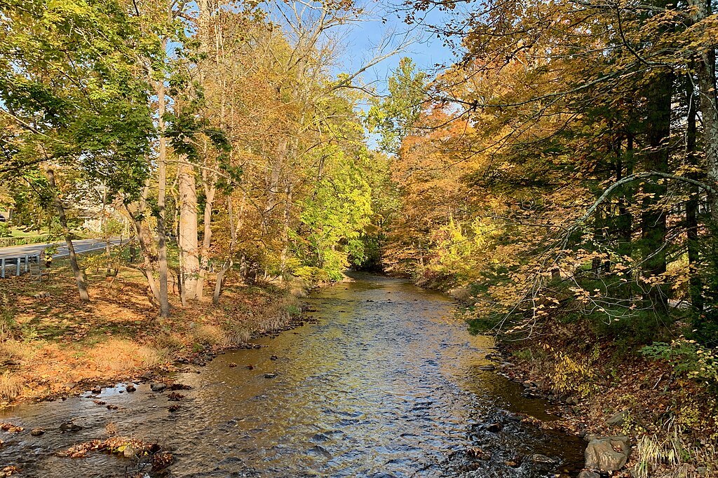
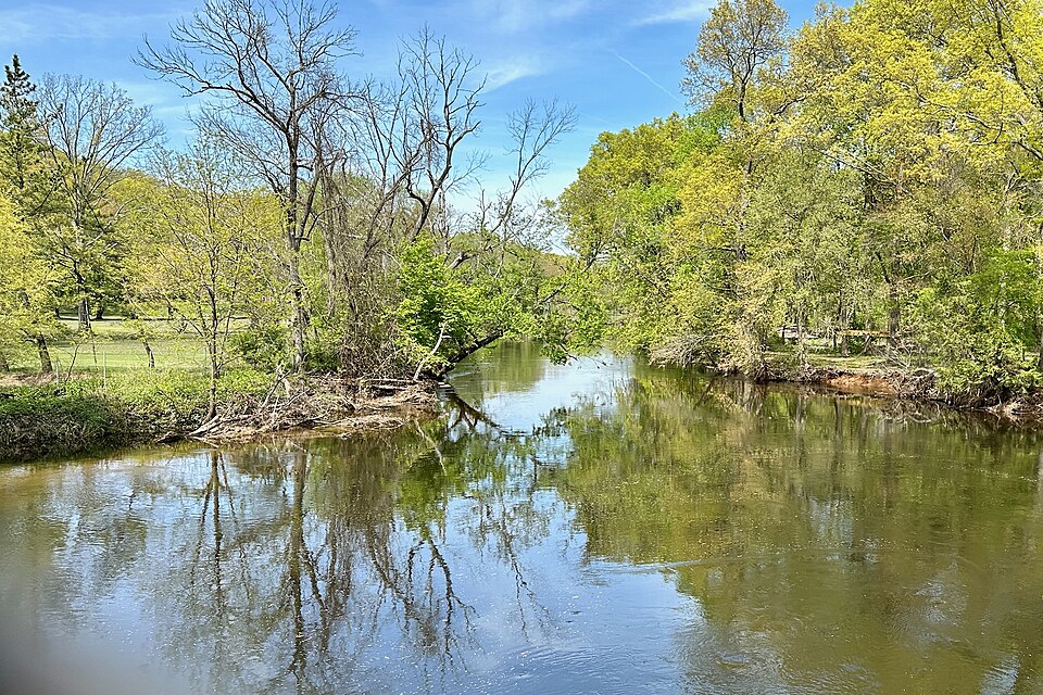
Tobyhanna Creek is a scenic waterway located in the Pocono Mountains region of northeastern Pennsylvania. The creek originates in Monroe County and flows generally southeast, eventually joining the Lehigh River. While the exact length is not specified, it forms part of the larger Delaware River watershed. Paddling opportunities on Tobyhanna Creek offer a mix of experiences, from calm flatwater sections to more challenging Class I-III rapids.
The most popular section for whitewater enthusiasts runs 4.4 miles from Pennsylvania Route 115 to Route 940, providing a blend of scenic views and exciting rapids. This stretch is suitable for intermediate paddlers, with some technical maneuvering required. Downstream, the creek feeds into Tobyhanna Lake within Tobyhanna State Park, offering additional flatwater paddling options. The 170-acre lake is perfect for canoes, kayaks, and other non-motorized boats. From the lake's outlet, Tobyhanna Creek continues via a spillway in the dam.
The best paddling times are typically spring through fall, with water levels being most reliable in spring and after significant rainfall. Paddlers should always check current conditions, as water levels can fluctuate. The creek's ecosystem supports a variety of fish species, including trout, making it popular among anglers. The surrounding forests are home to typical Pocono Mountain flora and fauna, adding to the scenic beauty of a paddling trip.
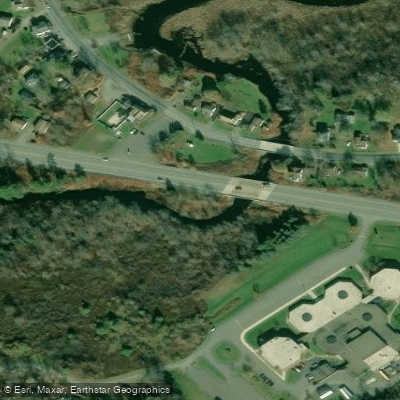
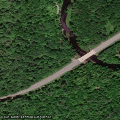
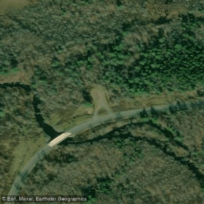
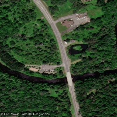
Key landmarks include the Route 115 and Route 940 bridges, Tobyhanna State Park, and the creek's confluence with the Lehigh River. Access points are available near these locations, with the towns of Blakeslee and Tobyhanna being the nearest population centers. Historically, the creek and surrounding area have been important for recreation and conservation. The establishment of Tobyhanna State Park in 1949 further cemented the creek's role in local outdoor activities.
Safety considerations include being prepared for variable water conditions and potential strainers. All paddlers must follow Pennsylvania boating regulations, including wearing appropriate personal flotation devices. While multi-day trips exclusively on Tobyhanna Creek are limited due to its size, paddlers can incorporate it into longer Pocono Mountain paddling adventures, potentially combining it with trips on the Lehigh River or other nearby waterways.
For those seeking a private paddling experience, a 3.1-mile section of the creek is managed by a local club, though this is only accessible to members and their guests. This stretch, located just north of Route 940, offers a more secluded paddling option for those with the right connections. Tobyhanna Creek, with its varied paddling options and beautiful Pocono Mountain setting, provides an excellent opportunity for paddlers to experience the natural beauty of northeastern Pennsylvania.
Curated routes
Hand-picked by the PaddleWays team, with put-ins, take-outs, paddle times and the hazards along the way.
RouteClass I–III
Hazards
No paddler has reported a hazard here yet, so these are the dams, falls and big rapids on our map. Hazards change with flows and storms, so check them before you launch.
From the community
Real trips from PaddleWays paddlers: which route they ran, how the flows were, and what to watch for.
Loading trip reports
Elena V.
Pennsylvania Route 115 to Pennsylvania Route 940• 210 cfs at Blakeslee
Route 940 Access to Route 115 Access
See exactly where the public can get on and off the river. Launch points and boat ramps are paired with PaddleWays' public land data so you know where you can legally land.
Public shoreline
43%of the river's shoreline is public
Most of the riverbank is private. Launch, land and camp only at public access points.
Flows, weather and a route-by-route verdict, so you know which stretch of the Tobyhanna Creek is worth paddling today.
Live flows, marked hazards and fresh trip reports from paddlers who were just on the water, all in one place.





Every user gets free access to launch points, boat ramps, and public property parcels.


Loading popular cities...
PaddleWays gives you everything you need to plan smarter, paddle better, and own every trip from first launch to takeout.