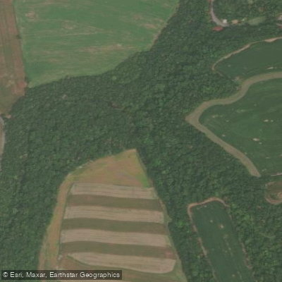
Curated by PaddleWays
RouteClass II
- Distance
- 23.6 mi
- Paddle time
- ~8 hrs
- Best for
- Intermediate paddlers
- Put-in → take-out
- Wiconisco Park Access → Myo Park Access
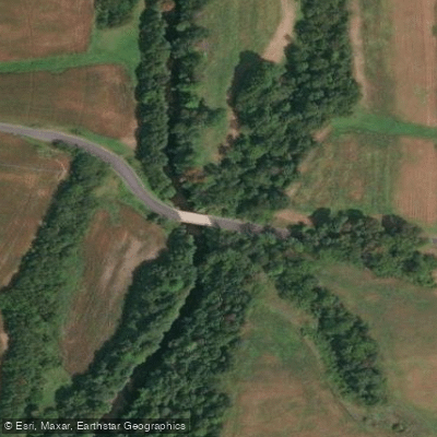
Wiconisco Creek, a tributary of the Susquehanna River, flows through Schuylkill and Dauphin counties in Pennsylvania. Originating in the forested hills of southwestern Schuylkill County, the creek meanders westward through a 116-square-mile watershed before joining the Susquehanna near Millersburg. Its primary tributaries include Little Wiconisco Creek, Bear Creek, and Rattling Creek.
The creek offers two distinct paddling sections. The Upper Wiconisco, nicknamed Brookie Nation by local anglers, stretches approximately 10 miles from near Elizabethville to Loyalton. This section winds through a mix of agricultural lands and forested areas, providing a serene backdrop for paddlers and fly fishers alike. The Lower Wiconisco, a 10-mile stretch from Loyalton to the Susquehanna confluence, features Class II rapids, making it suitable for intermediate paddlers.
Overall, Wiconisco Creek presents a range of difficulty from calm flatwater to moderate Class II whitewater, requiring basic to intermediate paddling skills. The creek is best paddled in spring or after substantial rainfall, as summer months often bring lower water levels.
The watershed supports a diverse ecosystem, with the upper reaches known for their healthy brook trout population. Paddlers may spot various bird species and potentially deer or small mammals along the wooded banks.
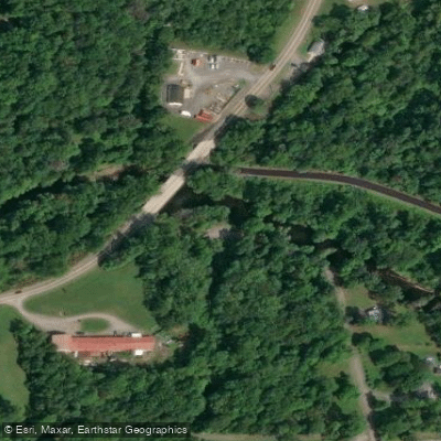
Key landmarks include the old dam at the lower end of Wiconisco Park in Loyalton, serving as a put-in for the lower section, and the Ned Smith Center, located just downstream. The creek passes through several small towns, including Elizabethville, Loyalton, and Millersburg, before reaching its confluence with the Susquehanna.
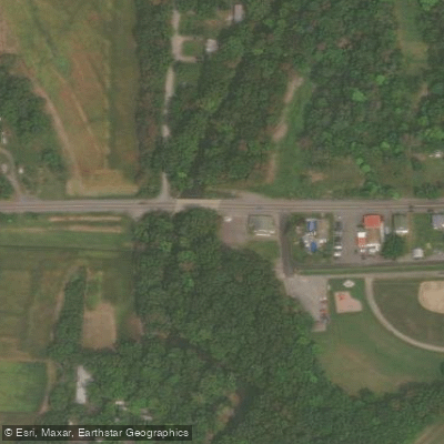
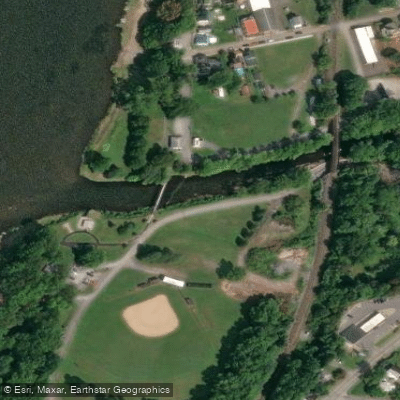
Access points are available near Elizabethville for the upper section, while the lower section can be accessed at the Wiconisco Park dam in Loyalton. The take-out for the lower run is at Myo Park, where Wiconisco Creek meets the Susquehanna River.
Historically, the creek played a role in the region's coal mining industry, evident in some upstream impairments from acid mine drainage. Today, it serves as an important recreational resource for the local communities.
Paddlers should be aware of potential strainers and fluctuating water levels. As with all Pennsylvania waterways, life jackets are required, and paddlers should check local regulations before their trip. While multi-day trips are not common on Wiconisco Creek itself, its proximity to the Susquehanna River offers opportunities for extended paddling adventures by combining the two waterways.
Curated routes
Hand-picked by the PaddleWays team, with put-ins, take-outs, paddle times and the hazards along the way.
RouteClass II
Hazards
No hazards are marked on Wiconisco Creek yet. That is not the same as none being there: if you find one, report it for the next paddler.
From the community
Real trips from PaddleWays paddlers: which route they ran, how the flows were, and what to watch for.
Loading trip reports
Amber R.
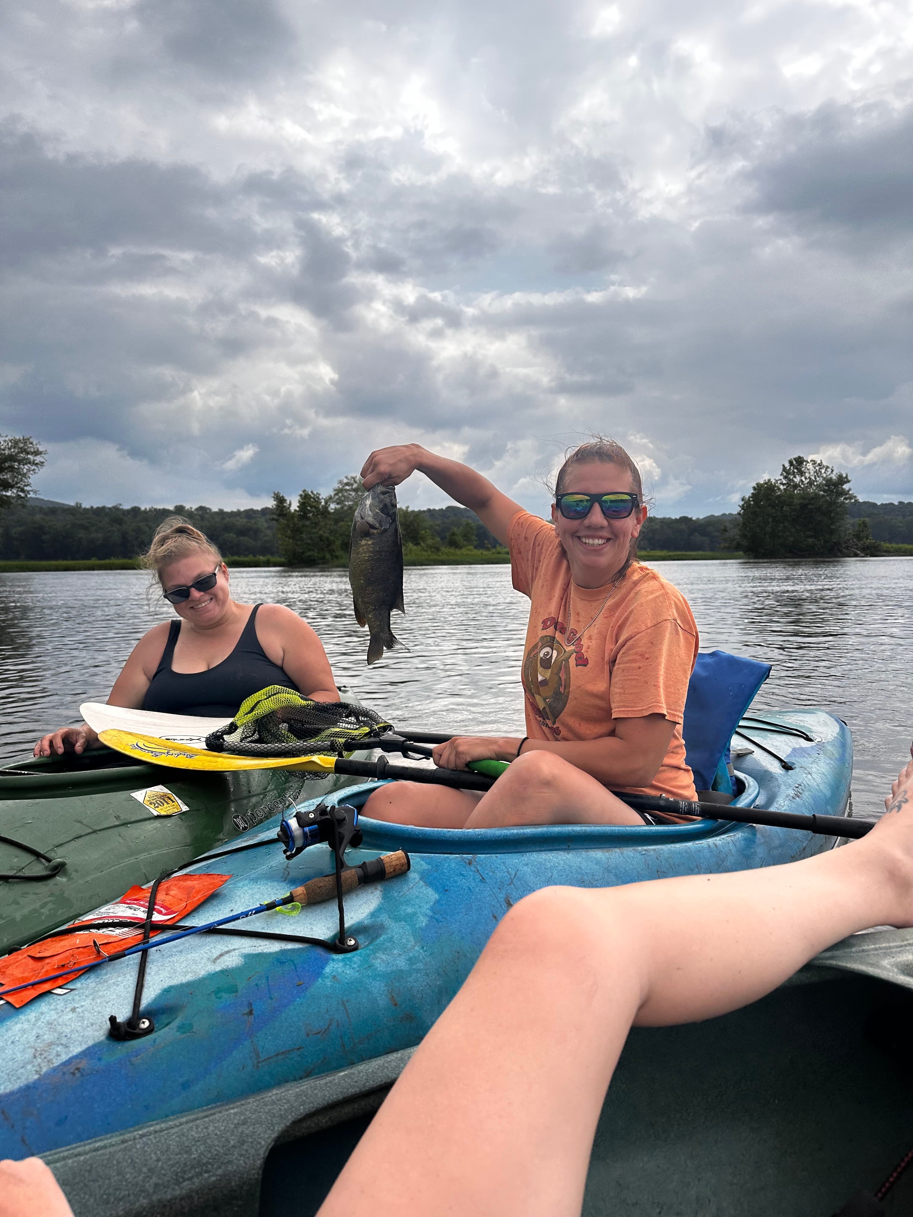
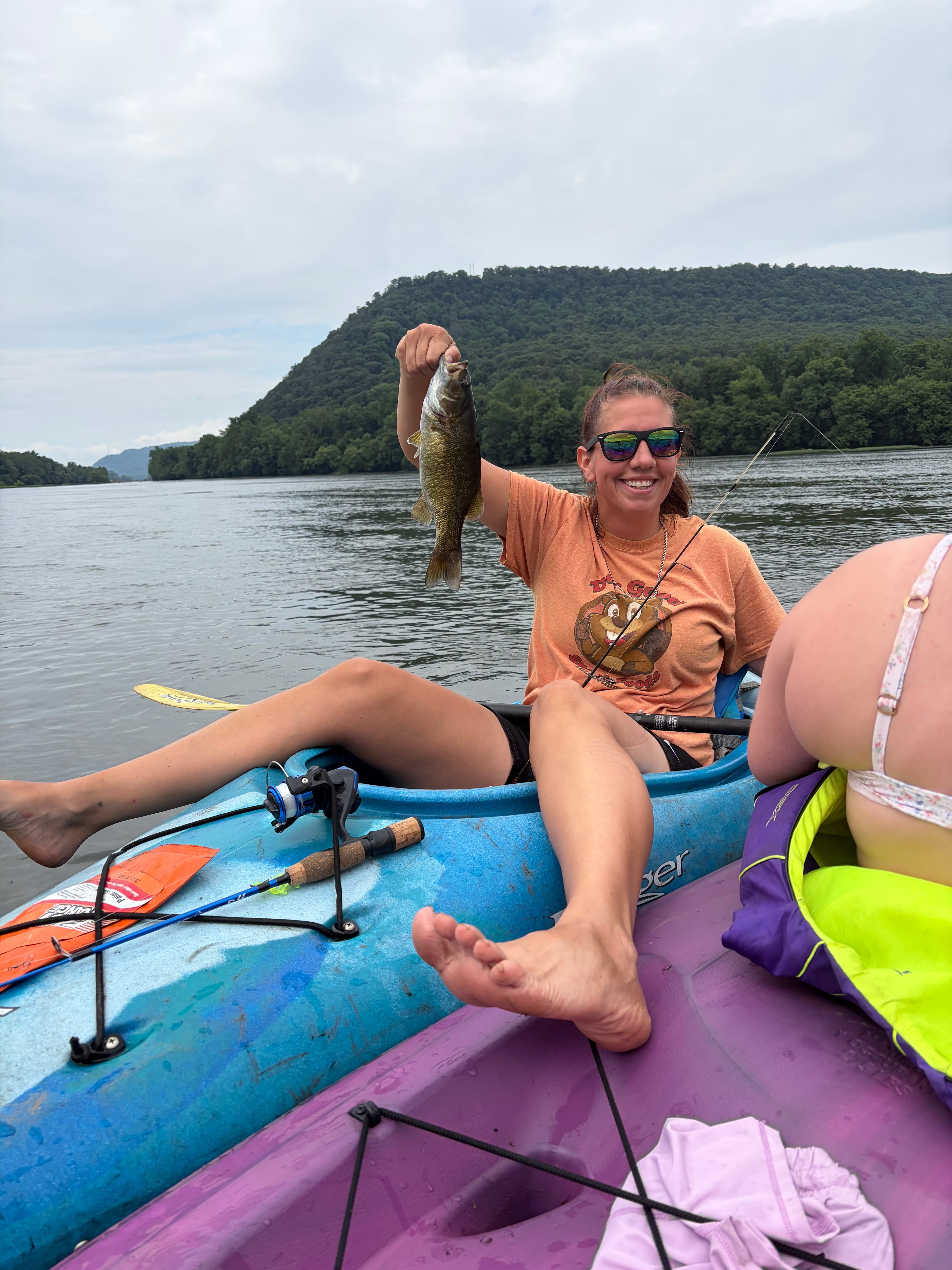
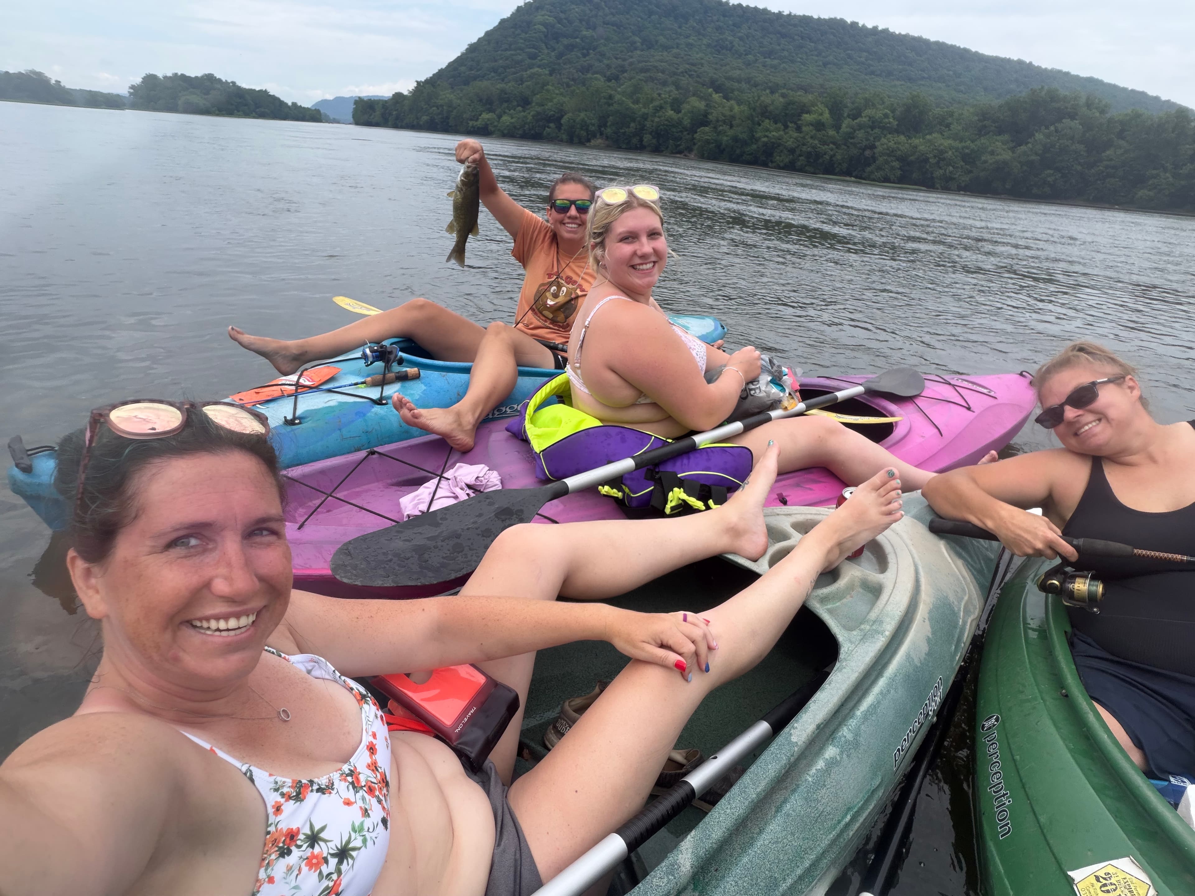
Mayo park to Camp
 +1
See exactly where the public can get on and off the river. Launch points and boat ramps are paired with PaddleWays' public land data so you know where you can legally land.
Public shoreline
7%of the river's shoreline is public
Most of the riverbank is private. Launch, land and camp only at public access points.
Flows, weather and a route-by-route verdict, so you know which stretch of the Wiconisco Creek is worth paddling today.
No forecast data available.
Live flows, marked hazards and fresh trip reports from paddlers who were just on the water, all in one place.





Every user gets free access to launch points, boat ramps, and public property parcels.

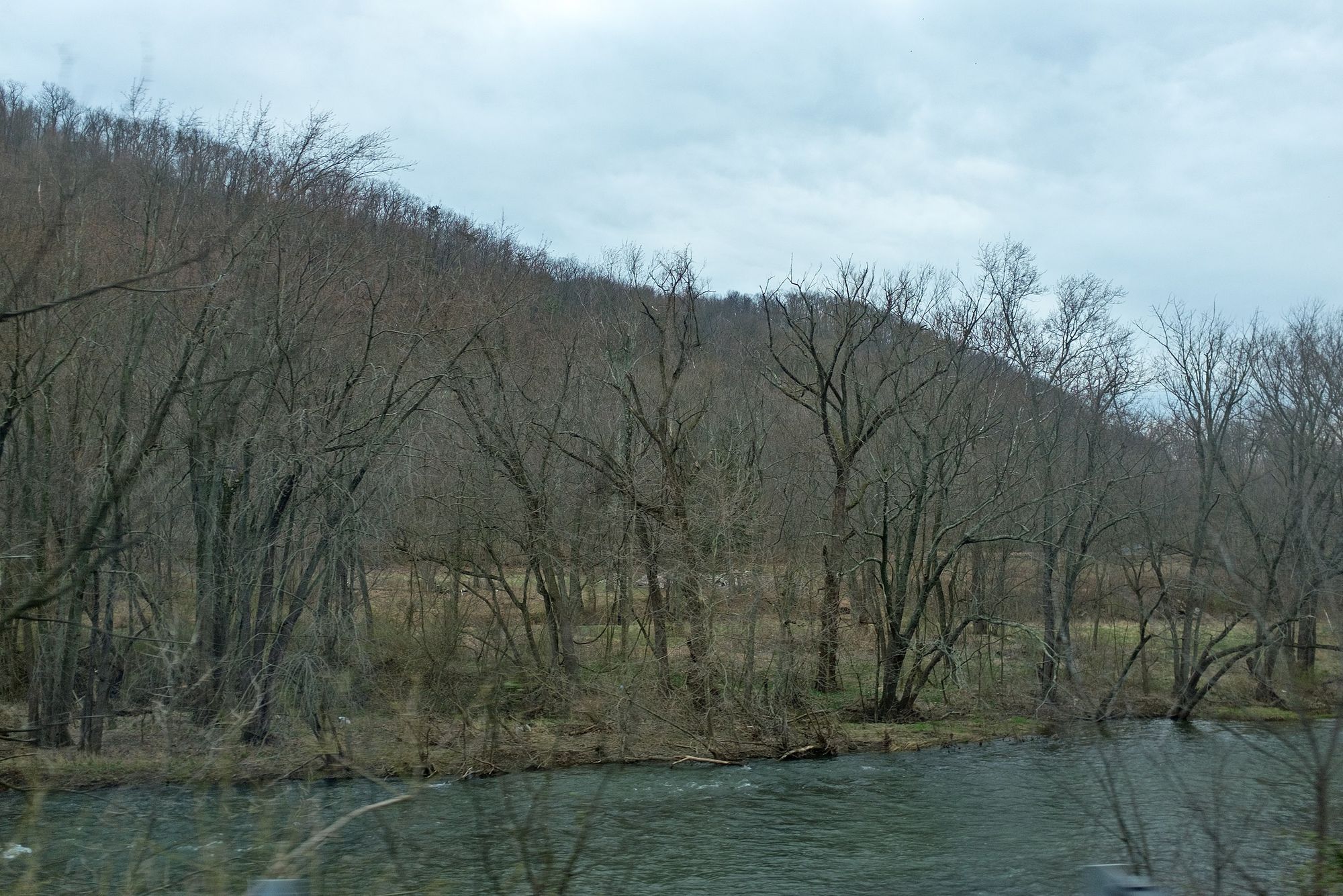
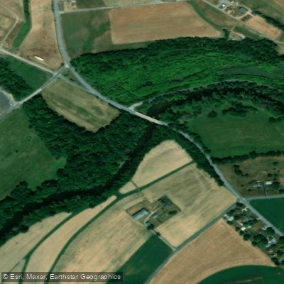
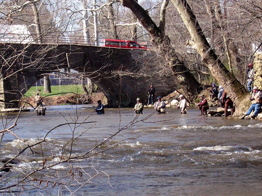
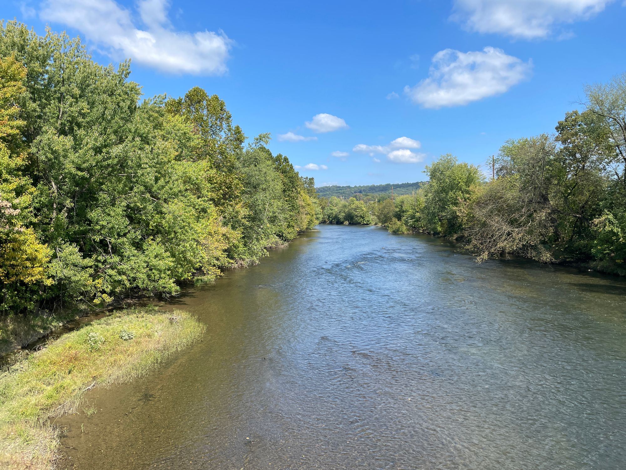

Loading popular cities...
PaddleWays gives you everything you need to plan smarter, paddle better, and own every trip from first launch to takeout.