Indian Lake
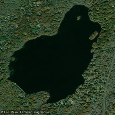
Indian Lake
- Boat Ramps
- 1
- Access Points
- 1
- Campsites
- 2
Indian Lake in South Kingstown, Rhode Island is a 260-acre freshwater lake with a mix of developed and natural shoreline. The lake features a concrete boat ramp that was rebuilt in spring/summer 2018, providing good access for paddlers. The ramp is located at the end of Indian Trail, accessed via Arrow Head Trail off Route 1.
A 10 horsepower limit is enforced on all motorized vessels, which helps maintain relatively calm waters suitable for paddling. The boat ramp has a gravel parking area with adequate space for vehicles. A low float or dock is available to assist with launching and landing.
To access the lake from Route 1 South, turn right onto Arrow Head Trail 1.4 miles south of the Route 138 junction. Follow Arrow Head Trail for 0.2 miles, then turn left onto Indian Trail. The boat ramp and parking area are 0.5 miles ahead at the end of Indian Trail, just past its junction with Woodland Trail.
The lake is part of the Saugatucket River watershed. In 2023, the Department of Environmental Management identified invasive Hydrilla verticillata in the lake - the first documented case in Rhode Island. While this aquatic plant does not directly impact paddling, boaters should thoroughly clean their vessels and equipment before and after use to prevent spreading this invasive species to other waterbodies.
The lake's moderate size and motor restrictions make it suitable for both novice and experienced paddlers. The mix of developed and natural shorelines provides varied scenery during paddles. The rebuilt boat ramp and parking facilities make this an accessible destination for day trips.
Water access, boat ramps & amenities
Learn how to get on Indian Lake. Uncover great paddling access points, boat ramps, and all the facilities you need for an unforgettable day on the water. Some locations shown may border or include private property. Always check property boundaries and applicable regulations before visiting. PaddleWays's Public & Private Land layer can help you plan your access with confidence.
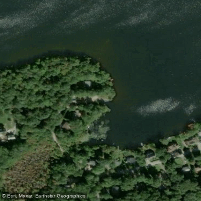
Paddle smarter with real-time insights
Whether you're en route and conditions shift or you're looking for the best spot based on current flows, we enable you to make informed decisions on the fly.








Find Places to Paddle

Over 400,000 Places to Paddle
Every user gets free access to launch points, boat ramps, and public property parcels.


Water and weather conditions (10 day forecast)
See the best times to paddle Indian Lake and check the forecast before you go.
No forecast data available.
Paddling near Indian Lake

Taunton River
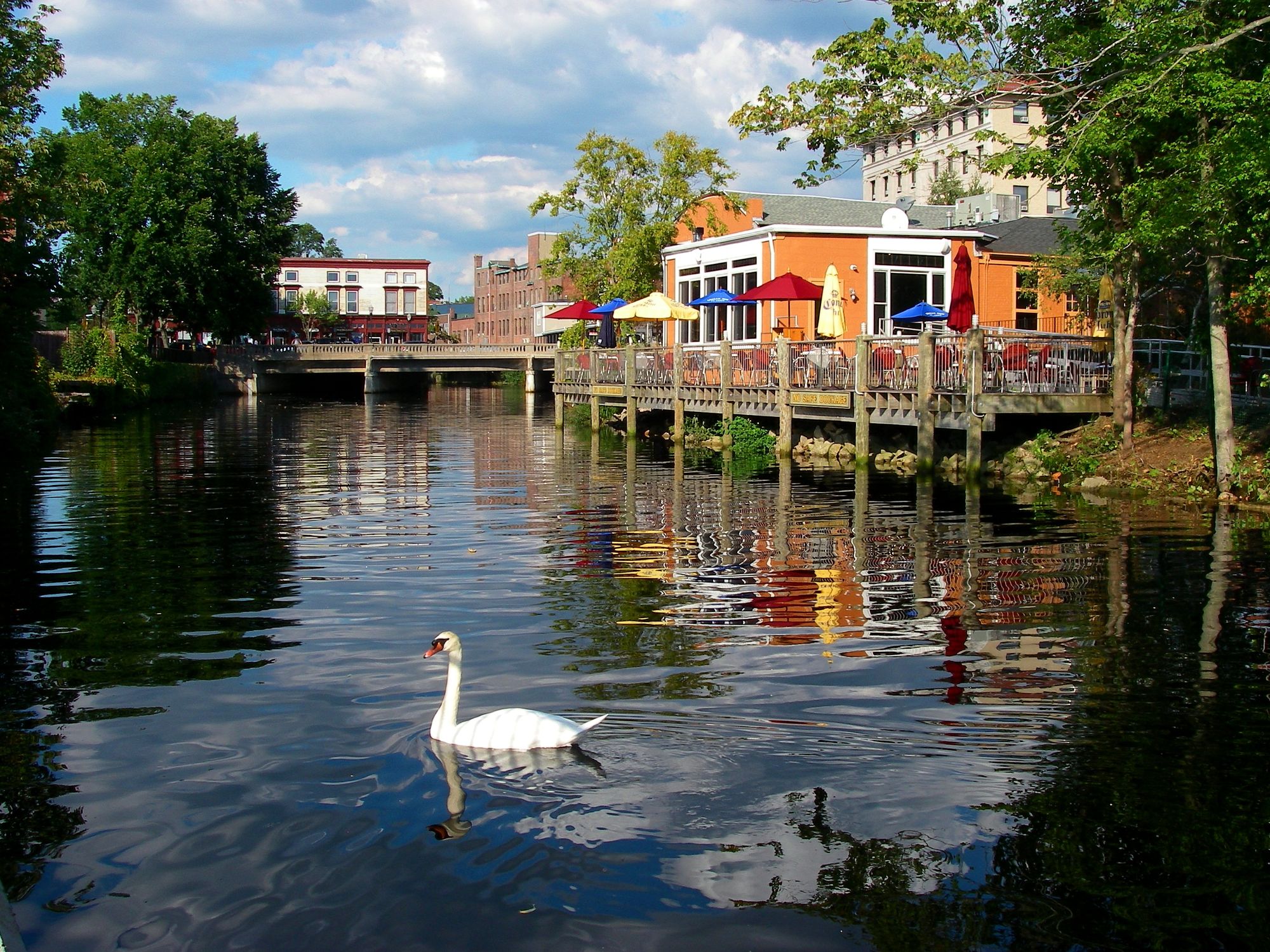
Pawcatuck River
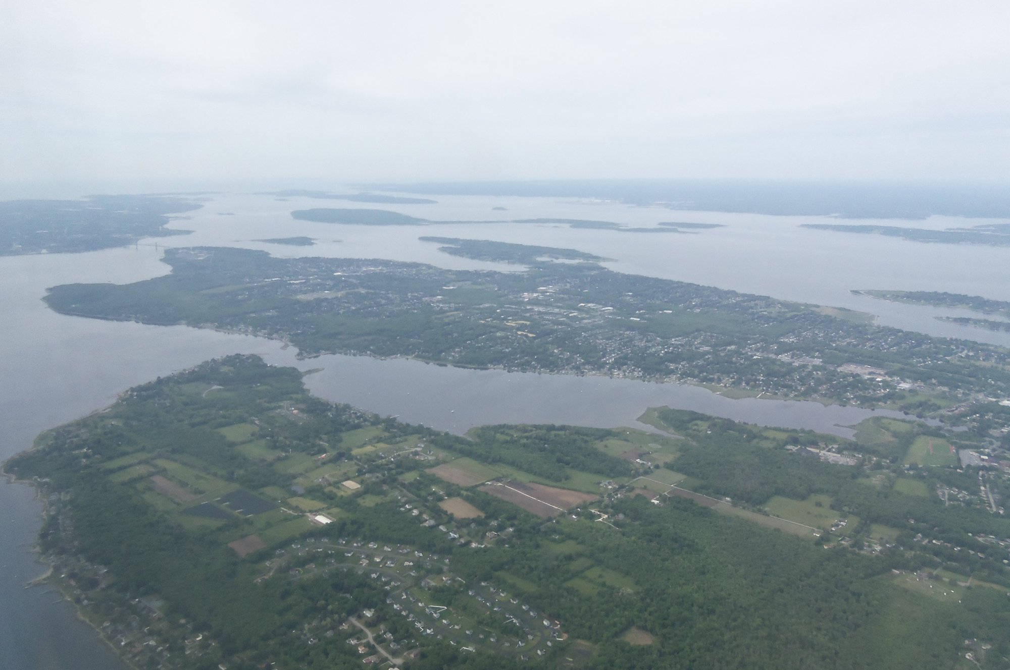
Narragansett Bay
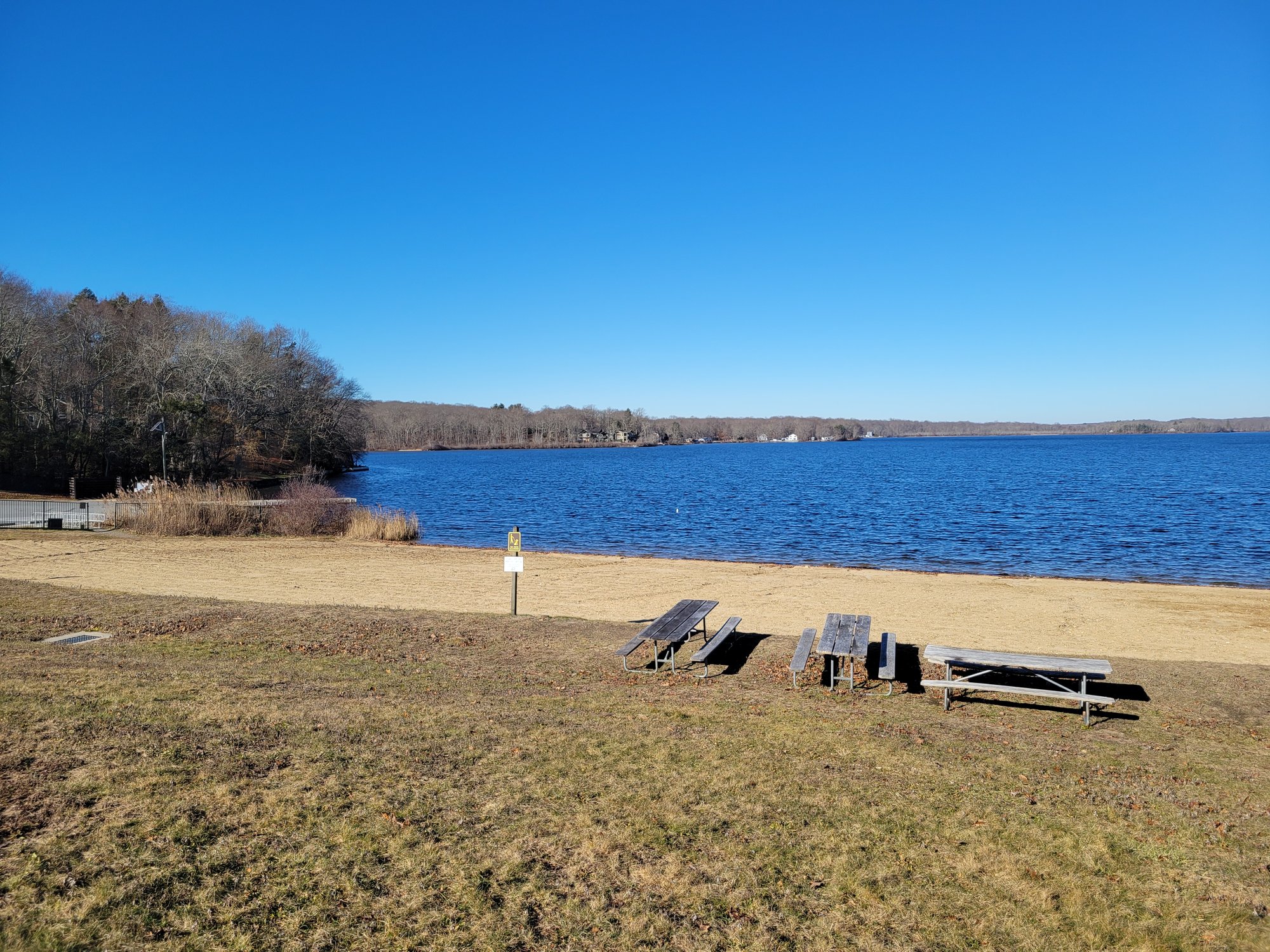
Gardner Lake

Charles River
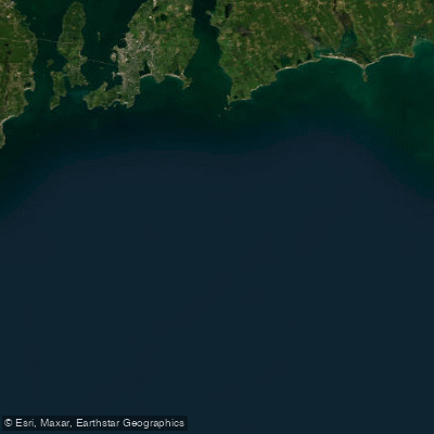
Rhode Island Sound
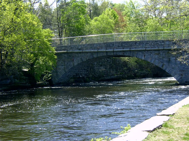
Willimantic River
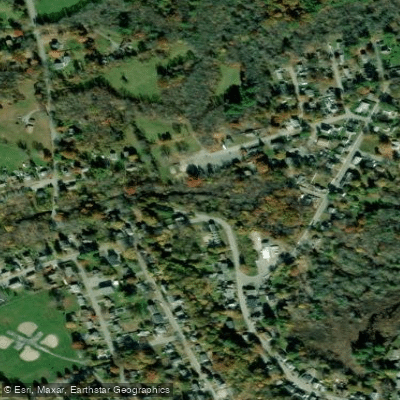
Clear River
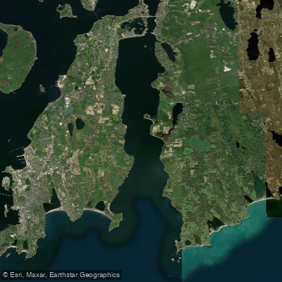
Sakonnet River
Explore Rhode Island waters
Top paddling waters
Popular Cities
Loading popular cities...
Explore near Indian Lake

Smarter Paddling Starts in the App.
Paddleways gives you everything you need to plan smarter, paddle better, and own every trip from first launch to takeout.