Charles River

Charles River
- Boat Ramps
- 18
- Access Points
- 60
- Campsites
- 1
The Charles River, winding its way through eastern Massachusetts, offers a paddling experience for enthusiasts of all skill levels. Stretching approximately 80 miles from its source in Hopkinton to its mouth in Boston Harbor, this iconic waterway passes through 23 cities and towns, providing a unique blend of natural beauty and urban landscapes.
The river is typically divided into two main sections: the Upper Charles and the Lower Charles. The Upper Charles, characterized by its more rural setting, offers a peaceful paddling experience through forested areas and wetlands. As you progress downstream, the river widens and the scenery gradually transitions to more suburban and urban environments.
Paddling opportunities on the Charles cater to a wide range of skill levels. The majority of the river consists of flatwater sections, making it ideal for beginners and families. However, there are a few areas with mild rapids, such as the Needham Rapids section, which offers Class I-III whitewater for more experienced paddlers. The river's difficulty ranges from calm flatwater to occasional Class III rapids, ensuring something for everyone.
One of the most popular stretches for paddlers is the Lakes District, a six-mile section of flatwater between Newton Lower Falls and the Moody Street Dam in Waltham. This area, largely bordered by parkland and forest, provides a serene escape from the bustling city nearby. Another highlight is the Boston/Cambridge section, offering stunning views of the city skylines and passing by notable landmarks such as the Massachusetts Institute of Technology (MIT) campus and the Longfellow Bridge.
The Charles River is generally paddleable year-round, but the most pleasant conditions are typically found from late spring through early fall. Water levels tend to be higher in spring, which can be ideal for running the few whitewater sections. Summer and early fall offer warmer temperatures and more stable water levels, perfect for leisurely flatwater paddling.
Wildlife enthusiasts will appreciate the diverse ecosystem along the Charles. Great blue herons, ospreys, and various waterfowl are common sights. The riverbanks are often adorned with colorful wildflowers, including purple loosestrife, white water lilies, and yellow irises. Turtles can frequently be spotted sunning themselves on logs or rocks.
Historical significance abounds along the Charles. The river played a crucial role in the early development of the region, powering mills and facilitating trade. One fascinating feature is the Long Ditch, a half-mile channel cut in 1653 by Dedham residents to alleviate flooding. This historic modification created the popular Dedham Loop paddling route.
Access points are plentiful along the Charles, with many towns offering public launch sites. Notable put-in locations include Medway, Needham, Wellesley, Newton, Waltham, and Cambridge. The river's proximity to Boston makes it a convenient escape for urban dwellers seeking a nature experience.
Safety is paramount when paddling the Charles. While much of the river is calm, paddlers should be aware of occasional low-head dams that require portaging. It's also important to be mindful of other river users, particularly in the busy Lower Basin near Boston. Always wear a personal flotation device and check water conditions before embarking on your journey.
For those seeking a multi-day adventure, it's possible to paddle significant portions of the Charles over several days. Popular multi-day trips often involve starting in the upper reaches near Medway and making your way downstream towards Boston, with numerous options for camping or lodging along the way.
The Charles River offers a unique paddling experience that combines natural beauty, historical significance, and urban charm. Whether you're seeking a peaceful day on the water or an extended journey through the heart of Massachusetts, the Charles has something to offer every paddler.
Water access, boat ramps & amenities
Learn how to get on Charles River. Uncover great paddling access points, boat ramps, and all the facilities you need for an unforgettable day on the water. Some locations shown may border or include private property. Always check property boundaries and applicable regulations before visiting. PaddleWays's Public & Private Land layer can help you plan your access with confidence.
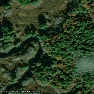
Shattuck Reservation Access
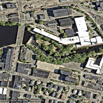
Richard Landry Park Access
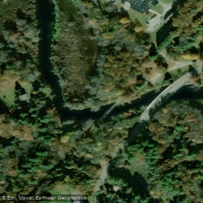
Natural Valley Storage Area Access
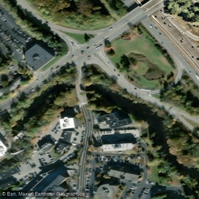
Benjamin Mills Park Access
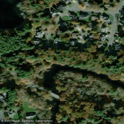
Charles River Park Access
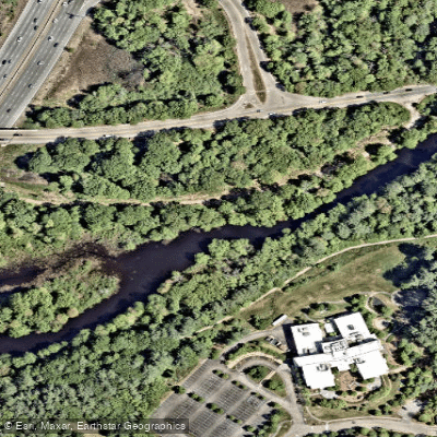
Charles River Reservation Access
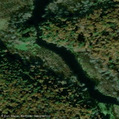
Rocky Narrows Access
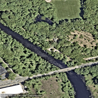
Nahanton Park Access
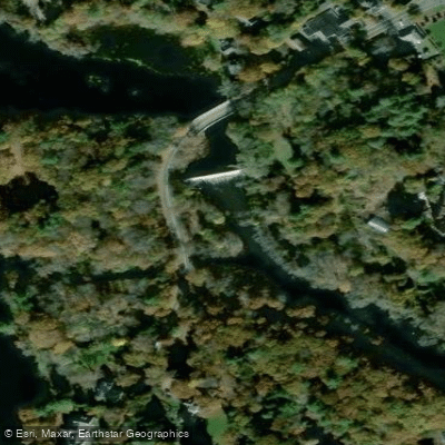
Cochrane Dam Access
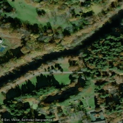
Elm Bank Reservation Access
Paddle smarter with real-time insights
Whether you're en route and conditions shift or you're looking for the best spot based on current flows, we enable you to make informed decisions on the fly.








Find Places to Paddle

Over 400,000 Places to Paddle
Every user gets free access to launch points, boat ramps, and public property parcels.


Water and weather conditions (10 day forecast)
See the best times to paddle Charles River and check the forecast before you go.
CHARLES RIVER AT MEDWAY, MA
All Flow Stations
Paddling near Charles River

Wachusett Reservoir

Sudbury River

Massachusetts Bay

Concord River

Assabet River

Broad Sound

Merrimack River
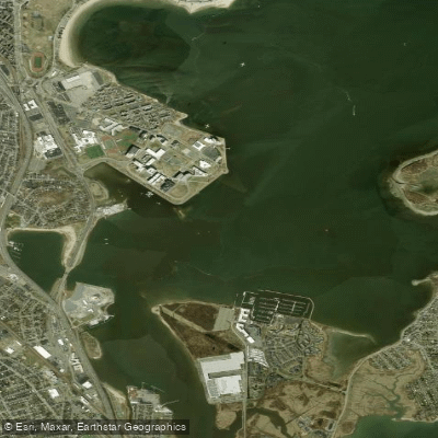
Dorchester Bay
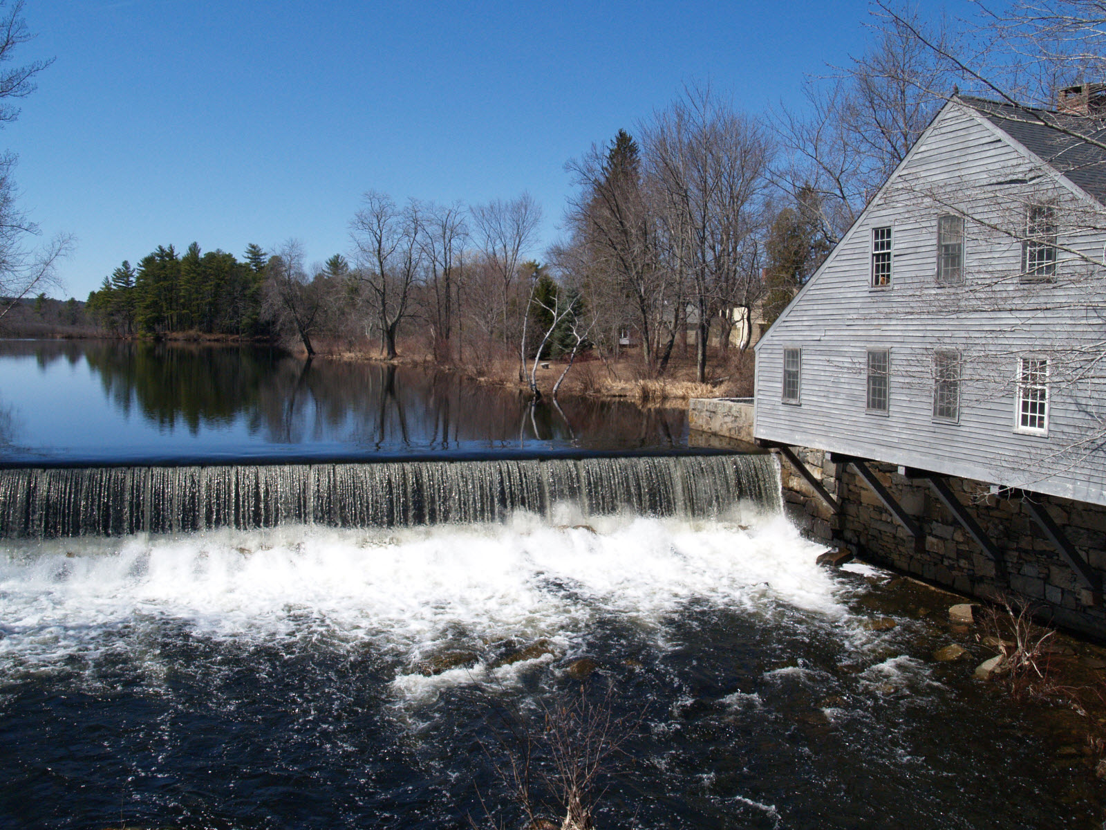
Squannacook River
Explore Massachusetts waters
Top paddling waters
Popular Cities
Loading popular cities...
Explore near Charles River
Access points
- Nahanton Park Boat Ramp
- Charles River-Medway Boat Ramp
- Needham Street Boat Ramp
- Charles River-Millis Boat Ramp
- Newton Boathouse Boat Ramp
- Elm Bank Reservation Boat Ramp
- Peters Reservation Boat Ramp
- Riverside Park Boat Ramp
- Red Wing Bay Boat Ramp
- Riverdale Park Boat Ramp
- Rocky Narrows Boat Ramp
- California Street Boat Ramp
- All 188 spots
Nearby waters
More in Massachusetts

Smarter Paddling Starts in the App.
Paddleways gives you everything you need to plan smarter, paddle better, and own every trip from first launch to takeout.