Sakonnet River
- Saltwater
- Tidal river
Sakonnet River
- Saltwater
- Tidal river
- Sq. miles
- 20
- Boat Ramps
- 4
- Access Points
- 3
- Campsites
- 1
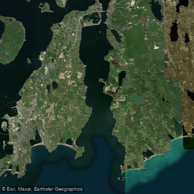
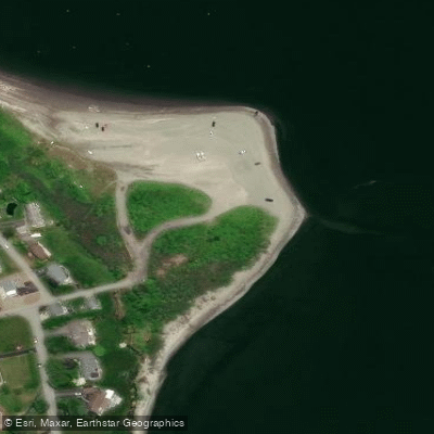
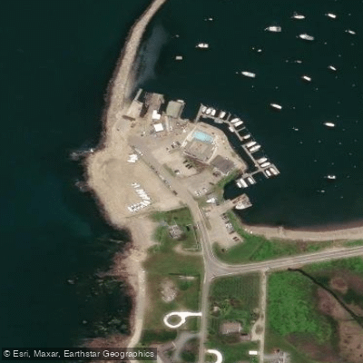
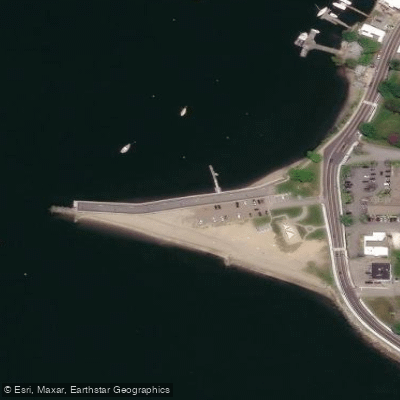
The Sakonnet River is a tidal strait in the western portion of Narragansett Bay, not a true river. Its character varies significantly along its length, from narrow, fast-moving channels to broad, open waters exposed to Rhode Island Sound. For paddlers, choosing an appropriate launch site is critical for a safe and enjoyable trip. Several public access points exist, including the Sakonnet Harbor boat ramp in Little Compton, the Gull Cove State Boat Ramp and Stone Bridge Boat Ramp in Portsmouth providing access to The Cove, and Fogland Beach Conservation Area. Colt State Park in Bristol offers another launch, but its shoreline is rocky and exposed to large fetch from the west and south, with significant powerboat traffic and a major shipping channel nearby.
Tidal currents are a primary safety consideration. In constricted areas like the narrows near the Old Stone Bridge, currents run at a strong pace, with maximum flow capable of laying large channel marker buoys flat. This area is used by experienced sea kayakers for rough-water practice but is considered dangerous for inexperienced paddlers. Paddling with an outgoing tide combined with southerly winds can create very rough conditions, particularly at the river's mouth. The typical weather pattern involves a southwest wind that develops most mornings and blows briskly through the afternoon, producing significant waves on the open river and Mount Hope Bay. Once outside the small Sakonnet Harbor, paddlers are on the open waters of Rhode Island Sound, where large ocean swells can also affect the area. Heavy boat traffic is present, especially in the main channel.
The paddling experience ranges from sheltered exploration to exposed coastal travel. The Cove in Portsmouth is a large tidal estuary with many shallow coves and channels under four feet deep at low tide, suitable for exploration. Heading south from Sakonnet Harbor, paddlers can reach West Island and the Sakonnet Point Lighthouse, though this involves navigating around rocky ledges exposed to ocean swells and is only for experienced kayakers. The shoreline features a mix of sandy beaches, rocky headlands, and pristine areas, including the largest eel grass bed in Rhode Island. Wildlife includes ospreys, harbor seals, and a seagull rookery on West Island. Given the variable conditions, consulting local resources like the Rhode Island Canoe and Kayak Association (RICKA) or paddling with someone familiar with the waterway is strongly advised.
Water access, boat ramps & amenities
Learn how to get on Sakonnet River. Uncover great paddling access points, boat ramps, and all the facilities you need for an unforgettable day on the water. Some locations shown may border or include private property. Always check property boundaries and applicable regulations before visiting. PaddleWays's Public & Private Land layer can help you plan your access with confidence.
Paddle smarter with real-time insights
Whether you're en route and conditions shift or you're looking for the best spot based on current flows, we enable you to make informed decisions on the fly.








Find Places to Paddle

Over 400,000 Places to Paddle
Every user gets free access to launch points, boat ramps, and public property parcels.


Tides, wind & water conditions (10 day forecast)
On open water, wind and tide matter as much as the weather. See the best times to paddle Sakonnet River and check the marine forecast before you launch.
Loading tide predictions…
Paddling near Sakonnet River

Taunton River
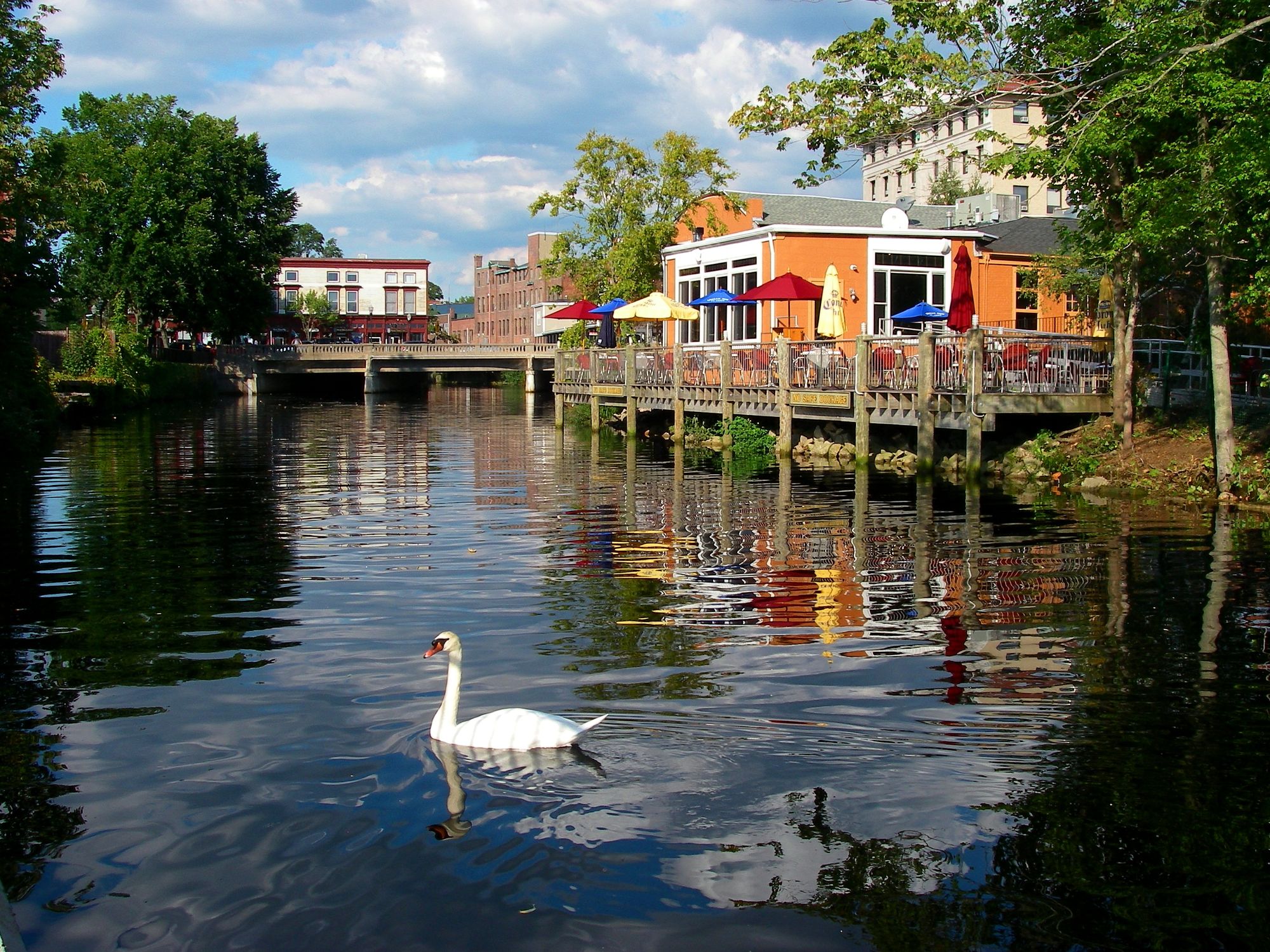
Pawcatuck River
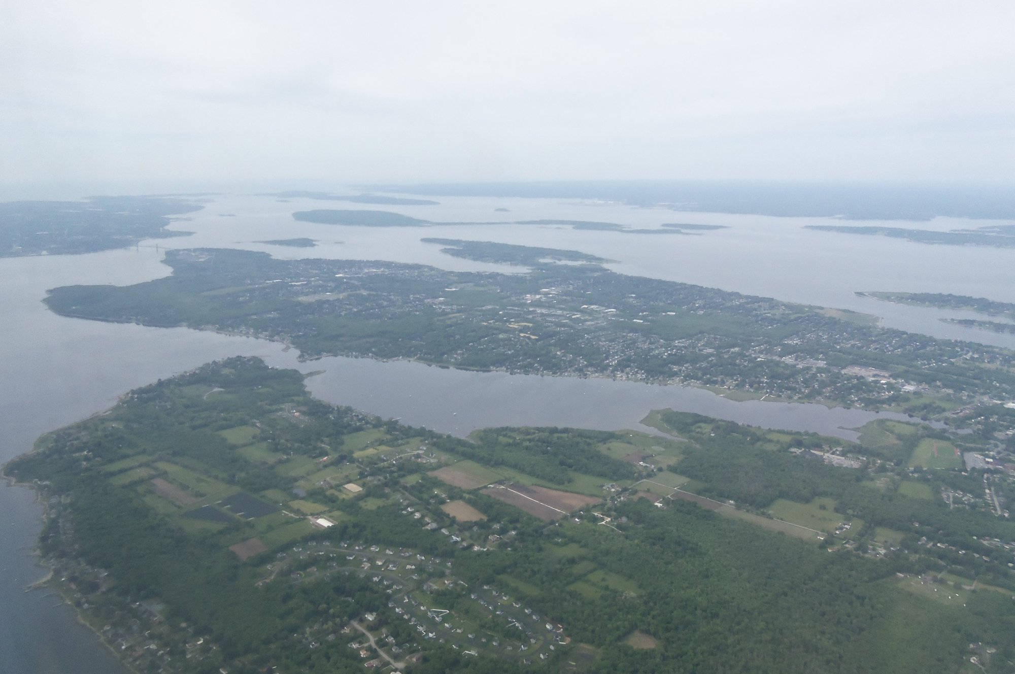
Narragansett Bay
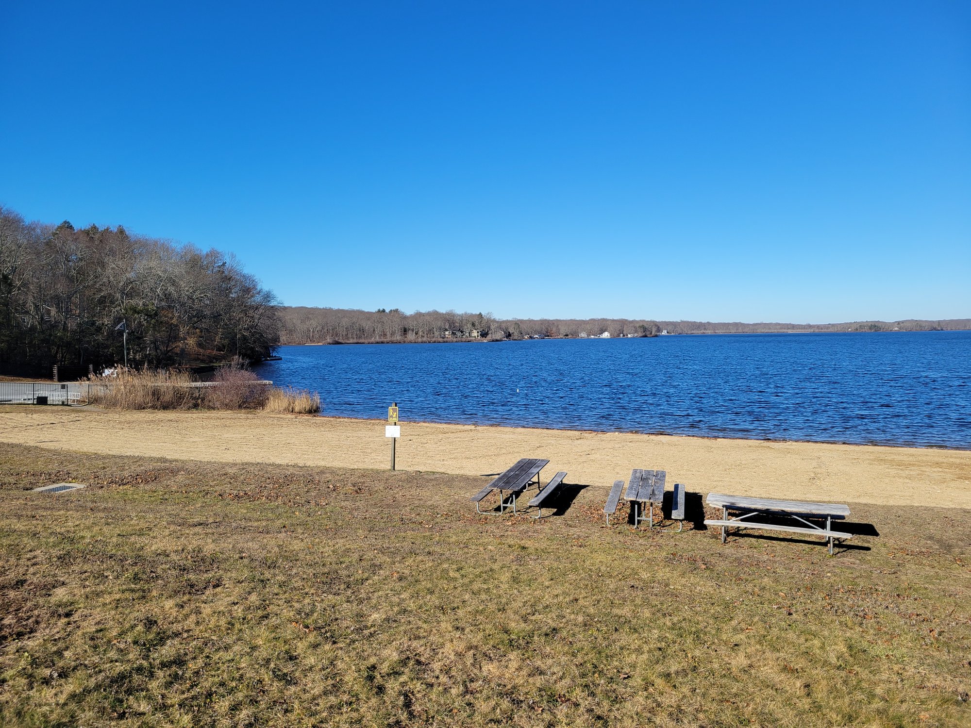
Gardner Lake

Charles River
Rhode Island Sound
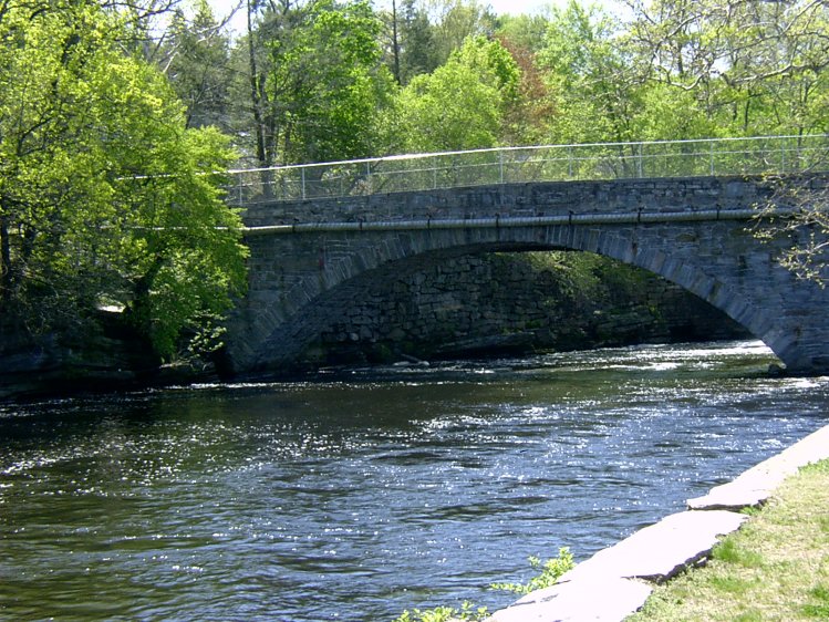
Willimantic River
Clear River
Indian Lake
Explore Rhode Island waters
Top paddling waters
Popular Cities
Loading popular cities...
Explore near Sakonnet River
Access points
Nearby waters
More in Rhode Island

Smarter Paddling Starts in the App.
Paddleways gives you everything you need to plan smarter, paddle better, and own every trip from first launch to takeout.