Taunton River

Taunton River
- Boat Ramps
- 7
- Access Points
- 11
- Campsites
- 2
The Taunton River, located in southeastern Massachusetts, is a remarkable waterway that offers paddlers a experience. As the longest undammed coastal river in New England, it flows for approximately 40 miles from its headwaters to Mount Hope Bay, passing through a variety of landscapes and ecosystems.
The river is primarily characterized by its flatwater nature, making it an excellent choice for paddlers of all skill levels. Most sections are rated as Class I or flatwater, with occasional mild rapids under some bridges. This gentle current allows for easy upstream and downstream travel, making out-and-back trips a popular option.
Paddling opportunities on the Taunton River are plentiful and varied. The upper sections, such as from Halifax to Middleboro, offer a more intimate paddling experience through narrower, tree-lined channels. As the river widens downstream, paddlers can enjoy expansive views and tidal influences. Popular sections include the stretch from Middleboro to Raynham, and from Raynham to Taunton, each offering unique scenery and points of interest.
The river's ecosystem is rich and diverse, supporting a wide array of wildlife. Paddlers can expect to see abundant turtles sunning themselves on rocks, various waterfowl, and even witness the annual herring migration in certain areas. The surrounding landscape includes marshlands, forested banks, and open water sections as the river widens towards its mouth.
Several towns along the Taunton River provide convenient access points for paddlers. Notable put-in and take-out locations include Oliver Mill Park in Middleborough, the Summer Street Bridge in Bridgewater, and the Weir Village Riverfront Park in Taunton. These access points allow for trips of varying lengths, from short afternoon paddles to multi-day adventures.
The Taunton River holds significant historical and cultural importance. It has been designated as a Wild and Scenic River by the National Park Service and U.S. Congress, recognizing its outstanding natural, cultural, and recreational values. The river played a crucial role in the region's early industrial development and continues to be an important natural resource for surrounding communities.
For those interested in multi-day trips, the Wild & Scenic River Run is a popular option. This two-day paddling adventure typically starts at Oliver Mill Park in Middleborough and ends at Weir Riverfront Park in Taunton, with an overnight stay at Camp Titicut in Bridgewater, a historic Native American campsite.
When planning a trip on the Taunton River, it's important to consider tidal influences, especially in the lower sections. Paddling on a receding tide can make for an easier journey. The river is generally paddleable from spring through fall, with summer offering the most reliable water levels and pleasant weather conditions.
Safety considerations include being aware of bridge abutments, occasional submerged obstacles, and changing weather conditions. As always, wearing a personal flotation device is essential. Paddlers should also be mindful of motorized boat traffic, particularly in wider sections of the river.
Whether you're looking for a short, relaxing paddle or a multi-day adventure, the Taunton River offers a paddling experience that combines natural beauty, historical significance, and accessibility. Its gentle nature and diverse scenery make it a true gem among New England's rivers, inviting exploration and appreciation from paddlers of all backgrounds.
Water access, boat ramps & amenities
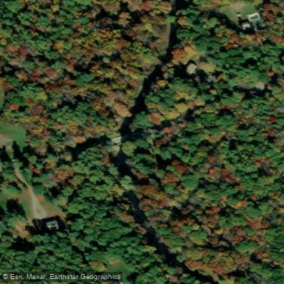
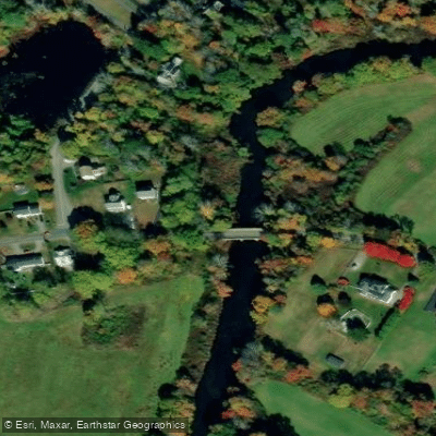
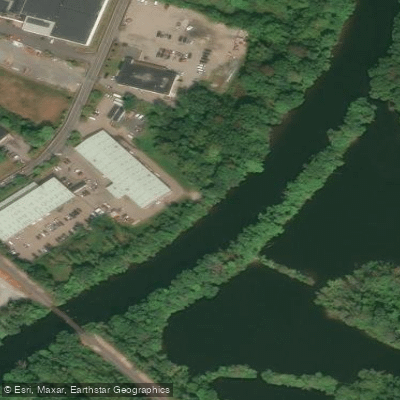
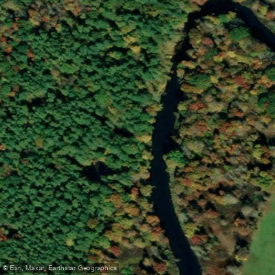
Learn how to get on Taunton River. Uncover great paddling access points, boat ramps, and all the facilities you need for an unforgettable day on the water. Some locations shown may border or include private property. Always check property boundaries and applicable regulations before visiting. PaddleWays's Public & Private Land layer can help you plan your access with confidence.
Paddle smarter with real-time insights
Whether you're en route and conditions shift or you're looking for the best spot based on current flows, we enable you to make informed decisions on the fly.








Find Places to Paddle

Over 400,000 Places to Paddle
Every user gets free access to launch points, boat ramps, and public property parcels.


Water and weather conditions (10 day forecast)
See the best times to paddle Taunton River and check the forecast before you go.
TAUNTON RIVER NEAR BRIDGEWATER, MA
Paddling near Taunton River

Charles River
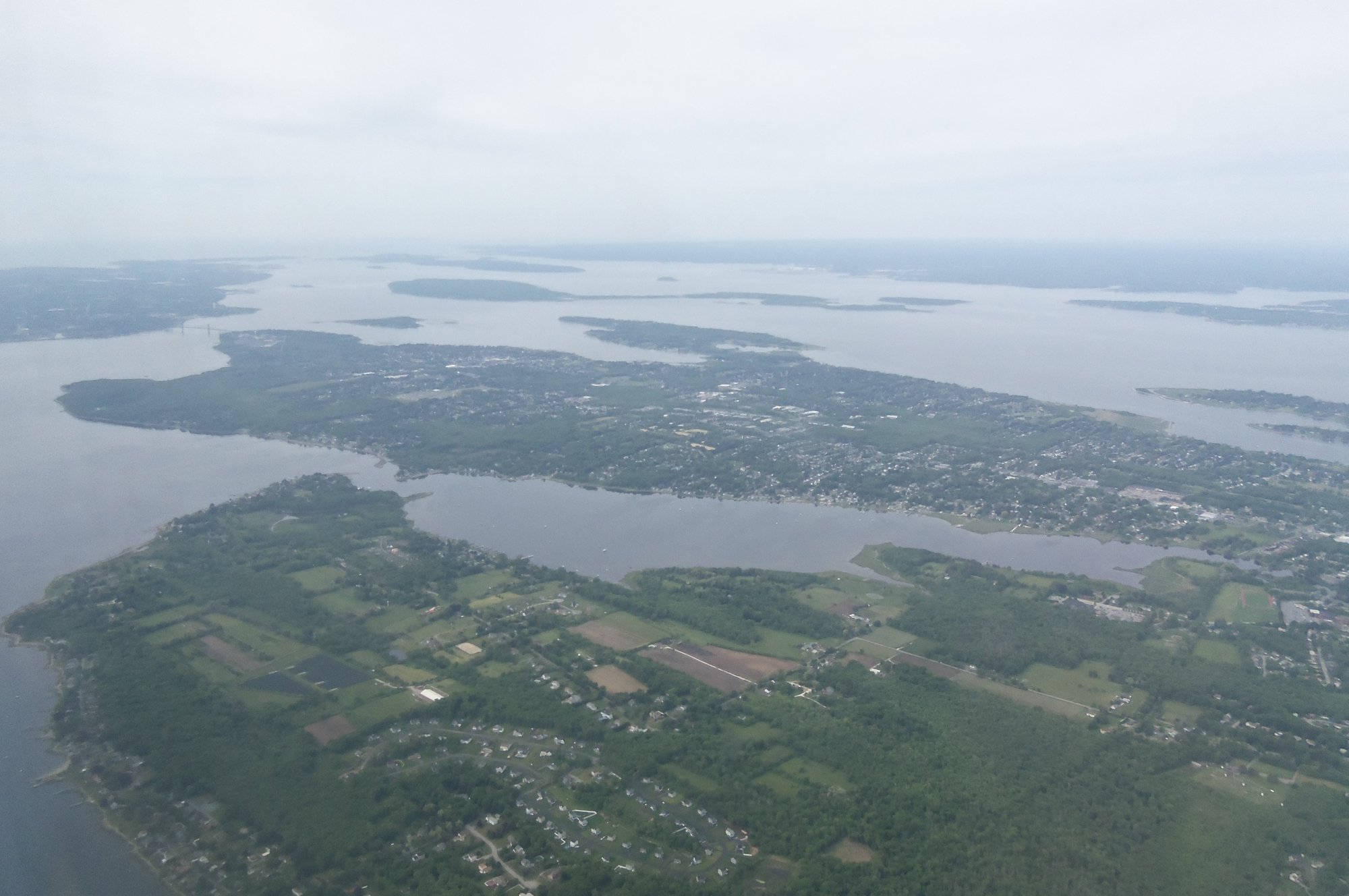
Narragansett Bay

Wachusett Reservoir

Sudbury River
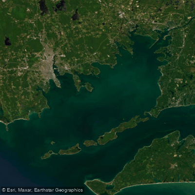
Buzzards Bay

Concord River

Assabet River
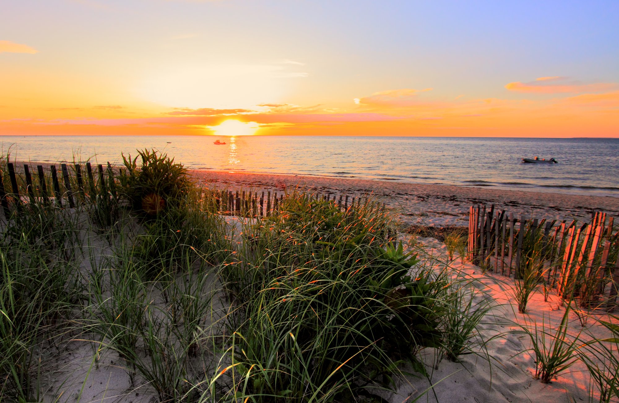
Cape Cod Bay
Clear River
Explore Massachusetts waters
Top paddling waters
Popular Cities
Loading popular cities...
Explore near Taunton River
Access points
- South Street East Bridge Boat Ramp
- Cherry Street Boat Ramp
- Weir Village Riverfront Park Boat Ramp
- Summer Street Bridge Boat Ramp
- MCI - Titicut Street Bridge Boat Ramp
- Camp Titicut Boat Ramp
- Berkley Bridge Village Heritage Park Boat Ramp
- Cherry Street Bridge Access
- South Street Bridge Access
- Ingell Street Access
- Camp Titicut Fishing Access
- Water Taunton River Bridge
- All 93 spots
Nearby waters
More in Massachusetts

Smarter Paddling Starts in the App.
Paddleways gives you everything you need to plan smarter, paddle better, and own every trip from first launch to takeout.