Pawcatuck River
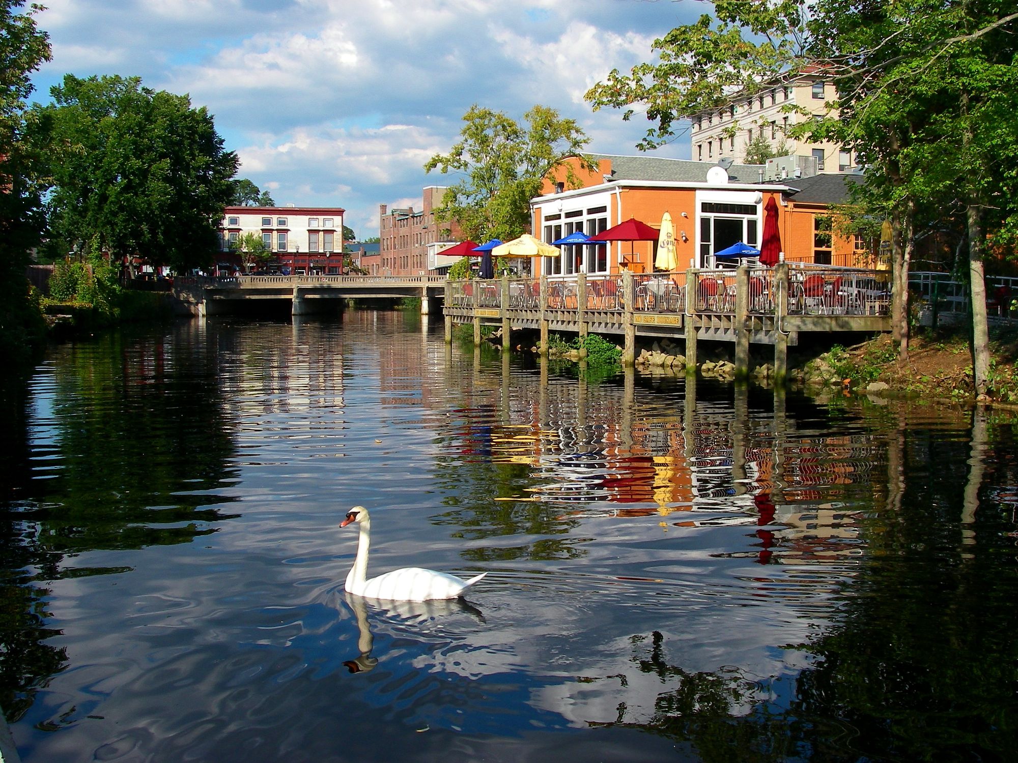
Pawcatuck River
- Boat Ramps
- 6
- Access Points
- 7
- Campsites
- 7
The Pawcatuck River is a scenic waterway located in southern Rhode Island, forming part of the border between Rhode Island and Connecticut. This diverse river system offers paddlers a range of experiences, from serene flatwater sections to more challenging rapids, making it a popular destination for canoeists and kayakers of various skill levels.
The river's journey begins at the outflow of Worden Pond, winding its way through rural and wooded landscapes before eventually emptying into Little Narragansett Bay. Along its course, the Pawcatuck passes through several charming New England towns, including Hopkinton, Richmond, Charlestown, and Westerly.
Paddling opportunities on the Pawcatuck are plentiful and varied. The Upper Pawcatuck, also known as the Upper Wood River, offers one of the most impressive natural experiences in Rhode Island. This 24-mile stretch from Route 165 to the Wood-Pawcatuck Watershed Association (WPWA) Campus features Class II-III rapids, providing an exciting run for intermediate to advanced paddlers.
For those seeking a more relaxed experience, the middle sections of the river offer mostly flatwater paddling with occasional mild rapids. Popular routes include the 7.5-8 mile stretch from Taylor's Landing to Biscuit City Landing, and the 7.5 mile section from Bradford to Potter Hill Dam. These sections are characterized by their sinuous nature, passing through a mix of forested wetlands, open marshlands, and scenic rural areas.
The lower sections of the Pawcatuck, particularly from Potter Hill to Westerly, provide a pleasant 7-mile paddle suitable for most skill levels. This stretch includes some mild rapids and passes under several historic bridges before reaching the take-out at the Westerly Municipal Boat Ramp.
The best time to paddle the Pawcatuck is typically from late spring through early fall when water levels are most favorable. However, it's important to check current conditions, as seasonal variations can affect water levels and flow rates. Spring paddling may offer higher water levels but can also bring colder temperatures and faster currents.
The river corridor is home to a diverse array of wildlife. Paddlers may encounter various fish species, including trout, as the Pawcatuck is known for its excellent fishing opportunities. Birdwatchers will appreciate the chance to spot herons, ospreys, and other waterfowl along the river's banks.
Several notable landmarks punctuate the Pawcatuck's course. The old broken dam at Burdickville offers paddlers a choice to portage or run it on the right side for a bit of excitement. The Potter Hill Dam, a 10-foot high structure, serves as an important marker and should never be attempted due to its dangerous nature.
Access points are numerous along the river, with popular put-ins and take-outs at Bradford Landing, Biscuit City Landing, and the Westerly Municipal Boat Ramp. These access points often feature parking areas and sometimes amenities like picnic facilities.
The Pawcatuck River holds significant historical and cultural importance to the region. It played a crucial role in the area's industrial development, powering mills and factories in the 19th century. Today, the river is part of the Wood-Pawcatuck Wild and Scenic Rivers system, a designation that recognizes its outstanding natural, cultural, and recreational values.
Safety considerations are paramount when paddling the Pawcatuck. Wearing a personal flotation device is essential, and paddlers should be aware of potential hazards such as low-head dams, strainers, and changing water conditions. It's advisable to paddle with a partner and inform someone of your trip plans.
For those interested in multi-day adventures, the Pawcatuck offers excellent opportunities. The full length of the river can be paddled in sections, with several riverside campsites available for overnight stays. The Lower Pawcatuck River Quad-Town Trail, spanning approximately 20 miles from Hopkinton to Little Narragansett Bay, is a popular multi-day option that showcases the river's diversity and scenic beauty.
Whether you're seeking a peaceful day trip or an extended paddling adventure, the Pawcatuck River offers a rich and rewarding experience for outdoor enthusiasts, combining natural beauty, historical significance, and diverse paddling opportunities in the heart of southern New England.
Water access, boat ramps & amenities
Learn how to get on Pawcatuck River. Uncover great paddling access points, boat ramps, and all the facilities you need for an unforgettable day on the water. Some locations shown may border or include private property. Always check property boundaries and applicable regulations before visiting. PaddleWays's Public & Private Land layer can help you plan your access with confidence.
10 Railroad Street Access
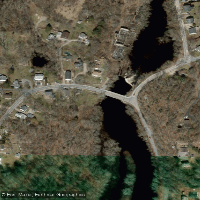
Potter Hill Road Access
Paddle smarter with real-time insights
Whether you're en route and conditions shift or you're looking for the best spot based on current flows, we enable you to make informed decisions on the fly.








Find Places to Paddle

Over 400,000 Places to Paddle
Every user gets free access to launch points, boat ramps, and public property parcels.


Water and weather conditions (10 day forecast)
See the best times to paddle Pawcatuck River and check the forecast before you go.
PAWCATUCK RIVER AT KENYON, RI
All Flow Stations
Paddling near Pawcatuck River

Connecticut River
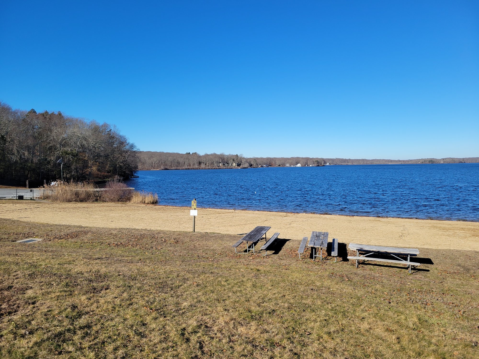
Gardner Lake
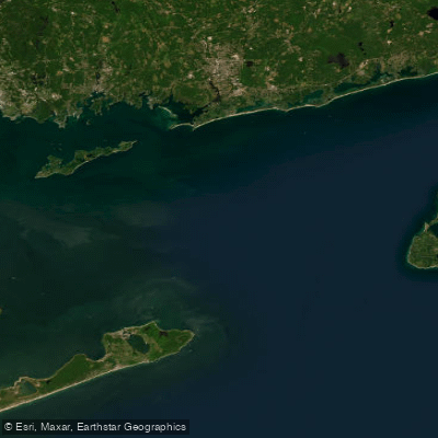
Block Island Sound
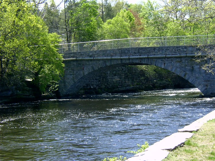
Willimantic River
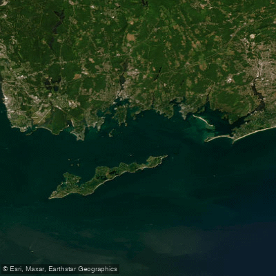
Fishers Island Sound
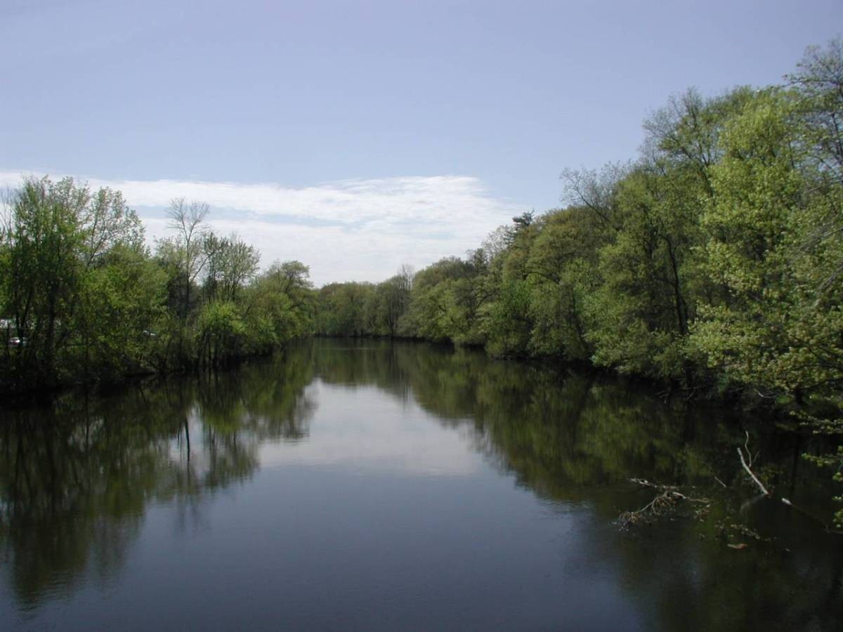
Farmington River
Peconic River
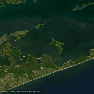
Gardiners Bay
Explore Connecticut waters
Top paddling waters
Popular Cities
Loading popular cities...
Explore near Pawcatuck River
Access points
Nearby waters
More in Connecticut

Smarter Paddling Starts in the App.
Paddleways gives you everything you need to plan smarter, paddle better, and own every trip from first launch to takeout.