Beaver Creek
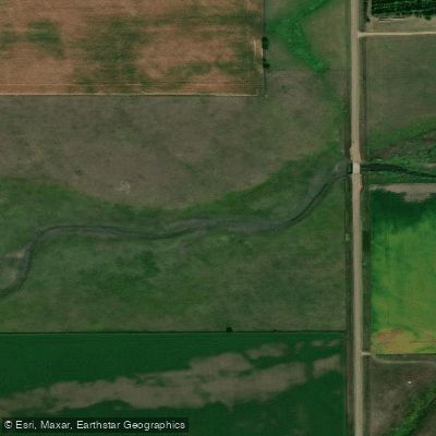
Beaver Creek
- Boat Ramps
- 1
- Access Points
- 1
- Campsites
- 0
Based on the available documentation, Beaver Creek in Yankton County, South Dakota, appears as a waterway suitable for recreational paddling, though detailed geographic and hydrological information is limited in the provided sources. The creek is referenced in kayaking resources as "Beaver Creek Near Yankton," indicating it flows through or near the Yankton area in southeastern South Dakota.
The creek is accessible to paddlers from several communities within reasonable driving distance. Mission Hill, Yankton, Utica, Volin, and Aten are all within 50 miles of documented access points, making this waterway convenient for local and regional paddlers. The proximity to Yankton, the county seat and largest community in the area, provides paddlers with nearby amenities and services.
Kayaking reports indicate that Beaver Creek experiences typical seasonal variations affecting water conditions. Paddlers should expect fluctuating water levels depending on precipitation patterns and snowmelt, though specific flow data was not available in the documentation. Temperature conditions in the region show significant seasonal variation, with winter temperatures dropping well below freezing and summer conditions reaching into the 40s Fahrenheit during the paddling season.
The surrounding landscape of Yankton County features agricultural lands interspersed with natural areas. The James River, which Beaver Creek feeds into as a tributary, represents a major drainage system in the region. This connection places Beaver Creek within the broader watershed that characterizes southeastern South Dakota's river systems.
Safety considerations for paddling Beaver Creek include adherence to South Dakota water safety regulations, which mandate proper safety equipment regardless of swimming ability. The South Dakota Department of Game, Fish and Parks provides comprehensive safety guidelines for paddlers on state waterways. Wind conditions can be significant in this region, with reports indicating speeds exceeding 25 mph, which paddlers should factor into trip planning.
Access to current water condition data for Beaver Creek appears limited, as kayaking reports note that real-time flow and water quality information may not always be available for this particular waterway. Paddlers planning trips should prepare for variable conditions and consider contacting local sources for current information.
The creek's role as a James River tributary connects it to one of South Dakota's major river systems, though specific details about the confluence location, creek length, or notable features along its course were not documented in available sources.
Water access, boat ramps & amenities
Learn how to get on Beaver Creek. Uncover great paddling access points, boat ramps, and all the facilities you need for an unforgettable day on the water. Some locations shown may border or include private property. Always check property boundaries and applicable regulations before visiting. PaddleWays's Public & Private Land layer can help you plan your access with confidence.
Paddle smarter with real-time insights
Whether you're en route and conditions shift or you're looking for the best spot based on current flows, we enable you to make informed decisions on the fly.








Find Places to Paddle

Over 400,000 Places to Paddle
Every user gets free access to launch points, boat ramps, and public property parcels.


Water and weather conditions (10 day forecast)
See the best times to paddle Beaver Creek and check the forecast before you go.
No forecast data available.
Paddling near Beaver Creek

Missouri River
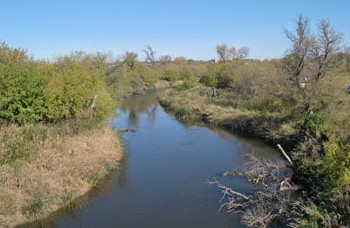
James River
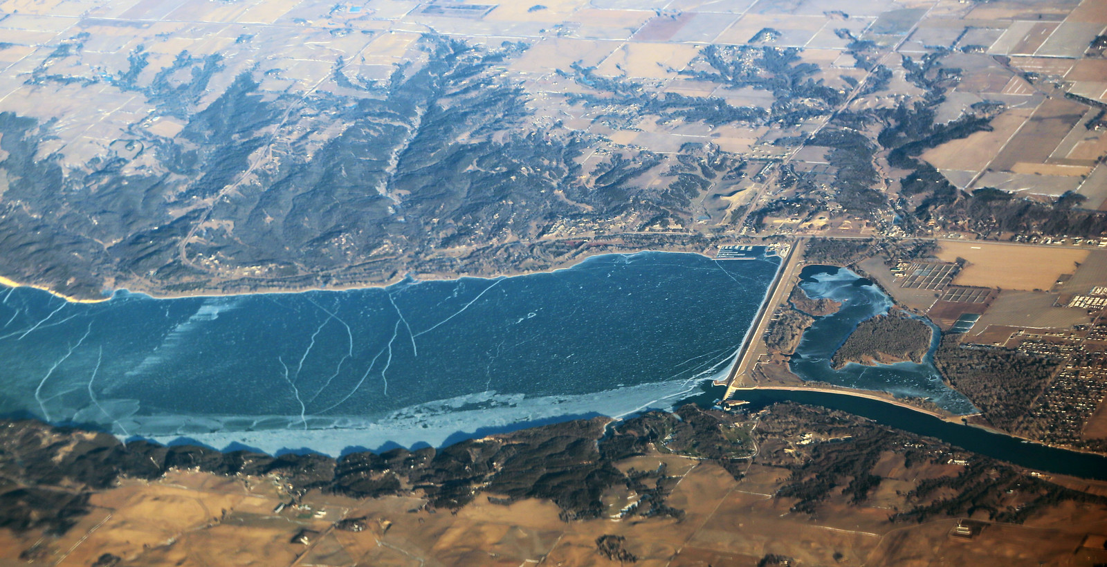
Lewis and Clark Lake
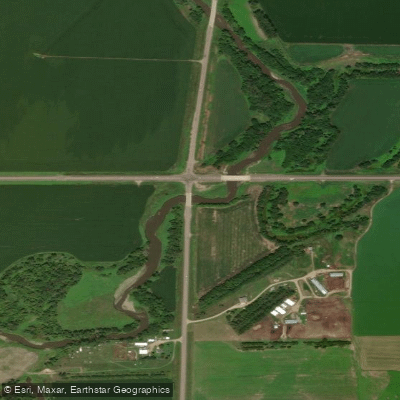
Vermillion River
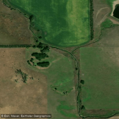
Clay Creek
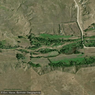
Niobrara River
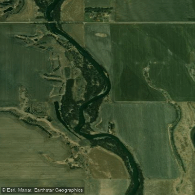
Big Sioux River
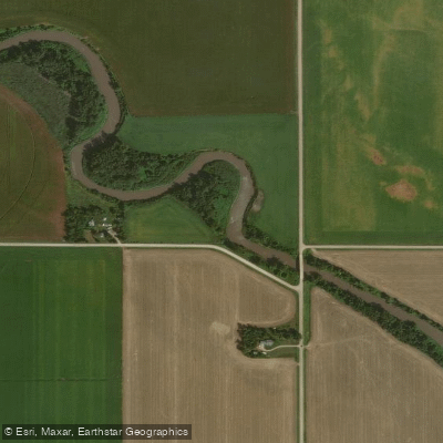
Logan Creek Dredge
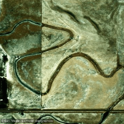
Choteau Creek
Explore South Dakota waters
Top paddling waters
Popular Cities
Loading popular cities...
Explore near Beaver Creek

Smarter Paddling Starts in the App.
Paddleways gives you everything you need to plan smarter, paddle better, and own every trip from first launch to takeout.