Clay Creek
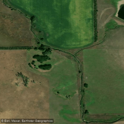
Clay Creek
- Boat Ramps
- 2
- Access Points
- 2
- Campsites
- 0
Clay Creek is a small tributary of the Missouri River in southeastern South Dakota. It flows generally southward through Clay County before joining the Missouri near Vermillion. While Clay Creek itself offers limited paddling opportunities due to its small size, it connects to some excellent flatwater paddling routes on the nearby Missouri River. The most popular paddling section in this area runs from Myron Grove to Clay County Park on the Missouri River, covering 6.1 miles of scenic flatwater. This stretch offers peaceful paddling past wooded shorelines and rolling hills.
The put-in at Myron Grove can be accessed via South Dakota Highway 50 and 454 Avenue. Clay County Park at the take-out provides camping and other amenities. This section is suitable for beginner to intermediate paddlers, with no significant rapids or obstacles. Spring through fall are ideal paddling seasons, though summer can bring increased motorboat traffic.
Wildlife viewing opportunities abound, with paddlers likely to spot waterfowl, shorebirds, deer, and other animals along the banks and bluffs. Notable landmarks include the historic town of Vermillion near the confluence of Clay Creek and the Missouri. The nearby Spirit Mound Historic Prairie offers hiking trails and views over the river valley. Clay County Park serves as a key access point and recreational area.
For a longer adventure, paddlers can continue downstream on the Missouri to additional take-outs like Mulberry Bend or Ponca State Park in Nebraska. Multi-day trips are possible by camping at designated sites along the river.
Safety considerations include watching for submerged obstacles, being prepared for wind and weather changes, and staying clear of barges in the main channel. A South Dakota fishing license is required for anglers. While not a whitewater destination, this stretch of the Missouri connected to Clay Creek provides a serene paddling experience through a historically and ecologically significant river corridor. Its gentle current and ample access points make it ideal for relaxed day trips or longer explorations of the region.
Water access, boat ramps & amenities
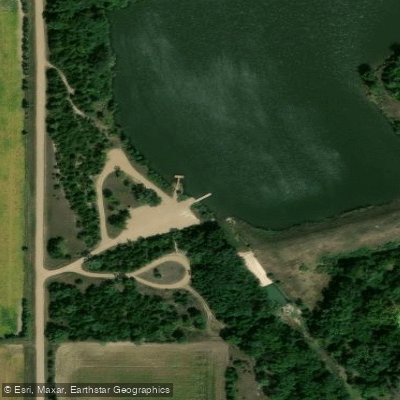
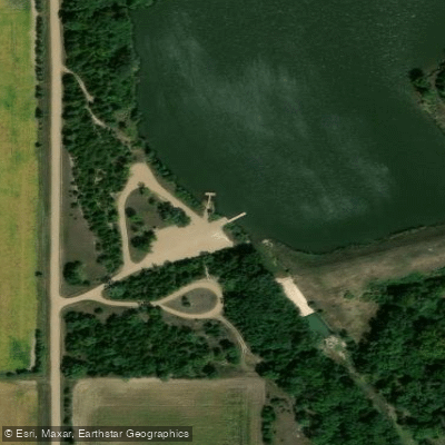
Learn how to get on Clay Creek. Uncover great paddling access points, boat ramps, and all the facilities you need for an unforgettable day on the water. Some locations shown may border or include private property. Always check property boundaries and applicable regulations before visiting. PaddleWays's Public & Private Land layer can help you plan your access with confidence.
Paddle smarter with real-time insights
Whether you're en route and conditions shift or you're looking for the best spot based on current flows, we enable you to make informed decisions on the fly.








Find Places to Paddle

Over 400,000 Places to Paddle
Every user gets free access to launch points, boat ramps, and public property parcels.


Water and weather conditions (10 day forecast)
See the best times to paddle Clay Creek and check the forecast before you go.
No forecast data available.
Paddling near Clay Creek

Missouri River
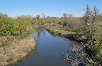
James River
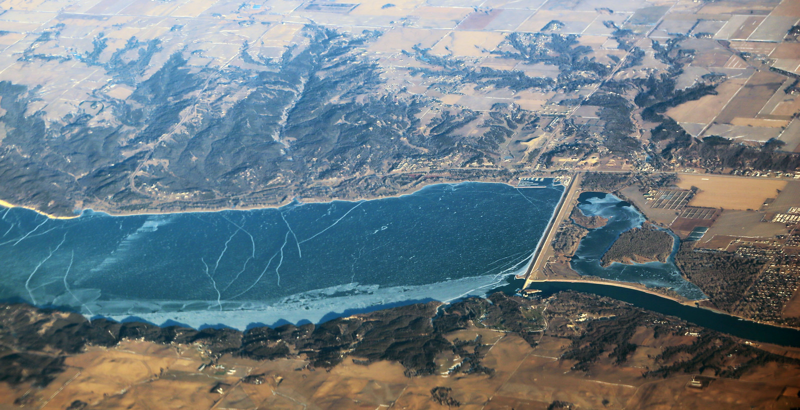
Lewis and Clark Lake
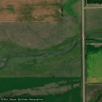
Beaver Creek
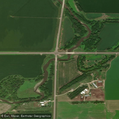
Vermillion River
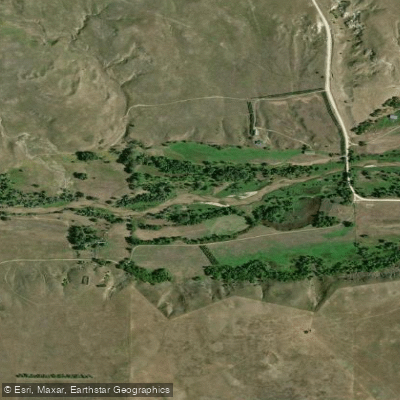
Niobrara River
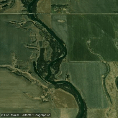
Big Sioux River
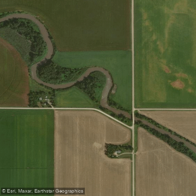
Logan Creek Dredge
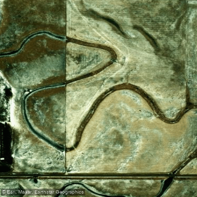
Choteau Creek
Explore South Dakota waters
Top paddling waters
Popular Cities
Loading popular cities...
Explore near Clay Creek

Smarter Paddling Starts in the App.
Paddleways gives you everything you need to plan smarter, paddle better, and own every trip from first launch to takeout.