Laurel River
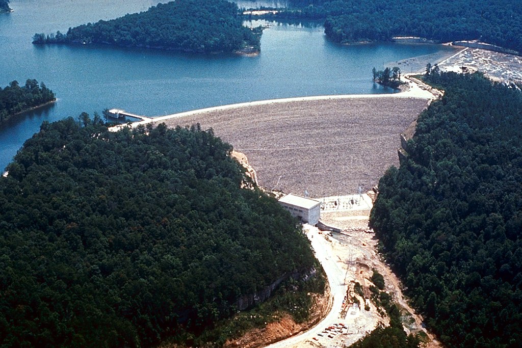
Laurel River
- Boat Ramps
- 2
- Access Points
- 4
- Campsites
- 6
The Laurel River, nestled in the heart of Kentucky's Daniel Boone National Forest, offers a diverse range of paddling experiences for enthusiasts of all skill levels. This scenic waterway flows through Laurel and Whitley counties, eventually joining the Cumberland River system.
The river's most notable section is the 2-mile stretch below Laurel River Lake Dam, which provides an exhilarating Class II-III(IV) whitewater run. This short but intense segment is popular among experienced paddlers seeking a quick adrenaline boost. The put-in is located just below the dam, accessible via KY1193, with the take-out at the confluence with the Cumberland River.
For those seeking a longer adventure, the 34-mile section from Kentucky 461 to the Cumberland River offers consistent Class II rapids, making it suitable for intermediate paddlers and an excellent option for extended day trips or potential multi-day excursions. The Laurel River's difficulty ranges from flatwater sections near Laurel River Lake to challenging Class III rapids, accommodating paddlers from beginners to seasoned whitewater enthusiasts.
The river is generally paddleable year-round, but locals know that the best conditions often occur during the Lake Cumberland drawdown in late summer or early autumn. As you navigate the Laurel River, you'll be treated to the picturesque landscape of the Daniel Boone National Forest, characterized by sandstone cliffs and forested shorelines.
Keep an eye out for great blue herons, which are frequently spotted along the riverbanks. The river's ecosystem supports a diverse array of flora and fauna typical of the Appalachian region.
Notable landmarks include the Laurel River Lake Dam, a significant feature that creates the challenging whitewater section, and the confluence with the Cumberland River, which marks the end of several paddling routes. The nearby Cumberland Falls State Resort Park is also a popular attraction and serves as a put-in or take-out point for some trips.
Access to the river is available through several points, including the area near Corbin, Kentucky. Other nearby towns like London and Williamsburg can serve as bases for paddling excursions. The river's proximity to other waterways such as the Rockcastle River and Wood Creek Lake offers additional paddling opportunities in the region.
The Laurel River holds cultural significance as part of the larger Cumberland River system, which has played a crucial role in the region's history and development. A 16.1-mile section of the Cumberland River from Summer Shoals to Lake Cumberland, which includes part of the Laurel River's course, is designated as a Kentucky Wild River, highlighting its pristine nature and ecological importance.
Safety considerations include wearing appropriate life vests, being aware of water levels, and respecting private property along certain sections of the river. Paddlers should also be prepared for potential weather changes and bring necessary safety equipment, especially when tackling the more challenging whitewater sections.
For those interested in multi-day trips, combining the Laurel River with sections of the Cumberland River can create extended adventures. Popular options include paddling from Cumberland Falls to the Laurel River confluence, which offers a mix of scenic beauty and moderate whitewater over 11.6 miles.
Whether you're seeking a peaceful float through serene forests or an adrenaline-pumping whitewater experience, the Laurel River provides a quintessential Kentucky paddling adventure, showcasing the natural beauty and diverse paddling opportunities of the Bluegrass State.
Water access, boat ramps & amenities
Learn how to get on Laurel River. Uncover great paddling access points, boat ramps, and all the facilities you need for an unforgettable day on the water. Some locations shown may border or include private property. Always check property boundaries and applicable regulations before visiting. PaddleWays's Public & Private Land layer can help you plan your access with confidence.
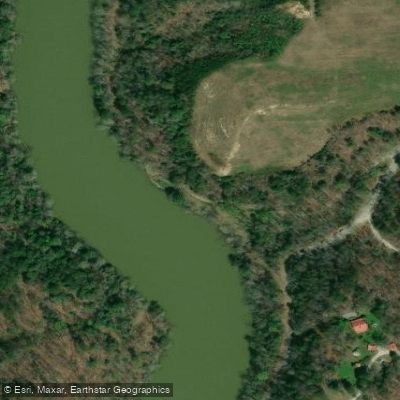
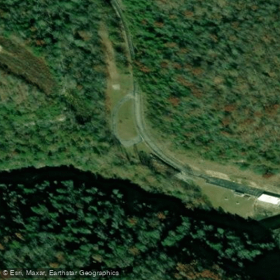
Paddle smarter with real-time insights
Whether you're en route and conditions shift or you're looking for the best spot based on current flows, we enable you to make informed decisions on the fly.








Find Places to Paddle

Over 400,000 Places to Paddle
Every user gets free access to launch points, boat ramps, and public property parcels.


Water and weather conditions (10 day forecast)
See the best times to paddle Laurel River and check the forecast before you go.
LAUREL RIVER AT MUNICIPAL DAM NEAR CORBIN, KY
Paddling near Laurel River
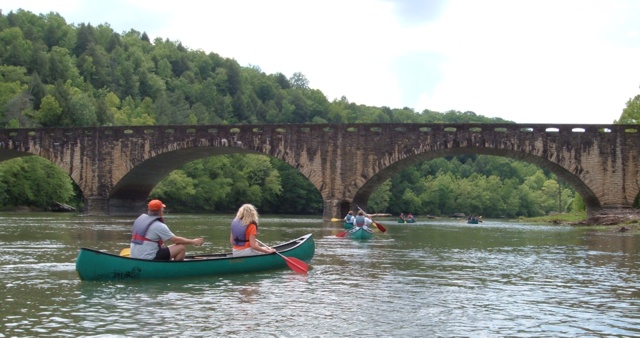
Cumberland River
Big South Fork Cumberland River
Lake Cumberland
Clinch River
Norris Lake
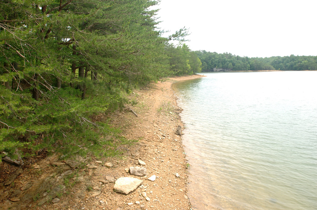
Laurel River Lake
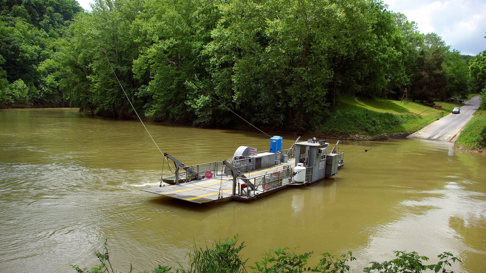
Green River
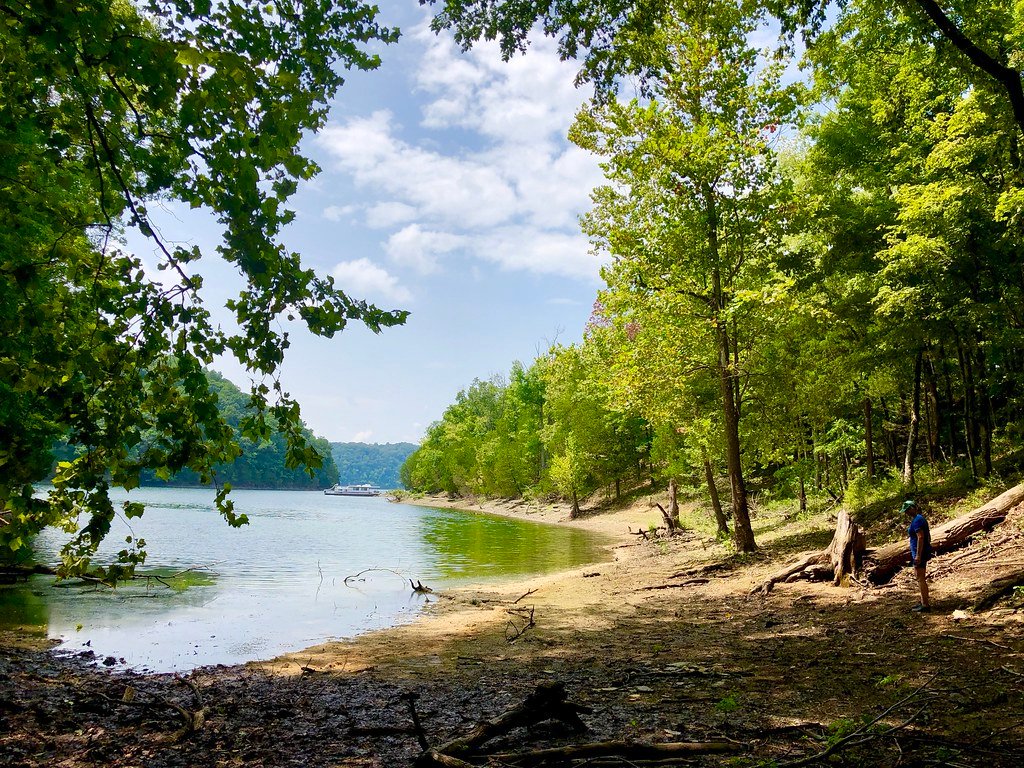
Dale Hollow Lake
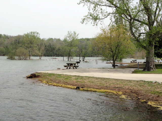
Obey River
Explore Kentucky waters
Top paddling waters
Popular Cities
Loading popular cities...
Explore near Laurel River
Access points
Nearby waters
More in Kentucky

Smarter Paddling Starts in the App.
Paddleways gives you everything you need to plan smarter, paddle better, and own every trip from first launch to takeout.