Laurel River Lake
Laurel River Lake
- Boat Ramps
- 8
- Access Points
- 8
- Campsites
- 5
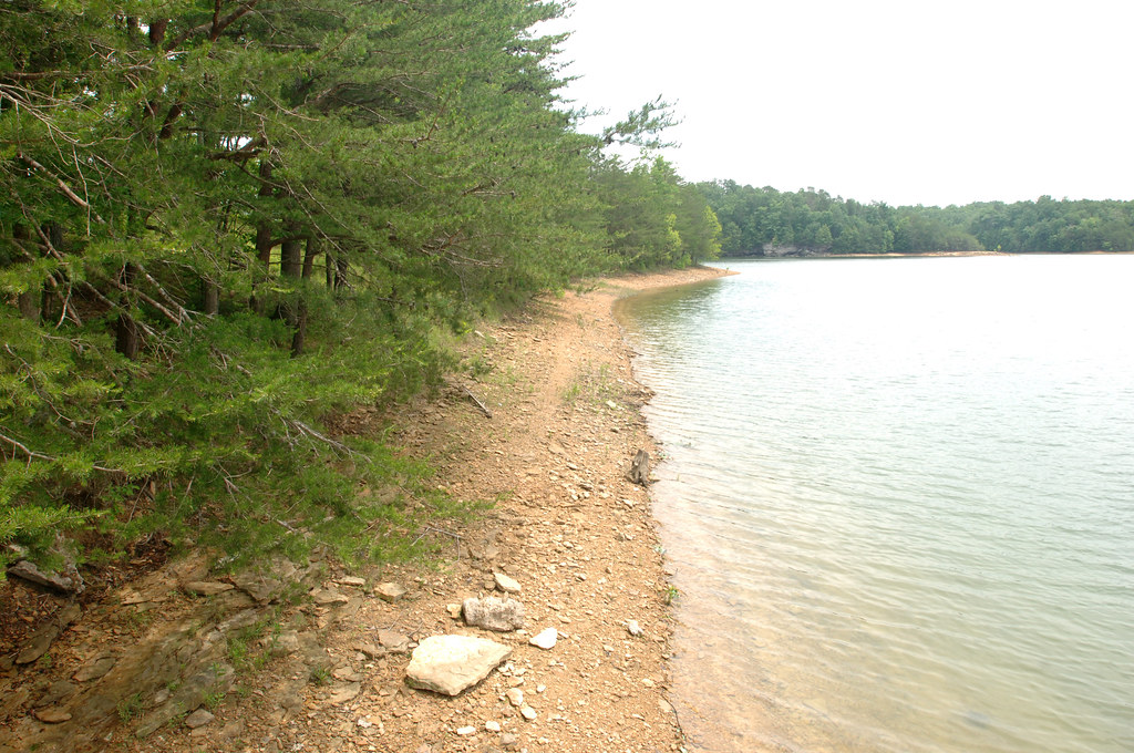
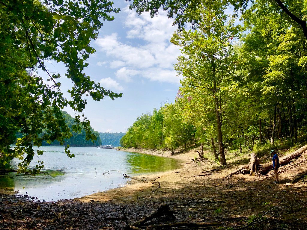
Laurel River Lake in southeastern Kentucky offers paddlers a scenic Y-shaped reservoir surrounded by undeveloped forest. The 210-mile shoreline features sandstone geography with gentle slopes, large rocks, and sandy beaches at creek mouths. Water visibility ranges from 6-10 feet in the main body to over 20 feet in feeder creeks.
The lake comprises two main bodies - Laurel River and Craigs Creek - along with numerous feeder creeks ideal for 5-10 mile round-trip paddles. Cane Branch is closed to motorboats but open to paddlers. An active bald eagle nest near the dam provides wildlife viewing opportunities.
For the best experience, visit mid-week in October when fall colors peak and motorized traffic is minimal. Summer weekends can be crowded and potentially hazardous due to heavy boat traffic. The lake is generally calm, especially in coves.
Camping options include two developed boat-in campgrounds (White Oak and Grove) with amenities for $7/night, as well as free primitive sites along the shoreline. Multiple boat ramps provide access, including free ramps at HighTop and Craig's Creek. Other ramps require a parking permit available for purchase locally.
Paddlers will find clear water, waterfalls in coves after rain, and ample photography opportunities. The undeveloped shoreline creates a back-to-nature atmosphere. With its diverse paddling options and natural beauty, Laurel River Lake is considered one of Kentucky's premier paddling destinations.
Water access, boat ramps & amenities
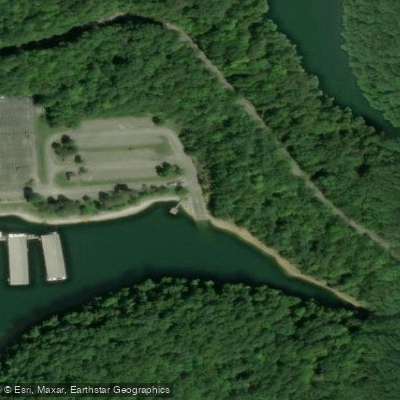
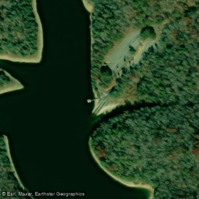
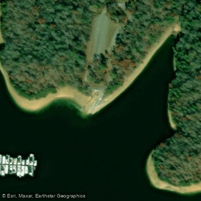
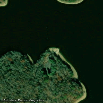
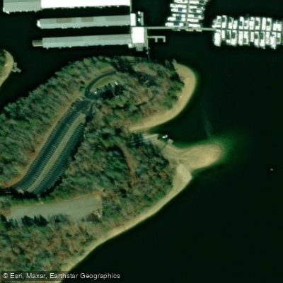
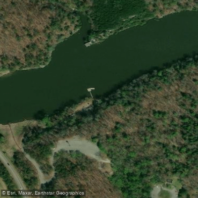
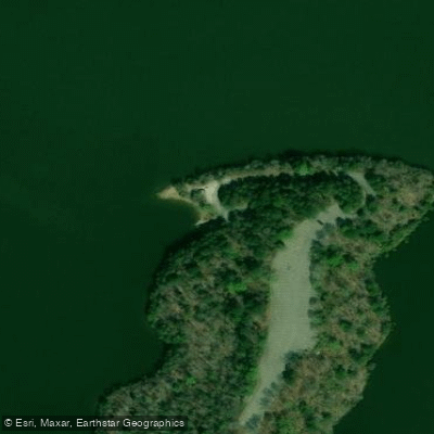
Learn how to get on Laurel River Lake. Uncover great paddling access points, boat ramps, and all the facilities you need for an unforgettable day on the water. Some locations shown may border or include private property. Always check property boundaries and applicable regulations before visiting. PaddleWays's Public & Private Land layer can help you plan your access with confidence.
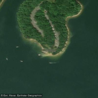
Paddle smarter with real-time insights
Whether you're en route and conditions shift or you're looking for the best spot based on current flows, we enable you to make informed decisions on the fly.








Find Places to Paddle

Over 400,000 Places to Paddle
Every user gets free access to launch points, boat ramps, and public property parcels.


Water and weather conditions (10 day forecast)
See the best times to paddle Laurel River Lake and check the forecast before you go.
LAUREL RIVER AT MUNICIPAL DAM NEAR CORBIN, KY
Paddling near Laurel River Lake
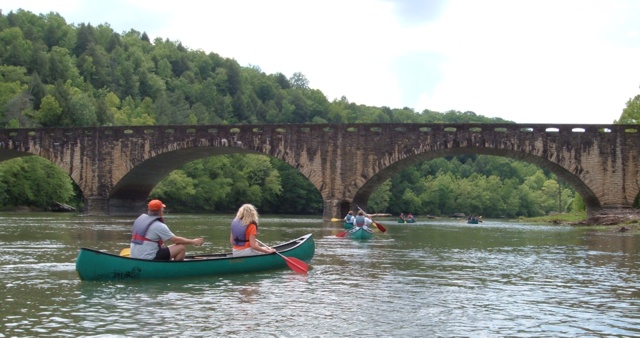
Cumberland River
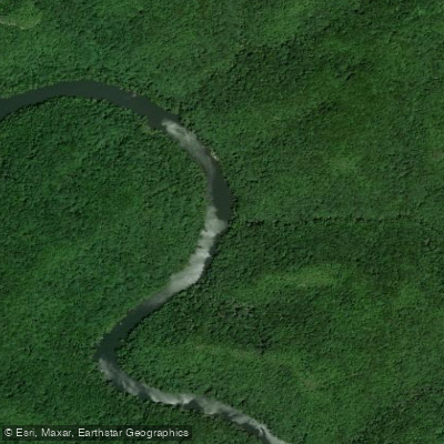
Big South Fork Cumberland River
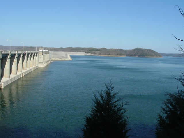
Lake Cumberland
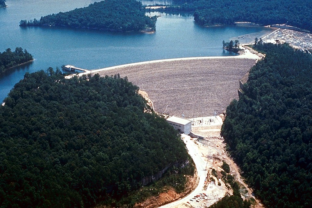
Laurel River
Clinch River
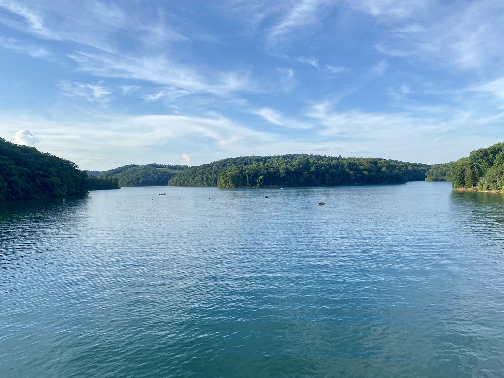
Norris Lake
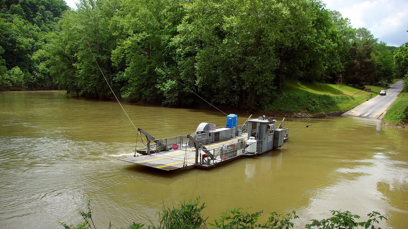
Green River
Dale Hollow Lake
Obey River
Explore Kentucky waters
Top paddling waters
Popular Cities
Loading popular cities...
Explore near Laurel River Lake
Access points
Nearby waters
More in Kentucky

Smarter Paddling Starts in the App.
Paddleways gives you everything you need to plan smarter, paddle better, and own every trip from first launch to takeout.