Pigeon River
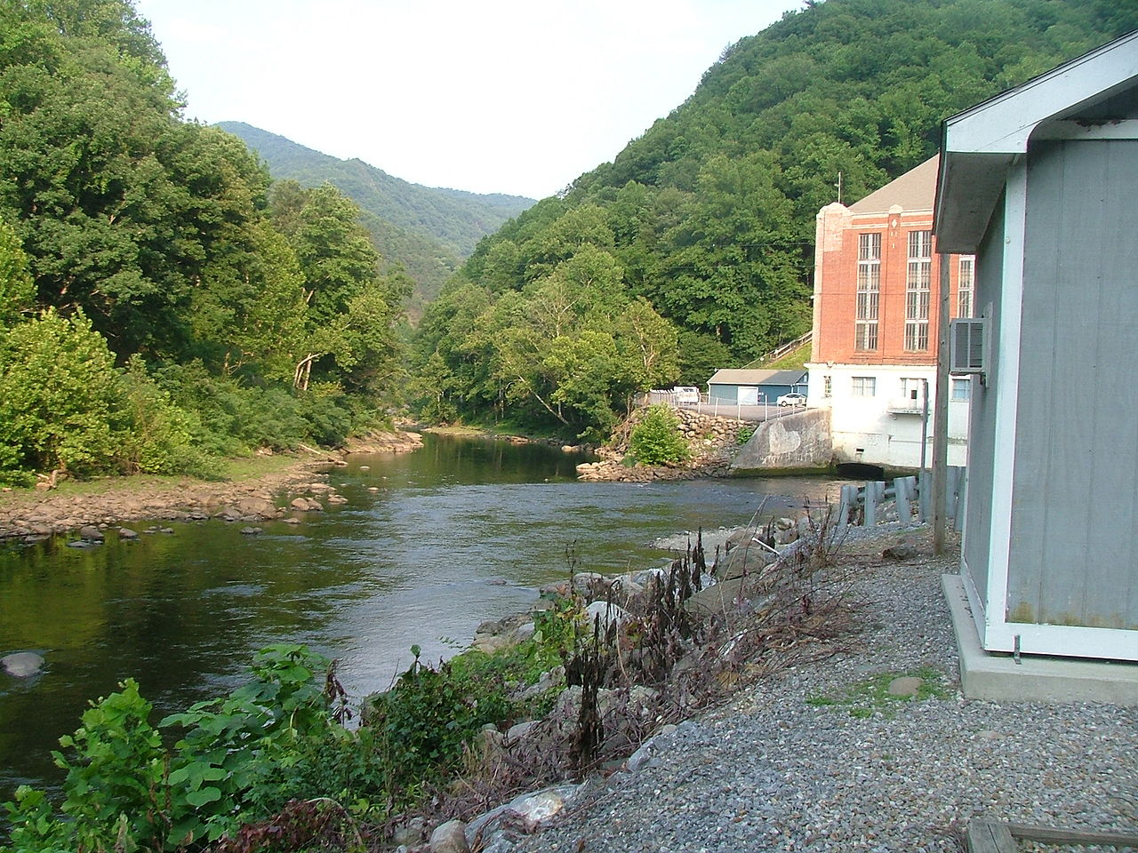
Pigeon River
- Boat Ramps
- 8
- Access Points
- 16
- Campsites
- 15
The Pigeon River is a waterway that flows approximately 70 miles from its headwaters in Haywood County, North Carolina, northwest through the Great Smoky Mountains to its confluence with the French Broad River near Newport, Tennessee. This river offers paddlers a wide range of experiences, from calm float trips to exhilarating whitewater adventures.
The river can be divided into several distinct sections, each with its own character. The upper reaches in North Carolina, including the East and West Forks, provide excellent opportunities for intermediate paddlers, with stretches of Class II-III rapids winding through beautiful mountain scenery. The Confluence of East-West Fork to New Hepco Bridge section offers a longer 26.7-mile run with a mix of Class I-III rapids, perfect for those looking to build their skills or enjoy a full day on the water.
As the river enters Tennessee, it becomes more challenging. The famous "Pigeon Gorge" section, also known as Big Creek to Hartford, is a 4.66-mile stretch of continuous Class III+ rapids. This popular run features 12 Class III and 3 Class IV rapids with colorful names like Too Late, Vegamatic, and Lost Guide. It's a favorite among both private boaters and commercial rafting companies.
For families and those seeking a more relaxed experience, the Lower Pigeon River offers a 5.5 to 6-mile scenic float with mostly Class I and II rapids and one Class III rapid. This section is suitable for children as young as 3 years old and provides beautiful views of the surrounding Smoky Mountains.
The best time to paddle the Pigeon River is typically from late spring through early fall. Water releases from the Walters Dam, which controls much of the river's flow, are generally scheduled from Memorial Day to Labor Day, ensuring consistent levels for rafting and kayaking during the summer months. However, some sections can be run year-round depending on rainfall and water levels.
The river corridor is home to diverse flora and fauna typical of the Southern Appalachians. Paddlers may spot black bears, white-tailed deer, and a variety of bird species. The surrounding forests showcase a mix of hardwoods and evergreens, with stunning displays of wildflowers in the spring and vibrant foliage in the fall.
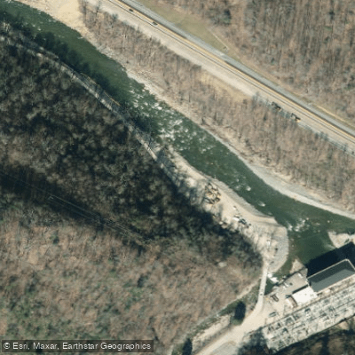
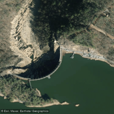
Notable landmarks along the river include the Walters Dam and power plant, an impressive engineering feat from the 1930s that still generates hydroelectric power today. The river also passes through the Cherokee National Forest and skirts the edge of Great Smoky Mountains National Park, offering paddlers glimpses of pristine wilderness.
Access to the river is generally good, with several put-in and take-out points along its course. The towns of Hartford, Tennessee, and Canton, North Carolina, serve as major access points and bases for outfitters and paddlers. Gatlinburg and Pigeon Forge, popular tourist destinations, are also within easy reach of the river's recreational areas.
Historically, the Pigeon River played a significant role in the development of the region, powering mills and supporting local industries. In recent decades, it has overcome environmental challenges to become a vital recreational resource and a symbol of successful river restoration efforts.
Safety is paramount on the Pigeon River, especially in its more challenging sections. Paddlers should always check current water levels and release schedules before embarking on a trip. Wearing appropriate safety gear, including life jackets, is essential. Commercial rafting trips are available for those who want to experience the river's excitement with professional guides.
While most paddlers enjoy day trips on the Pigeon River, multi-day adventures are possible by combining different sections or incorporating nearby rivers. The variety of difficulty levels and scenery makes the Pigeon River an excellent destination for paddlers of all skill levels, from beginners to experienced whitewater enthusiasts.
Water access, boat ramps & amenities
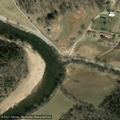
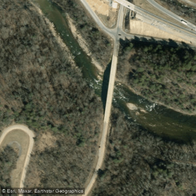
Learn how to get on Pigeon River. Uncover great paddling access points, boat ramps, and all the facilities you need for an unforgettable day on the water. Some locations shown may border or include private property. Always check property boundaries and applicable regulations before visiting. PaddleWays's Public & Private Land layer can help you plan your access with confidence.
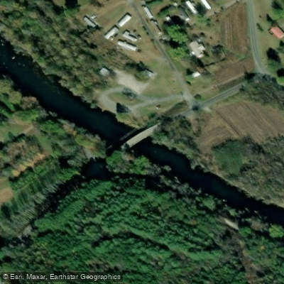
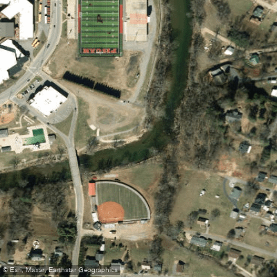
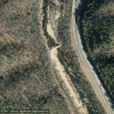
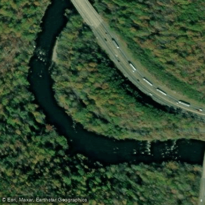
Paddle smarter with real-time insights
Whether you're en route and conditions shift or you're looking for the best spot based on current flows, we enable you to make informed decisions on the fly.








Find Places to Paddle

Over 400,000 Places to Paddle
Every user gets free access to launch points, boat ramps, and public property parcels.


Water and weather conditions (10 day forecast)
See the best times to paddle Pigeon River and check the forecast before you go.
PIGEON RIVER AT NEWPORT, TN
All Flow Stations
Paddling near Pigeon River
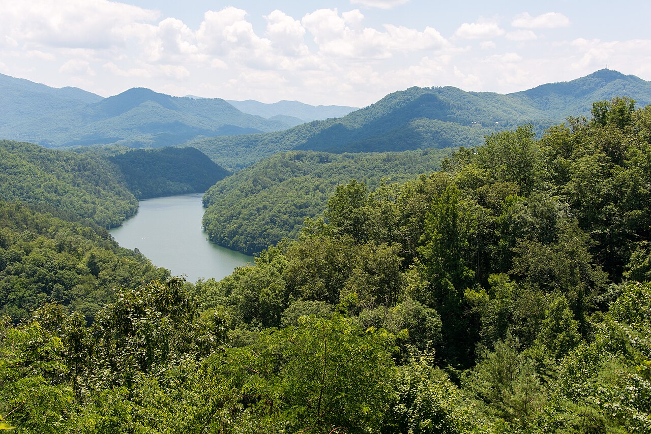
Tuckasegee River

French Broad River

Little Tennessee River
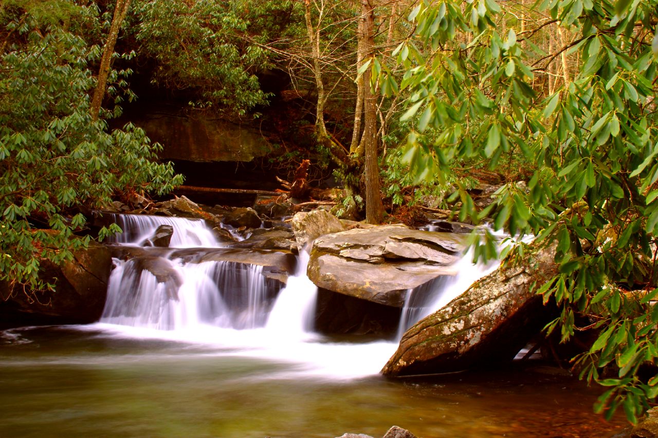
Davidson River
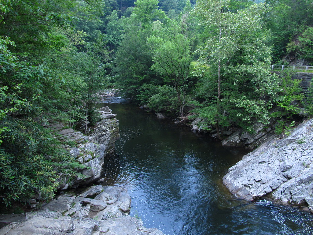
Little River
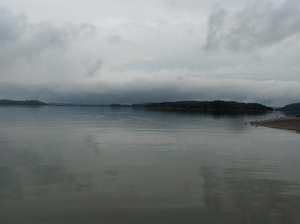
Douglas Lake
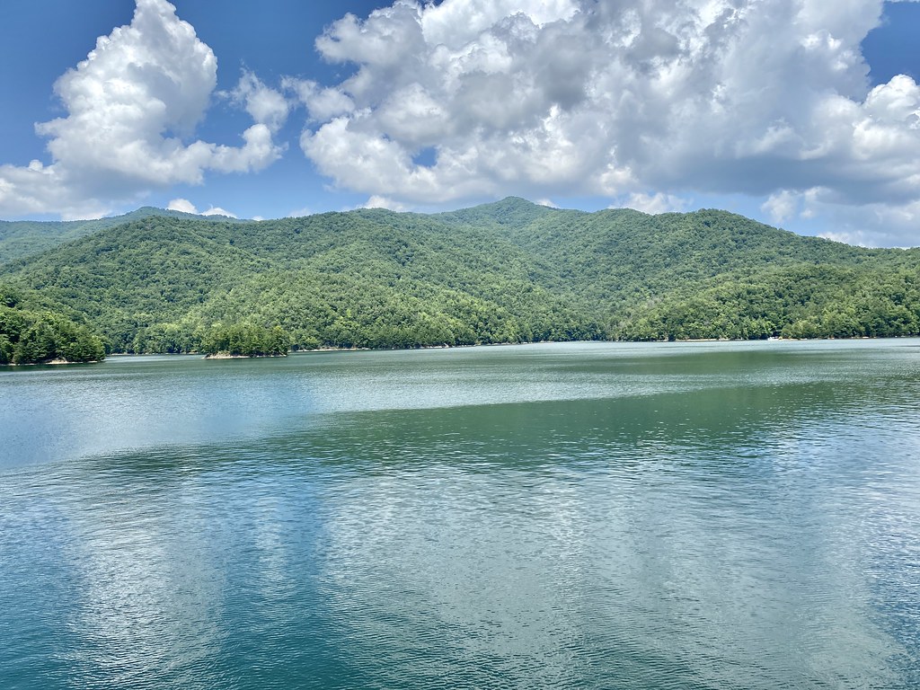
Fontana Lake
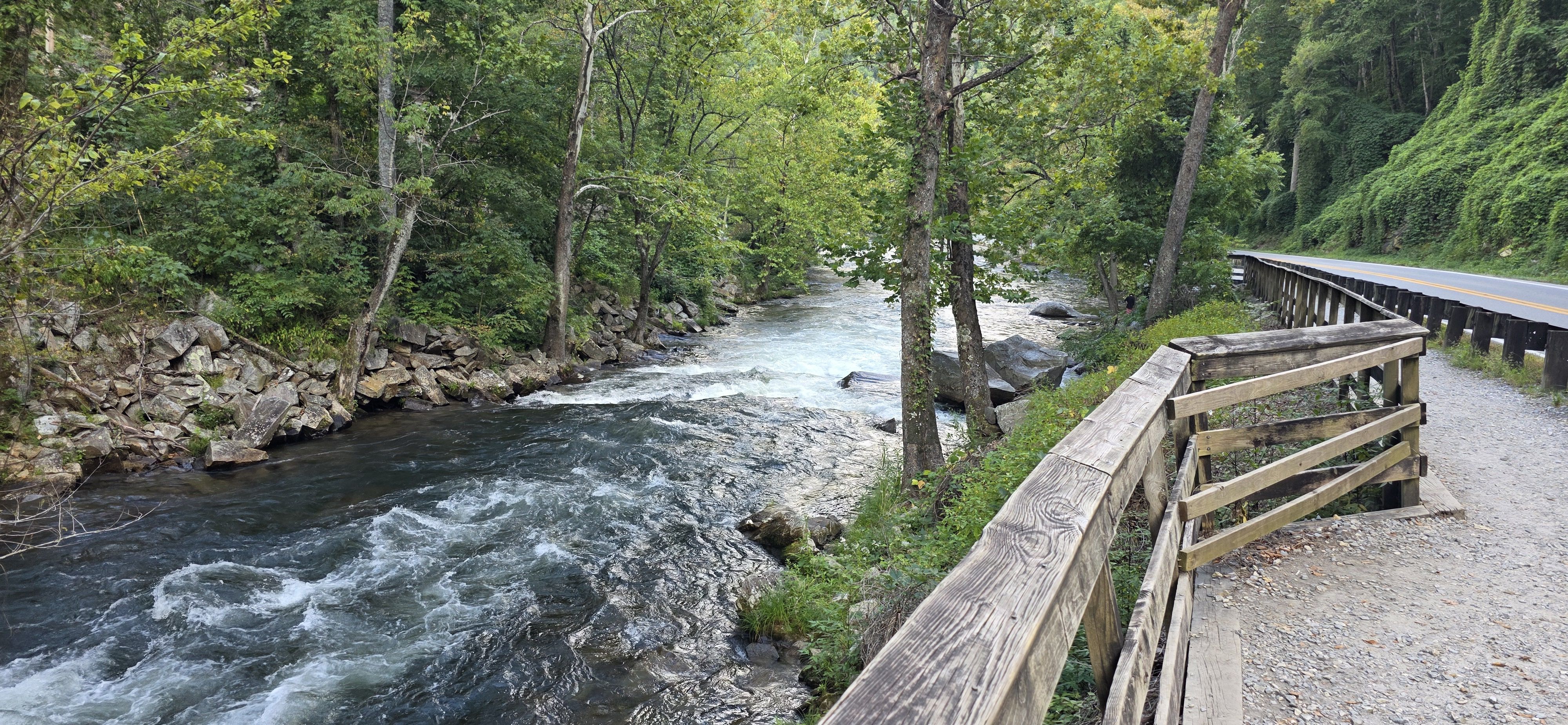
Nantahala River
Holston River
Explore North Carolina waters
Top paddling waters
Popular Cities
Loading popular cities...
Explore near Pigeon River
Access points
Nearby waters
More in North Carolina

Smarter Paddling Starts in the App.
Paddleways gives you everything you need to plan smarter, paddle better, and own every trip from first launch to takeout.