Chilhowee Lake
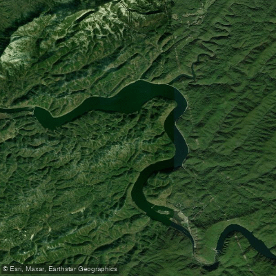
Chilhowee Lake
- Boat Ramps
- 2
- Access Points
- 3
- Campsites
- 3
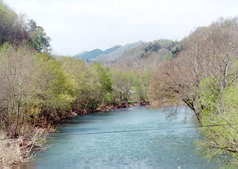
Chilhowee Lake, located 40 miles south of Knoxville, Tennessee, offers a remote and peaceful paddling experience. The lake features unique geological formations, including massive boulders and smooth, pocked rocks with perfectly round marble-like stones in bucket-sized holes. Paddlers can access the lake via a boat ramp at the end of old Calderwood Road, which branches off Highway 129 after 12 curves of the infamous "Dragon" section.
A notable paddling route begins at the old Calderwood community and heads upstream to the powerhouse. Near the powerhouse, paddlers can observe impressive rock formations where waters from Calderwood Dam trickle down. A sloped area to the right of where the stream enters the lake provides an excellent spot for picnicking.
The lake is currently undergoing repairs, resulting in lower water levels. This presents a unique opportunity to view historical artifacts like old road beds and home sites from before the lake's formation. Paddlers should exercise caution and avoid collecting any artifacts, as it may be illegal.
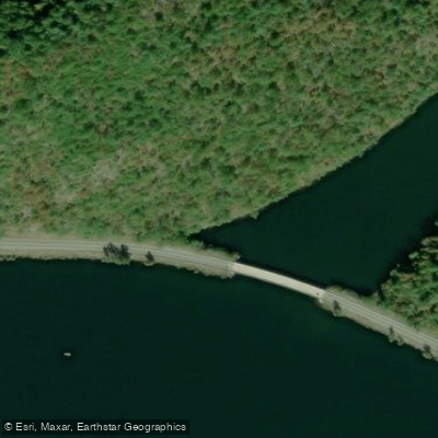
Abrams Creek, accessible from Chilhowee Lake, offers a short but scenic paddling trip. At its mouth, paddlers can spot a sunken bridge with a jeep and pickup truck still visible.
Facilities include porta-potties and a boat ramp with ample parking. The access gate is only open from 8 am to 3 pm, so paddlers should plan accordingly. No fees are required for lake access.
Chilhowee Lake's remote location makes it an ideal destination for those seeking a quiet, nature-focused paddling experience away from crowds. The lake's historical significance and unique geological features add interest to the journey, though paddlers should be prepared for potential mud and odors due to the current low water levels.
Water access, boat ramps & amenities
Learn how to get on Chilhowee Lake. Uncover great paddling access points, boat ramps, and all the facilities you need for an unforgettable day on the water. Some locations shown may border or include private property. Always check property boundaries and applicable regulations before visiting. PaddleWays's Public & Private Land layer can help you plan your access with confidence.
Paddle smarter with real-time insights
Whether you're en route and conditions shift or you're looking for the best spot based on current flows, we enable you to make informed decisions on the fly.








Find Places to Paddle

Over 400,000 Places to Paddle
Every user gets free access to launch points, boat ramps, and public property parcels.


Water and weather conditions (10 day forecast)
See the best times to paddle Chilhowee Lake and check the forecast before you go.
No forecast data available.
Paddling near Chilhowee Lake
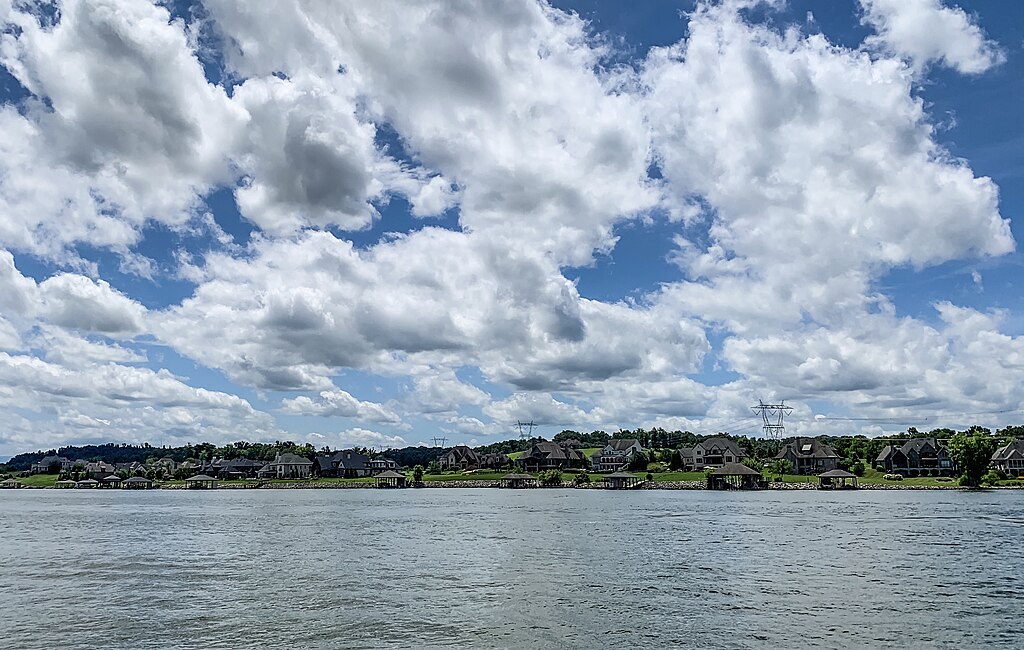
Fort Loudoun Lake

Tennessee River
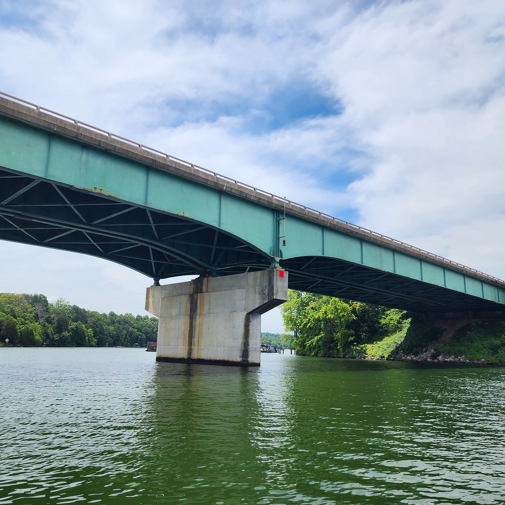
Tellico Lake
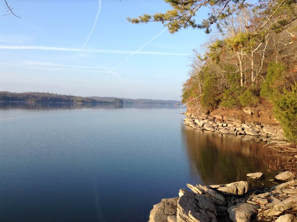
Watts Bar Lake

French Broad River
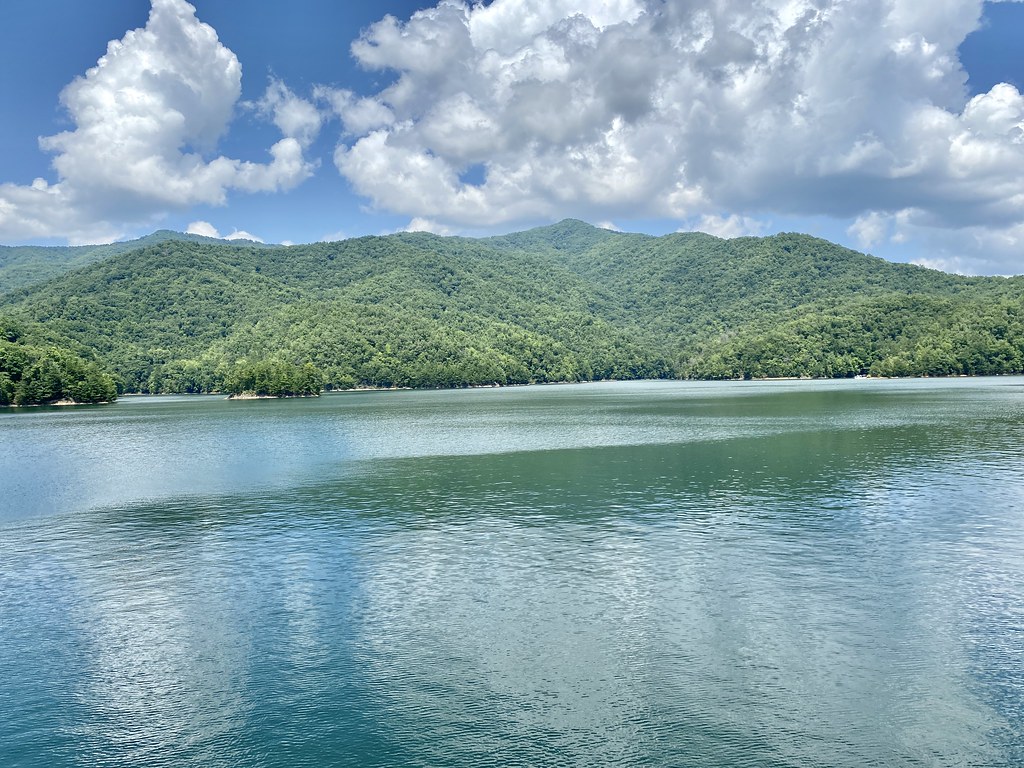
Fontana Lake
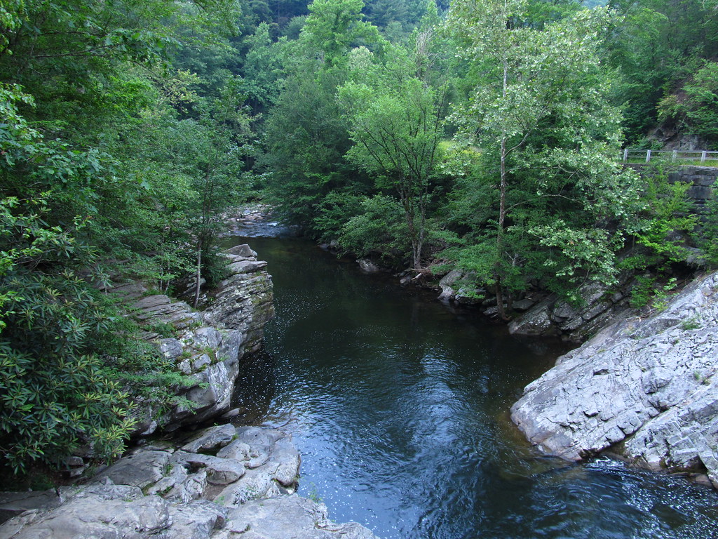
Little River
Holston River
Clinch River

Little Tennessee River
Explore Tennessee waters
Top paddling waters
Popular Cities
Loading popular cities...
Explore near Chilhowee Lake
Access points
Nearby waters
More in Tennessee

Smarter Paddling Starts in the App.
Paddleways gives you everything you need to plan smarter, paddle better, and own every trip from first launch to takeout.