Curated by PaddleWays
RouteClass II–III
- Distance
- 17.2 mi
- Paddle time
- ~4.5 hrs
- Best for
- Intermediate paddlers
- Put-in → take-out
- Doublecamp Access → Citico Boat Ramp
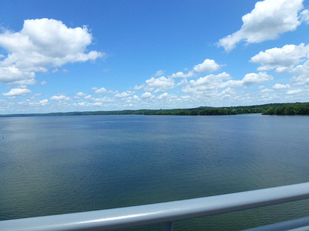
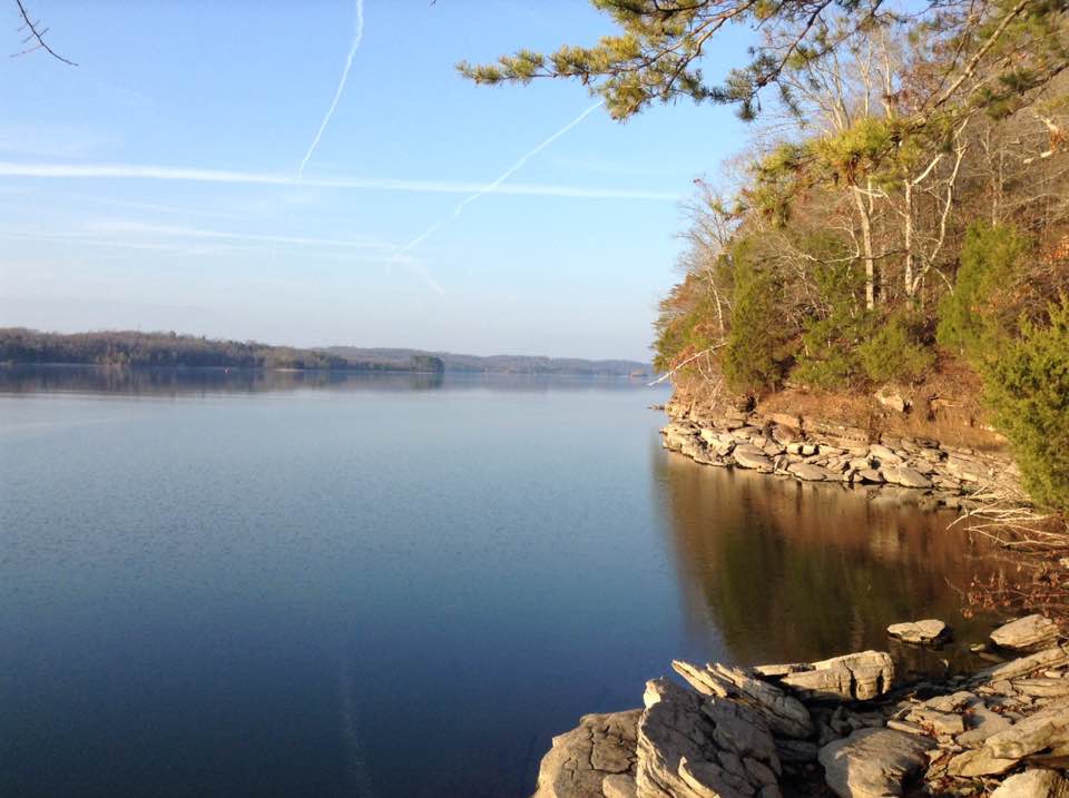
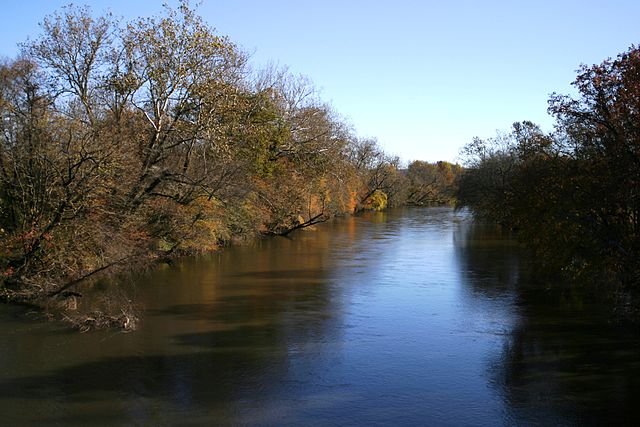
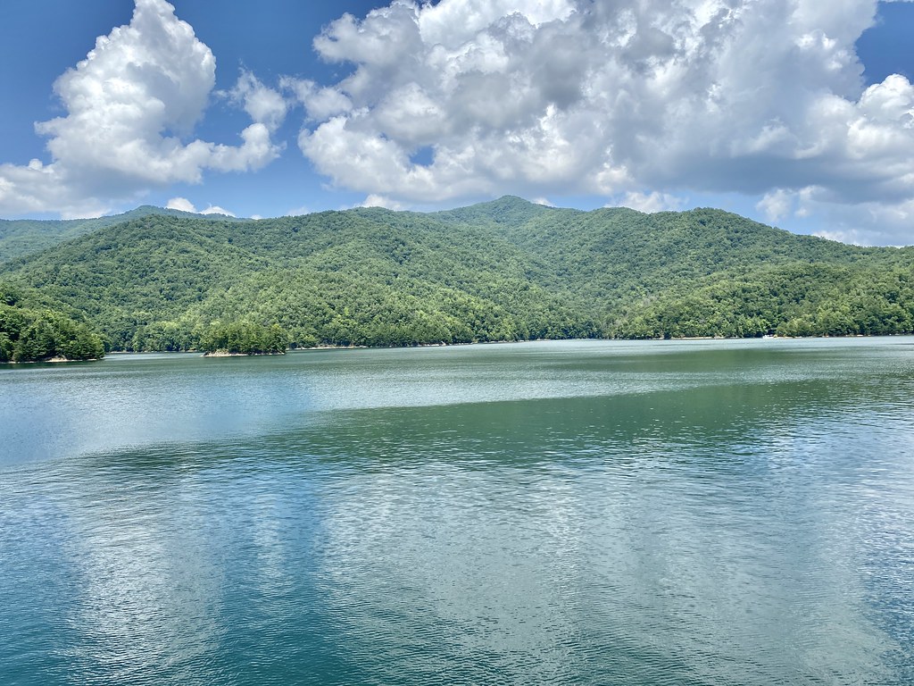
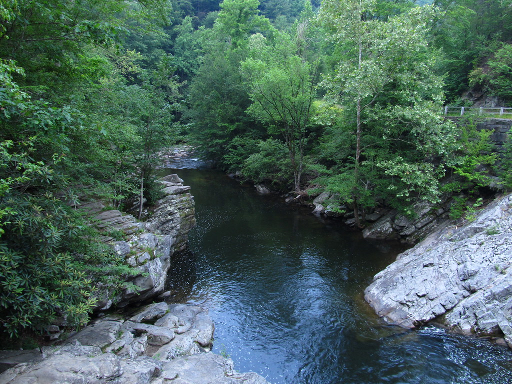
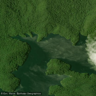
Citico Creek originates high in the Unicoi Mountains of the Cherokee National Forest, flowing northward through Monroe County, Tennessee before emptying into Tellico Lake at the upper end of the reservoir. The creek's headwaters emerge from the federally-designated Citico Creek Wilderness Area, where the North Fork and South Fork converge near Warden Field to form the main stem. From this confluence, the creek descends approximately 3.3 kilometers through a forested gorge characterized by alternating pools, runs, and cascading riffles before reaching the impounded waters of Tellico Lake.
The paddling opportunities on Citico Creek are limited but distinctive. The lower section near the lake offers a unique flatwater experience where paddlers can explore the creek's mouth from Tellico Lake, navigating upstream through a maze of islands and reed beds for approximately one mile. This beginner-friendly section provides access to Citico Beach and features calm water suitable for canoes, kayaks, and stand-up paddleboards. The upper sections of Citico Creek are not suitable for paddling due to steep gradient, shallow depths, and technical whitewater conditions.
Citico Creek supports an exceptional aquatic ecosystem, designated as an "exceptional Tennessee stream" by state authorities. The waterway hosts 52 native fish species, including the federally endangered Citico darter (named for this creek) and smoky madtom, plus the threatened yellowfin madtom. The surrounding forest provides habitat for osprey, bald eagles, beaver, and numerous waterfowl species. Riparian vegetation includes river cane stands and cattail marshes near the lake confluence.
Access to Citico Creek is primarily via Forest Service Road 35-1 (Citico Creek Road), which parallels the stream from Tellico Plains. The Harrison Branch boat ramp on Tellico Lake provides the main put-in for paddlers exploring the creek's lower reaches. Tellico Plains, located approximately 8 miles southwest, serves as the nearest community with services.
The creek holds cultural significance as the site of a historic Cherokee village called Citico (from the Cherokee word "sitiku" meaning "place of clean fishing water"). The village was located along the banks where the creek meets the former Little Tennessee River channel, now submerged beneath Tellico Lake.
Tennessee Wildlife Resources Agency stocks the upper creek with rainbow trout from March through August, and special regulations apply including Thursday-Friday closures during stocking season. A Tellico-Citico Trout Permit is required during this period. The Citico Creek Wilderness Area offers over 20,000 acres of backcountry terrain with primitive camping opportunities along the creek corridor.
Curated routes
Hand-picked by the PaddleWays team, with put-ins, take-outs, paddle times and the hazards along the way.
RouteClass II–III
Hazards
No hazards are marked on Citico Creek yet. That is not the same as none being there: if you find one, report it for the next paddler.
From the community
Nobody has shared a trip on Citico Creek yet. Paddle it, then tell the next paddler how it went.
See exactly where the public can get on and off the river. Launch points and boat ramps are paired with PaddleWays' public land data so you know where you can legally land.
Public shoreline
90%of the river's shoreline is public
Flows, weather and a route-by-route verdict, so you know which stretch of the Citico Creek is worth paddling today.
No forecast data available.
Live flows, marked hazards and fresh trip reports from paddlers who were just on the water, all in one place.





Every user gets free access to launch points, boat ramps, and public property parcels.
Loading popular cities...
PaddleWays gives you everything you need to plan smarter, paddle better, and own every trip from first launch to takeout.