Emory River
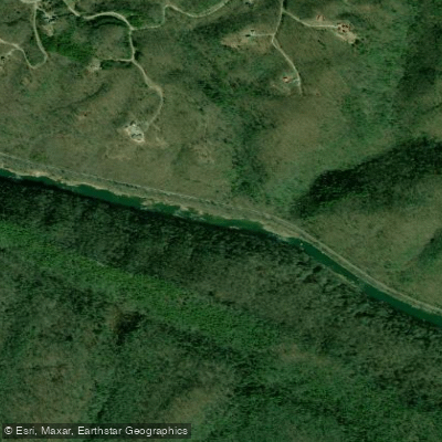
Emory River
- Boat Ramps
- 1
- Access Points
- 4
- Campsites
- 13
The Emory River is a scenic waterway in eastern Tennessee, originating in the Cumberland Plateau and flowing southwest for approximately 46 miles before joining the Clinch River at Watts Bar Lake. It drains a watershed of about 865 square miles, with major tributaries including the Obed River and Daddy's Creek. The Emory offers diverse paddling opportunities across several distinct sections. The upper reaches feature more challenging whitewater, while the lower sections provide easier floating suitable for beginners. Overall difficulty ranges from Class I to IV, accommodating paddlers of various skill levels.
The most popular whitewater run is the 7.7-mile Emory River Canyon section from Highway 62 to Nemo Bridge, featuring Class II-III rapids. Intermediate paddlers will enjoy the scenic gorge and moderate whitewater. Downstream, the 9-mile Nemo to Oakdale stretch offers an easier Class I-II float trip ideal for novices and families. The lower 3.8-mile section from Oakdale to Clifty Creek provides a gentle Class I experience perfect for beginners.
Spring and fall typically offer the best paddling conditions, with reliable water levels from rainfall and snowmelt. Summer can see lower flows, though the lower sections often remain navigable. Winter paddling is possible but requires cold-water gear and experience.
The river corridor supports diverse flora and fauna, including hardwood forests, wildflowers, and wildlife such as deer, turkey, and various bird species. Paddlers may spot bald eagles soaring above the gorge. Key landmarks include the scenic Emory River Gorge, Nemo Bridge, and the historic mining town of Oakdale. The river passes through the Catoosa Wildlife Management Area, offering opportunities to observe nature.
Primary access points include the Highway 62 Bridge near Lancing, Nemo Bridge, and Oakdale, with the nearby towns of Wartburg and Harriman providing services. The river holds cultural significance as a transportation route for early settlers and played a role in the region's coal mining history.
Safety considerations include checking water levels before paddling, as the river can rise quickly after heavy rains. Paddlers should be aware of potential strainers and follow Leave No Trace principles in this scenic watershed. While most trips are day excursions, multi-day adventures are possible by combining sections or incorporating camping along the Obed Wild and Scenic River system.
The Emory River offers a range of paddling experiences, from thrilling whitewater to peaceful floats, all set against the backdrop of Tennessee's beautiful Cumberland Plateau.
Water access, boat ramps & amenities
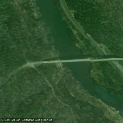
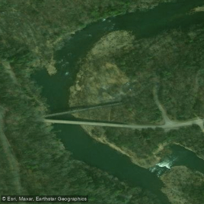
Learn how to get on Emory River. Uncover great paddling access points, boat ramps, and all the facilities you need for an unforgettable day on the water. Some locations shown may border or include private property. Always check property boundaries and applicable regulations before visiting. PaddleWays's Public & Private Land layer can help you plan your access with confidence.
Paddle smarter with real-time insights
Whether you're en route and conditions shift or you're looking for the best spot based on current flows, we enable you to make informed decisions on the fly.








Find Places to Paddle

Over 400,000 Places to Paddle
Every user gets free access to launch points, boat ramps, and public property parcels.


Water and weather conditions (10 day forecast)
See the best times to paddle Emory River and check the forecast before you go.
EMORY RIVER AT OAKDALE, TN
Paddling near Emory River

Tennessee River
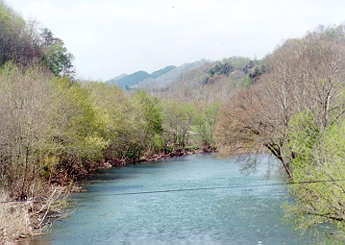
Clinch River
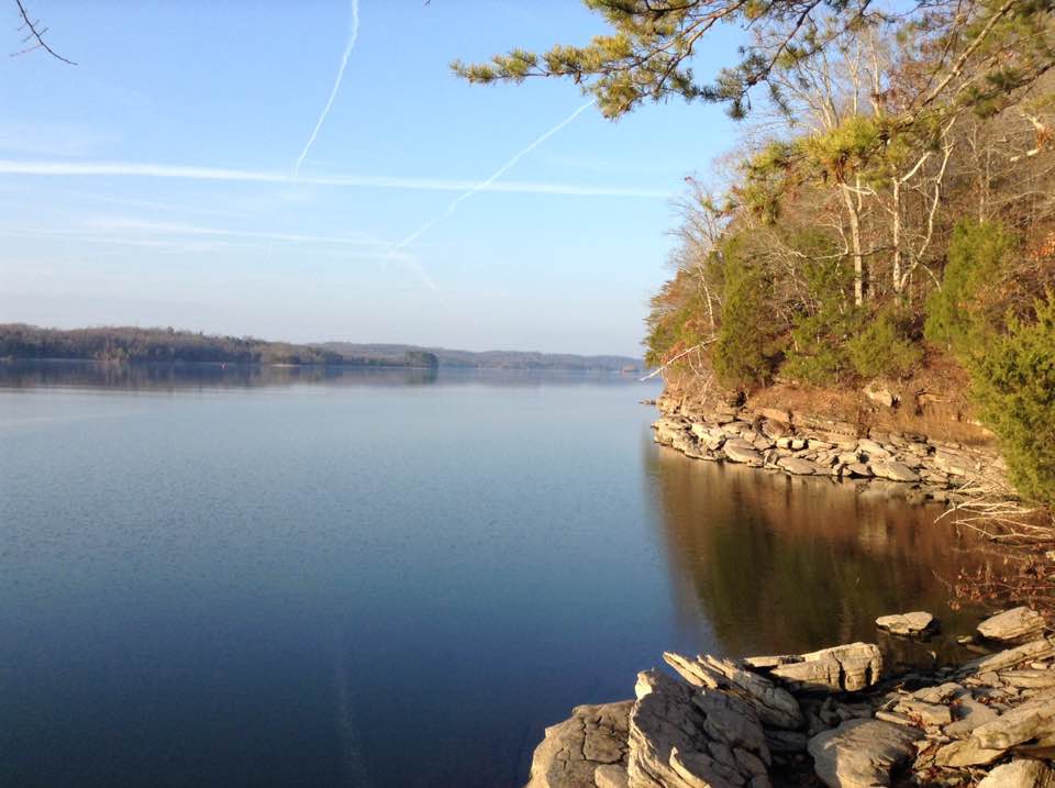
Watts Bar Lake
Big South Fork Cumberland River
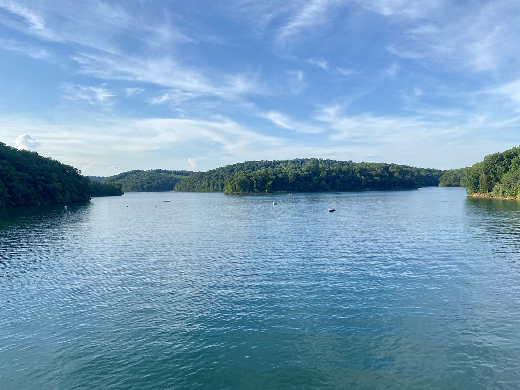
Norris Lake

Little Tennessee River
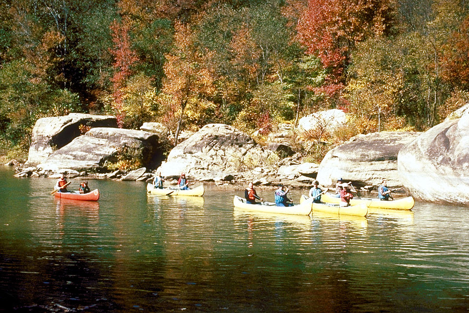
Caney Fork
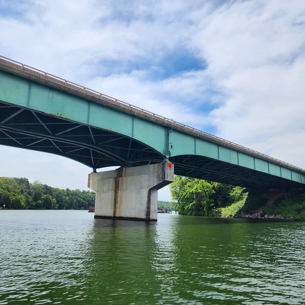
Tellico Lake
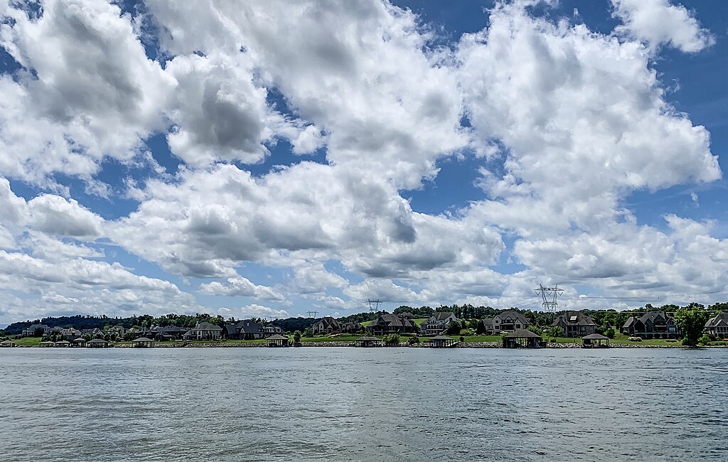
Fort Loudoun Lake
Holston River
Explore Tennessee waters
Top paddling waters
Popular Cities
Loading popular cities...
Explore near Emory River
Access points
Nearby waters
More in Tennessee

Smarter Paddling Starts in the App.
Paddleways gives you everything you need to plan smarter, paddle better, and own every trip from first launch to takeout.