Little Pigeon River
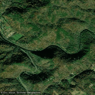
Little Pigeon River
- Boat Ramps
- 0
- Access Points
- 2
- Campsites
- 4
The Little Pigeon River is a scenic waterway that originates in the Great Smoky Mountains of eastern Tennessee. It flows northward for approximately 45 miles before joining the French Broad River near Sevierville. The river's watershed drains portions of Sevier, Cocke, and Blount counties. The Little Pigeon is formed by the confluence of its three main tributaries - the West Prong, Middle Prong, and East Prong - which come together near Sevierville. Each prong offers distinct paddling opportunities ranging from challenging whitewater to gentle float trips.
The West Prong features some of the most technical whitewater, with the upper section from Chimneys Picnic Area to Campbell Overlook offering continuous Class III-IV rapids over a steep 335 feet per mile gradient. Below this, the river mellows to Class II-III as it flows through Gatlinburg and on to Pigeon Forge. The Middle Prong contains the challenging Ramsey's section, a 1.7-mile Class IV-V run with a gradient reaching 308 feet per mile. Downstream, the Greenbrier section provides a more moderate Class III-IV experience. For less experienced paddlers, the Lower Pigeon section below Denton Bridge offers a family-friendly 5.5-mile stretch of Class I-II rapids.
The river's flow is generally most reliable in spring and fall, though summer thunderstorms can create ideal conditions. Winter paddling is possible but requires proper cold-water gear. The Little Pigeon and its surroundings support diverse Appalachian flora and fauna, including black bears, salamanders, and over 1,600 flowering plant species.
Key landmarks include the Chimneys Picnic Area, Sugarlands Visitor Center, and the towns of Gatlinburg and Pigeon Forge. Access points are numerous, with popular put-ins at Chimneys Picnic Area, Greenbrier, and various spots in Gatlinburg. Take-outs include Campbell Overlook, Pigeon Forge, and Denton Bridge.
Historically, the river played a vital role in the early settlement of the area and the timber industry. Today, it's an important recreational resource, drawing paddlers, anglers, and tourists to the region. Paddlers should be aware of potential hazards like strainers and fluctuating water levels. All boaters must adhere to Great Smoky Mountains National Park regulations when paddling within park boundaries. While primarily used for day trips, the river's various sections can be combined for multi-day adventures, allowing paddlers to experience the full range of difficulty and scenery the Little Pigeon has to offer.
Water access, boat ramps & amenities
Learn how to get on Little Pigeon River. Uncover great paddling access points, boat ramps, and all the facilities you need for an unforgettable day on the water. Some locations shown may border or include private property. Always check property boundaries and applicable regulations before visiting. PaddleWays's Public & Private Land layer can help you plan your access with confidence.
Paddle smarter with real-time insights
Whether you're en route and conditions shift or you're looking for the best spot based on current flows, we enable you to make informed decisions on the fly.








Find Places to Paddle

Over 400,000 Places to Paddle
Every user gets free access to launch points, boat ramps, and public property parcels.


Water and weather conditions (10 day forecast)
See the best times to paddle Little Pigeon River and check the forecast before you go.
LITTLE PIGEON RIVER AT SEVIERVILLE, TN
Paddling near Little Pigeon River

French Broad River
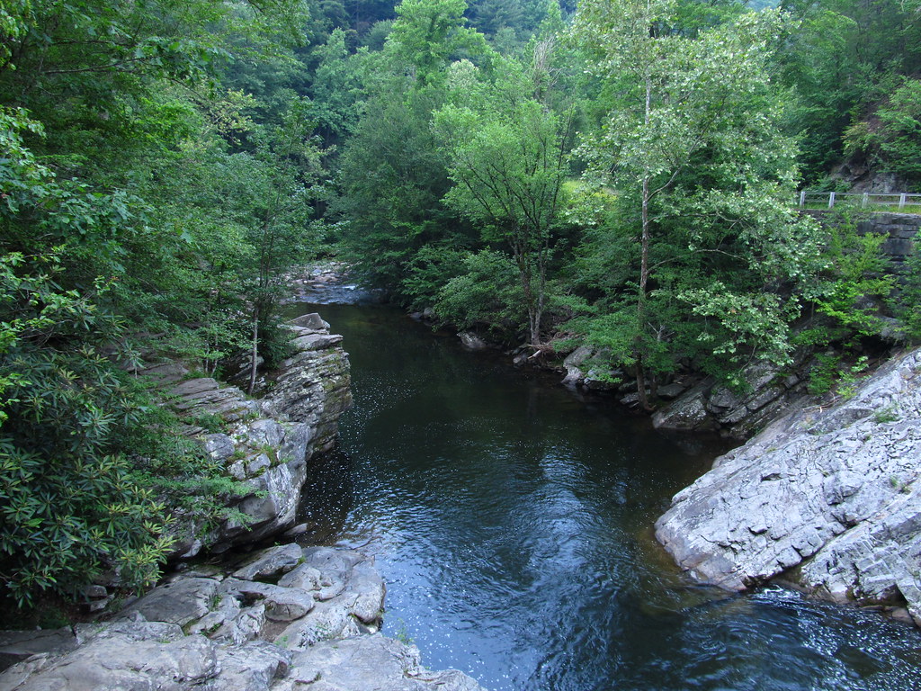
Little River

Tennessee River
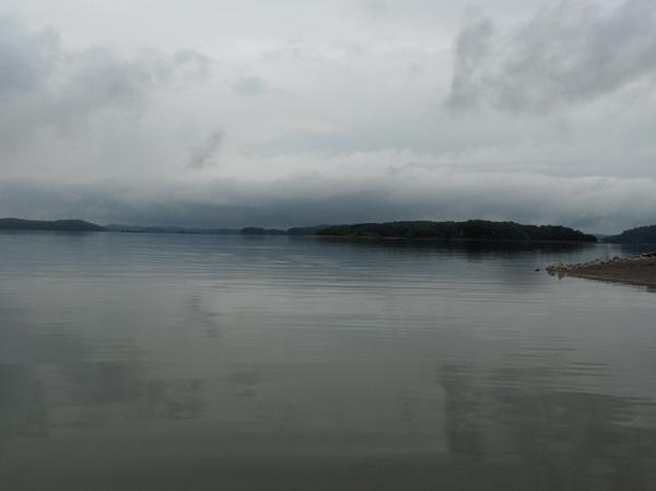
Douglas Lake
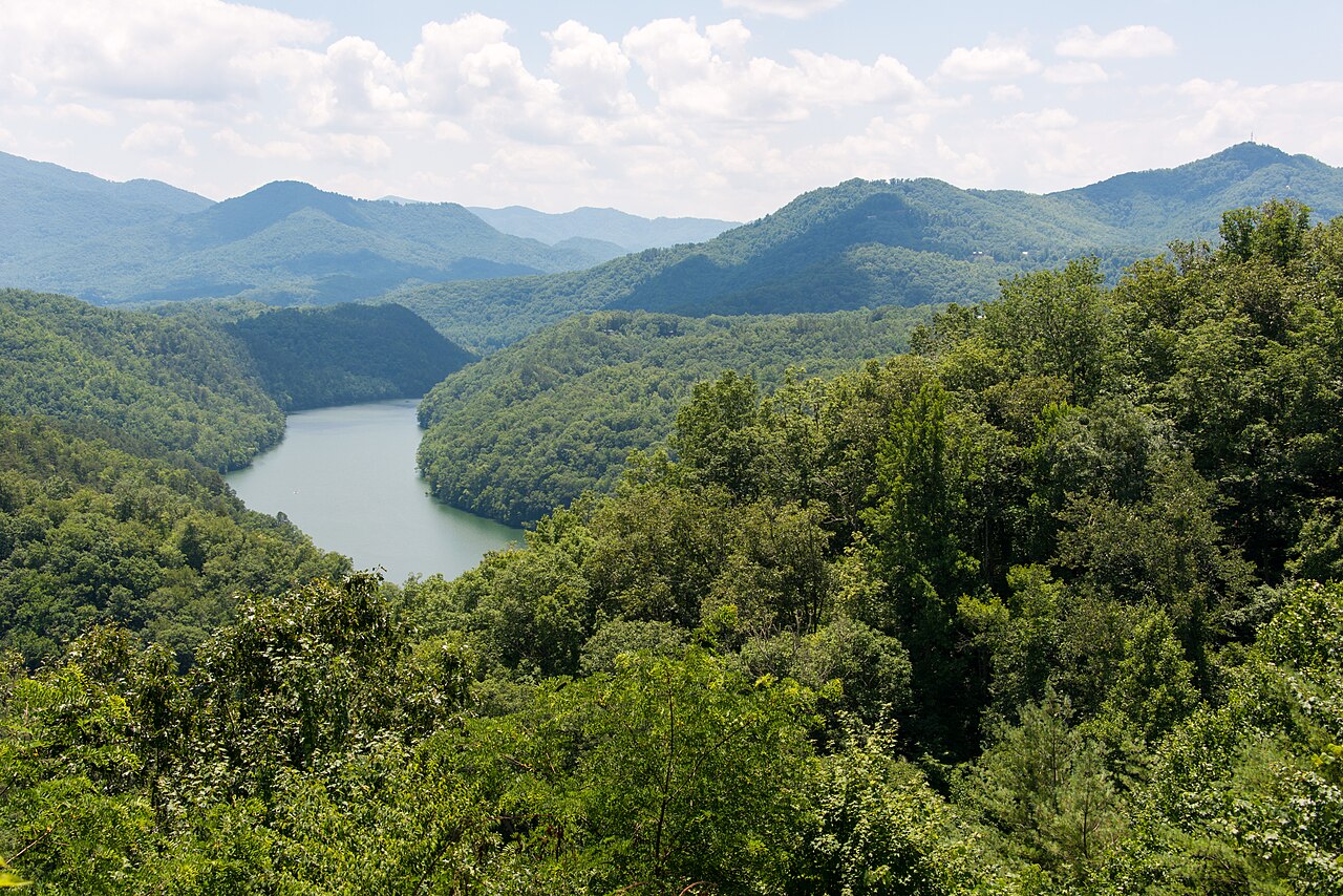
Tuckasegee River
Holston River

Little Tennessee River
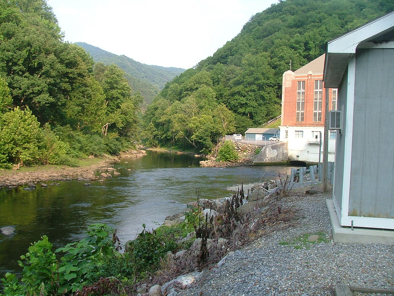
Pigeon River
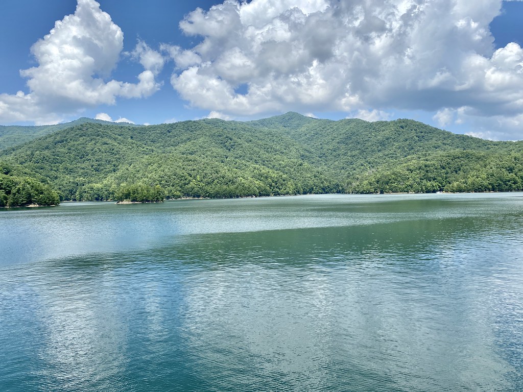
Fontana Lake
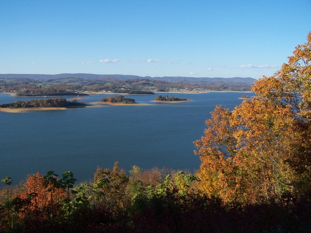
Cherokee Lake
Explore Tennessee waters
Top paddling waters
Popular Cities
Loading popular cities...
Explore near Little Pigeon River
Access points
Nearby waters
More in Tennessee

Smarter Paddling Starts in the App.
Paddleways gives you everything you need to plan smarter, paddle better, and own every trip from first launch to takeout.