Richland Creek
Richland Creek
- Boat Ramps
- 2
- Access Points
- 2
- Campsites
- 0
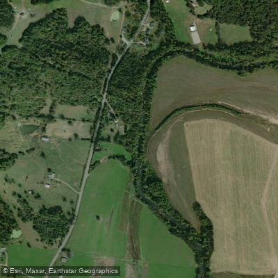
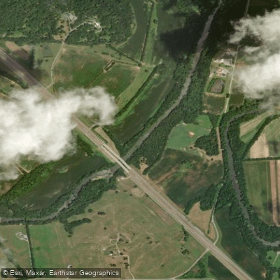
Richland Creek flows through the rolling terrain of south-central Tennessee, draining portions of Giles and Marshall Counties before joining the Elk River. This tributary system originates in the uplands and winds through a landscape characterized by limestone bedrock, agricultural valleys, and forested ridges typical of the Highland Rim and Outer Nashville Basin physiographic provinces. The creek's watershed encompasses approximately 488 square miles, with the stream itself meandering through a mix of pastureland, row crops, and deciduous forest. The underlying geology creates occasional karst features, and the stream supports a diverse aquatic community despite facing agricultural pressures common to Middle Tennessee waterways.
**Paddling Opportunities** Richland Creek offers limited but noteworthy paddling for experienced boaters. The most recognized section runs from Old Dayton Reservoir to Laurel Snow State Natural Area or the Back Valley Road Bridge, covering approximately 1.25 miles of technical whitewater. This stretch is classified as Class IV to IV+ with some features approaching Class V difficulty, making it suitable only for advanced paddlers with solid whitewater skills. The run features continuous rapids with significant gradient—approximately 174 feet per mile—requiring precise boat control and quick decision-making. Key rapids include Timber Rattler near the top, which presents a substantial hole that varies in character depending on water levels, and Weirdo near the takeout, a long rapid culminating in a powerful hydraulic feature.
**Seasonal Considerations** Water levels are highly seasonal, with the creek running primarily during winter and spring following substantial rainfall. The stream requires at least an inch of recent precipitation to become runnable, with optimal flows occurring after 2-3 inches of rain. Gauge readings between -1 foot and 1.6 feet at the takeout provide workable conditions, though higher flows create more powerful hydraulics.
**Access and Logistics** Access involves hiking upstream from the takeout at Laurel Snow State Natural Area or Back Valley Road Bridge to the put-in at Old Dayton Reservoir—approximately 20 minutes of trail hiking. This hike-to-boat ratio makes the run popular among local paddlers seeking a short but intense whitewater experience. The nearest significant town is Dayton in Rhea County, though the watershed extends into Giles and Marshall Counties upstream.
**Conservation Notes** The creek has been recognized in the Tennessee Rivers Assessment Project for its natural and scenic qualities, as well as recreational boating opportunities. Water quality monitoring occurs periodically, with agricultural runoff representing the primary management concern in the broader watershed.
Water access, boat ramps & amenities
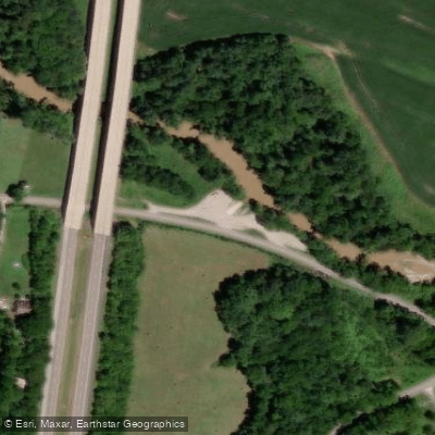
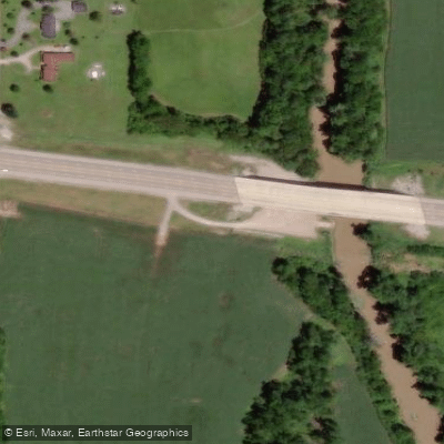
Learn how to get on Richland Creek. Uncover great paddling access points, boat ramps, and all the facilities you need for an unforgettable day on the water. Some locations shown may border or include private property. Always check property boundaries and applicable regulations before visiting. PaddleWays's Public & Private Land layer can help you plan your access with confidence.
Paddle smarter with real-time insights
Whether you're en route and conditions shift or you're looking for the best spot based on current flows, we enable you to make informed decisions on the fly.








Find Places to Paddle

Over 400,000 Places to Paddle
Every user gets free access to launch points, boat ramps, and public property parcels.


Water and weather conditions (10 day forecast)
See the best times to paddle Richland Creek and check the forecast before you go.
RICHLAND CREEK AT HWY 64 BYPASS AT PULASKI, TN
Paddling near Richland Creek
Duck River
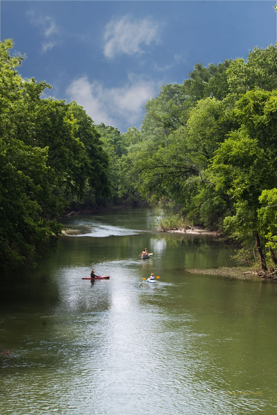
Harpeth River
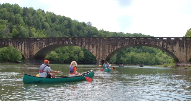
Cumberland River
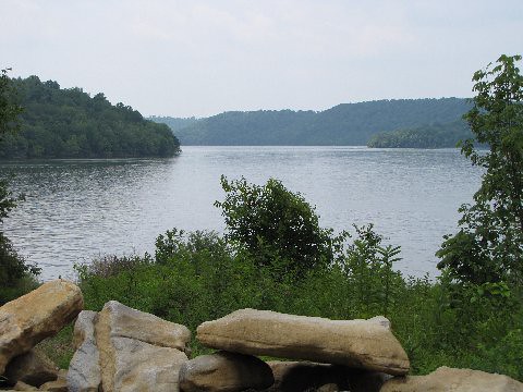
Tims Ford Lake
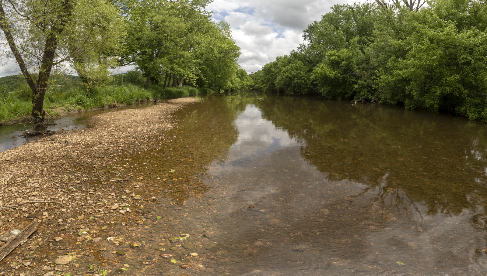
Stones River
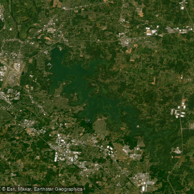
J Percy Priest Reservoir
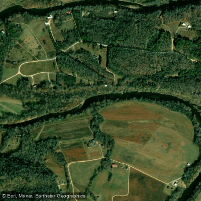
Buffalo River
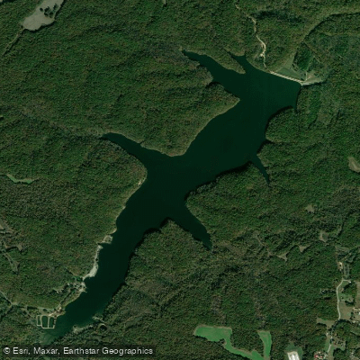
Laurel Hill Lake
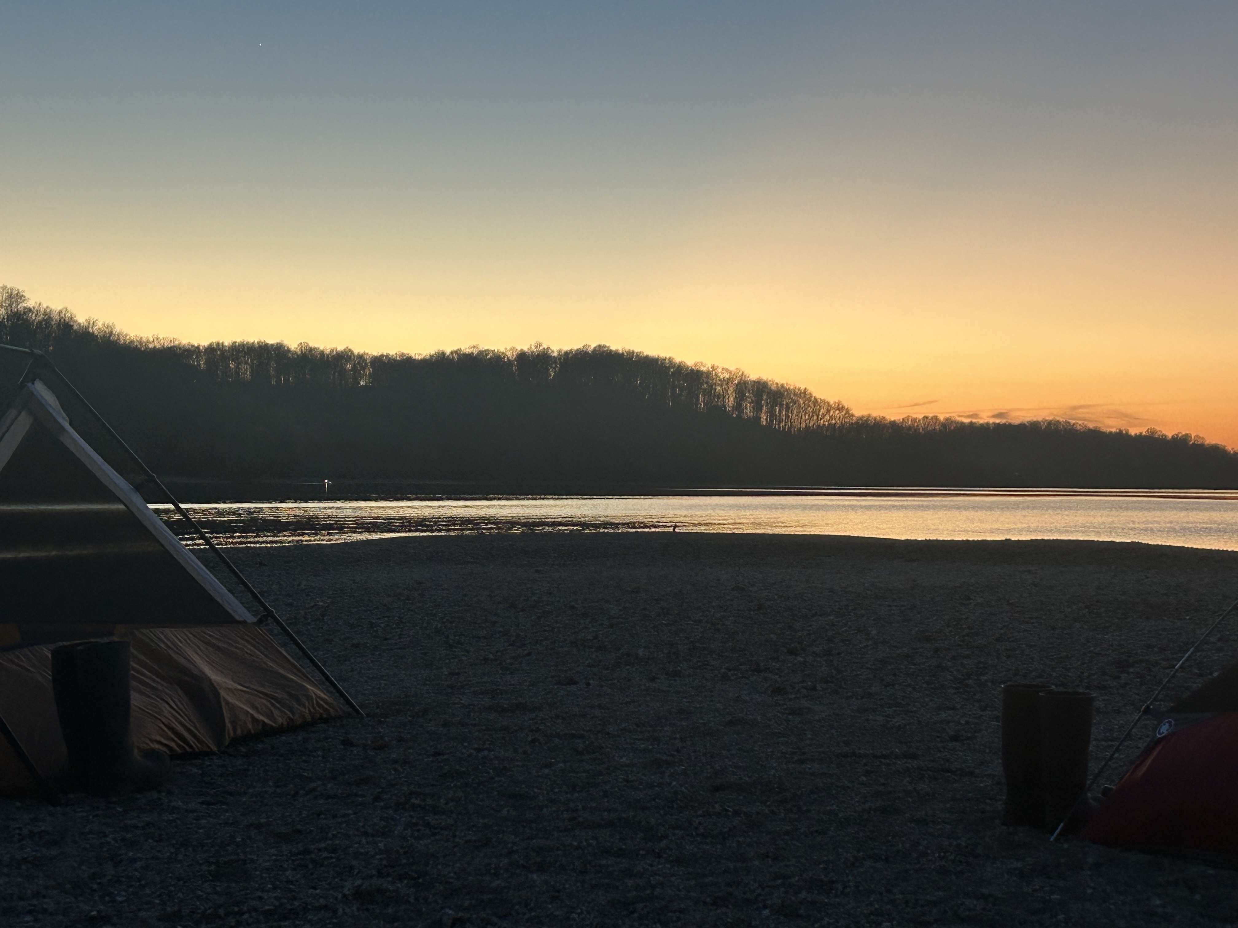
Normandy Lake
Elk River
Explore Tennessee waters
Top paddling waters
Popular Cities
Loading popular cities...
Explore near Richland Creek

Smarter Paddling Starts in the App.
Paddleways gives you everything you need to plan smarter, paddle better, and own every trip from first launch to takeout.