Normandy Lake
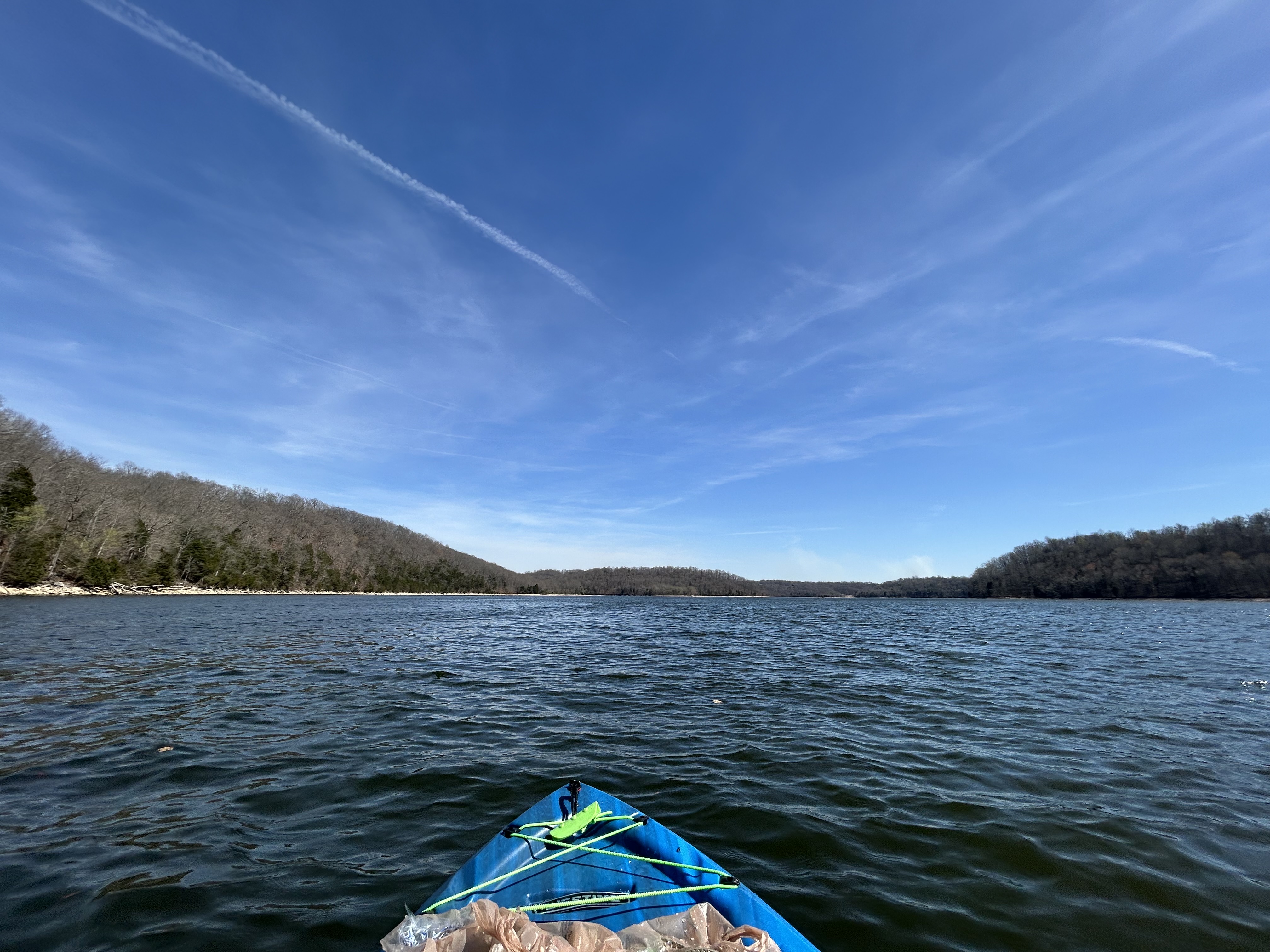
Normandy Lake
- Boat Ramps
- 5
- Access Points
- 9
- Campsites
- 4
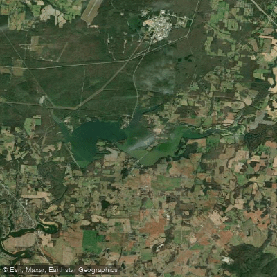
Normandy Lake is a 3,048-acre reservoir located in south-central Tennessee, primarily in Coffee County. Completed in 1976, the lake has a full pool elevation of 875 feet above sea level and a winter pool elevation of 864 feet. The Tennessee Valley Authority (TVA) owns and operates the reservoir.
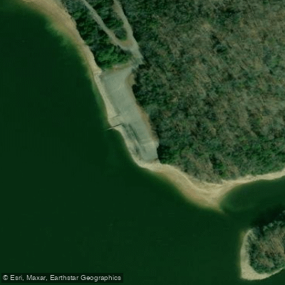
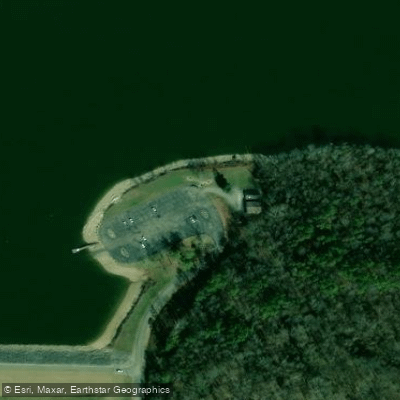
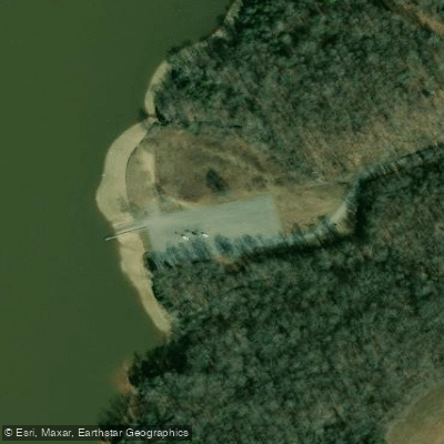
Four public boat access sites are available at no cost: Wards Chapel, Barton Springs, Boyds Branch, and Normandy Dam. The Barton Springs access site features two public fishing piers. Bank fishing access is available at the Normandy Dam site.
Paddlers should be aware of the lake's seasonal water level fluctuations. TVA provides daily water level information through their website and mobile app. The lake experiences thermal stratification during summer months, with the thermocline typically occurring between 12-15 feet deep in the lower reservoir and 10-12 feet in the upper section.
Normandy Lake supports diverse fish populations, including largemouth bass, spotted bass, crappie, and walleye. Thirty-five fish attractor sites maintained by the Tennessee Wildlife Resources Agency (TWRA) are scattered throughout the lake, potentially creating submerged hazards for paddlers.
The lake's environment changes seasonally. In early spring, particularly April, fish move to shallow areas. During summer, fish tend to occupy deeper waters. Night fishing with lights to attract baitfish is popular in summer months, especially near the Barton Springs Bridge.
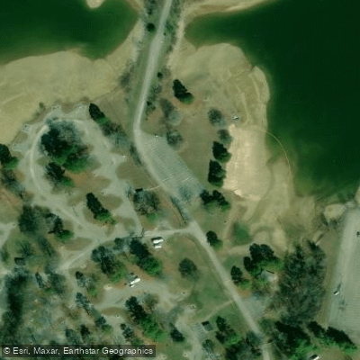
Two campgrounds, Barton Springs and Cedar Point, are managed by TVA near the lake. Paddlers should be prepared for potential interactions with motorized boat traffic, especially during peak fishing seasons.
Water access, boat ramps & amenities
Learn how to get on Normandy Lake. Uncover great paddling access points, boat ramps, and all the facilities you need for an unforgettable day on the water. Some locations shown may border or include private property. Always check property boundaries and applicable regulations before visiting. PaddleWays's Public & Private Land layer can help you plan your access with confidence.
Paddle smarter with real-time insights
Whether you're en route and conditions shift or you're looking for the best spot based on current flows, we enable you to make informed decisions on the fly.








Find Places to Paddle

Over 400,000 Places to Paddle
Every user gets free access to launch points, boat ramps, and public property parcels.


Water and weather conditions (10 day forecast)
See the best times to paddle Normandy Lake and check the forecast before you go.
No forecast data available.
Paddling near Normandy Lake
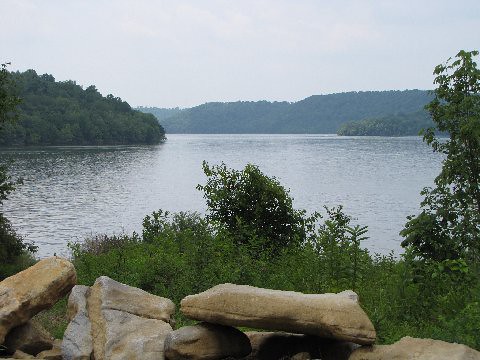
Tims Ford Lake
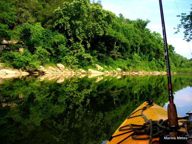
Duck River

Tennessee River
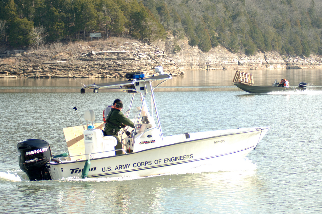
Center Hill Lake
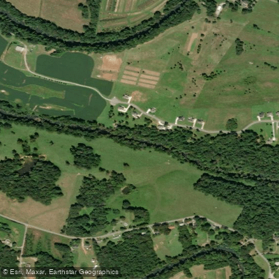
Collins River
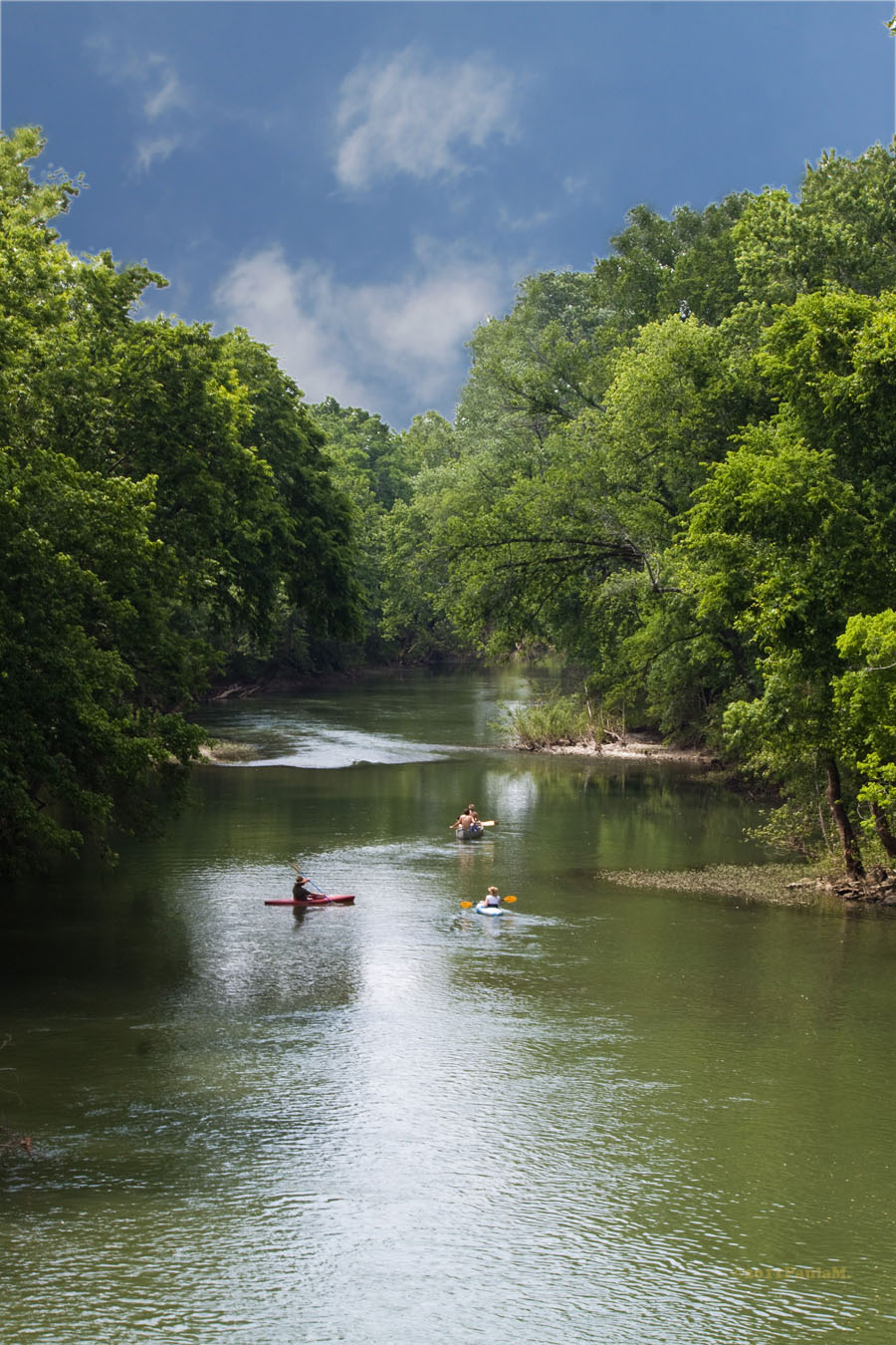
Harpeth River
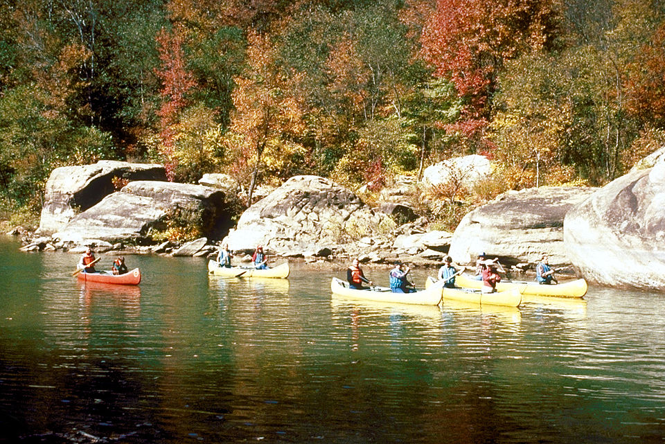
Caney Fork
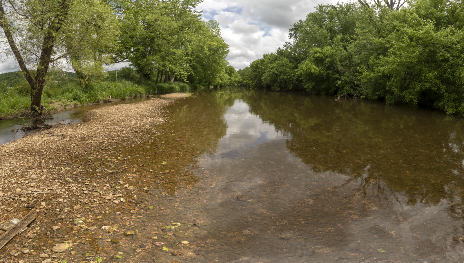
Stones River
Woods Reservoir
Explore Tennessee waters
Top paddling waters
Popular Cities
Loading popular cities...
Explore near Normandy Lake
Access points
Nearby waters
More in Tennessee

Smarter Paddling Starts in the App.
Paddleways gives you everything you need to plan smarter, paddle better, and own every trip from first launch to takeout.