Tims Ford Lake
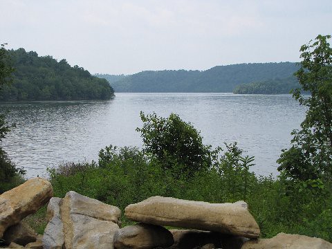
Tims Ford Lake
- Boat Ramps
- 10
- Access Points
- 12
- Campsites
- 17
Tims Ford Lake in south-central Tennessee offers paddlers a scenic 34-mile long reservoir with 240 miles of shoreline to explore. The lake is known for its picturesque views and clear waters, making it popular for kayaking and canoeing. Several access points are available, including the Lake View Marina and Devil's Step boat launch off Fairview Road.
The eastern end of the lake has a more riverine character with nice coves to explore, while the western portion near the dam is more open. Paddlers should be aware that boat traffic can create choppy conditions, particularly on weekends. Strong north winds down Hurricane Creek can also pose a challenge at times.
For a day trip, consider the "2 Island run" near the dam - a 3-mile open water paddle that provides a good test of skills. More experienced paddlers might attempt the 13-mile round trip from the east end to Lake View Marina. Six islands on the lake allow primitive camping with a permit.
The lake supports a variety of wildlife and is known for excellent bass fishing. Water temperatures are typically suitable for swimming in summer months. Facilities for paddlers include the Lake View Marina, which offers kayak and canoe rentals, as well as snacks and a fish-cleaning station.
Tims Ford State Park borders much of the lake, providing additional amenities like campgrounds, cabins, and hiking trails. The park office can provide information on any paddling regulations or required permits. While powerboats are common on the lake, most paddlers report relatively few issues with wake or harassment from other boaters.
For the best experience, consider paddling on weekdays or early mornings when boat traffic is lighter. Spring and fall offer pleasant temperatures and beautiful scenery as the surrounding hills change colors.
Water access, boat ramps & amenities
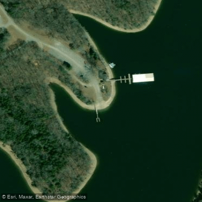
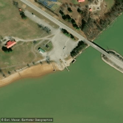
Learn how to get on Tims Ford Lake. Uncover great paddling access points, boat ramps, and all the facilities you need for an unforgettable day on the water. Some locations shown may border or include private property. Always check property boundaries and applicable regulations before visiting. PaddleWays's Public & Private Land layer can help you plan your access with confidence.
Paddle smarter with real-time insights
Whether you're en route and conditions shift or you're looking for the best spot based on current flows, we enable you to make informed decisions on the fly.








Find Places to Paddle

Over 400,000 Places to Paddle
Every user gets free access to launch points, boat ramps, and public property parcels.


Water and weather conditions (10 day forecast)
See the best times to paddle Tims Ford Lake and check the forecast before you go.
No forecast data available.
Paddling near Tims Ford Lake
Duck River

Tennessee River
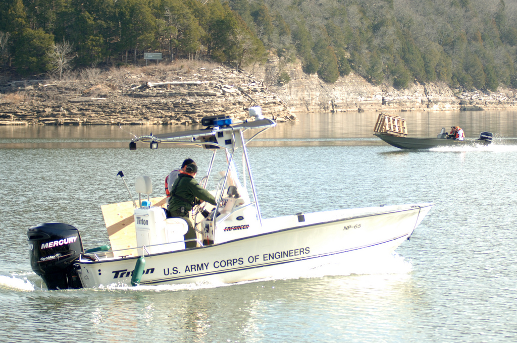
Center Hill Lake
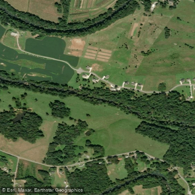
Collins River
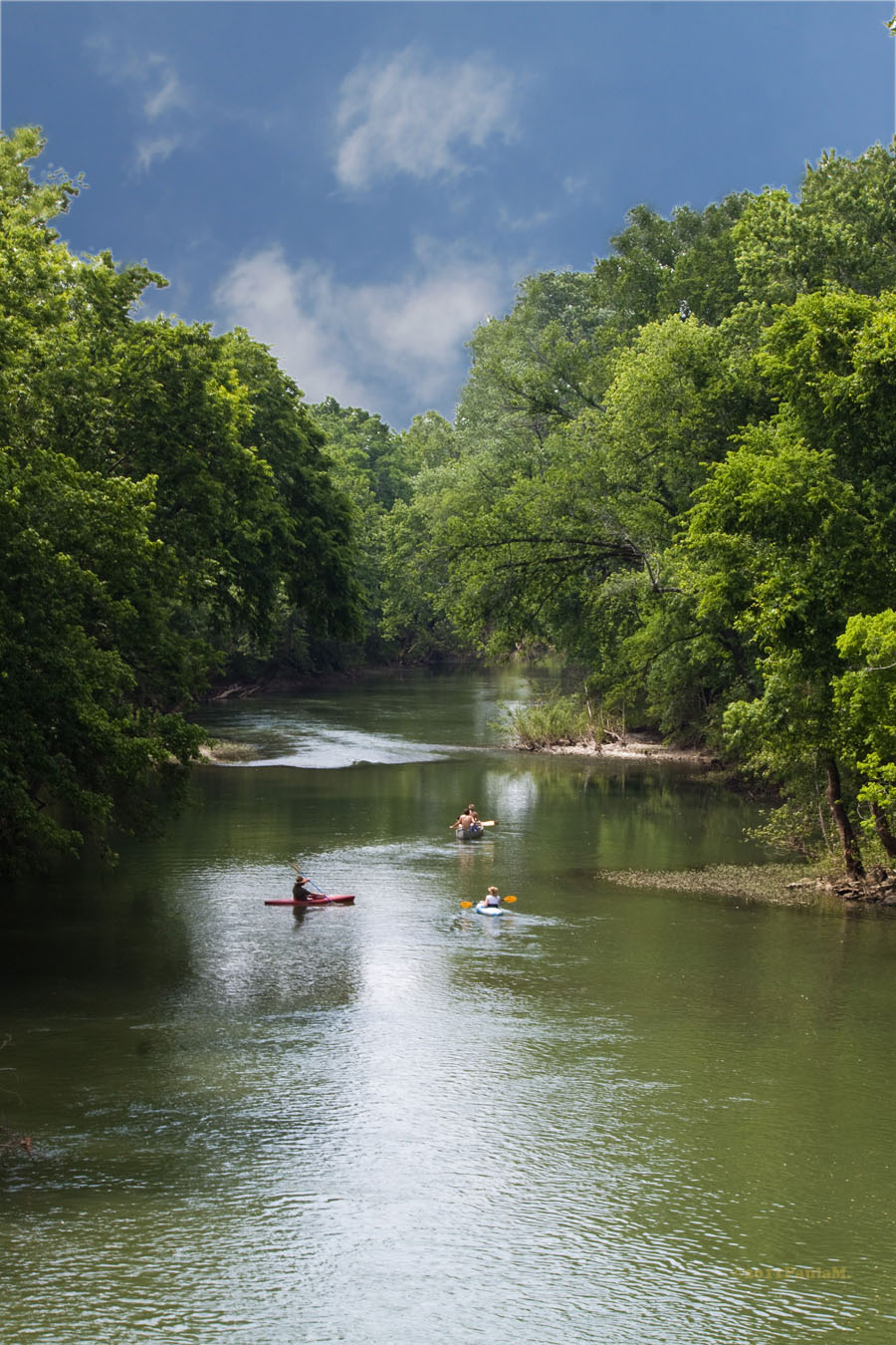
Harpeth River
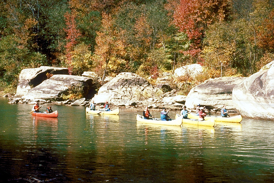
Caney Fork
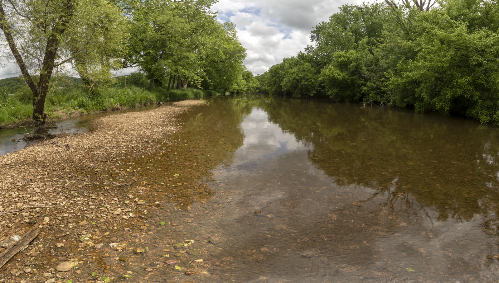
Stones River
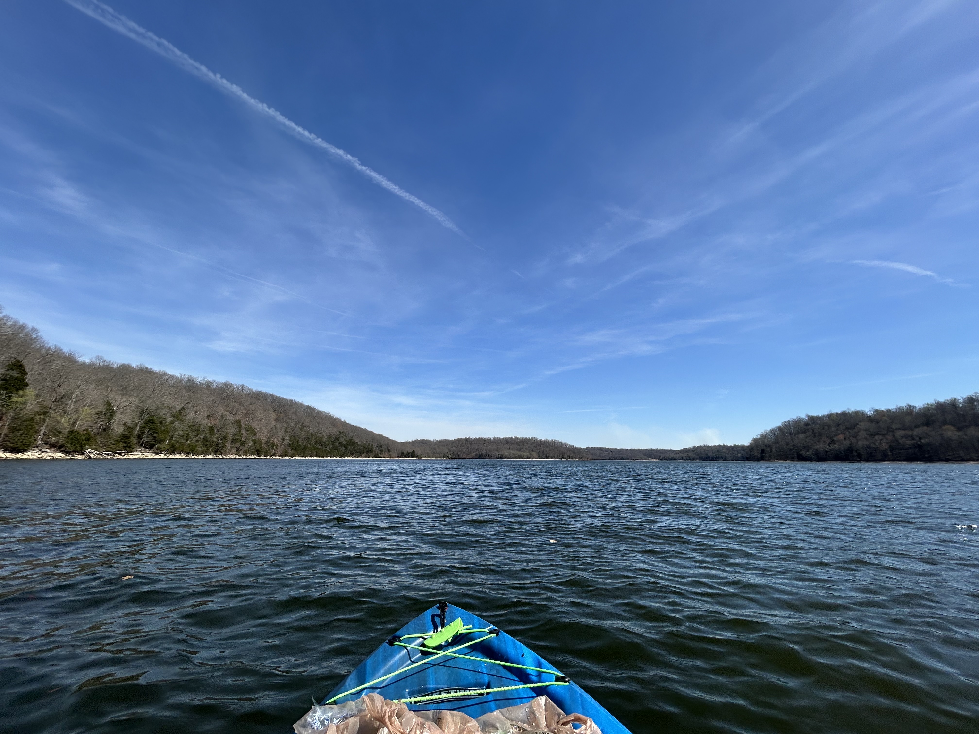
Normandy Lake
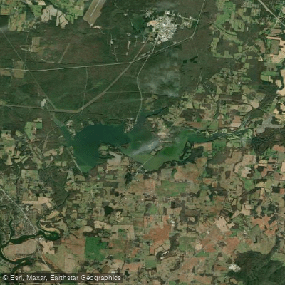
Woods Reservoir
Explore Tennessee waters
Top paddling waters
Popular Cities
Loading popular cities...
Explore near Tims Ford Lake
Access points
- Lost Creek Boat Ramp
- Tims Ford State Park Marina Boat Ramp
- Estill Springs Park Boat Ramp
- Devils Step Boat Ramp
- TVA Dam Boat Ramp
- Anderton Branch Boat Ramp
- Rock Creek Boat Ramp
- Winchester City Boat Ramp
- Woodland Point Boat Ramp
- Estill Springs Park Boat Ramp
- Tims Ford State Park Marina Access
- Bass Club Access
- All 29 spots
Nearby waters
More in Tennessee

Smarter Paddling Starts in the App.
Paddleways gives you everything you need to plan smarter, paddle better, and own every trip from first launch to takeout.