Rock Creek
Rock Creek
- Boat Ramps
- 0
- Access Points
- 2
- Campsites
- 1
Rock Creek flows through the rugged terrain of Morgan County, Tennessee, carving its way through the Cumberland Plateau before joining the Emory River. This tributary system forms part of the Obed Wild and Scenic River watershed, contributing to one of the last free-flowing river systems in the eastern United States. The creek descends through forested landscape, creating a narrow gorge environment characterized by sandstone bluffs and boulder-strewn channels.
The primary paddling opportunity on Rock Creek extends from the Retro Hughes Road area downstream to the Leggett Road bridge, covering approximately 5.4 miles of whitewater. This section features Class II to Class IV rapids, with the gradient averaging 92.5 feet per mile overall, intensifying to 126.5 feet per mile for a 2.3-mile stretch below where the Cumberland Trail crosses the creek. The upper portion begins on Hall Creek before its confluence with Rock Creek proper, where the flow more than doubles. Notable rapids include technical drops with names reflecting their challenging nature, featuring off-angle holes, pinch points, and ledges requiring precise boat placement.
Paddlers should possess intermediate to advanced whitewater skills, as the creek demands competent boat control and the ability to read complex hydraulics. Low water conditions create a technical, rock-dodging experience, while higher flows generate powerful holes and hydraulics. The creek typically runs during winter and spring months following significant rainfall, with water levels monitored at the Leggett Road bridge. At optimal flows, the creek provides continuous Class III-IV whitewater through a scenic gorge setting.
The surrounding forest supports typical Cumberland Plateau vegetation, with mixed hardwoods and hemlocks creating a shaded corridor. The sandstone geology produces dramatic vertical walls and boulder fields that attract rock climbers to adjacent areas of the Obed system.
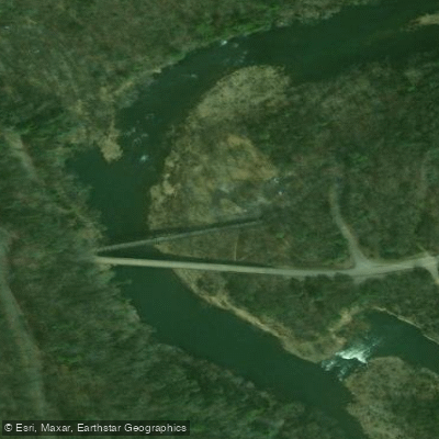
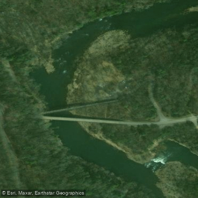
Access points include the Retro Hughes Road trailhead for put-in and two options at Leggett Road: an upper trailhead requiring a short hike to the creek, and a lower trailhead with paved, accessible facilities. The nearest town is Wartburg, located several miles west, which serves as the staging area for Morgan County outdoor recreation.
Rock Creek falls within the Obed Wild and Scenic River system, managed by the National Park Service since 1976. The designation protects the free-flowing character and primitive landscape that has remained largely unchanged since pre-settlement times.
Paddlers must exercise caution regarding wood hazards, particularly in the upper Hall Creek section, and should scout several technical drops before running them. The remote gorge setting means self-rescue capability is essential, as assistance may be hours away.
Water access, boat ramps & amenities
Learn how to get on Rock Creek. Uncover great paddling access points, boat ramps, and all the facilities you need for an unforgettable day on the water. Some locations shown may border or include private property. Always check property boundaries and applicable regulations before visiting. PaddleWays's Public & Private Land layer can help you plan your access with confidence.
Paddle smarter with real-time insights
Whether you're en route and conditions shift or you're looking for the best spot based on current flows, we enable you to make informed decisions on the fly.








Find Places to Paddle

Over 400,000 Places to Paddle
Every user gets free access to launch points, boat ramps, and public property parcels.


Water and weather conditions (10 day forecast)
See the best times to paddle Rock Creek and check the forecast before you go.
No forecast data available.
Paddling near Rock Creek

Tennessee River
Clinch River
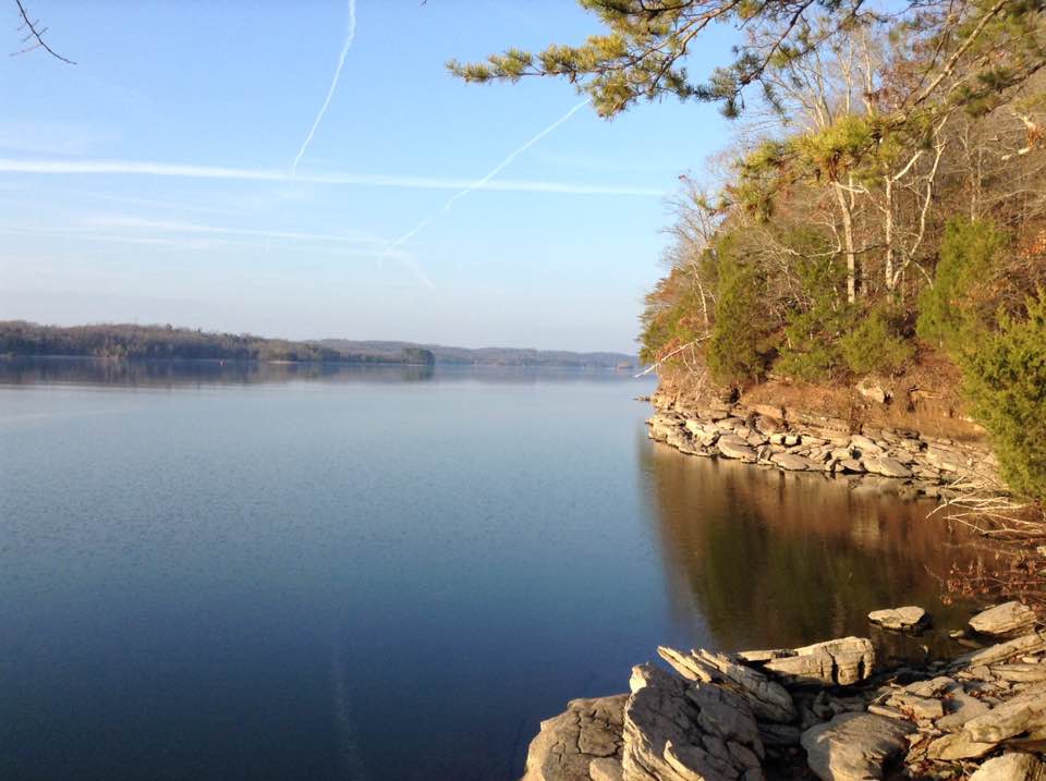
Watts Bar Lake
Big South Fork Cumberland River
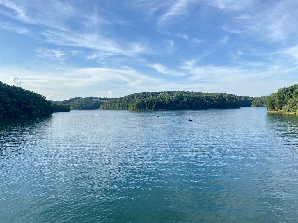
Norris Lake

Little Tennessee River
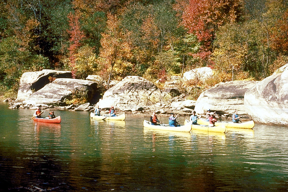
Caney Fork
Tellico Lake
Fort Loudoun Lake
Holston River
Explore Tennessee waters
Top paddling waters
Popular Cities
Loading popular cities...
Explore near Rock Creek

Smarter Paddling Starts in the App.
Paddleways gives you everything you need to plan smarter, paddle better, and own every trip from first launch to takeout.