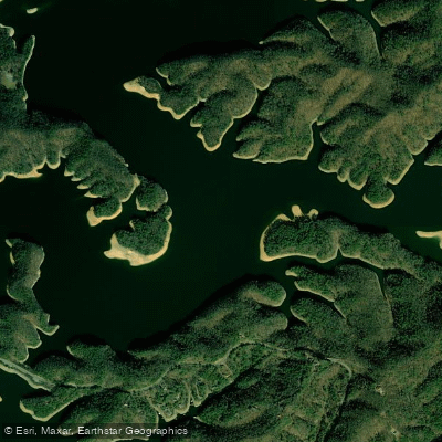
Curated by PaddleWays
RouteClass I–II
- Distance
- 17.6 mi
- Paddle time
- ~6 hrs
- Best for
- Intermediate paddlers
- Put-in → take-out
- Emmett Bridge Boat Ramp → Rainbow Bridge Access
The South Fork Holston River is a significant waterway flowing through southwestern Virginia and northeastern Tennessee. Originating in Smyth County, Virginia, it flows generally southwest, joining the Middle Fork Holston River near Kingsport, Tennessee, to form the main stem of the Holston River. The South Fork is approximately 112 miles long and is a major tributary of the Tennessee River system.
Paddling opportunities on the South Fork Holston are diverse and cater to various skill levels. The river offers several notable sections, including the popular 3.8-mile stretch from Damascus to Alvarado in Virginia, featuring class II+ rapids with some class III sections. This run is suitable for intermediate paddlers and various watercraft. Further downstream, the 10-mile section from South Holston Dam to Boone Lake in Tennessee provides a more relaxed experience with class I-II rapids, ideal for beginners and touring boats. The overall difficulty of the South Fork Holston ranges from flatwater to class III, with most sections falling in the class I-II range. Skill requirements vary, but many sections are suitable for intermediate paddlers with some whitewater experience.
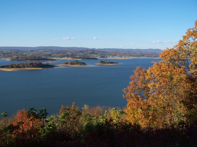
While the river can be paddled year-round, spring and early summer typically offer the best water levels. Fall provides beautiful scenery with changing foliage, but paddlers should be aware of potential low water conditions.
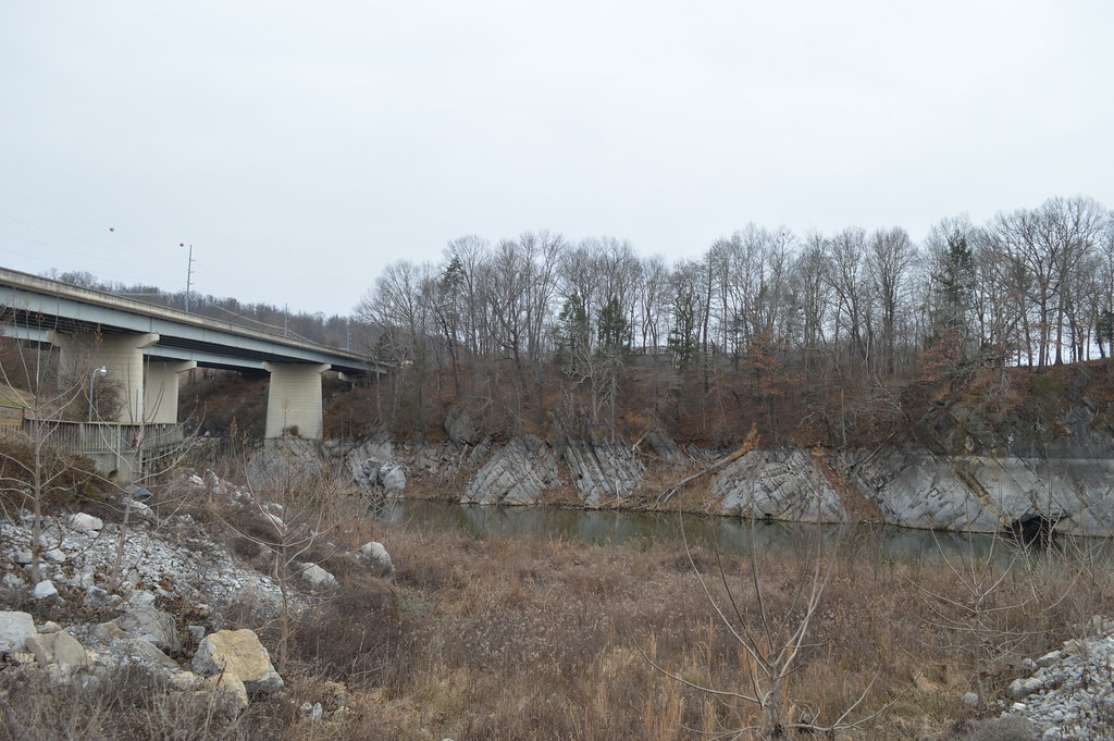
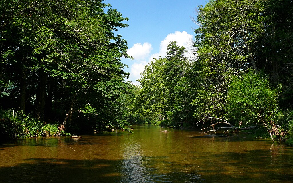
The river corridor supports diverse flora and fauna, including various fish species that make it popular for anglers. Paddlers may spot wildlife such as herons, osprey, and occasionally bald eagles. Key landmarks include the South Holston Dam, Fort Patrick Henry Dam, and the scenic limestone and dolomite cliffs near Kingsport. The river passes through or near several towns, including Damascus and Abingdon in Virginia, and Kingsport and Bristol in Tennessee, providing multiple access points for paddlers.
Historically, the South Fork Holston played a crucial role in the region's development, supporting early settlements and later becoming important for hydroelectric power generation. Today, it's a valuable recreational resource, with the Holston River Blueway offering a 52-mile paddling trail from Cherokee Dam to Knoxville.
Safety considerations include checking water release schedules from dams, as sudden changes in flow can occur. Paddlers should also be aware of potential strainers and low-head dams in some sections.
For those interested in multi-day trips, the river offers opportunities to combine several sections, particularly in the lower reaches where calmer waters prevail. Camping options are available along some stretches, allowing for extended adventures on this scenic Appalachian waterway.
Curated routes
Hand-picked by the PaddleWays team, with put-ins, take-outs, paddle times and the hazards along the way.
RouteClass I–II
Hazards
Reported by paddlers, with the dams, falls and big rapids on our map. Hazards change with flows and storms, so check them before you launch.
DamKingsport
No details were given with this report.
From the community
Nobody has shared a trip on South Fork Holston River yet. Paddle it, then tell the next paddler how it went.
See exactly where the public can get on and off the river. Launch points and boat ramps are paired with PaddleWays' public land data so you know where you can legally land.
Public shoreline
7%of the river's shoreline is public
Most of the riverbank is private. Launch, land and camp only at public access points.
Flows, weather and a route-by-route verdict, so you know which stretch of the South Fork Holston River is worth paddling today.
All Flow Stations
Live flows, marked hazards and fresh trip reports from paddlers who were just on the water, all in one place.





Every user gets free access to launch points, boat ramps, and public property parcels.
Loading popular cities...
PaddleWays gives you everything you need to plan smarter, paddle better, and own every trip from first launch to takeout.