North Fork Kentucky River
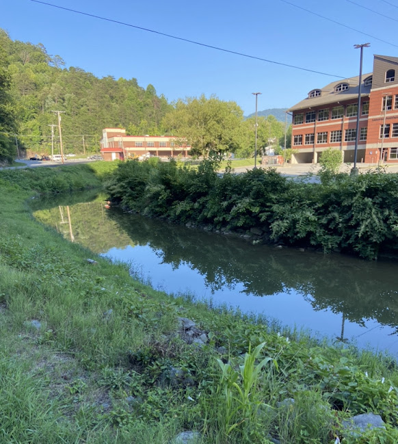
North Fork Kentucky River
- Boat Ramps
- 6
- Access Points
- 8
- Campsites
- 6
The North Fork Kentucky River is a major tributary of the Kentucky River, originating in the Appalachian Mountains of eastern Kentucky. It flows generally northwest for approximately 168 miles before joining the Middle Fork and South Fork to form the main stem of the Kentucky River near Beattyville. The river drains a watershed of about 1,290 square miles, characterized by steep forested hills and narrow valleys.
Paddling opportunities abound on the North Fork, with several distinct sections offering a range of experiences. The upper reaches near Hazard provide more challenging whitewater, while the lower sections offer a mix of gentle rapids and flatwater suitable for novice paddlers. The overall difficulty ranges from Class I to II, with some Class II+ rapids at higher water levels. The most popular paddling section is the 4.8-mile North Fork River Trail from Hazard to Perry County Park, an easy half-day trip. Longer multi-day adventures are possible, such as the 55-mile stretch from Perry County Park to Douthitt Park in Jackson.
Spring and fall are ideal paddling seasons, with consistent water levels and pleasant temperatures. Summer can offer enjoyable trips, though water levels may be lower. Winter paddling is possible but requires cold-water gear and experience.
The river corridor supports diverse wildlife, including bald eagles, herons, and various fish species. Anglers prize the river for its smallmouth bass, rock bass, and catfish. The surrounding forests showcase the rich biodiversity of the Appalachian region.
Key access points include Watts Ramp, Hazard City Ramp, Perry County Park Ramp, Douthitt Park Ramp in Jackson, Roy Spencer Ramp, and Beattyville Ramp. These provide well-spaced put-in and take-out options for trips of varying lengths.
Historically, the North Fork played a crucial role in the region's timber and coal industries. Today, it serves as a vital recreational resource and a symbol of eastern Kentucky's natural heritage.
Paddlers should be aware of potential hazards such as strainers and fluctuating water levels. Check current river conditions and follow all local regulations, including life jacket requirements. For those seeking a multi-day adventure, the full 126.4-mile journey from Watts to Beattyville offers an immersive experience through the heart of Kentucky's Appalachian region, showcasing the area's natural beauty and cultural significance.
Water access, boat ramps & amenities
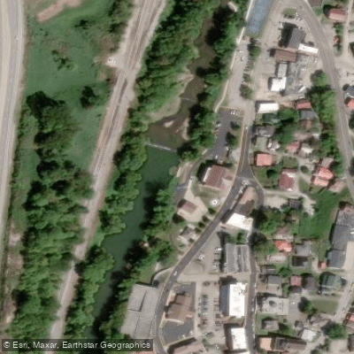
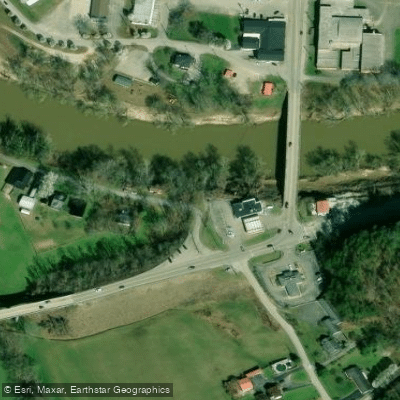
Learn how to get on North Fork Kentucky River. Uncover great paddling access points, boat ramps, and all the facilities you need for an unforgettable day on the water. Some locations shown may border or include private property. Always check property boundaries and applicable regulations before visiting. PaddleWays's Public & Private Land layer can help you plan your access with confidence.
Paddle smarter with real-time insights
Whether you're en route and conditions shift or you're looking for the best spot based on current flows, we enable you to make informed decisions on the fly.








Find Places to Paddle

Over 400,000 Places to Paddle
Every user gets free access to launch points, boat ramps, and public property parcels.


Water and weather conditions (10 day forecast)
See the best times to paddle North Fork Kentucky River and check the forecast before you go.
NORTH FORK KENTUCKY RIVER AT WHITESBURG, KY
All Flow Stations
Paddling near North Fork Kentucky River
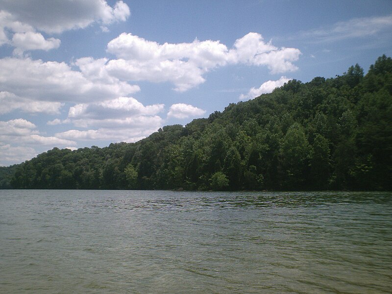
Herrington Lake
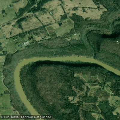
Kentucky River
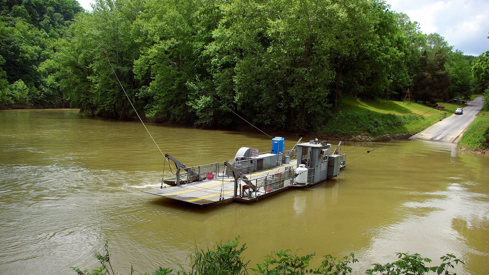
Green River
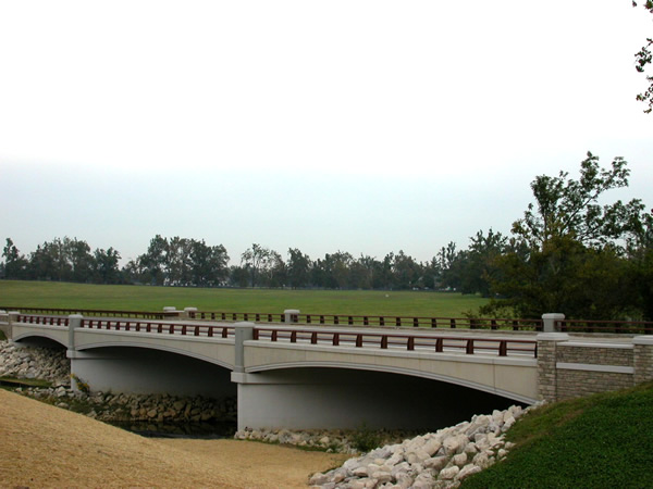
North Elkhorn Creek
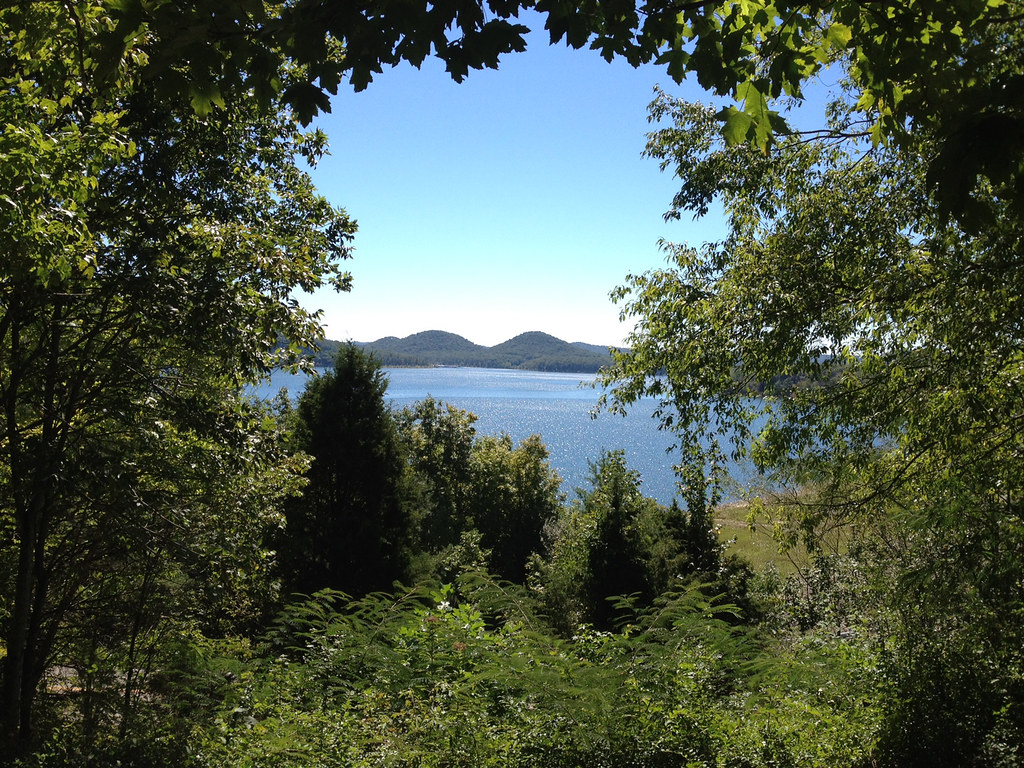
Cave Run Lake
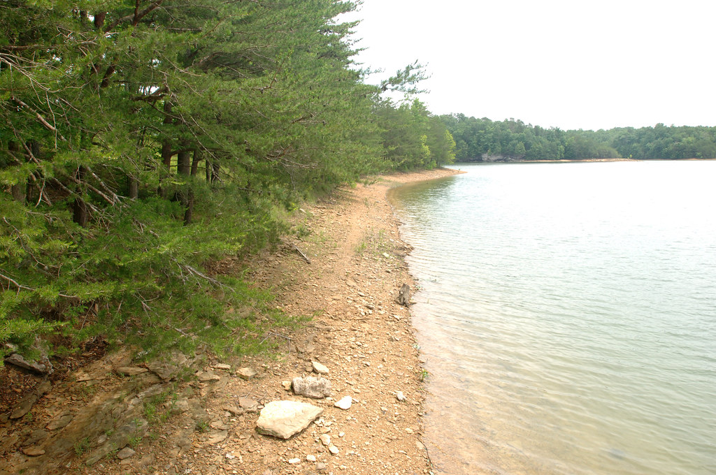
Laurel River Lake
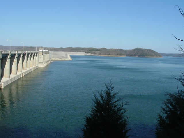
Lake Cumberland
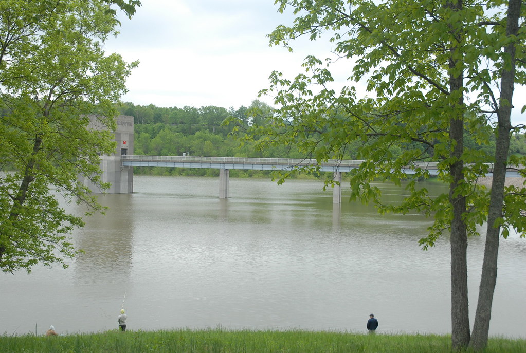
Taylorsville Lake
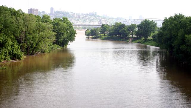
Licking River
Explore Kentucky waters
Top paddling waters
Popular Cities
Loading popular cities...
Explore near North Fork Kentucky River
Access points
Nearby waters
More in Kentucky

Smarter Paddling Starts in the App.
Paddleways gives you everything you need to plan smarter, paddle better, and own every trip from first launch to takeout.