Curated by PaddleWays
RouteClass I–II
- Distance
- 7.9 mi
- Paddle time
- ~2.5 hrs
- Best for
- Kayak
- Put-in → take-out
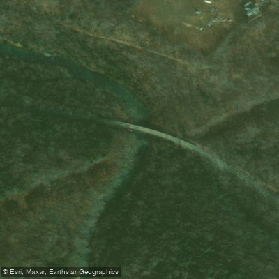
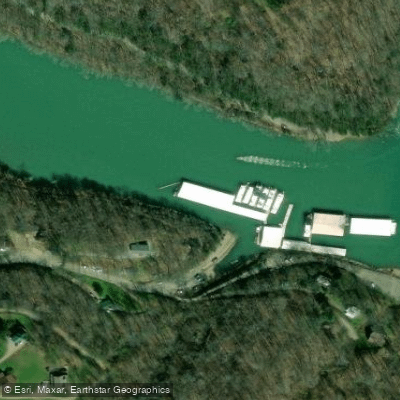
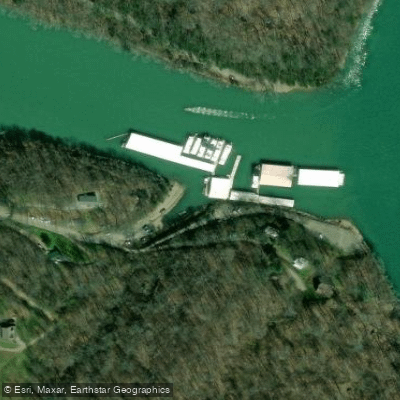
- Highway 52 Bridge Access → East Port Dock Access
Undercut rocks in upstream sections
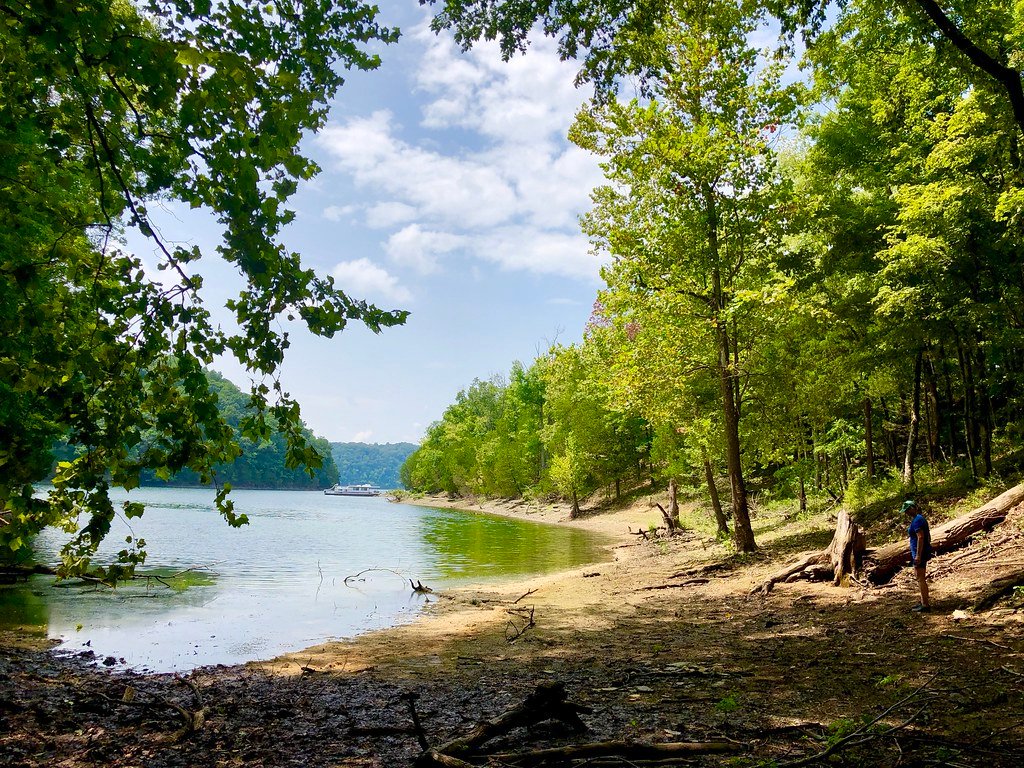
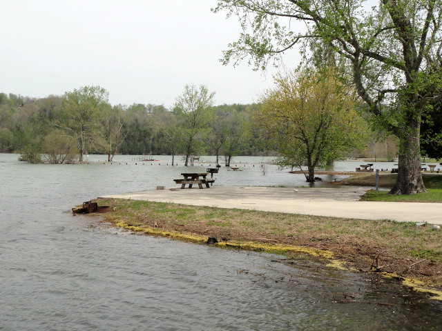
The West Fork Obey River originates in the Cumberland Plateau of Tennessee, flowing generally eastward before joining the East Fork to form the main stem of the Obey River. This pristine waterway carves through scenic gorges and forested valleys in Overton and Pickett counties before emptying into Dale Hollow Lake. Paddlers can enjoy several distinct sections of the West Fork, ranging from exhilarating whitewater to tranquil flatwater.
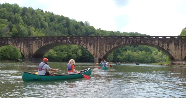
The upper reaches offer the most challenging whitewater, with the 6-mile Alpine Section from Puncheon Camp Creek to Highway 52 Bridge featuring Class II-III rapids and an average gradient of 22 feet per mile. This technical run requires solid whitewater skills to navigate numerous undercut rocks and small waterfalls. Downstream, the river mellows into Class I-II water suitable for intermediate paddlers. An 8-mile stretch from Highway 52 Bridge to East Port Marina provides a mix of gentle rapids and calm pools, ideal for honing basic whitewater techniques. Further downstream, a 6-mile section from Taylor's Ford to Sunset Marina offers similar difficulty.
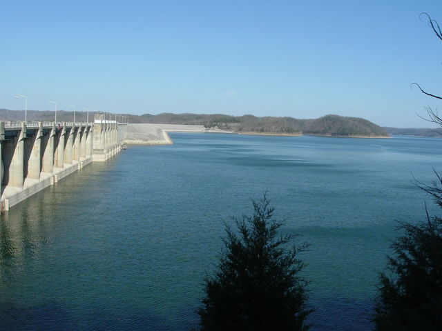
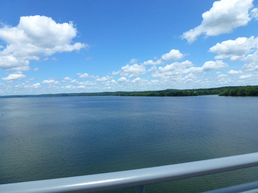
The lower West Fork transitions to flatwater as it approaches Dale Hollow Lake. A final 6-mile paddle from Dale Hollow Dam to Donaldson Park in Celina allows novices to enjoy the river's crystal-clear waters and abundant wildlife. Spring and early summer typically offer the best paddling conditions, with flows around 700 CFS ideal for the upper whitewater sections. However, the lower reaches can be enjoyed year-round.
The river corridor supports diverse ecosystems, with towering hardwood forests lining the banks and providing habitat for deer, turkey, and numerous bird species. Anglers prize the West Fork for its smallmouth bass and trout fishing. Key access points include Puncheon Camp Creek, Highway 52 Bridge, Taylor's Ford, and Donaldson Park, all within an hour's drive of Cookeville.
Paddlers should be aware of potential hazards like strainers and undercut rocks, especially in the upper sections. For those seeking a multi-day adventure, it's possible to combine several sections for a 20+ mile journey from the upper whitewater to the placid waters of Dale Hollow Lake, showcasing the diverse character of this hidden gem in the Tennessee wilderness.
Curated routes
Hand-picked by the PaddleWays team, with put-ins, take-outs, paddle times and the hazards along the way.
RouteClass I–II
Hazards
No hazards are marked on West Fork Obey River yet. That is not the same as none being there: if you find one, report it for the next paddler.
From the community
Nobody has shared a trip on West Fork Obey River yet. Paddle it, then tell the next paddler how it went.
See exactly where the public can get on and off the river. Launch points and boat ramps are paired with PaddleWays' public land data so you know where you can legally land.
Public shoreline
21%of the river's shoreline is public
Most of the riverbank is private. Launch, land and camp only at public access points.
Flows, weather and a route-by-route verdict, so you know which stretch of the West Fork Obey River is worth paddling today.
Live flows, marked hazards and fresh trip reports from paddlers who were just on the water, all in one place.





Every user gets free access to launch points, boat ramps, and public property parcels.
Loading popular cities...
PaddleWays gives you everything you need to plan smarter, paddle better, and own every trip from first launch to takeout.