West Prong Little Pigeon River
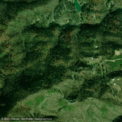
West Prong Little Pigeon River
- Boat Ramps
- 0
- Access Points
- 7
- Campsites
- 8
The West Prong Little Pigeon River is a dynamic waterway that courses through the heart of Tennessee's Great Smoky Mountains. Originating high in the mountains, this tributary of the Little Pigeon River flows northward, carving a steep and rugged path through densely forested terrain before joining the main stem near Gatlinburg. Whitewater enthusiasts flock to the West Prong for its challenging rapids and stunning mountain scenery.
The river is typically divided into two main paddling sections: the Upper and Lower. The Upper section, approximately 2-3 miles long, begins at an unspecified location in the mountains and ends at the Chimney Picnic Area. This stretch boasts a remarkable gradient of 335 feet per mile, creating a continuous series of Class IV rapids that demand advanced paddling skills. The Lower section, a 2.2-mile run from the Chimney Picnic Area to Campbell Overlook, maintains the Class IV difficulty with slightly less gradient but no less excitement. Both sections feature technical boulder gardens, steep drops, and narrow chutes that challenge even experienced kayakers.
Notable rapids include a complex sequence above Decision rapid in the Upper section, and a boof-heavy rapid followed by a folding falls in the Lower section. The West Prong's flow is highly dependent on rainfall, with the best paddling opportunities typically occurring in fall and spring. Summer thunderstorms can occasionally provide enough water for a run, but consistent flows are rare during the warmer months. A gauge reading of 1.4 on the bridge gauge is considered suitable for first-time descents of the Lower section, though slightly low.
The river corridor is home to diverse Appalachian flora and fauna. Paddlers may spot black bears, white-tailed deer, and a variety of bird species amidst the lush hardwood and evergreen forests that line the banks.
Access to the West Prong is relatively straightforward, with the Chimney Picnic Area serving as both a take-out for the Upper section and put-in for the Lower. This area, along with the Campbell Overlook take-out, is easily reached from nearby Gatlinburg, making the river a popular destination for both locals and visitors to the Great Smoky Mountains National Park.
Safety is paramount on the West Prong due to its continuous nature and technical rapids. Paddlers should be prepared for cold water, potential wood hazards, and limited egress points. As the river flows through a national park, adherence to park regulations and leave-no-trace principles is essential.
While primarily known for its day-trip potential, the West Prong Little Pigeon River serves as a thrilling component of the region's rich paddling offerings, drawing skilled kayakers seeking a concentrated dose of Appalachian whitewater adventure.
Water access, boat ramps & amenities
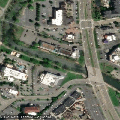
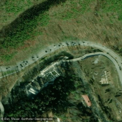
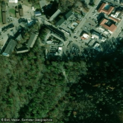
Learn how to get on West Prong Little Pigeon River. Uncover great paddling access points, boat ramps, and all the facilities you need for an unforgettable day on the water. Some locations shown may border or include private property. Always check property boundaries and applicable regulations before visiting. PaddleWays's Public & Private Land layer can help you plan your access with confidence.
Paddle smarter with real-time insights
Whether you're en route and conditions shift or you're looking for the best spot based on current flows, we enable you to make informed decisions on the fly.








Find Places to Paddle

Over 400,000 Places to Paddle
Every user gets free access to launch points, boat ramps, and public property parcels.


Water and weather conditions (10 day forecast)
See the best times to paddle West Prong Little Pigeon River and check the forecast before you go.
WEST PRONG LITTLE PIGEON R NR GATLINBURG, TN
Paddling near West Prong Little Pigeon River

French Broad River
Little River

Tennessee River
Douglas Lake
Tuckasegee River
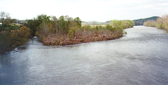
Holston River

Little Tennessee River
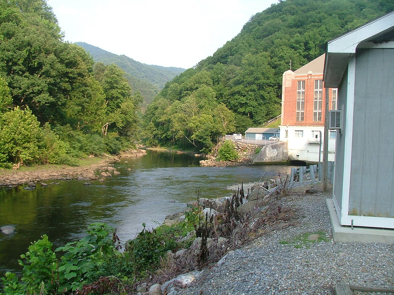
Pigeon River
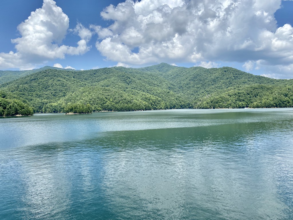
Fontana Lake
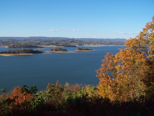
Cherokee Lake
Explore Tennessee waters
Top paddling waters
Popular Cities
Loading popular cities...
Explore near West Prong Little Pigeon River
Access points
- Blueway Landing Boat Ramp
- Collier Drive Landing Boat Ramp
- Koester-Bozeman Family Landing Boat Ramp
- West Prong Little Pigeon River Access
- Herbert Holt Park Access
- Gatlinburg Trail Access
- Old Sugarlands Trail Access
- Mile 53
- Rough Creek
- Three Forks #30 Campground
- Elkmont Campground
- Porters Flat #31 Campground
- All 16 spots
Nearby waters
More in Tennessee

Smarter Paddling Starts in the App.
Paddleways gives you everything you need to plan smarter, paddle better, and own every trip from first launch to takeout.