Angelina River
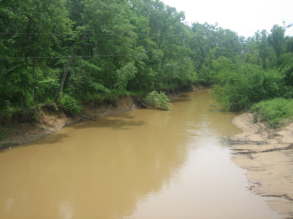
Angelina River
- Boat Ramps
- 8
- Access Points
- 8
- Campsites
- 10
The Angelina River is a scenic waterway in East Texas, flowing southeast for approximately 120 miles before joining the Neches River. It originates in Rusk County and forms part of the boundary between Nacogdoches and San Augustine counties. The river is a major tributary of the Neches, with their confluence occurring in an area known as the Forks near B.A. Steinhagen Lake.
Paddling opportunities on the Angelina River are plentiful, with several established trails and sections catering to various skill levels. The river is primarily characterized by flatwater paddling, making it suitable for beginners and families. Popular sections include the 25-mile stretch from Highway 63 to Martin Dies Jr. State Park, and the 21-mile Bevilport Paddling Trail. The river's difficulty is generally rated as easy to moderate, with a leisurely current allowing paddlers to travel at about 3 miles per hour.
While suitable for year-round paddling, spring and fall offer the most comfortable temperatures and scenic views. Summer can be hot but provides opportunities for swimming and camping on sandbars. The Angelina River flows through the diverse ecosystems of the East Texas Pineywoods, supporting a rich variety of flora and fauna. Paddlers can expect to see towering pine and oak forests lining the banks, with opportunities to spot wildlife such as bald eagles, alligators, and various waterfowl.
Key landmarks include the historic town of Bevilport, once a bustling riverboat landing, and Martin Dies Jr. State Park, which offers additional paddling trails and camping facilities. The river passes through or near several small East Texas towns, with primary access points at Highway 63, Bevilport, and Martin Dies Jr. State Park.
The Angelina River holds significant historical importance, having served as a transportation route for early settlers and playing a role in the region's logging industry. Today, it's valued for its recreational opportunities and natural beauty.
Safety considerations include being aware of potential logjams, especially after heavy rains, and watching for alligators in certain areas. Paddlers should also be mindful of hunting seasons, as much of the surrounding land is part of the Angelina National Forest.
For those interested in multi-day trips, the river offers excellent opportunities for canoe camping. The 25-mile section from Highway 63 to Martin Dies Jr. State Park is a popular two-day journey, with numerous sandbars available for primitive camping along the way.
Overall, the Angelina River provides a serene and accessible paddling experience, showcasing the natural beauty of East Texas and offering a range of options for both day trips and extended adventures.
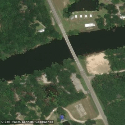
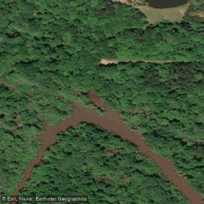
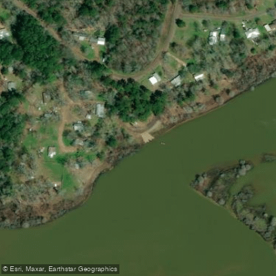
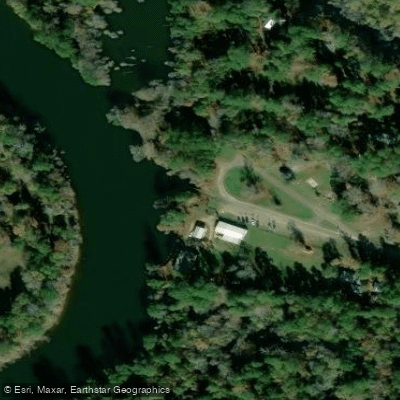
Water access, boat ramps & amenities
Learn how to get on Angelina River. Uncover great paddling access points, boat ramps, and all the facilities you need for an unforgettable day on the water. Some locations shown may border or include private property. Always check property boundaries and applicable regulations before visiting. PaddleWays's Public & Private Land layer can help you plan your access with confidence.
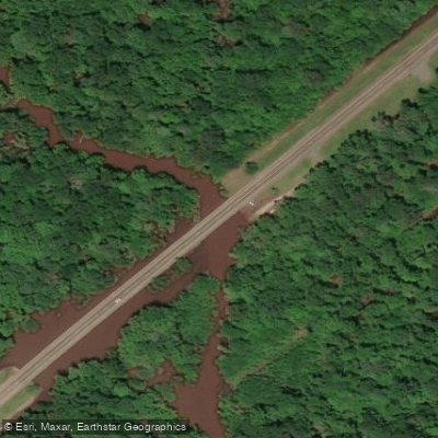
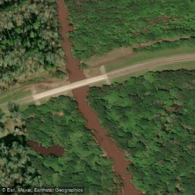
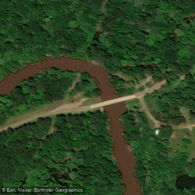
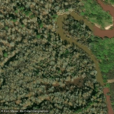
Paddle smarter with real-time insights
Whether you're en route and conditions shift or you're looking for the best spot based on current flows, we enable you to make informed decisions on the fly.








Find Places to Paddle

Over 400,000 Places to Paddle
Every user gets free access to launch points, boat ramps, and public property parcels.


Water and weather conditions (10 day forecast)
See the best times to paddle Angelina River and check the forecast before you go.
Angelina Rv nr Alto, TX
All Flow Stations
Paddling near Angelina River
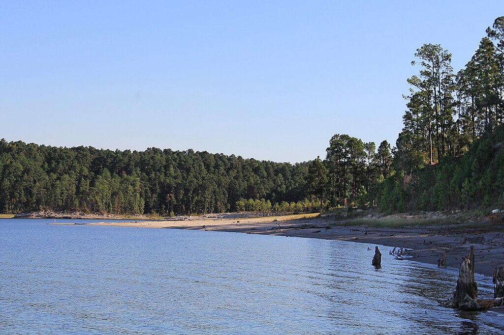
Sam Rayburn Reservoir
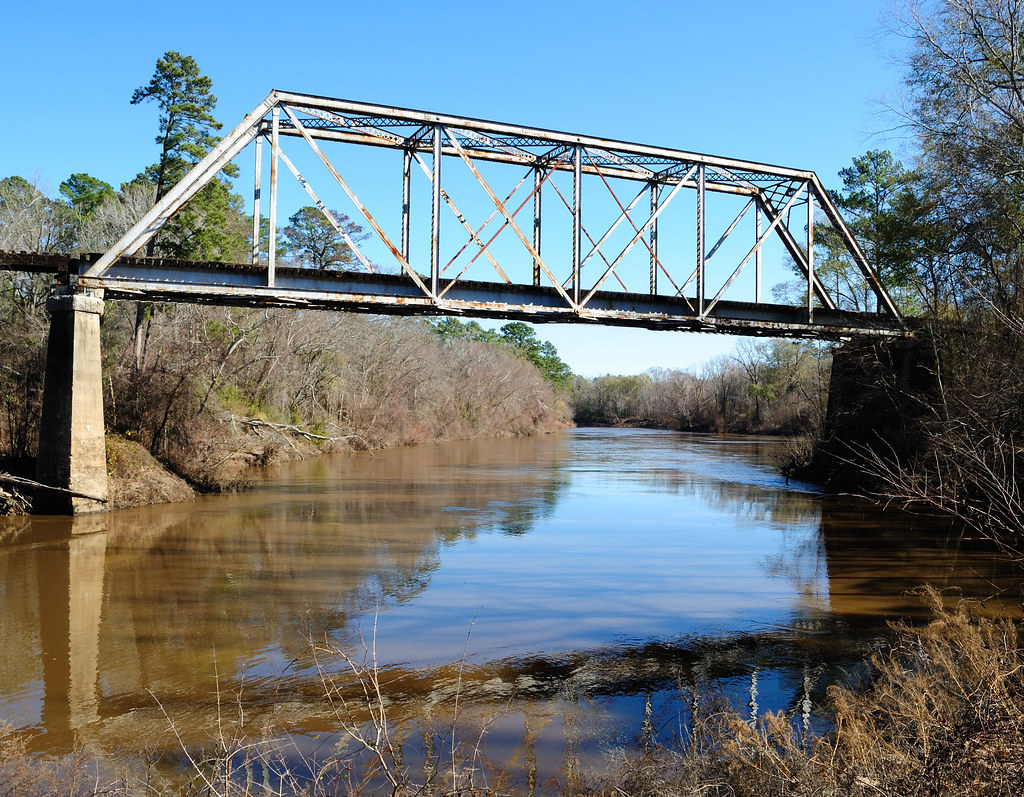
Neches River
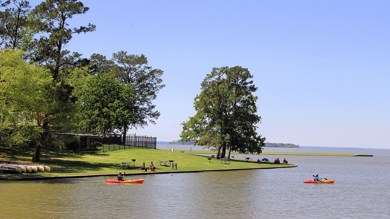
Lake Livingston

Trinity River
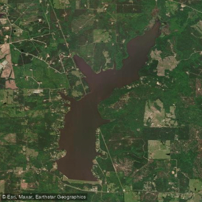
Lake Nacogdoches
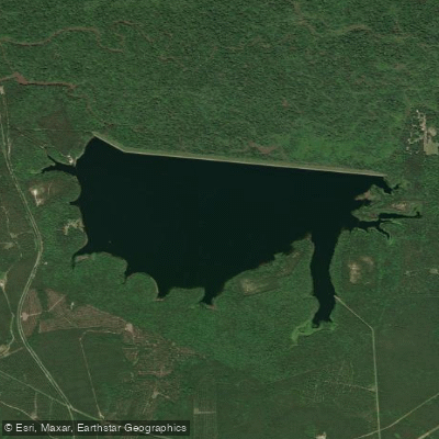
Lake Kurth
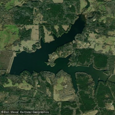
Pinkston Reservoir
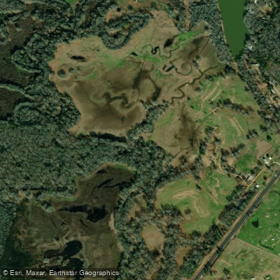
Attoyac River
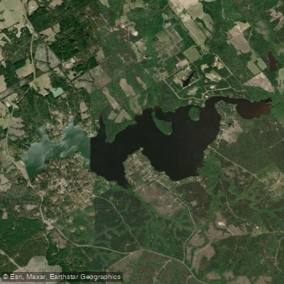
Houston County Lake
Explore Texas waters
Top paddling waters
Popular Cities
Loading popular cities...
Explore near Angelina River
Access points
Nearby waters
More in Texas

Smarter Paddling Starts in the App.
Paddleways gives you everything you need to plan smarter, paddle better, and own every trip from first launch to takeout.