Attoyac River
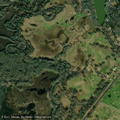
Attoyac River
- Boat Ramps
- 1
- Access Points
- 1
- Campsites
- 2
The Attoyac River, also known locally as Attoyac Bayou, is a significant waterway in East Texas. Originating in Nacogdoches or San Augustine County, this freshwater stream flows southeastward for approximately 81.7 miles before joining the Angelina River. The river traverses through four counties - Nacogdoches, San Augustine, Shelby, and Rusk - carving its path through the heavily vegetated landscape typical of East Texas.
Paddling opportunities on the Attoyac River are somewhat limited due to restricted access along much of its main stem. However, the river offers a unique experience for adventurous kayakers and canoeists willing to explore its waters. The overall difficulty is generally considered flatwater, making it suitable for paddlers of various skill levels, though conditions can change based on recent rainfall and seasonal variations.
The best times for paddling the Attoyac are typically in spring and fall when water levels are more favorable and temperatures are moderate. Summer paddling is possible but can be challenging due to heat and potentially low water levels. Winter trips may be enjoyable for experienced paddlers prepared for cooler temperatures.
The river's ecosystem supports a diverse array of flora and fauna characteristic of East Texas. Paddlers may encounter cypress trees, various hardwoods, and aquatic plants along the banks. Wildlife sightings could include alligators, numerous bird species, and various fish, making it an excellent destination for nature enthusiasts.
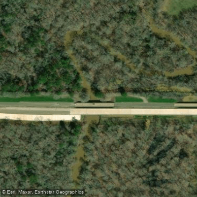
Key access points along the Attoyac River include crossings at State Highway 21 and US Highway 59, though paddlers should be prepared for limited put-in and take-out options. The nearest towns for these access points would be Chireno and Garrison, respectively.
Historically, the Attoyac River played a role in the early settlement and development of East Texas. Its name is of Native American origin, reflecting the rich cultural heritage of the region. Today, the river continues to be an important ecological and recreational resource for the area.
Safety considerations for paddling the Attoyac River include being aware of potential alligator presence, checking water levels before trips, and being prepared for limited cell phone coverage in some areas. Paddlers should also be mindful of private property along the banks and respect local regulations.
While multi-day trips on the Attoyac River are possible, they require careful planning due to limited established camping areas along the river. Paddlers considering overnight journeys should be well-prepared and experienced in wilderness camping.
The Attoyac River offers a glimpse into the wild beauty of East Texas, providing paddlers with an opportunity to explore a less-traveled waterway rich in natural and historical significance.
Water access, boat ramps & amenities
Learn how to get on Attoyac River. Uncover great paddling access points, boat ramps, and all the facilities you need for an unforgettable day on the water. Some locations shown may border or include private property. Always check property boundaries and applicable regulations before visiting. PaddleWays's Public & Private Land layer can help you plan your access with confidence.
Paddle smarter with real-time insights
Whether you're en route and conditions shift or you're looking for the best spot based on current flows, we enable you to make informed decisions on the fly.








Find Places to Paddle

Over 400,000 Places to Paddle
Every user gets free access to launch points, boat ramps, and public property parcels.


Water and weather conditions (10 day forecast)
See the best times to paddle Attoyac River and check the forecast before you go.
Attoyac Bayou nr Chireno, TX
Paddling near Attoyac River
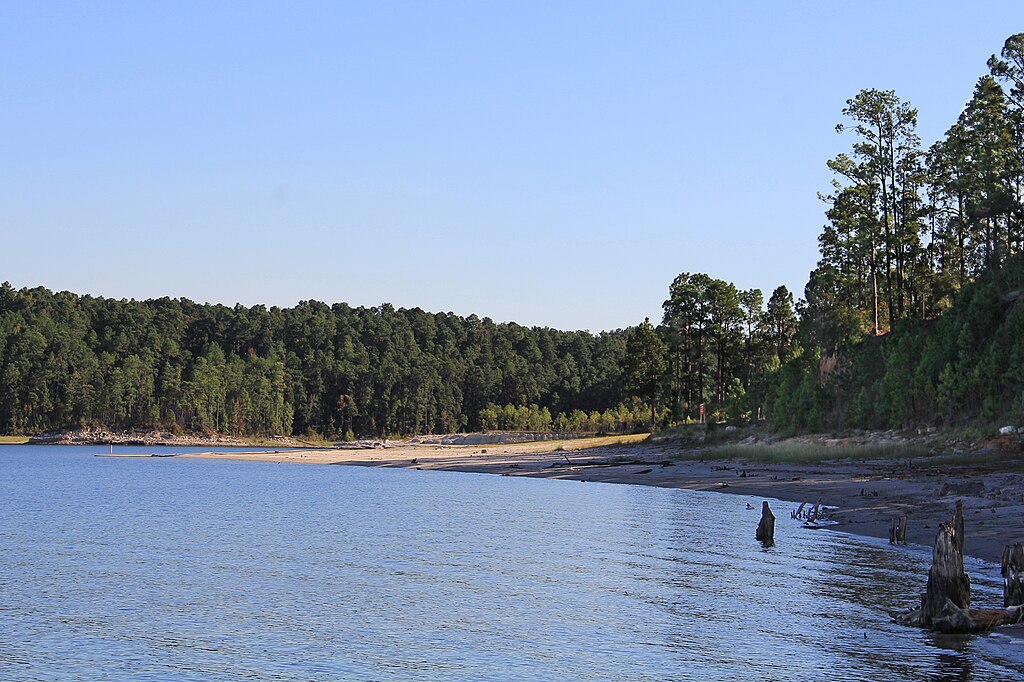
Sam Rayburn Reservoir
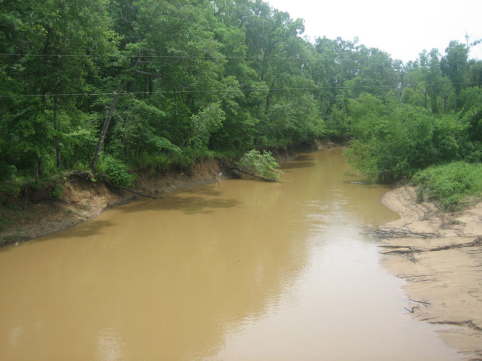
Angelina River
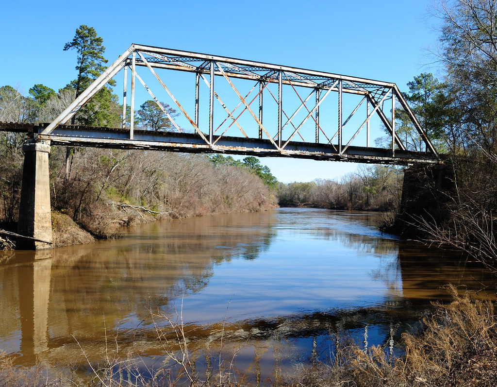
Neches River
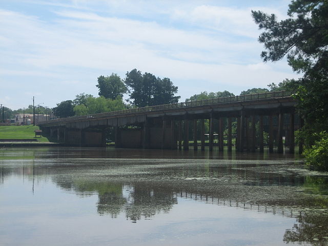
Sabine River
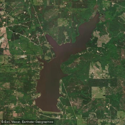
Lake Nacogdoches
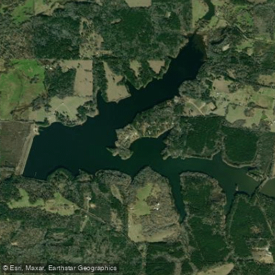
Pinkston Reservoir
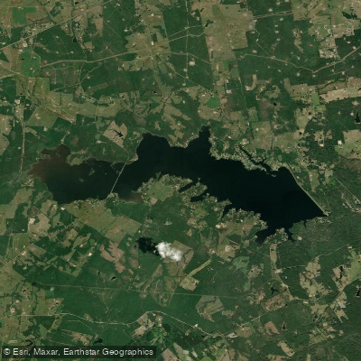
Lake Murvaul
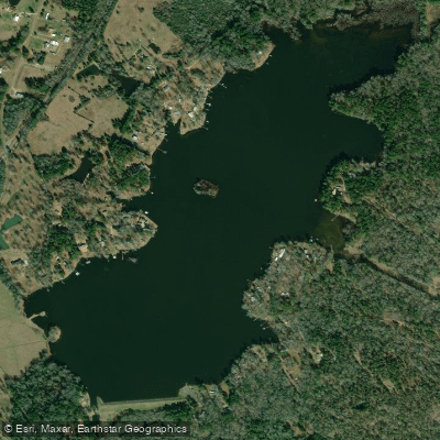
Lake Timpson
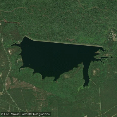
Lake Kurth
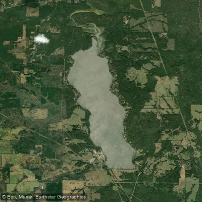
Lake Striker
Explore Texas waters
Top paddling waters
Popular Cities
Loading popular cities...
Explore near Attoyac River
Access points
Nearby waters
More in Texas

Smarter Paddling Starts in the App.
Paddleways gives you everything you need to plan smarter, paddle better, and own every trip from first launch to takeout.