Curated by PaddleWays
RouteClass II
- Distance
- 12.4 mi
- Paddle time
- ~4 hrs
- Put-in → take-out
- Hog Creek Boat Ramp → Hog Creek Access
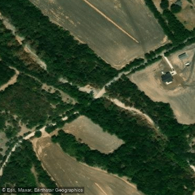
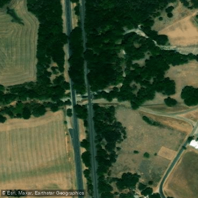
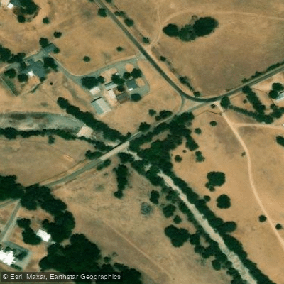
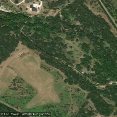
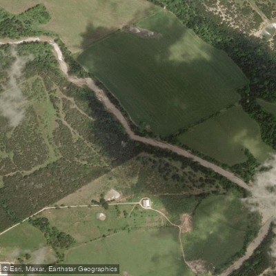
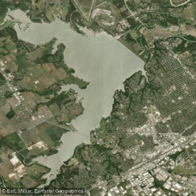
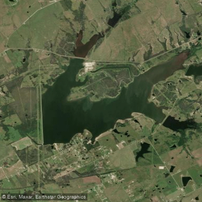
Hog Creek flows through the Bosque River watershed in central Texas, primarily within McLennan County, serving as a tributary to Lake Waco. This modest waterway drains approximately 30 square miles of predominantly agricultural and rangeland terrain characteristic of the Texas Blackland Prairie and Cross Timbers ecoregions. The creek originates in the northern portions of McLennan County and flows generally southward before entering the northern arm of Lake Waco, the primary drinking water source for the City of Waco and surrounding communities. The watershed is characterized by gently rolling terrain with elevations ranging from approximately 500 to 700 feet, creating a relatively low-gradient stream system.
Land use within the Hog Creek watershed consists primarily of hay production, pastureland, and cattle operations, with scattered residential development increasing near Lake Waco. Water quality monitoring conducted by the Brazos River Authority indicates that Hog Creek generally supports its designated uses, though the system experiences typical challenges associated with agricultural watersheds. The creek exhibits intermittent to low flow conditions during much of the year, with flows primarily generated by storm events and seasonal precipitation. Average annual rainfall in the watershed ranges from 35 to 40 inches, concentrated during spring and fall months.
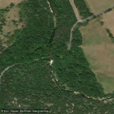
The riparian corridor supports native vegetation including elm, willow, and oak species, providing habitat for white-tailed deer, feral hogs, various waterfowl, and common songbirds. The aquatic environment, when water is present, supports typical warmwater fish species adapted to the region's variable flow conditions.
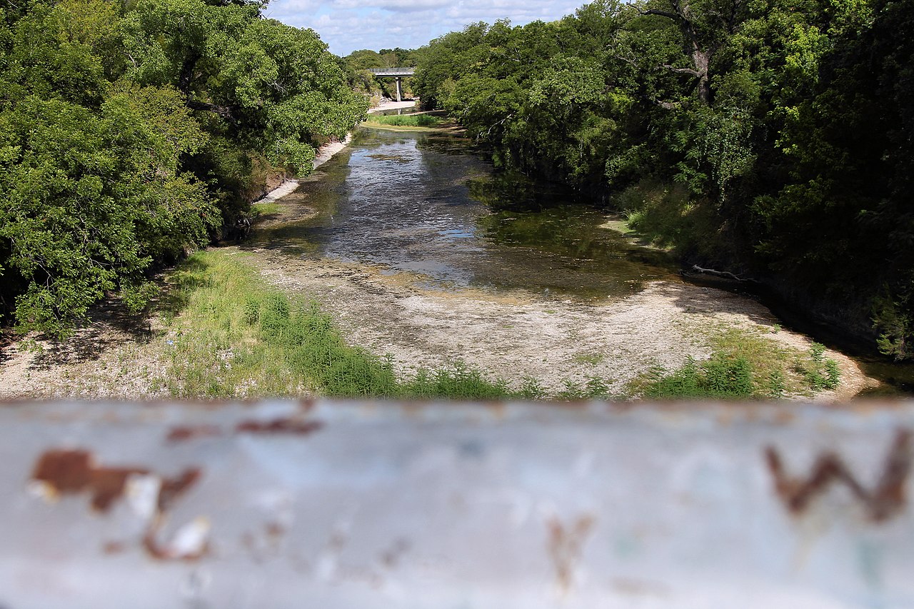
Due to its small size, intermittent flow patterns, and shallow channels with limited navigable water, Hog Creek does not offer practical paddling opportunities. The creek functions primarily as a drainage feature within the larger Bosque River watershed system rather than as a recreational waterway.
Access to Hog Creek is limited, as the waterway flows primarily through private agricultural lands. The nearest population center is Waco, located approximately 10-15 miles south of the main creek channel. Public access is essentially restricted to the confluence area where the creek enters Lake Waco, accessible through Lake Waco park facilities managed by the U.S. Army Corps of Engineers.
The watershed contributes to the overall water quality and quantity of Lake Waco, making its management important for regional water supply planning. Ongoing monitoring by the Brazos River Authority helps ensure that land use practices within the Hog Creek watershed support downstream water quality objectives for this critical municipal water source.
Curated routes
Hand-picked by the PaddleWays team, with put-ins, take-outs, paddle times and the hazards along the way.
RouteClass II
RouteClass II
Hazards
No hazards are marked on Hog Creek yet. That is not the same as none being there: if you find one, report it for the next paddler.
From the community
Nobody has shared a trip on Hog Creek yet. Paddle it, then tell the next paddler how it went.
See exactly where the public can get on and off the river. Launch points and boat ramps are paired with PaddleWays' public land data so you know where you can legally land.
Public shoreline
5%of the river's shoreline is public
Most of the riverbank is private. Launch, land and camp only at public access points.
Flows, weather and a route-by-route verdict, so you know which stretch of the Hog Creek is worth paddling today.
Live flows, marked hazards and fresh trip reports from paddlers who were just on the water, all in one place.





Every user gets free access to launch points, boat ramps, and public property parcels.
Loading popular cities...
PaddleWays gives you everything you need to plan smarter, paddle better, and own every trip from first launch to takeout.