Lake Meredith
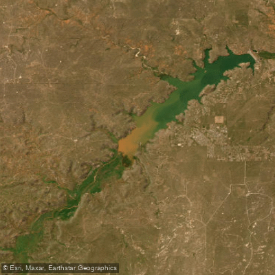
Lake Meredith
- Boat Ramps
- 13
- Access Points
- 22
- Campsites
- 11
Lake Meredith is a 16,411-acre reservoir located 45 miles northeast of Amarillo, Texas. The lake offers diverse paddling opportunities with 100 miles of shoreline and a maximum depth of 127 feet. Several boat ramps provide access, including Sanford-Yake, Harbor Bay, Cedar Canyon, and Blue West. The upper reservoir has turbid red water with 3-6 inch visibility, while the lower reservoir is clearer with 4-8 foot visibility.
Paddlers should be aware of potential hazards like strong winds and rapidly developing thunderstorms, particularly in summer. The lake experiences moderate to severe water level fluctuations of 4-10 feet annually. Personal flotation devices are required for all boaters.
The best paddling season is May through September. Summer temperatures typically range from 25°F to 91°F. The lake is home to diverse wildlife, including migratory birds. Rocky shorelines, steep drop-offs, and submerged structures create interesting paddling terrain.
Facilities for paddlers include campgrounds, RV hookups, and rental options for kayaks and paddleboards at Sanford-Yake marina. Wright-On Bait, Tackle and Watercraft Rental (806-865-3131) offers equipment.
Lake Meredith is part of Lake Meredith National Recreation Area, managed by the National Park Service. Paddlers should practice "Leave No Trace" principles. To prevent the spread of invasive species, all watercraft must be cleaned, drained, and dried before and after use.
The lake supports a variety of fish species, including walleye, bass, and catfish, making it a popular destination for anglers. Paddlers may encounter fishing boats, especially during peak walleye season from April through June.
Water access, boat ramps & amenities
Learn how to get on Lake Meredith. Uncover great paddling access points, boat ramps, and all the facilities you need for an unforgettable day on the water. Some locations shown may border or include private property. Always check property boundaries and applicable regulations before visiting. PaddleWays's Public & Private Land layer can help you plan your access with confidence.
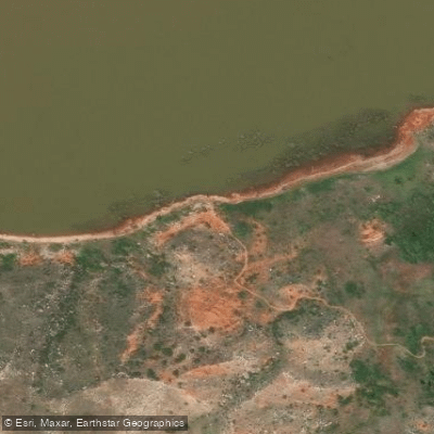
Harbor Bay South Access
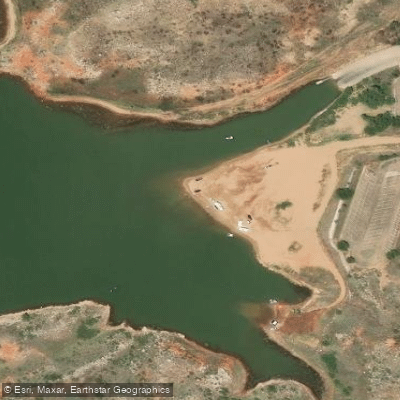
Cedar Canyon Access
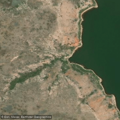
Chaprel Street North
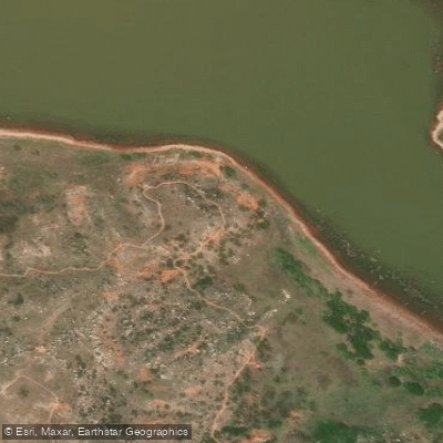
Harbor Bay Access
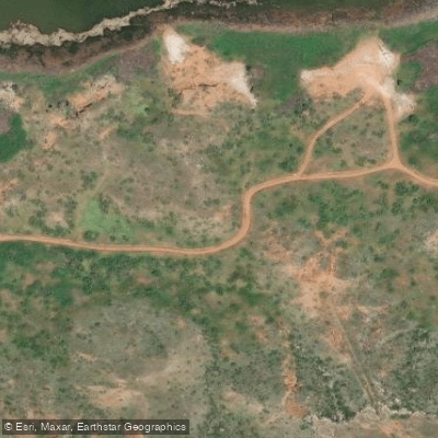
South Turkey Creek Trail Access
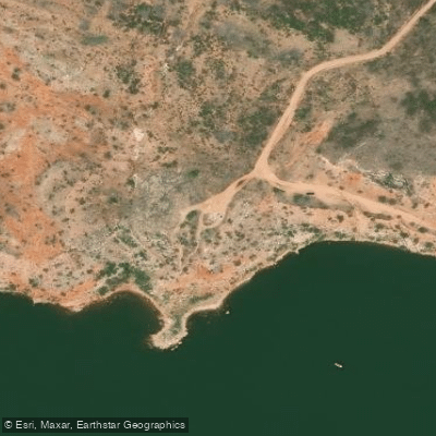
North Canyon Access
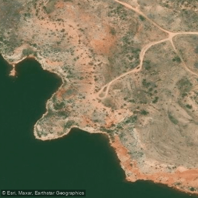
Sanford Recreational Area North Canyon South Access
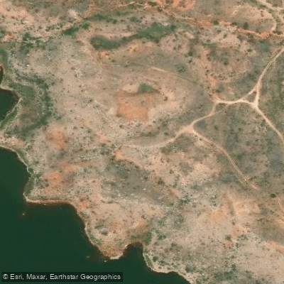
Sanford National Recreation Area Access
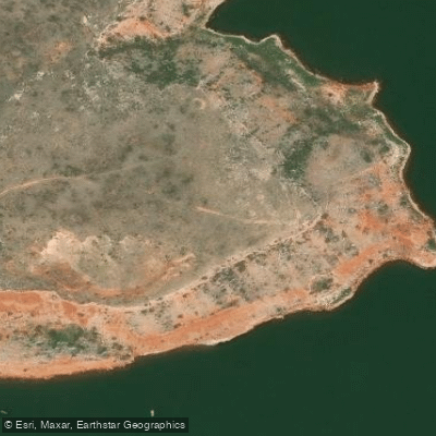
Chapral Street North Canyon Access
Paddle smarter with real-time insights
Whether you're en route and conditions shift or you're looking for the best spot based on current flows, we enable you to make informed decisions on the fly.








Find Places to Paddle

Over 400,000 Places to Paddle
Every user gets free access to launch points, boat ramps, and public property parcels.


Water and weather conditions (10 day forecast)
See the best times to paddle Lake Meredith and check the forecast before you go.
Big Blue Ck nr Fritch, TX
All Flow Stations
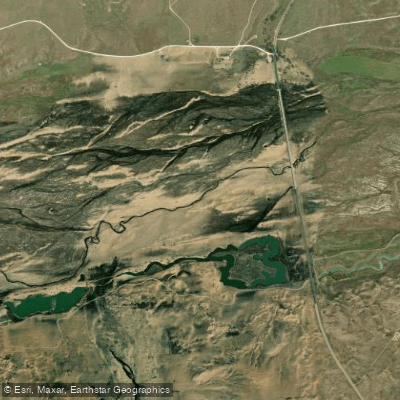

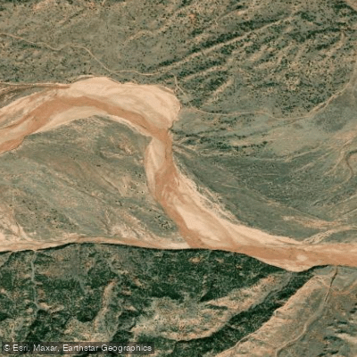
Explore Texas waters
Top paddling waters
Popular Cities
Loading popular cities...
Explore near Lake Meredith
Access points
Nearby waters
More in Texas

Smarter Paddling Starts in the App.
Paddleways gives you everything you need to plan smarter, paddle better, and own every trip from first launch to takeout.