McClellan Creek
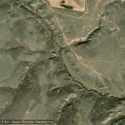
McClellan Creek
- Boat Ramps
- 1
- Access Points
- 1
- Campsites
- 3
McClellan Creek is a small waterway located in the Texas Panhandle, flowing through the McClellan Creek National Grassland. While the creek itself is not a significant paddling destination, it feeds into Lake McClellan, a small reservoir that offers excellent flatwater paddling opportunities. Lake McClellan, also known as McClellan Creek Reservoir, is the focal point for water-based recreation in this area. The lake is situated within the 1,149-acre McClellan Creek National Grassland, providing a serene setting surrounded by the natural beauty of the Texas plains.
Paddling on Lake McClellan is best suited for small, human-powered craft such as canoes and kayaks. The lake's relatively small size makes it ideal for leisurely day trips and beginner paddlers. The difficulty level is consistently flatwater, requiring minimal technical skills. The best times for paddling are typically spring and fall when temperatures are milder and wildlife activity is at its peak. However, paddlers should be aware that lake levels can fluctuate significantly, especially during dry periods, which may affect access and paddling conditions.
The grassland ecosystem surrounding Lake McClellan supports a diverse array of flora and fauna. The lake's cool waters attract various bird species, making it an excellent spot for birdwatching. Paddlers may encounter waterfowl, shorebirds, and possibly even raptors soaring overhead.
Access to Lake McClellan is primarily through the campground located along its shores. The nearest town is Alanreed, Texas, situated about 6.5 miles east along Interstate 40. The campground offers both RV and tent sites, some with electric and water hookups, making it convenient for overnight stays and multi-day paddling trips.
Fishing is a popular activity on Lake McClellan, particularly in spring and fall. Anglers can enjoy casting from the shore or from their watercraft, adding another dimension to the paddling experience.
Safety considerations include monitoring weather conditions, as the open grassland can experience sudden wind changes. Paddlers should also check current lake levels before planning their trip, as low water can impact launch sites and navigability.
While not a destination for extended river journeys, Lake McClellan offers a peaceful retreat for paddlers seeking a tranquil day on the water amidst the expansive Texas Panhandle landscape. Its location within the National Grassland provides a unique opportunity to explore an often-overlooked ecosystem from the perspective of a small, serene lake.
Water access, boat ramps & amenities
Learn how to get on McClellan Creek. Uncover great paddling access points, boat ramps, and all the facilities you need for an unforgettable day on the water. Some locations shown may border or include private property. Always check property boundaries and applicable regulations before visiting. PaddleWays's Public & Private Land layer can help you plan your access with confidence.
Paddle smarter with real-time insights
Whether you're en route and conditions shift or you're looking for the best spot based on current flows, we enable you to make informed decisions on the fly.








Find Places to Paddle

Over 400,000 Places to Paddle
Every user gets free access to launch points, boat ramps, and public property parcels.


Water and weather conditions (10 day forecast)
See the best times to paddle McClellan Creek and check the forecast before you go.
No forecast data available.
Paddling near McClellan Creek
Canadian River
Lake Meredith
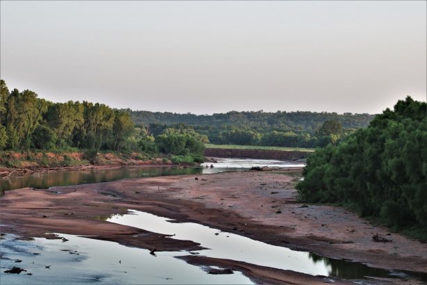
Washita River

North Fork Red River
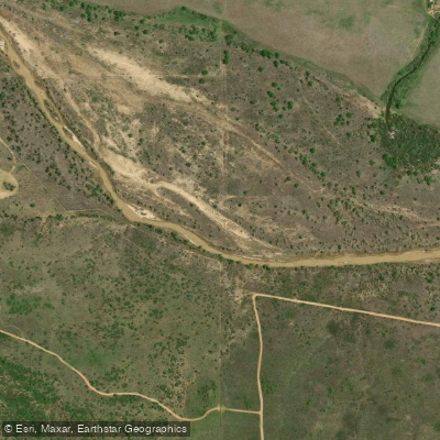
Salt Fork Red River
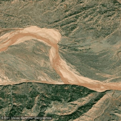
Prairie Dog Town Fork Red River
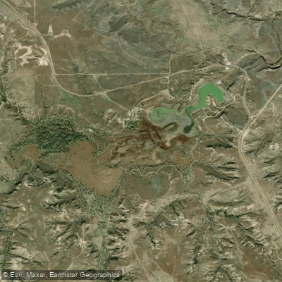
Lake McClellan
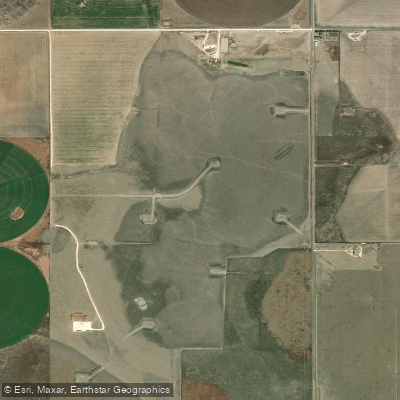
Deer Lake
Explore Texas waters
Top paddling waters
Popular Cities
Loading popular cities...
Explore near McClellan Creek
Access points
Nearby waters
More in Texas

Smarter Paddling Starts in the App.
Paddleways gives you everything you need to plan smarter, paddle better, and own every trip from first launch to takeout.