Curated by PaddleWays
RouteFlatwater
- Distance
- 6.3 mi
- Paddle time
- ~2.5 hrs
- Put-in & take-out
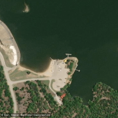
- Lake Mineral Wells State Park Boat Ramp
Strong afternoon southerly winds on lake
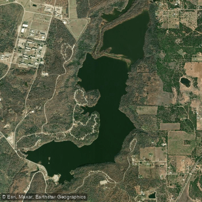
Lake Mineral Wells is a 640-acre body of water located within Lake Mineral Wells State Park, approximately 45 minutes west of Fort Worth. The lake offers a controlled paddling environment with restrictions on high-speed activities - no skiing, tubing, or jet skis are permitted, making it ideal for kayaks and canoes.
Access is via a boat ramp within the state park. Canoes, kayaks, and paddle boards can be rented from the Park Store (940-312-6588) or visitors may bring their own watercraft. The park entrance fee is $7 for adults, while children 12 and under enter free. The park is open daily from 6 a.m. to 10 p.m.
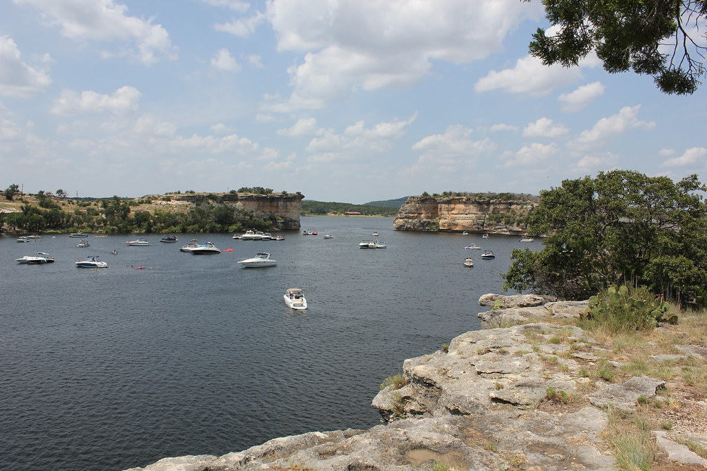
Six fishing piers are scattered around the shoreline, providing reference points for paddlers. The water is typically still and mirror-like, bordered by dense tree cover and dramatic limestone formations. Penitentiary Hollow, with its 40-foot cliffs, offers a striking geological backdrop for paddlers exploring the shoreline.
Wildlife viewing opportunities include approximately 190 bird species, with unique sightings of canyon wrens. The lake sits within the Western Cross Timbers ecoregion, characterized by limestone and sandstone formations.
Facilities include restrooms, a swim beach (unguarded), and a lighted fishing pier. The park often reaches capacity during peak season (mid-March through mid-November), so advance reservations are recommended. The climate brings average July highs of 98 degrees and January lows of 32 degrees, with April and May typically being the wettest months.
The lake was created within what was historically a popular health resort area, known for its mineral waters. Today, it serves as both a recreational resource and a defining feature of Lake Mineral Wells State Park's 3,282 acres.
For paddlers' safety, checking with the park about conditions is advised, as weather can affect access and facilities. Contact park headquarters at (940) 328-1171 for current conditions before your visit.
Curated routes
Hand-picked by the PaddleWays team, with put-ins, take-outs, paddle times and the hazards along the way.
RouteFlatwater
Hazards
No paddler has reported a hazard here yet, so these are the dams, falls and big rapids on our map. Hazards change with flows and storms, so check them before you launch.
From the community
Nobody has shared a trip on Lake Mineral Wells yet. Paddle it, then tell the next paddler how it went.
See exactly where the public can get on and off the water. Launch points and boat ramps are paired with PaddleWays' public land data so you know where you can legally land.
Public shoreline
100%of the lake's shoreline is public
Weather, wind and a verdict for each route, so you know if Lake Mineral Wells is worth paddling today.
No forecast data available.
Live flows, marked hazards and fresh trip reports from paddlers who were just on the water, all in one place.





Every user gets free access to launch points, boat ramps, and public property parcels.
Loading popular cities...
PaddleWays gives you everything you need to plan smarter, paddle better, and own every trip from first launch to takeout.