Lake Pat Cleburne
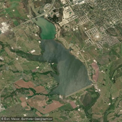
Lake Pat Cleburne
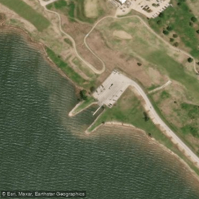
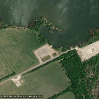
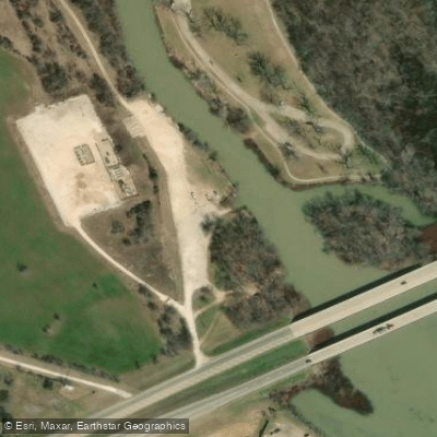
- Boat Ramps
- 4
- Access Points
- 4
- Campsites
- 0
Lake Pat Cleburne is a 1,558-acre reservoir located in Johnson County, Texas, just southwest of the city of Cleburne. Impounded in 1961 on the Nolan River, the lake serves flood control and recreational purposes. With a maximum depth of 64 feet, it offers a variety of activities for paddlers and other water enthusiasts.
Access: The lake features free day use areas with boat ramps on each side, providing convenient put-in and take-out points for paddlers. The shoreline is largely undeveloped, with gently sloping banks characterized by rocks and sand.
Paddling Experience: Lake Pat Cleburne is primarily a day-use destination, ideal for picnicking, fishing, swimming, and boating. The lake can become choppy in windy conditions, with the smoothest water typically found near the dam.
Hazards and Safety: Wind can create challenging conditions for paddlers, especially given the lake's open nature. While there are no specific paddling restrictions, standard water safety practices should be observed.
Water Quality: The lake's water is stained to murky, which is typical for the region. The water quality is generally good for recreational use.
Wildlife and Natural Features: The lake and surrounding area provide habitat for various fish species, including largemouth bass, channel catfish, blue catfish, and white bass. Birdwatchers may spot great blue herons and snowy egrets.
Fishing: For paddlers interested in fishing, the lake offers good opportunities for largemouth bass, catfish, and white bass. Fish can be found around shallow emergent aquatic vegetation, isolated laydowns, and along the dam's riprap.
Facilities: The lake offers day use areas suitable for picnicking and shore fishing. Cleburne Golf Links is located adjacent to the lake, providing an option for post-paddling recreation or dining.
Seasonal Considerations: The lake experiences typical seasonal variations for the region. January average lows are around 34°F, while July average highs reach 97°F. May tends to be the wettest month, and July the driest.
Size and Characteristics: At normal levels, Lake Pat Cleburne has a surface area of 2.4 square miles. The shoreline is treed and mostly undeveloped, offering a natural setting for paddlers.
Historical Significance: The lake was created in 1964 with the completion of the Lake Pat Cleburne Dam on the Nolan River. It is owned and operated by the City of Cleburne.
Overall, Lake Pat Cleburne provides an accessible paddling destination close to urban areas, offering a mix of recreational opportunities in a relatively undeveloped setting. Its size and proximity to Cleburne make it suitable for day trips and casual paddling excursions.
Water access, boat ramps & amenities
Learn how to get on Lake Pat Cleburne. Uncover great paddling access points, boat ramps, and all the facilities you need for an unforgettable day on the water. Some locations shown may border or include private property. Always check property boundaries and applicable regulations before visiting. PaddleWays's Public & Private Land layer can help you plan your access with confidence.

Paddle smarter with real-time insights
Whether you're en route and conditions shift or you're looking for the best spot based on current flows, we enable you to make informed decisions on the fly.








Find Places to Paddle

Over 400,000 Places to Paddle
Every user gets free access to launch points, boat ramps, and public property parcels.


Water and weather conditions (10 day forecast)
See the best times to paddle Lake Pat Cleburne and check the forecast before you go.
No forecast data available.
Paddling near Lake Pat Cleburne

Brazos River
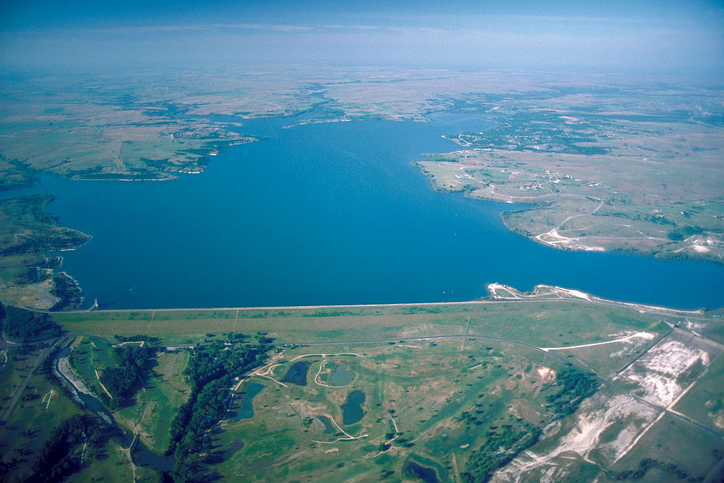
Benbrook Lake

Lake Whitney
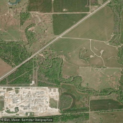
West Fork Trinity River
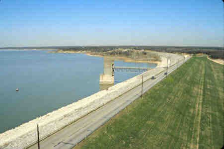
Grapevine Lake

Trinity River
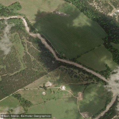
North Bosque River
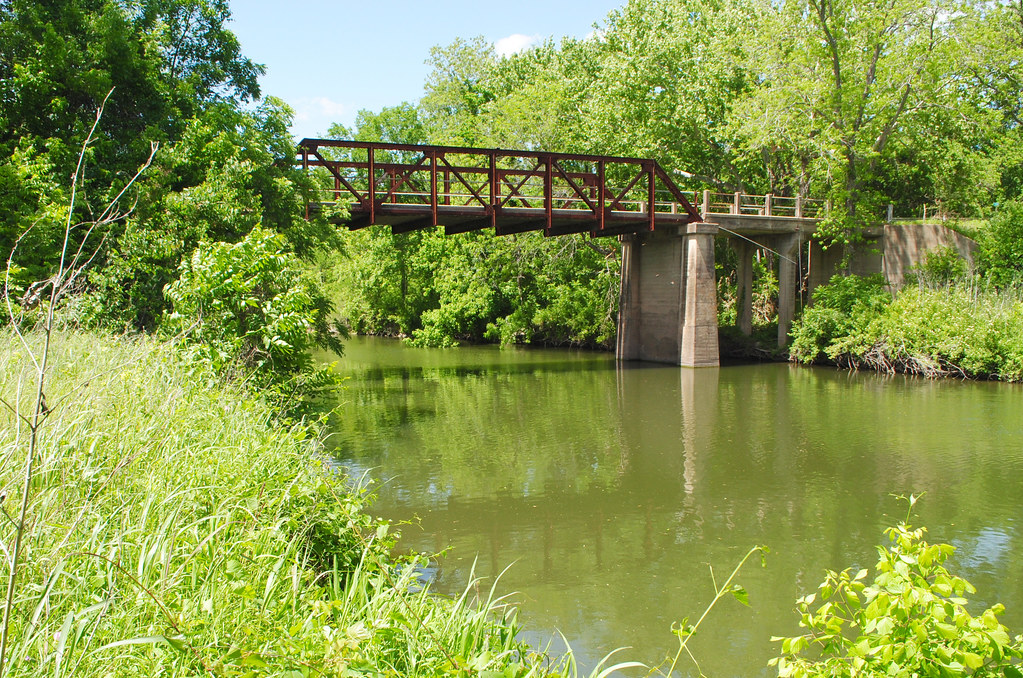
Navasota River
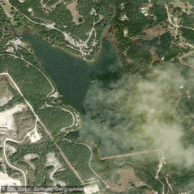
Cleburne State Park Lake
Explore Texas waters
Top paddling waters
Popular Cities
Loading popular cities...
Explore near Lake Pat Cleburne
Access points
Nearby waters
More in Texas

Smarter Paddling Starts in the App.
Paddleways gives you everything you need to plan smarter, paddle better, and own every trip from first launch to takeout.