Lake Waxahachie
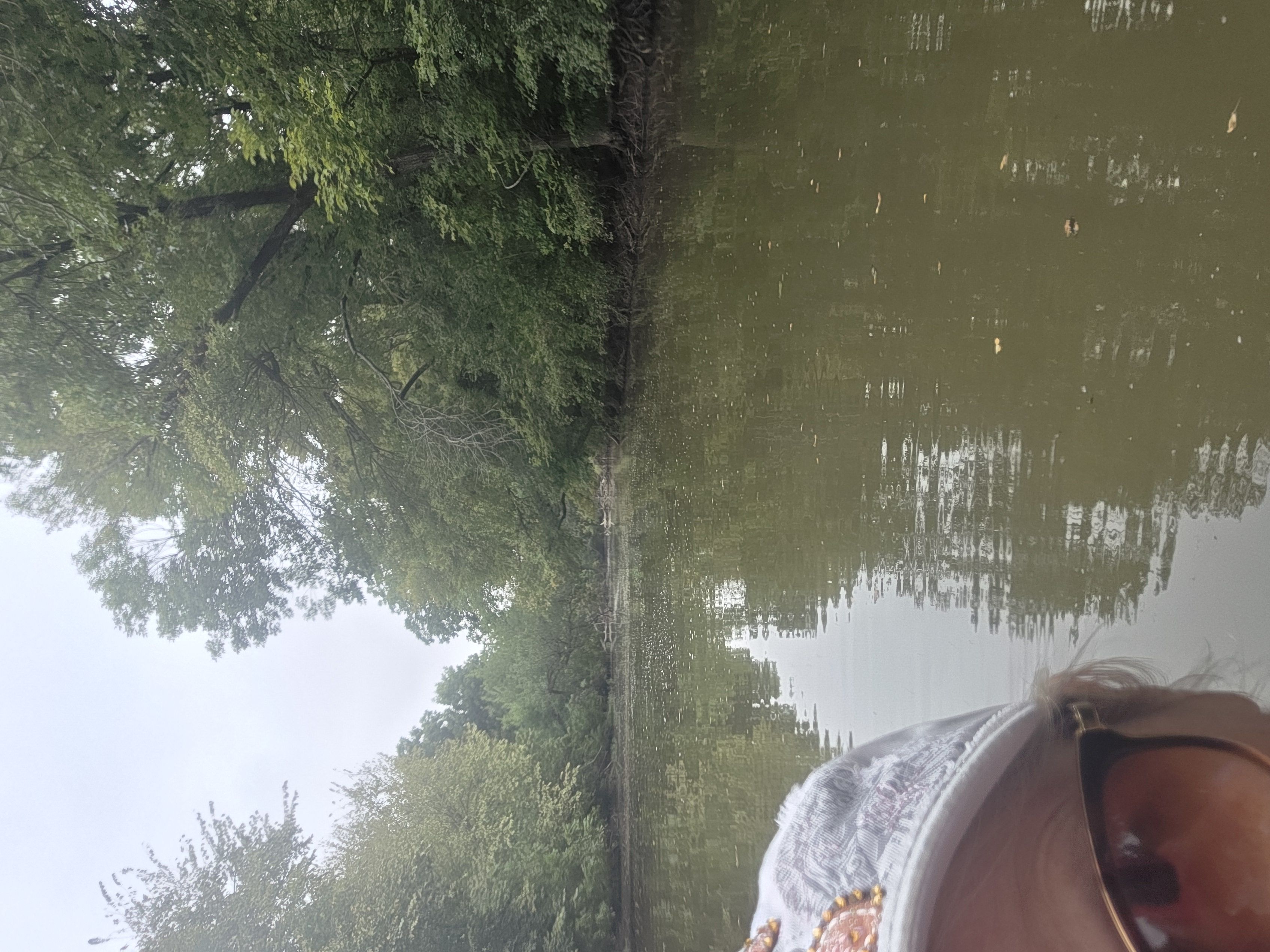
Lake Waxahachie
- Boat Ramps
- 2
- Access Points
- 2
- Campsites
- 0
Lake Waxahachie is a 656-acre impoundment located on Prong Creek in the Trinity River Basin, approximately 4 miles south of Waxahachie, Texas. The lake offers opportunities for paddling, with canoes and kayaks permitted on the water. Three public boat ramps provide access points for launching watercraft.
The lake's water level fluctuates up to three feet below the conservation pool elevation of 531 feet above mean sea level. Paddlers should be aware that low water conditions can limit access at boat ramps. The lake has moderate water clarity and high productivity.
Notable features include limestone bluffs along the east side of the lake and the dam face. Habitat consists of standing timber, rocks, boat docks, and native emergent aquatic plants. Water willow is the predominant aquatic vegetation, covering about 16 acres. Other native plants present in small quantities include American lotus, bulrush, and American pondweed.
Wildlife observers may spot various waterfowl species. The lake supports populations of largemouth bass, crappie, catfish, and white bass. Spring is particularly active for white bass as they school to feed on shad.
Lake Waxahachie allows various watercraft, including motorized boats, jet skis, canoes, and kayaks. There are no specific paddling-only areas or restrictions mentioned. Paddlers should exercise caution and be aware of other boat traffic.
Public parks like Boat Dock Park and Spring Park offer amenities such as picnic tables, restrooms, and swim areas. The lake's proximity to the Dallas-Fort Worth area (about 30 miles) makes it a convenient destination for urban paddlers seeking a quick escape.
Constructed in 1956, Lake Waxahachie serves as a municipal water supply for the City of Waxahachie in addition to its recreational uses. The lake plays a role in local cultural events, hosting gatherings that celebrate the area's heritage throughout the year.
Water access, boat ramps & amenities
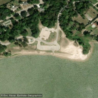
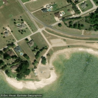
Learn how to get on Lake Waxahachie. Uncover great paddling access points, boat ramps, and all the facilities you need for an unforgettable day on the water. Some locations shown may border or include private property. Always check property boundaries and applicable regulations before visiting. PaddleWays's Public & Private Land layer can help you plan your access with confidence.
Paddle smarter with real-time insights
Whether you're en route and conditions shift or you're looking for the best spot based on current flows, we enable you to make informed decisions on the fly.








Find Places to Paddle

Over 400,000 Places to Paddle
Every user gets free access to launch points, boat ramps, and public property parcels.


Water and weather conditions (10 day forecast)
See the best times to paddle Lake Waxahachie and check the forecast before you go.
No forecast data available.
Paddling near Lake Waxahachie

Trinity River
West Fork Trinity River
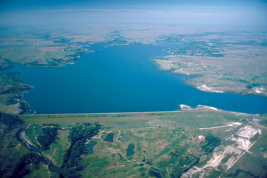
Benbrook Lake

Brazos River
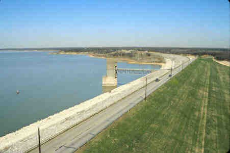
Grapevine Lake
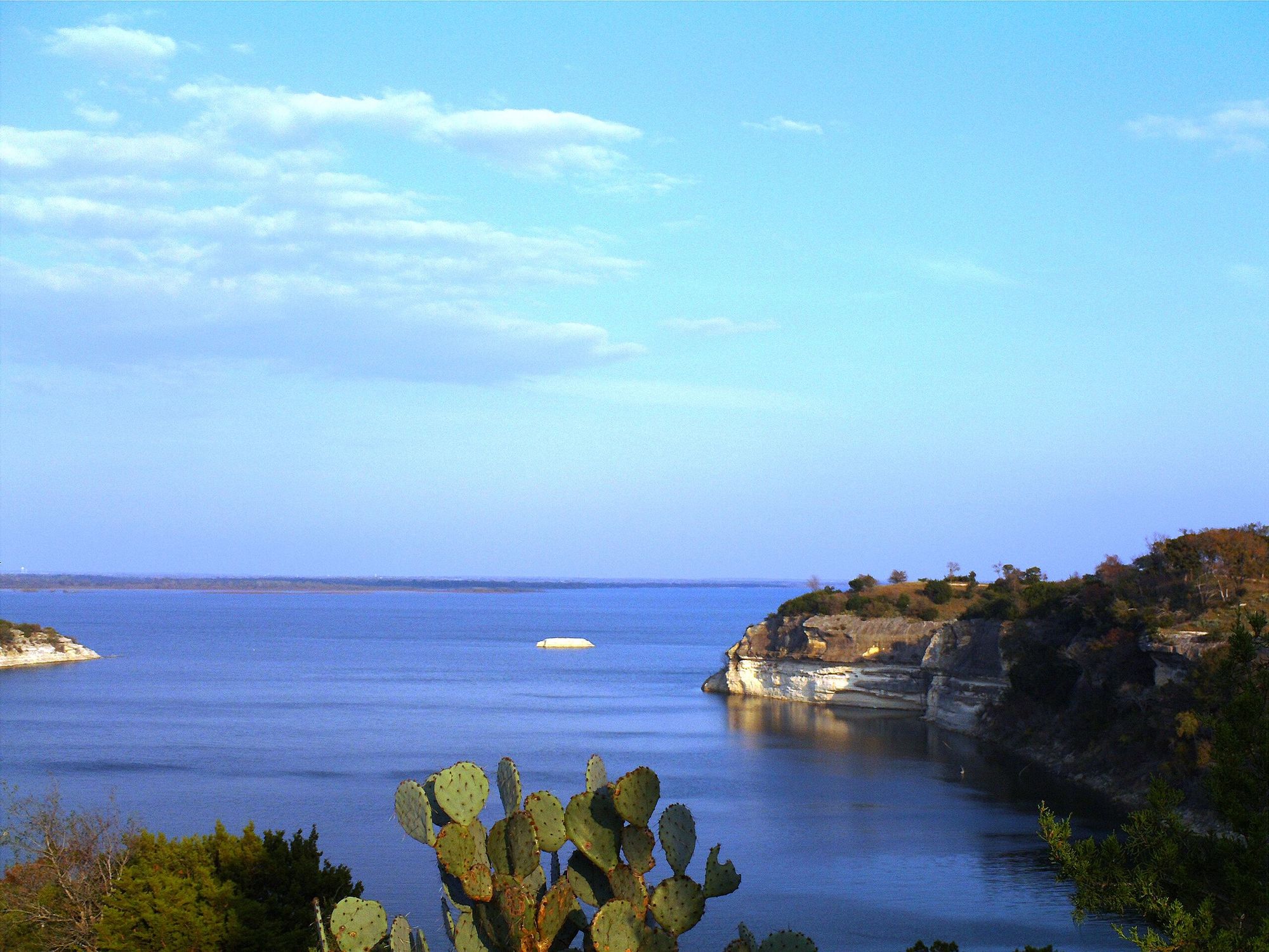
Lake Whitney
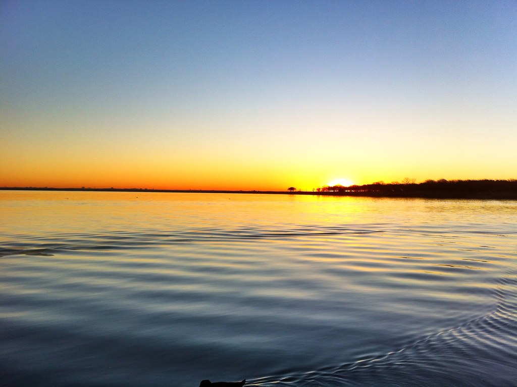
Lake Lewisville
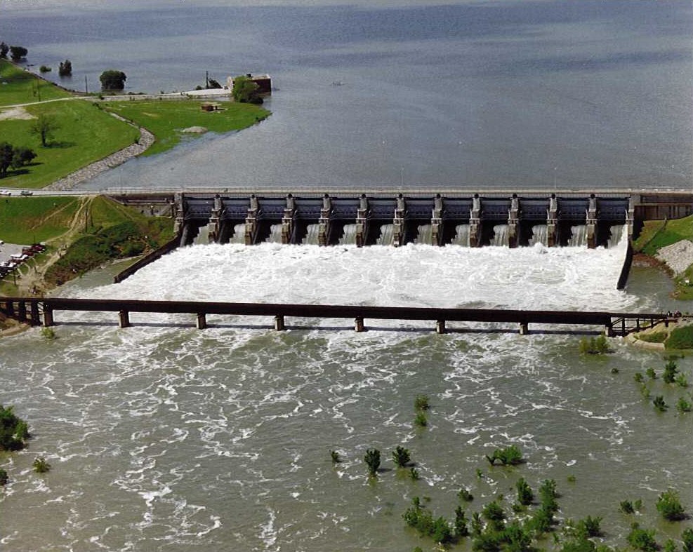
Lavon Lake
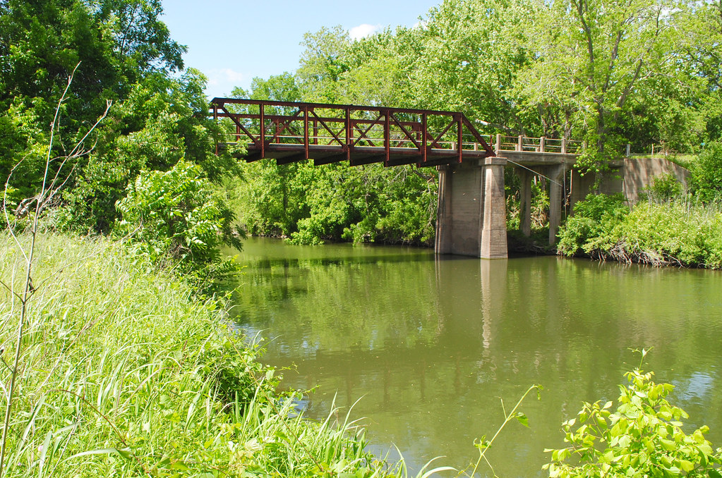
Navasota River
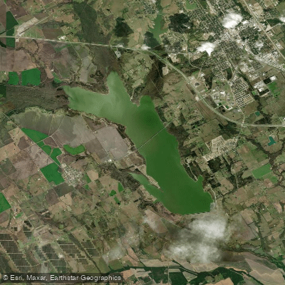
Bardwell Lake
Explore Texas waters
Top paddling waters
Popular Cities
Loading popular cities...
Explore near Lake Waxahachie
Access points
Nearby waters
More in Texas

Smarter Paddling Starts in the App.
Paddleways gives you everything you need to plan smarter, paddle better, and own every trip from first launch to takeout.