Little Cypress Bayou
Little Cypress Bayou
- Boat Ramps
- 7
- Access Points
- 7
- Campsites
- 1
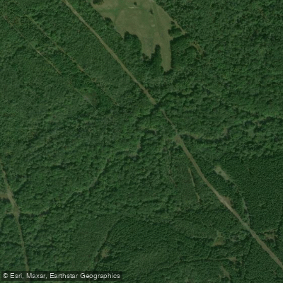
Little Cypress Bayou originates in western Camp County and flows eastward for approximately 63 miles before joining Big Cypress Bayou at the Marion/Harrison County line. The waterway transitions from Little Cypress Creek to Little Cypress Bayou as it enters Harrison County near the Gregg/Harrison County line. This tributary system represents one of the major feeder bayous flowing into Caddo Lake, Texas's largest natural lake. The bayou winds through the Pineywoods region of East Texas, characterized by rolling terrain, fertile bottomlands, and extensive hardwood forests. Towering old-growth hardwoods and sporadic bald cypress draped with Spanish moss line the banks, creating a corridor that provides insight into the area's ecological and cultural history.
The waterway maintains several major tributaries and sloughs, with high water quality supporting diverse sportfish populations and several threatened species. Paddling opportunities exist primarily in the lower reaches of Little Cypress Bayou within Harrison and Marion Counties. The segment from State Highway 155 in Upshur County to US Highway 59 between Harrison and Marion Counties offers the most accessible paddling conditions. Water levels fluctuate seasonally, and the bayou can become intermittent during late summer drought periods, particularly from June through November. Sufficient rainfall typically provides adequate flow for recreational use during spring and early summer months.
The bayou supports exceptional aquatic life, with 32 fish species documented including largemouth bass, spotted bass, and multiple sunfish species. The waterway earned an "exceptional" aquatic life use rating based on high species richness and community diversity. Nineteen species of freshwater mussels inhabit the system, including seven species found in the Harrison/Marion County reach. The threatened Blackside Darter has been documented in these waters.
Riparian vegetation includes diverse stands of mixed hardwood and pine, with oaks, walnut, hickory, river birch, bald cypress, and black gum. Wildlife sightings commonly include white-tailed deer, bobcat, raccoon, mink, nutria, squirrels, and numerous waterfowl species.
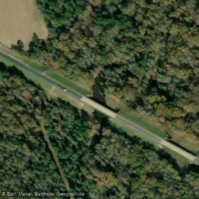
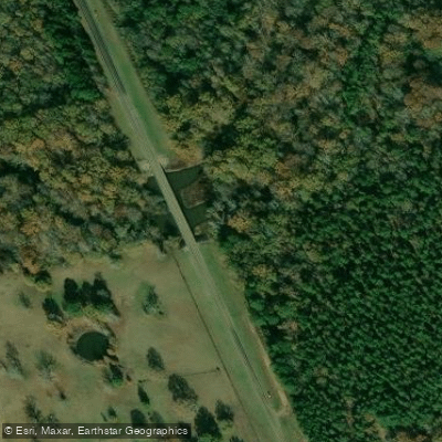
Access points include crossings at US Highway 59 near Jefferson and State Highway 155, though specific public access facilities are limited. The nearest population center is Jefferson in Marion County, located approximately 6.5 miles south of Harleton. Camping is available at Caddo Lake State Park near the bayou's confluence with Big Cypress Bayou.
Paddlers should be prepared for narrow channels, overhanging vegetation, and occasional log jams that may hinder navigation. The bayou flows through primitive wilderness areas with minimal development, requiring self-sufficiency and navigation skills. Water quality meets established standards, though dissolved oxygen levels can be naturally low during summer months.
Water access, boat ramps & amenities
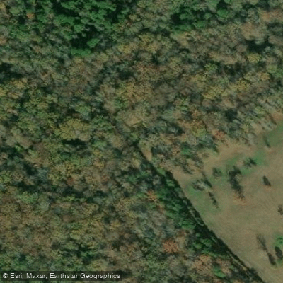
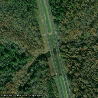
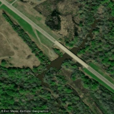
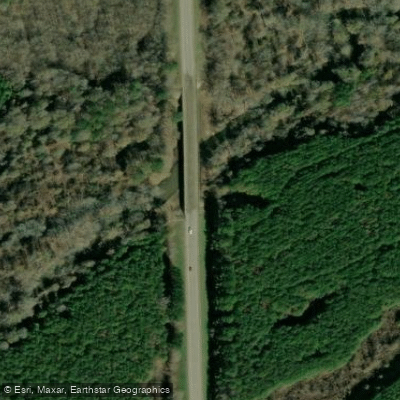
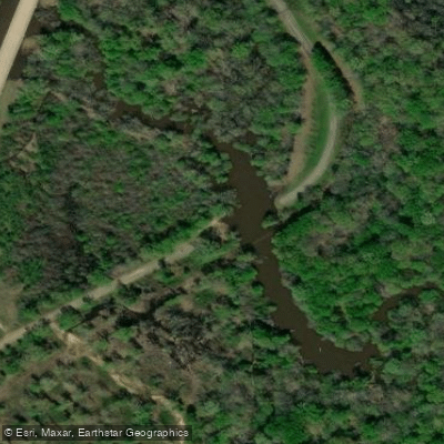
Learn how to get on Little Cypress Bayou. Uncover great paddling access points, boat ramps, and all the facilities you need for an unforgettable day on the water. Some locations shown may border or include private property. Always check property boundaries and applicable regulations before visiting. PaddleWays's Public & Private Land layer can help you plan your access with confidence.
Paddle smarter with real-time insights
Whether you're en route and conditions shift or you're looking for the best spot based on current flows, we enable you to make informed decisions on the fly.








Find Places to Paddle

Over 400,000 Places to Paddle
Every user gets free access to launch points, boat ramps, and public property parcels.


Water and weather conditions (10 day forecast)
See the best times to paddle Little Cypress Bayou and check the forecast before you go.
Little Cypress Bayou nr Jefferson, TX
Paddling near Little Cypress Bayou
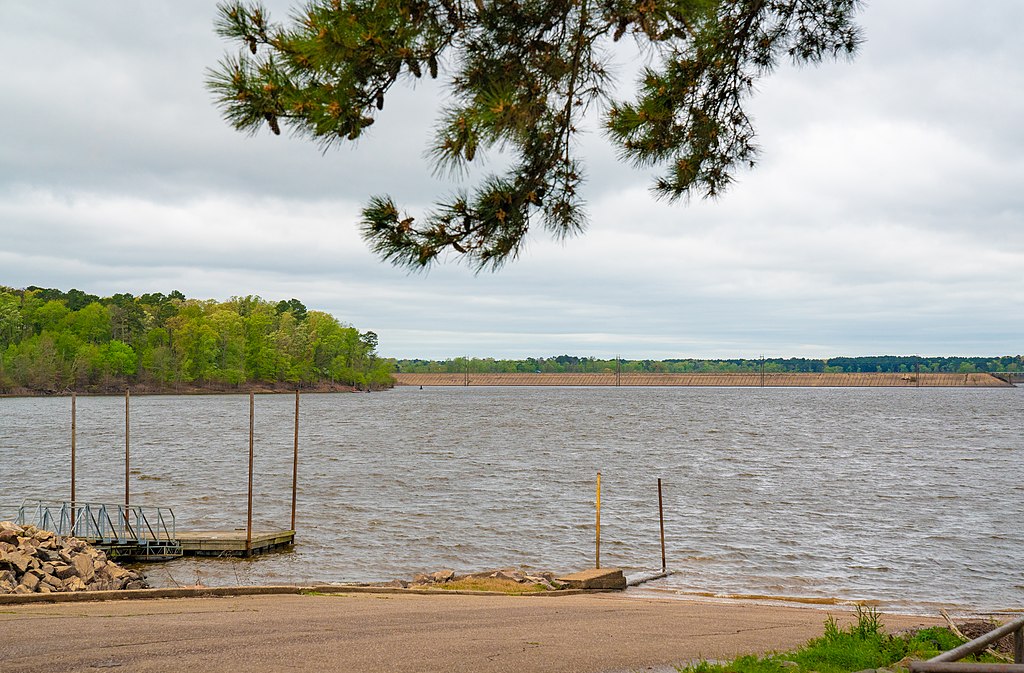
Lake O' the Pines
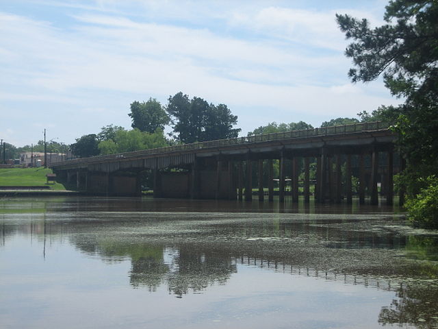
Sabine River
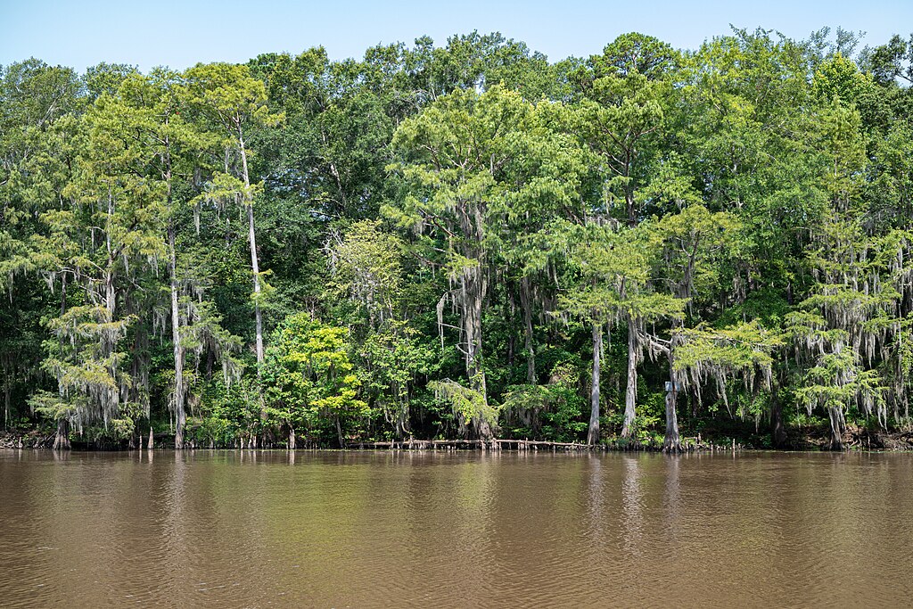
Big Cypress Bayou

Red River
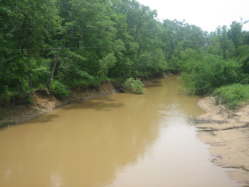
Angelina River
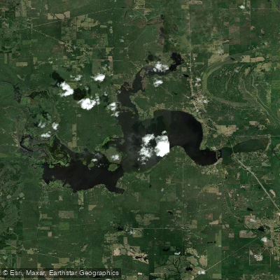
Caddo Lake
Clinton Lake
Clear Lake
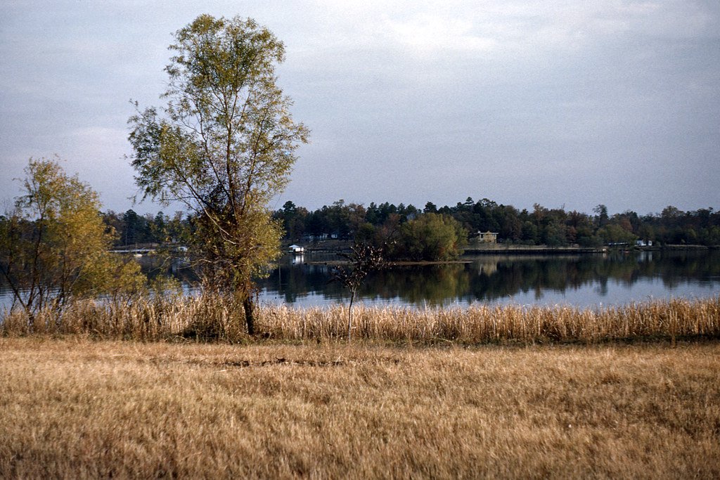
Cross Lake
Explore Texas waters
Top paddling waters
Popular Cities
Loading popular cities...
Explore near Little Cypress Bayou
Access points
Nearby waters
More in Texas

Smarter Paddling Starts in the App.
Paddleways gives you everything you need to plan smarter, paddle better, and own every trip from first launch to takeout.