Curated by PaddleWays
RouteFlatwater
- Distance
- 1.4 mi
- Paddle time
- ~0.5 hrs
- Best for
- Beginners, families
- Put-in → take-out
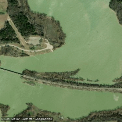
- Britton Park → Soap Creek Confluence
Mountain Creek originates north of Alvarado in Johnson County, flowing approximately 19 miles northeast through a watershed that spans portions of Johnson, Ellis, Tarrant, and Dallas counties before emptying into Joe Pool Lake. This tributary system drains roughly 304 square miles as part of the larger Trinity River Basin, with its headwaters characterized by rural rangeland and agricultural areas that gradually transition to suburban development as the creek approaches the lake.
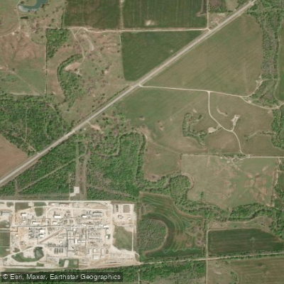
The creek's watershed reflects the dramatic land use changes occurring along the Dallas-Fort Worth metropolitan fringe. The southern reaches near Alvarado maintain a predominantly rural character with cattle ranching, pastureland, and scattered residential development. Moving downstream, the landscape shifts through the cities of Venus and Midlothian, where industrial complexes—particularly along U.S. Route 287—punctuate the agricultural matrix. The northern portions approaching Joe Pool Lake encounter increasing suburban density from Grand Prairie and Cedar Hill.
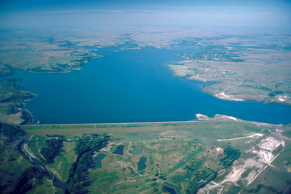
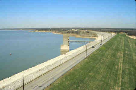
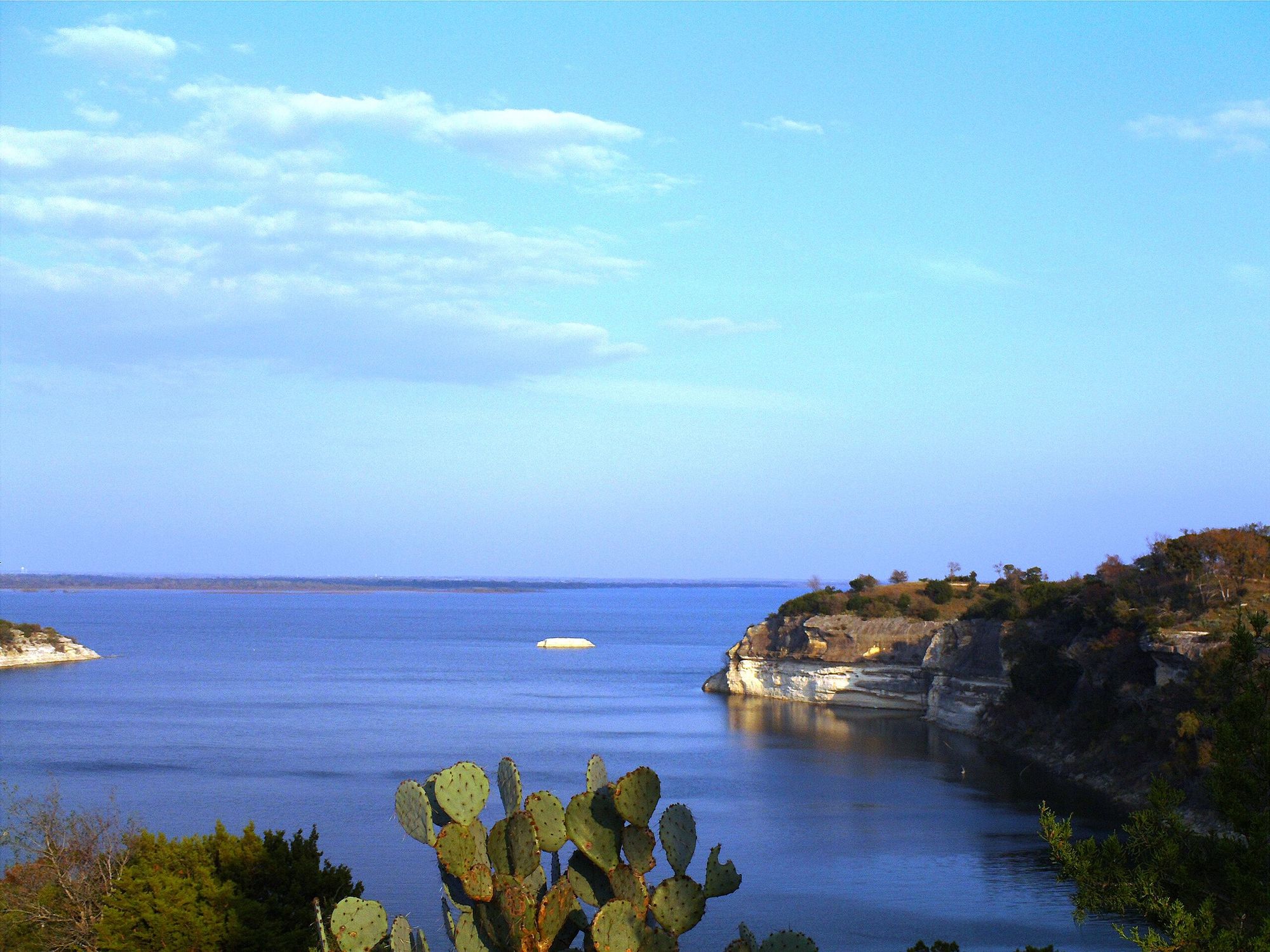
Paddling opportunities exist primarily through the Joe Pool Lake and Walnut Creek Paddling Trail system, which provides access to Mountain Creek's lower reaches near its confluence with the reservoir. Loyd Park at 3401 Ragland Road in Grand Prairie serves as a primary launch point for paddlers exploring these waters.
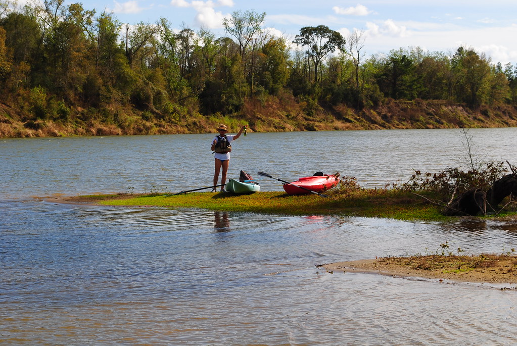
The creek supports a mixed ecological community typical of the Blackland Prairie and Cross Timbers ecoregions. Riparian corridors host deciduous species including oak, ash, sugar hackberry, elm, pecan, and eastern cottonwood. The watershed provides habitat for white-tailed deer and various avian species, though feral hog populations present ongoing management challenges throughout the riparian zones.
Water quality monitoring has documented the creek's response to both agricultural runoff and urban stormwater. The Mountain Creek Regional Wastewater Treatment Facility near Midlothian contributes steady baseflow to the system through discharges to Soap Creek, a tributary. Historical concerns regarding nitrate levels in the Mountain Creek arm of Joe Pool Lake (listed in 2010-2014 assessments) have since been resolved, though ongoing watershed protection efforts address bacteria and nutrient loading from various sources including livestock operations, pet waste, and aging septic systems.
The creek's flow regime responds rapidly to precipitation events, with USGS maintaining a continuous gauging station (08049580) that has collected data since 1987. Soils throughout the watershed include fine sandy loams and silty clays, with some areas exhibiting high permeability that influences both groundwater recharge and surface water quality dynamics.
Access to the creek itself remains limited outside of the Joe Pool Lake interface, with most recreational use concentrated at the reservoir rather than along the creek's upper reaches through the predominantly private agricultural lands of Johnson and Ellis counties.
Curated routes
Hand-picked by the PaddleWays team, with put-ins, take-outs, paddle times and the hazards along the way.
RouteFlatwater
RouteFlatwater
Hazards
No paddler has reported a hazard here yet, so these are the dams, falls and big rapids on our map. Hazards change with flows and storms, so check them before you launch.
From the community
Nobody has shared a trip on Mountain Creek yet. Paddle it, then tell the next paddler how it went.
See exactly where the public can get on and off the river. Launch points and boat ramps are paired with PaddleWays' public land data so you know where you can legally land.
Public shoreline
32%of the river's shoreline is public
Most of the riverbank is private. Launch, land and camp only at public access points.
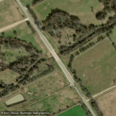
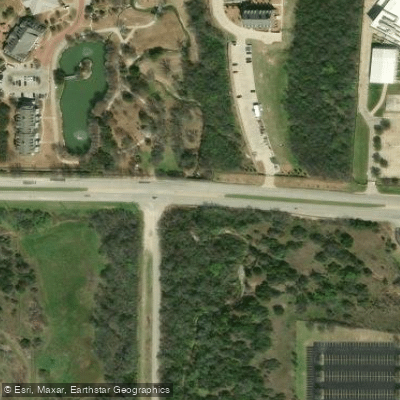
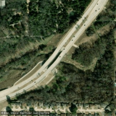
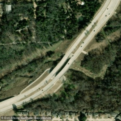
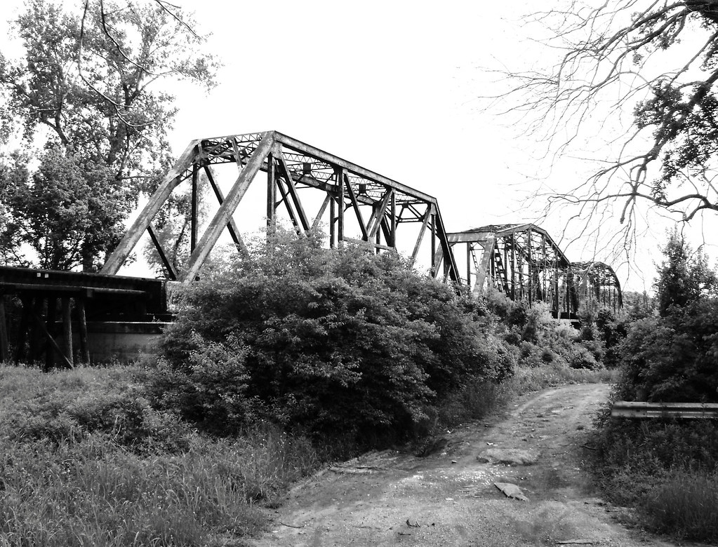
Showing 4 of 10 bridges.
Flows, weather and a route-by-route verdict, so you know which stretch of the Mountain Creek is worth paddling today.
All Flow Stations
Live flows, marked hazards and fresh trip reports from paddlers who were just on the water, all in one place.





Every user gets free access to launch points, boat ramps, and public property parcels.
Loading popular cities...
PaddleWays gives you everything you need to plan smarter, paddle better, and own every trip from first launch to takeout.