Santa Clara River
Santa Clara River
- Boat Ramps
- 0
- Access Points
- 0
- Campsites
- 4
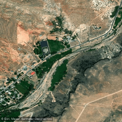
The Santa Clara River is a scenic waterway in southwestern Utah, originating in the Pine Valley Mountains and flowing southwest for approximately 60 miles before joining the Virgin River near St. George. This river system forms a vital watershed in Washington County, supporting diverse ecosystems and recreational opportunities.
Paddling opportunities on the Santa Clara River are limited, with most sections being too shallow or rocky for extended trips. However, the river offers excellent hiking and nature viewing along its course. The Santa Clara River Trail near Pine Valley provides a 2.6-mile out-and-back route that follows the upper river, allowing visitors to experience its beauty up close.
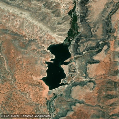
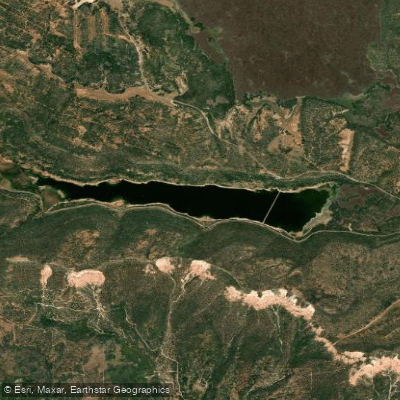
While whitewater paddling is not common on the Santa Clara River itself, the nearby Gunlock Reservoir offers excellent flatwater paddling opportunities. This 266-acre body of water, located 15 miles northwest of St. George, is ideal for kayaking, canoeing, and stand-up paddleboarding. The warm, blue waters and surrounding red sandstone landscape create a stunning backdrop for water activities.
The Santa Clara River's flow is highly seasonal, with peak flows typically occurring in spring due to snowmelt from the Pine Valley Mountains. Summer and fall generally see lower water levels, making these seasons better for hiking and exploring the riverbanks.
The river corridor supports a rich riparian ecosystem, home to cottonwood and willow trees, as well as various bird species and small mammals. The Santa Clara River Reserve, a 6,500-acre area managed by the Bureau of Land Management, protects much of the river's habitat and offers additional recreational opportunities.
Key access points include the Santa Clara River Trail near Pine Valley and Gunlock State Park at Gunlock Reservoir. The towns of Santa Clara, Ivins, and St. George provide nearby amenities and services for visitors.
Historically, the Santa Clara River played a crucial role in supporting Native American communities and early Mormon settlers in the region. Today, it continues to be an important water source for local agriculture and communities.
When exploring the Santa Clara River area, visitors should be aware of potential flash flood dangers, especially during summer monsoon seasons. Additionally, a Special Recreation Permit may be required for commercial or organized group activities on BLM-managed lands along the river.
For those seeking multi-day adventures, Gunlock State Park offers camping facilities, allowing paddlers to enjoy extended trips on the reservoir while exploring the surrounding landscape.
Water access, boat ramps & amenities
Learn how to get on Santa Clara River. Uncover great paddling access points, boat ramps, and all the facilities you need for an unforgettable day on the water. Some locations shown may border or include private property. Always check property boundaries and applicable regulations before visiting. PaddleWays's Public & Private Land layer can help you plan your access with confidence.
Paddle smarter with real-time insights
Whether you're en route and conditions shift or you're looking for the best spot based on current flows, we enable you to make informed decisions on the fly.








Find Places to Paddle

Over 400,000 Places to Paddle
Every user gets free access to launch points, boat ramps, and public property parcels.


Water and weather conditions (10 day forecast)
See the best times to paddle Santa Clara River and check the forecast before you go.
SANTA CLARA RIVER NEAR PINE VALLEY, UT
All Flow Stations
Explore Utah waters
Top paddling waters
Popular Cities
Loading popular cities...
Explore near Santa Clara River

Smarter Paddling Starts in the App.
Paddleways gives you everything you need to plan smarter, paddle better, and own every trip from first launch to takeout.