Navajo Lake
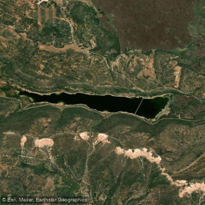
Navajo Lake
- Boat Ramps
- 0
- Access Points
- 0
- Campsites
- 2
Navajo Lake, located in southern Utah about 25 miles east of Cedar City, offers paddlers a scenic mountain lake experience. The lake was formed by an ancient lava flow damming the eastern end of the valley, with the lava still visible today. A man-made dike at the eastern end helps maintain water levels.
Several access points are available for paddlers. Navajo Lodge near the west end allows free launching for paddlecraft. There's also a gravel ramp at the east end of Navajo Lake Campground, though parking can be limited. Another ramp is located east of the dike.
The lake is relatively shallow, reaching depths of no more than 25 feet. Its calm waters make it suitable for beginners and experienced paddlers alike. Surrounded by pine forests and red rock cliffs, the lake provides picturesque views. Wildlife viewing and fishing for trout species are popular activities while paddling.
Paddlers should be aware of potential afternoon thunderstorms, especially during monsoon season in late summer. Life jackets are recommended for all water activities. Utah requires a self-certification that boats have been dry for at least 7 days if coming from waters infected with invasive species.
Amenities include Navajo Lake Lodge, which offers boat rentals including canoes and kayaks. The nearby campground has 27 sites with basic facilities. For longer stays, 11 rustic cabins are available at the lodge.
Originally called "Pa-Cu-Ay" or "Cloud Lake" by the Paiutes, Navajo Lake got its current name after an encounter between settlers and Navajo travelers. Its higher elevation provides cooler temperatures than much of southern Utah, making it a refreshing summer paddling destination.
Water access, boat ramps & amenities
Learn how to get on Navajo Lake. Uncover great paddling access points, boat ramps, and all the facilities you need for an unforgettable day on the water. Some locations shown may border or include private property. Always check property boundaries and applicable regulations before visiting. PaddleWays's Public & Private Land layer can help you plan your access with confidence.
Paddle smarter with real-time insights
Whether you're en route and conditions shift or you're looking for the best spot based on current flows, we enable you to make informed decisions on the fly.








Find Places to Paddle

Over 400,000 Places to Paddle
Every user gets free access to launch points, boat ramps, and public property parcels.


Water and weather conditions (10 day forecast)
See the best times to paddle Navajo Lake and check the forecast before you go.
No forecast data available.
Paddling near Navajo Lake
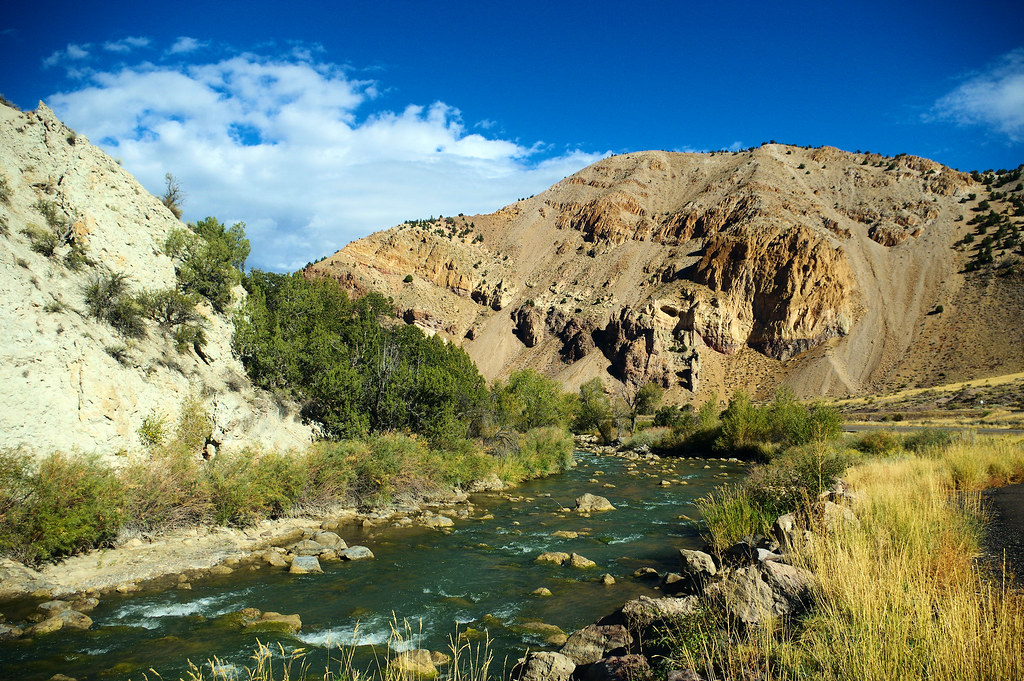
Sevier River
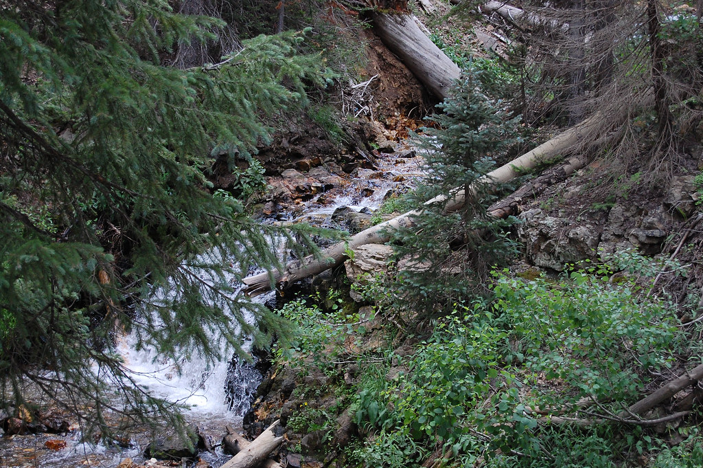
Beaver River
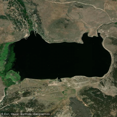
Panguitch Lake
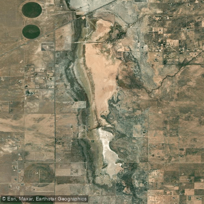
Quichapa Lake
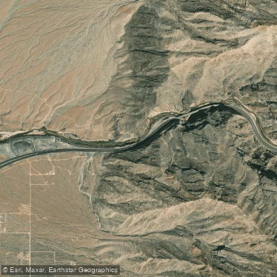
Virgin River
Rush Lake
Minersville Reservoir
North Fork Virgin River
Kanab Creek
Explore Utah waters
Top paddling waters
Popular Cities
Loading popular cities...
Explore near Navajo Lake

Smarter Paddling Starts in the App.
Paddleways gives you everything you need to plan smarter, paddle better, and own every trip from first launch to takeout.