Quichapa Lake
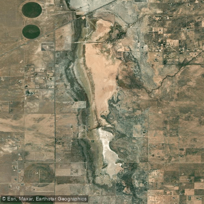
Quichapa Lake
- Boat Ramps
- 0
- Access Points
- 0
- Campsites
- 0
Quichapa Lake, located in Iron County, Utah, is a shallow, ephemeral lake that has been the focus of recent water conservation efforts. The lake is part of a closed drainage system and has historically suffered from high evaporation rates and poor water quality due to its alkaline soil composition.
Access to Quichapa Lake is primarily via State Route 56, which runs along its northern edge. The lake bed is often dry, particularly in its southern portion, making traditional paddling activities challenging or impossible for much of the year.
A major conservation project has recently been undertaken to improve water management at Quichapa Lake. An earthen dike has been constructed to bisect the lake bed, separating the northern and southern portions. This project aims to retain usable water in the northern section while allowing less desirable flood waters to flow into the southern end.
The northern end of Quichapa Lake now features a small wildlife pond designed as habitat for waterfowl. This area may offer limited paddling opportunities when water levels permit.
Water quality in Quichapa Lake varies significantly between the northern and southern sections. The southern end has extremely high levels of total dissolved solids (TDS) due to the alkaline soil, making the water essentially unusable. The northern section has lower TDS levels, allowing for some agricultural use of the water.
The lake's aesthetic appearance is characterized by a dry, alkaline lake bed for much of the year. When water is present, it's likely to be shallow and murky due to the high mineral content of the soil.
Wildlife of interest includes waterfowl that may use the newly created conservation pond. The surrounding area is primarily agricultural, with alfalfa fields nearby benefiting from the water conservation efforts.
Quichapa Lake's unique geographical characteristic is its role in the local watershed. It receives water from Coal Creek and has been a focal point for aquifer recharge projects in the Cedar Valley area.
Historically, Quichapa Lake has been significant as a challenge for local water management. Its tendency to collect and rapidly evaporate valuable water has spurred innovative conservation efforts to better utilize the limited water resources in this arid region.
It's important to note that Quichapa Lake is not primarily managed for recreational purposes. The recent conservation projects focus on water retention for agricultural use and aquifer recharge rather than creating opportunities for paddling or other water sports. Potential paddlers should be aware that water levels may be inconsistent and access for recreational purposes may be limited or restricted.
Water access, boat ramps & amenities
Learn how to get on Quichapa Lake. Uncover great paddling access points, boat ramps, and all the facilities you need for an unforgettable day on the water. Some locations shown may border or include private property. Always check property boundaries and applicable regulations before visiting. PaddleWays's Public & Private Land layer can help you plan your access with confidence.
Paddle smarter with real-time insights
Whether you're en route and conditions shift or you're looking for the best spot based on current flows, we enable you to make informed decisions on the fly.








Find Places to Paddle

Over 400,000 Places to Paddle
Every user gets free access to launch points, boat ramps, and public property parcels.


Water and weather conditions (10 day forecast)
See the best times to paddle Quichapa Lake and check the forecast before you go.
No forecast data available.
Paddling near Quichapa Lake
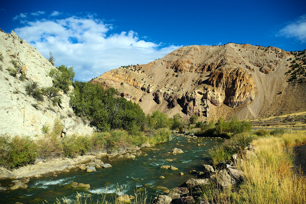
Sevier River
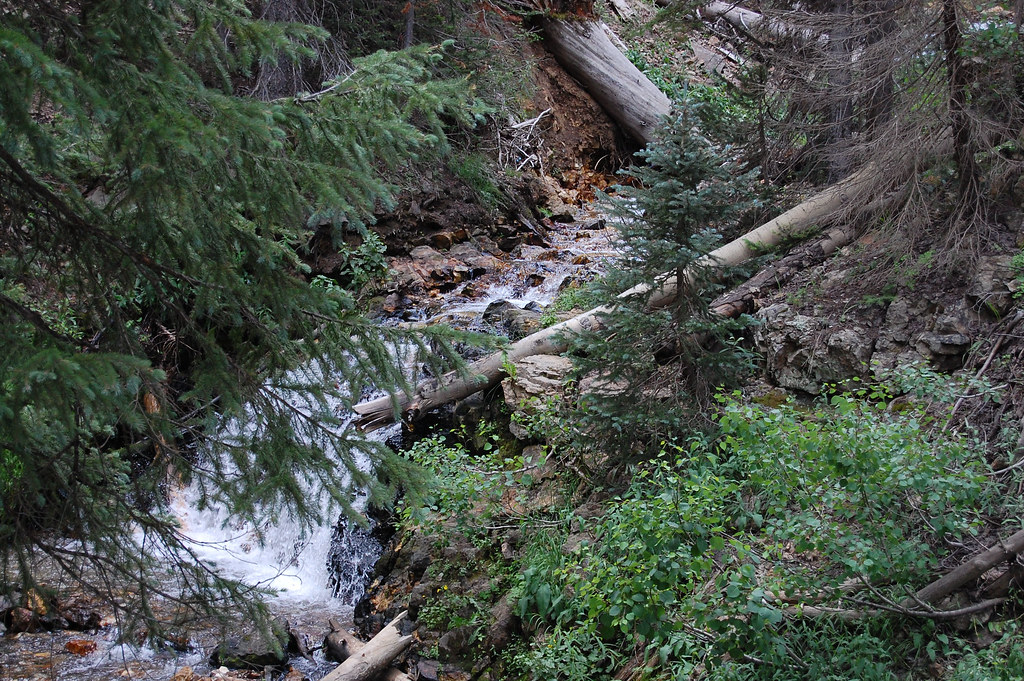
Beaver River
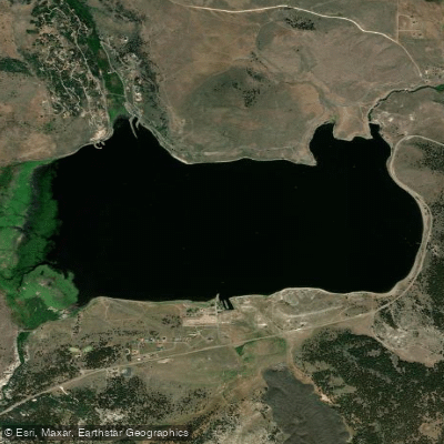
Panguitch Lake
Navajo Lake
Virgin River
Rush Lake
Minersville Reservoir
North Fork Virgin River
Kanab Creek
Explore Utah waters
Top paddling waters
Popular Cities
Loading popular cities...
Explore near Quichapa Lake

Smarter Paddling Starts in the App.
Paddleways gives you everything you need to plan smarter, paddle better, and own every trip from first launch to takeout.