Paddling in Vermont
- Lakes
- 598
- Rivers
- 1,292
- Access
- 185
- Boat Ramps
- 299
- Shops
- 3
Vermont is a state of two paddling worlds held in tension: a big open-water lake on the west side, and a dense web of snowmelt-fed creeks tumbling out of the Green Mountains everywhere else.
Threading between them is a flatwater touring tradition deep enough that the Northern Forest Canoe Trail — the longest inland water trail in the country — is headquartered here, in Waitsfield.
The whitewater scene runs on snowmelt and rain, which means it runs hard from late March into May and then mostly goes to sleep until autumn rains wake it up.
The Lower Mad River below the Moretown hydro dam is the home run — two miles of Class III bedrock that holds water more reliably than most things in the state and serves as everyone's first Class III and everyone's warmup.
Steeper creekers chase Ball Mountain Brook, Patterson Brook, and the Upper Moose when the gauges cooperate.
The community lives on Creek VT, where local boaters post level reports and correlate USGS readings to actual run conditions — essential infrastructure in a state with almost no managed releases.
The big exception is the West River below Ball Mountain Dam, where the Army Corps opens the gates two weekends a year and Jamaica State Park turns into a paddling festival, with Landslide and The Dumplings drawing rafters and hardshells alike.
Miss those weekends and the riverbed is dry. Lake Champlain is the other half of the equation entirely.
A hundred and twenty miles of craggy shoreline, exposed island crossings, prevailing south winds, and partial federal jurisdiction up near the Canadian border — this is real sea-kayak water.
The Lake Champlain Paddlers' Trail, built out by the Champlain Kayak Club and the Lake Champlain Committee since 1996, links 600-plus campsites at roughly day-paddle spacing. It's the kind of route you can spend a week on and barely repeat a campsite.
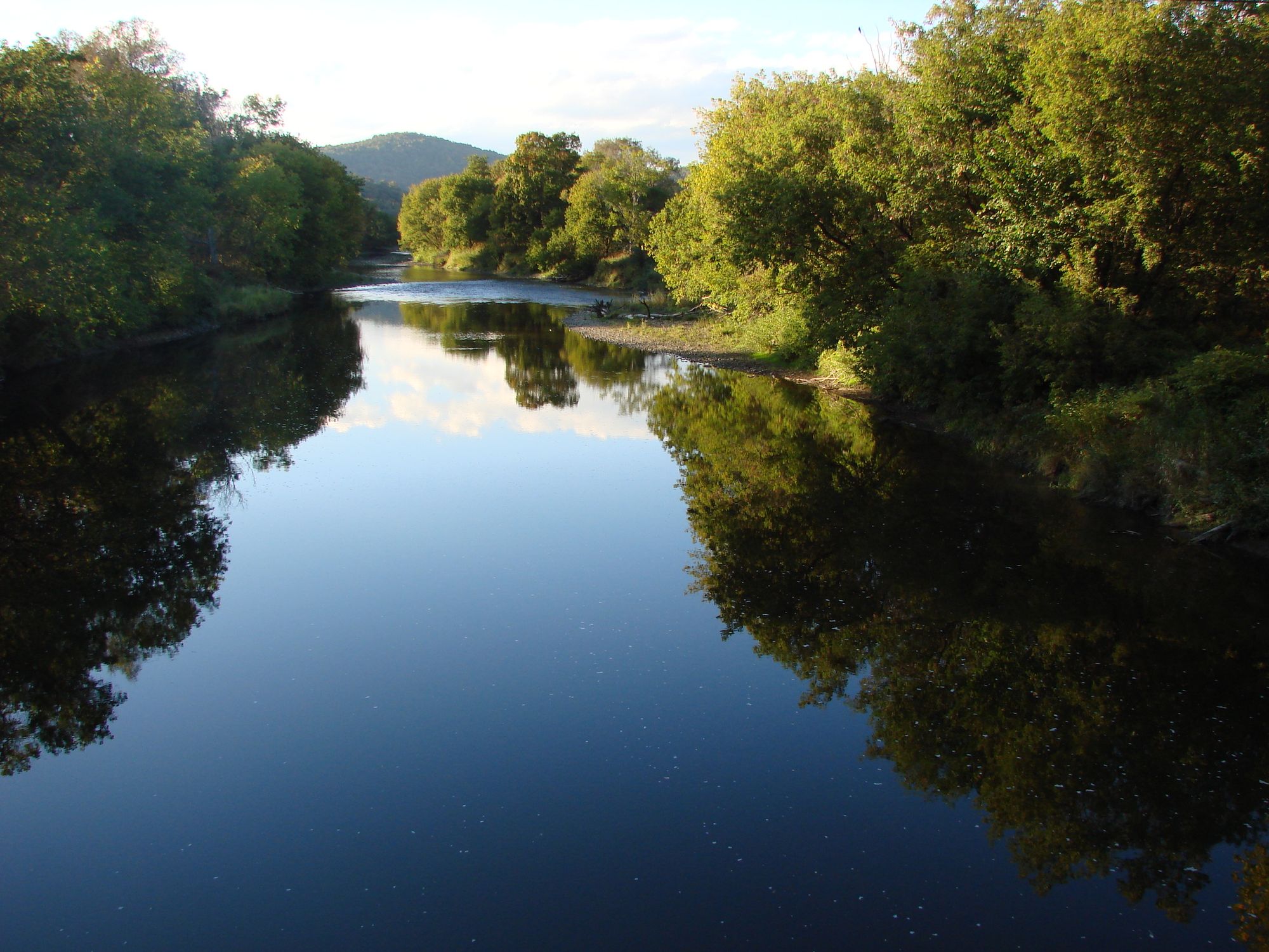
Inland, flatwater is everywhere. The White River — Vermont's longest undammed — runs day trips. The Lamoille rolls past Jeffersonville.
The Connecticut forms the eastern border, with Hartland Rapids picking up to Class II at higher flows and a daily hydropower fluctuation paddlers learn to plan around.
Green River Reservoir, with its 19 miles of undeveloped shoreline and paddle-in-only campsites, is the state's quiet-water benchmark. And up in the Northeast Kingdom, the Nulhegan threads boreal forest and beaver-built wetlands through the Silvio O.
Conte refuge — eight miles of slow, swift water with guaranteed beaver-dam portages and loon-nesting closures from May through July that paddlers are expected to honor. Bring a creek boat for spring, a touring boat for the lake, and watch the gauges.
Paddle smarter with real-time insights
Whether you're en route and conditions shift or you're looking for the best spot based on current flows, we enable you to make informed decisions on the fly.







Vermont licenses and regulations
Explore Vermont waters
Top paddling waters
Popular Cities
Loading popular cities...
Smarter Paddling Starts in the App.
Paddleways gives you everything you need to plan smarter, paddle better, and own every trip from first launch to takeout.