Lamoille River
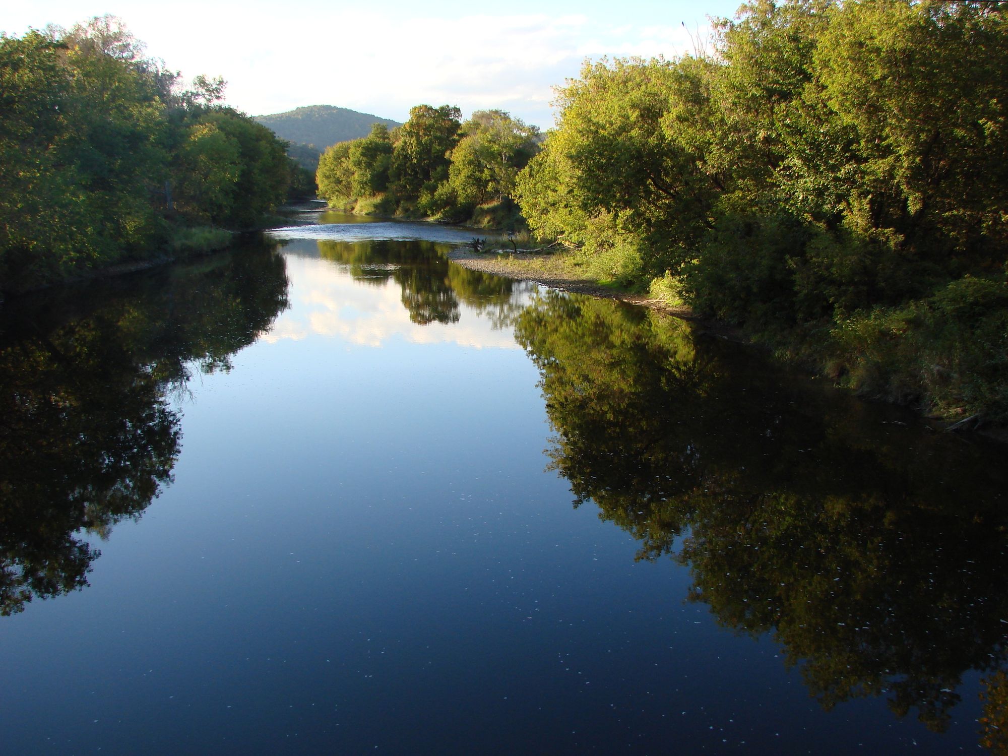
Lamoille River
- Boat Ramps
- 8
- Access Points
- 20
- Campsites
- 17
The Lamoille River is one of Vermont's premier paddling destinations, offering a diverse range of experiences for canoeists and kayakers as it winds its way 85 miles from its headwaters in Greensboro to Lake Champlain. This scenic waterway showcases the natural beauty of Vermont's Green Mountains, passing through picturesque valleys, dense forests, and charming New England towns.
The river's character varies greatly along its course, providing options for paddlers of all skill levels. The upper reaches near Hardwick feature some Class II-III rapids, offering exciting whitewater for intermediate paddlers. As the river progresses westward, it transitions to mostly flatwater and gentle Class I-II rapids, making it ideal for beginners and families.
One of the most popular sections runs from Johnson to Jeffersonville, a 13.4-mile stretch of mostly calm water punctuated by the occasional Class II rapid. For more experienced paddlers, the Milton Falls section presents a challenging Class V run, though it should only be attempted by experts. Below Peterson Dam in Milton, paddlers can enjoy a mix of flatwater and Class II-III rapids as the river makes its final approach to Lake Champlain.
The Lamoille River Paddlers' Trail, a community-led initiative, has established a network of access points, primitive campsites, and portage trails along the river. This infrastructure supports both day trips and multi-day adventures, with campsites spaced 10-15 miles apart, allowing for various overnight trip options.
Spring typically offers the highest water levels, making it the best time for whitewater enthusiasts. Summer and early fall provide more stable conditions for flatwater paddling and are ideal for families and beginners. The river is generally paddleable from late April through October, depending on water levels.
Wildlife enthusiasts will appreciate the opportunity to spot herons, bald eagles, and other riparian species along the river's course. The river is also known for its excellent trout fishing, particularly in the quieter stretches.
Notable landmarks include the historic Poland Covered Bridge near Jeffersonville, Ithiel Falls (a Class II+ rapid that requires caution), and Fairfax Falls. The river passes through or near several charming Vermont towns, including Hardwick, Johnson, Jeffersonville, and Fairfax, each offering amenities and a glimpse into Vermont's rural culture.
Safety considerations include being aware of strainers, particularly in areas where granite blocks have been placed to control ice flow. Paddlers should also be cautious of changing water levels, especially near dams and in sections like the Waterville Ledges, where river volume can be amplified.
For those seeking a multi-day adventure, a popular option is to paddle the entire 85-mile length of the river, typically taking 3-5 days depending on skill level and desired pace. This trip offers a comprehensive experience of the river's changing character and the surrounding landscape.
The Lamoille River holds significant cultural and historical importance for Vermont, having played a role in the state's development and continuing to be a valued recreational resource. Today, it stands as a testament to Vermont's commitment to preserving its natural heritage while providing outstanding outdoor recreation opportunities.
Water access, boat ramps & amenities
Learn how to get on Lamoille River. Uncover great paddling access points, boat ramps, and all the facilities you need for an unforgettable day on the water. Some locations shown may border or include private property. Always check property boundaries and applicable regulations before visiting. PaddleWays's Public & Private Land layer can help you plan your access with confidence.
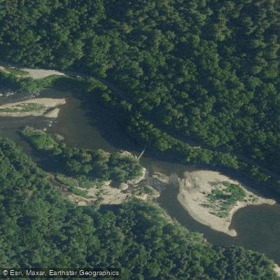
Johnson Access
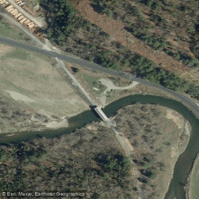
Fisher Bridge Access
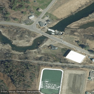
Hardwick Access
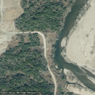
Lamoille River Access
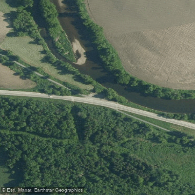
Lamoille Valley Rail Trail Access
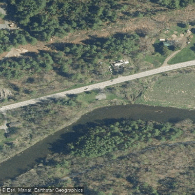
Lamoille River Access
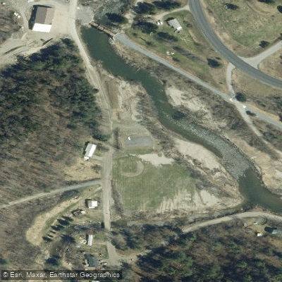
Wolcott Field Access
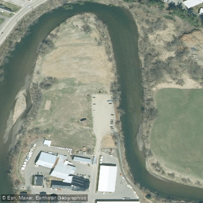
Oxbow Riverfront Park Access
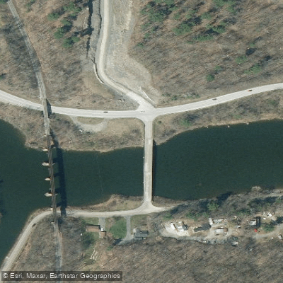
Arrowhead Mountain Lake Access
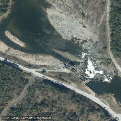
Cadyville Falls Access
Paddle smarter with real-time insights
Whether you're en route and conditions shift or you're looking for the best spot based on current flows, we enable you to make informed decisions on the fly.








Find Places to Paddle

Over 400,000 Places to Paddle
Every user gets free access to launch points, boat ramps, and public property parcels.


Water and weather conditions (10 day forecast)
See the best times to paddle Lamoille River and check the forecast before you go.
LAMOILLE RIVER AT JOHNSON, VT
All Flow Stations
Paddling near Lamoille River
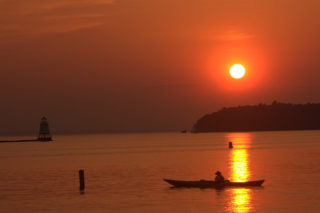
Lake Champlain
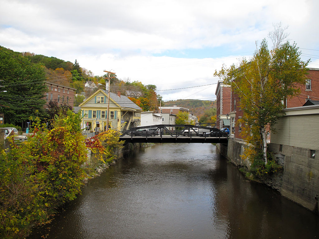
Winooski River
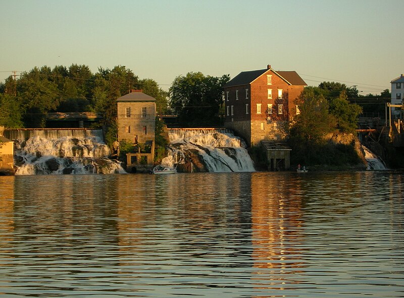
Otter Creek
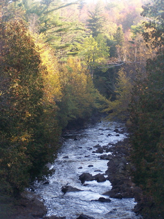
Saranac River
Lake George
New Haven River
Schroon River

Hudson River
La Chute
Explore Vermont waters
Top paddling waters
Popular Cities
Loading popular cities...
Explore near Lamoille River
Access points
Nearby waters
More in Vermont

Smarter Paddling Starts in the App.
Paddleways gives you everything you need to plan smarter, paddle better, and own every trip from first launch to takeout.