Lake Memphremagog
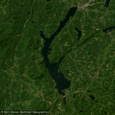
Lake Memphremagog
- Boat Ramps
- 2
- Access Points
- 2
- Campsites
- 4
Lake Memphremagog is a large lake straddling the Vermont-Quebec border, with its southern portion in Vermont's Northeast Kingdom. The lake's South Bay, a shallow appendage surrounded by low hills, offers protected paddling when north winds make the main lake challenging. South Bay is known for exceptional birding and wildlife viewing opportunities, including herons, kingfishers, and beavers.
Access points include the Vermont Fish and Wildlife South Arm Access Area at 619 Coventry Street in Newport, and a second access on Glen Road for the Barton River. The Black and Barton Rivers feed into South Bay, offering side trips through the South Bay Wildlife Management Area. The entrance to the Black River can be difficult to spot among the tall grasses.
For longer trips, Eagle Point provides an isolated primitive campsite on the eastern side of Lake Memphremagog, accessible only by water. Paddlers can launch from Johns River Ramp for a two-mile paddle to this site, which offers tent platforms and a privy but prohibits campfires.
Lake Memphremagog can experience harsh weather and rough water, with winds and waves becoming dangerous quickly. Paddlers should check weather forecasts before setting out. The lake crosses the international border, requiring paddlers to register at waterfront customs when entering Quebec or the US. All boats must display an aquatic nuisance inspection sticker on the Canadian side of the lake.
The town of Newport, located on the main lake, provides amenities including lodging, restaurants, grocery stores, and outfitters. The Northeast Kingdom Tasting Center and Kingdom Brewing offer local food and drink options for post-paddle refreshment.
Water access, boat ramps & amenities
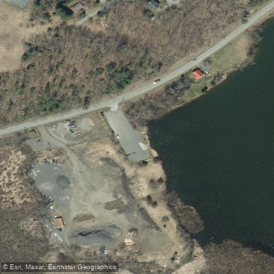
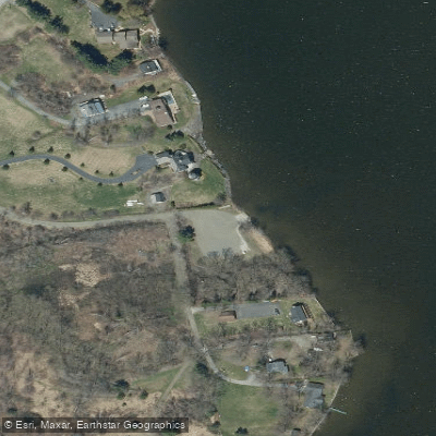
Learn how to get on Lake Memphremagog. Uncover great paddling access points, boat ramps, and all the facilities you need for an unforgettable day on the water. Some locations shown may border or include private property. Always check property boundaries and applicable regulations before visiting. PaddleWays's Public & Private Land layer can help you plan your access with confidence.
Paddle smarter with real-time insights
Whether you're en route and conditions shift or you're looking for the best spot based on current flows, we enable you to make informed decisions on the fly.








Find Places to Paddle

Over 400,000 Places to Paddle
Every user gets free access to launch points, boat ramps, and public property parcels.


Water and weather conditions (10 day forecast)
See the best times to paddle Lake Memphremagog and check the forecast before you go.
MEMPHREMAGOG (LAC) A MAGOG
Paddling near Lake Memphremagog
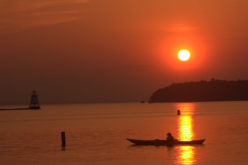
Lake Champlain
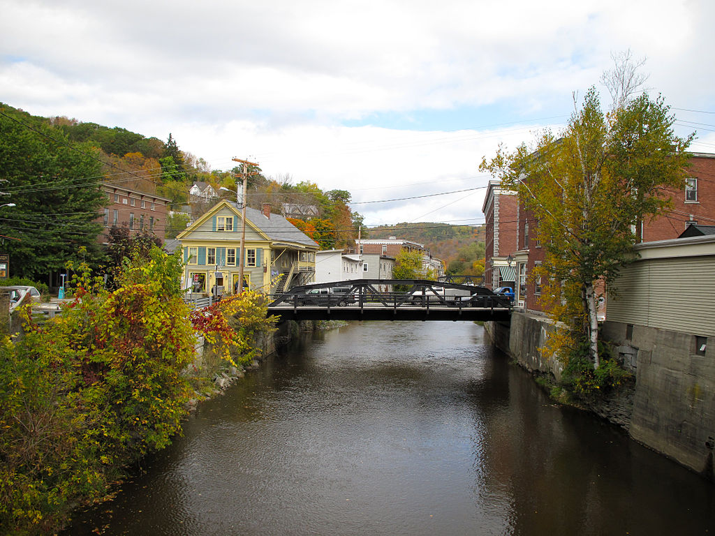
Winooski River
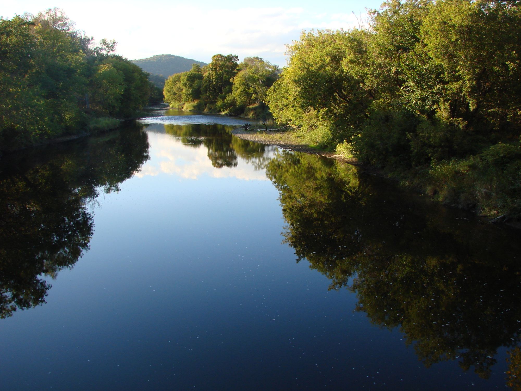
Lamoille River
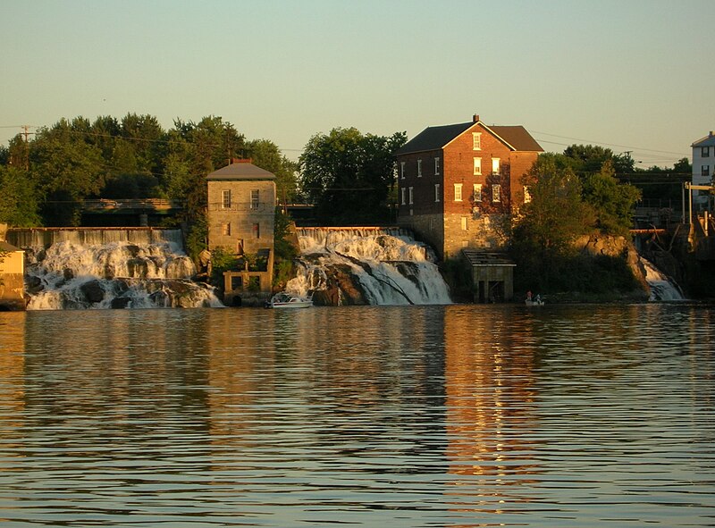
Otter Creek
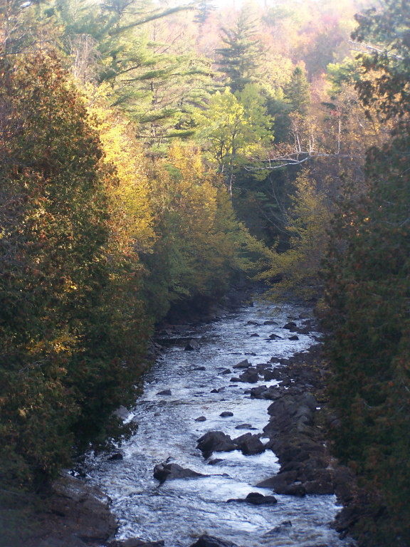
Saranac River
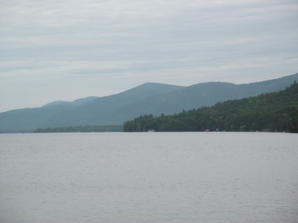
Lake George
New Haven River
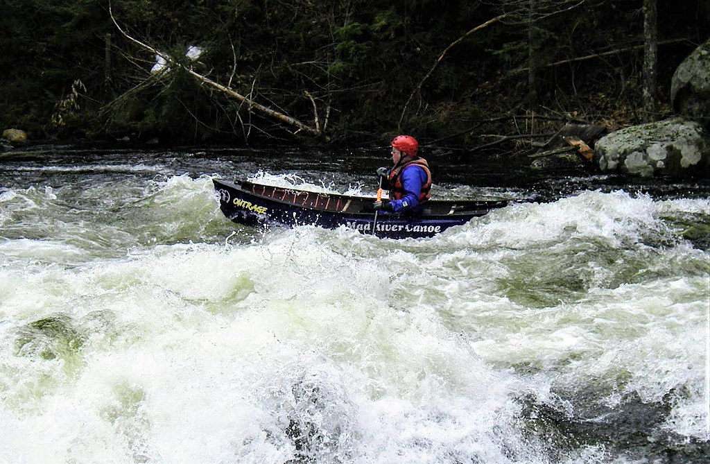
Schroon River

Hudson River
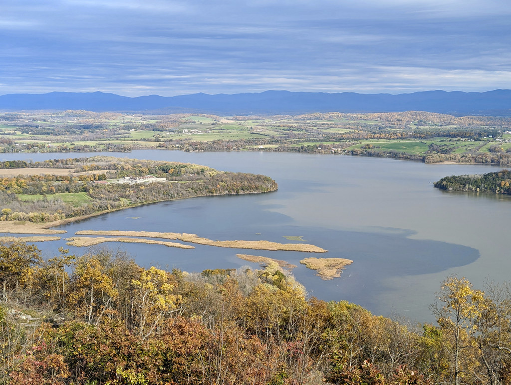
La Chute
Explore Vermont waters
Top paddling waters
Popular Cities
Loading popular cities...
Explore near Lake Memphremagog
Access points
Nearby waters
More in Vermont

Smarter Paddling Starts in the App.
Paddleways gives you everything you need to plan smarter, paddle better, and own every trip from first launch to takeout.