Lake Willoughby
Lake Willoughby
- Boat Ramps
- 2
- Access Points
- 4
- Campsites
- 8
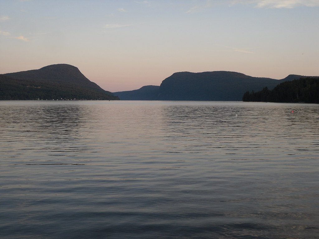
Lake Willoughby is a dramatic glacial lake in Vermont's Northeast Kingdom, carved between the sheer cliffs of Mount Pisgah and Mount Hor. The lake's deep blue waters stretch for 5 miles, reaching depths over 300 feet in places. Two public beaches provide access points for paddlers - a large beach at the north end with ample parking, and a clothing-optional beach at the south end near White Caps Campground, which rents kayaks, paddleboards and canoes.
The lake is renowned for its clear waters, allowing visibility to the bottom in many areas. Its fjord-like setting offers stunning mountain views and opportunities to observe loons. The west side of the lake is less developed, with no through road. Paddlers can explore charming shoreline camps with names like "Brookadoon" and "Restmore."
Water temperatures can be chilly due to the lake's significant depth. Motorized boat traffic is minimal, creating a peaceful paddling environment. The Willoughby Lake Store near the north end provides amenities like food, drinks and supplies.
Popular hikes in the area include Mount Pisgah and Mount Hor, both offering expansive views of the lake. The surrounding Willoughby State Forest provides additional recreational opportunities. Nearby Long Pond offers a quieter paddling option with an island to explore.
When planning a visit, be aware that facilities and some businesses in the area operate seasonally. The lake's dramatic scenery is captivating year-round, but paddling is most comfortable in summer and early fall when temperatures are milder.
Water access, boat ramps & amenities
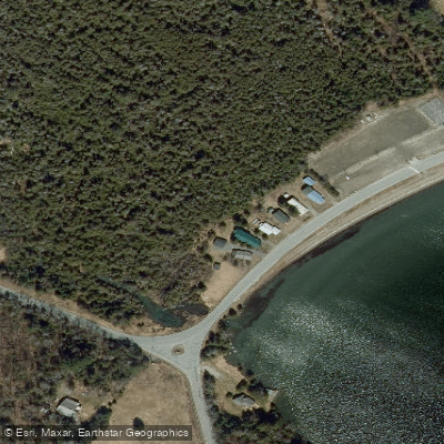
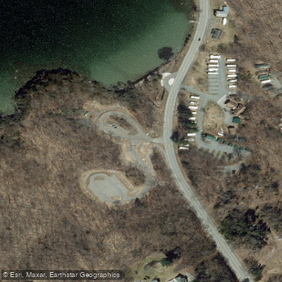
Learn how to get on Lake Willoughby. Uncover great paddling access points, boat ramps, and all the facilities you need for an unforgettable day on the water. Some locations shown may border or include private property. Always check property boundaries and applicable regulations before visiting. PaddleWays's Public & Private Land layer can help you plan your access with confidence.
Paddle smarter with real-time insights
Whether you're en route and conditions shift or you're looking for the best spot based on current flows, we enable you to make informed decisions on the fly.








Find Places to Paddle

Over 400,000 Places to Paddle
Every user gets free access to launch points, boat ramps, and public property parcels.


Water and weather conditions (10 day forecast)
See the best times to paddle Lake Willoughby and check the forecast before you go.
No forecast data available.
Paddling near Lake Willoughby
Lake Champlain
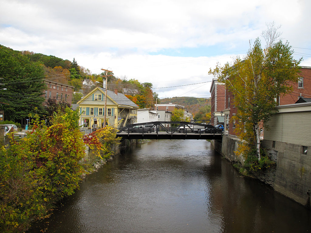
Winooski River
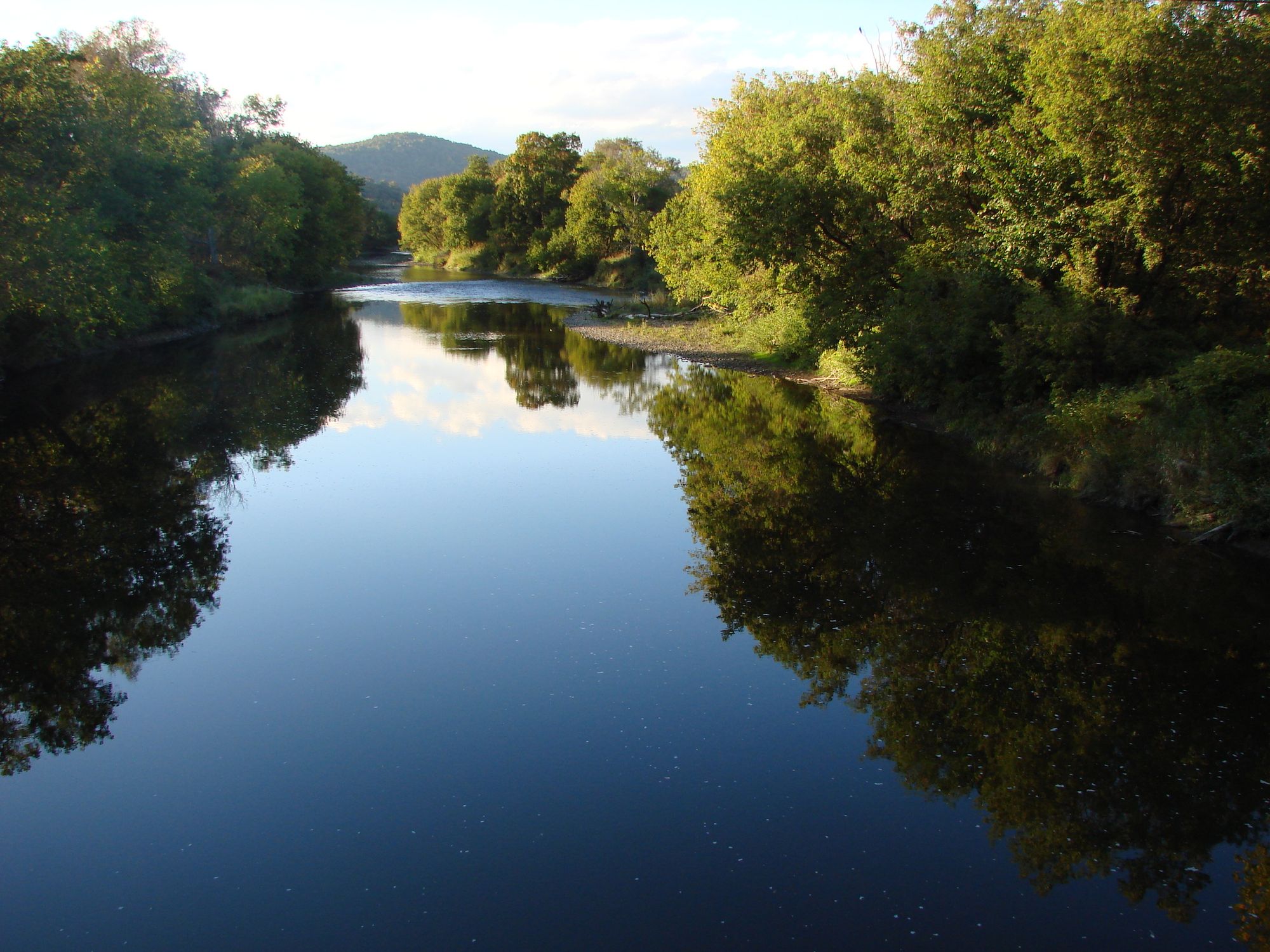
Lamoille River
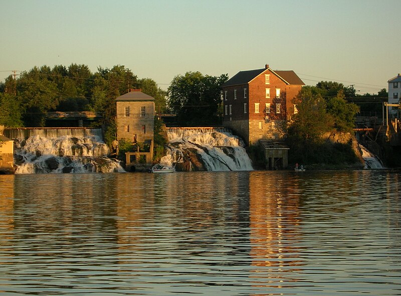
Otter Creek
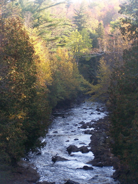
Saranac River
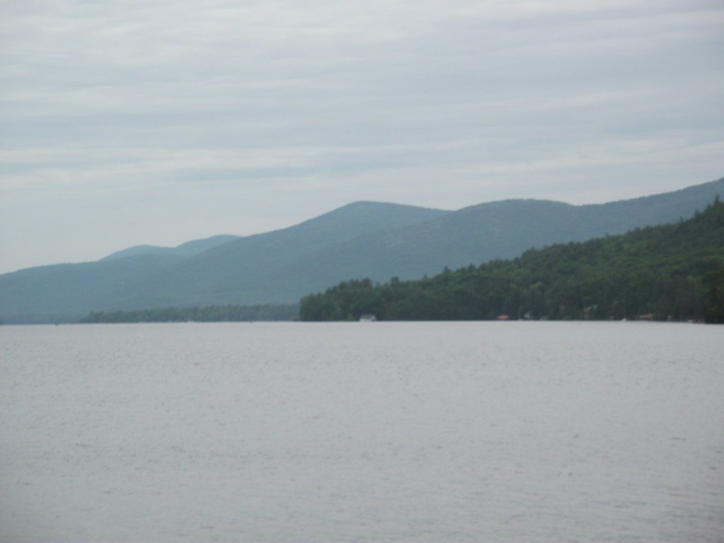
Lake George
New Haven River
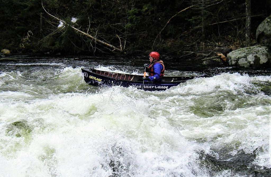
Schroon River

Hudson River
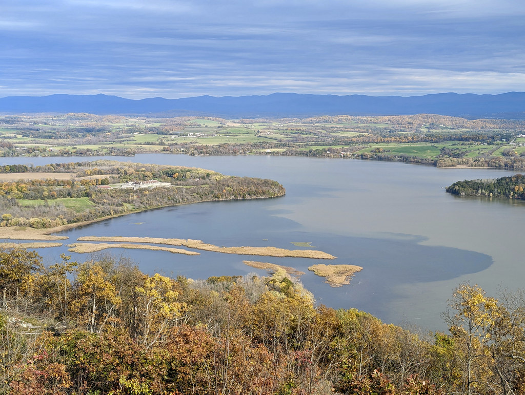
La Chute
Explore Vermont waters
Top paddling waters
Popular Cities
Loading popular cities...
Explore near Lake Willoughby
Access points
- Willoughby State Forest Boat Ramp
- Lake Willoughby Boat Ramp
- North Beach Access
- Willoughby Lake South End Access
- White Caps Campground
- Willoughby State Forest Campground
- Will-o-Wood Campground
- Barton Town Forest Campground
- Bald Hill Wma Campground
- Pageant Park Campground
- Clyde River Campground
- Belview Campground
- All 13 spots
Nearby waters
More in Vermont

Smarter Paddling Starts in the App.
Paddleways gives you everything you need to plan smarter, paddle better, and own every trip from first launch to takeout.