Lake Champlain
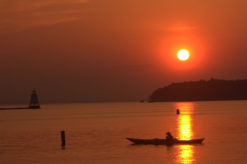
Lake Champlain
- Boat Ramps
- 68
- Access Points
- 80
- Campsites
- 53
Lake Champlain, straddling the border of Vermont and New York, offers diverse paddling experiences across its 120-mile length and 12-mile width. The Lake Champlain Paddlers' Trail, established in 1996, provides over 40 access points and 600 campsites along the shoreline. Popular launch sites include the Burlington Waterfront in Vermont and Larrabees Point in Shoreham.
Paddlers should be aware of wind conditions, which can create choppy waters, especially in open areas. Wearing a personal flotation device is required. The lake's vast size means both sheltered bays and challenging open waters are available. Water quality is generally good, though some areas have invasive plants like Eurasian milfoil.
Notable paddling destinations include the Champlain Islands, offering secluded coves and beaches, and the historically significant southern section near Fort Ticonderoga. Wildlife viewing opportunities abound, with diverse bird species, fish, and occasional larger animals like deer visible from the water.
The paddling season typically runs from late spring through early fall. Summer temperatures average in the mid-70s to mid-80s Fahrenheit, ideal for water activities. Fall brings cooler temperatures but stunning foliage views. Early mornings and late afternoons often provide the calmest conditions.
Numerous amenities cater to paddlers, including kayak rentals, guided tours, and lakeside campgrounds. The Lake Champlain Committee publishes an annual guidebook with detailed route information. Paddlers should practice "Leave No Trace" principles to help preserve the lake's natural beauty and support ongoing conservation efforts.
Lake Champlain's rich history, from Native American settlements to Revolutionary War sites, adds cultural depth to the paddling experience. The lake's unique geography, nestled between the Green Mountains and Adirondacks, creates a visually stunning backdrop for exploration by kayak or canoe.
Water access, boat ramps & amenities
Learn how to get on Lake Champlain. Uncover great paddling access points, boat ramps, and all the facilities you need for an unforgettable day on the water. Some locations shown may border or include private property. Always check property boundaries and applicable regulations before visiting. PaddleWays's Public & Private Land layer can help you plan your access with confidence.
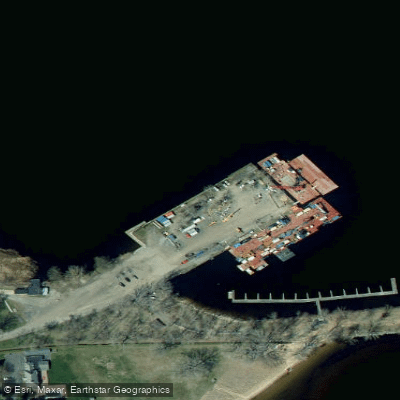
Wilcox Access
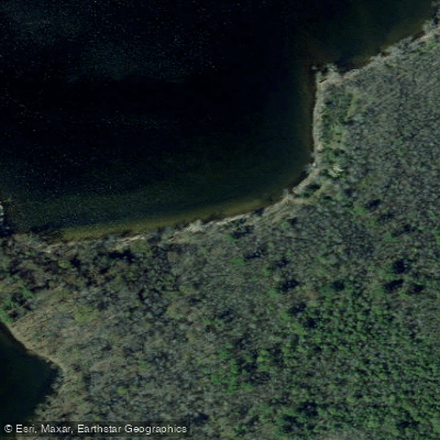
Butterfly Bay Access
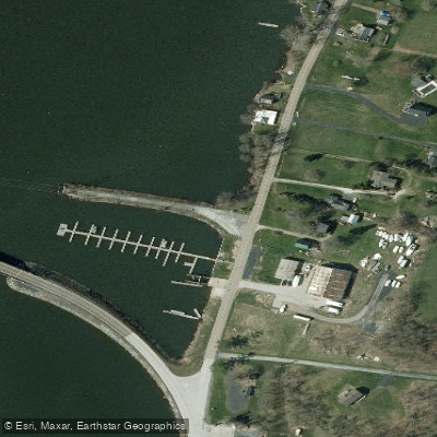
North Hero Causeway Access
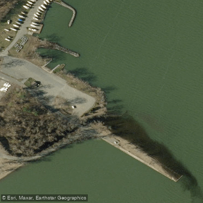
Powerhouse Park Access
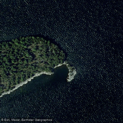
Tiger Point Access
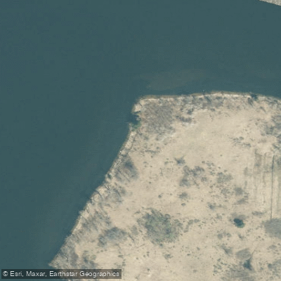
Schuyler Island Primitive Area Trail Access
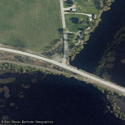
Charcoal Creek Access
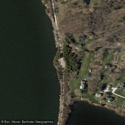
Allen Point Access
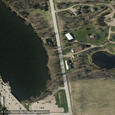
Ed Weed Access
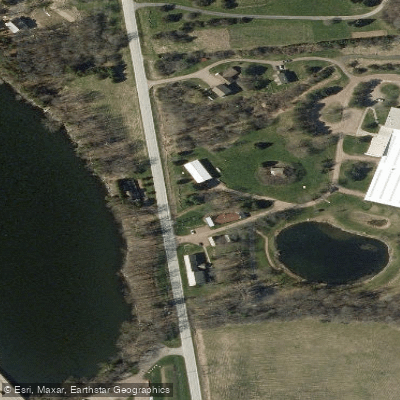
Ed Weed Access
Paddle smarter with real-time insights
Whether you're en route and conditions shift or you're looking for the best spot based on current flows, we enable you to make informed decisions on the fly.








Find Places to Paddle

Over 400,000 Places to Paddle
Every user gets free access to launch points, boat ramps, and public property parcels.


Water and weather conditions (10 day forecast)
See the best times to paddle Lake Champlain and check the forecast before you go.
LAKE CHAMPLAIN AT BURLINGTON, VT
All Flow Stations
Paddling near Lake Champlain
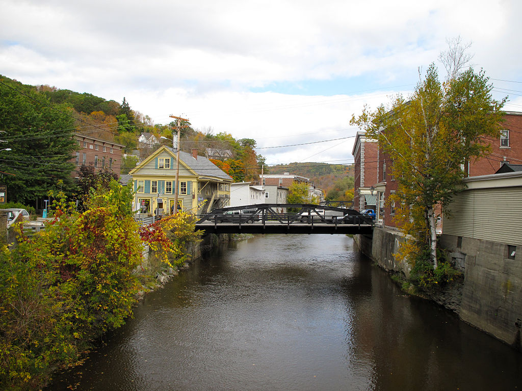
Winooski River
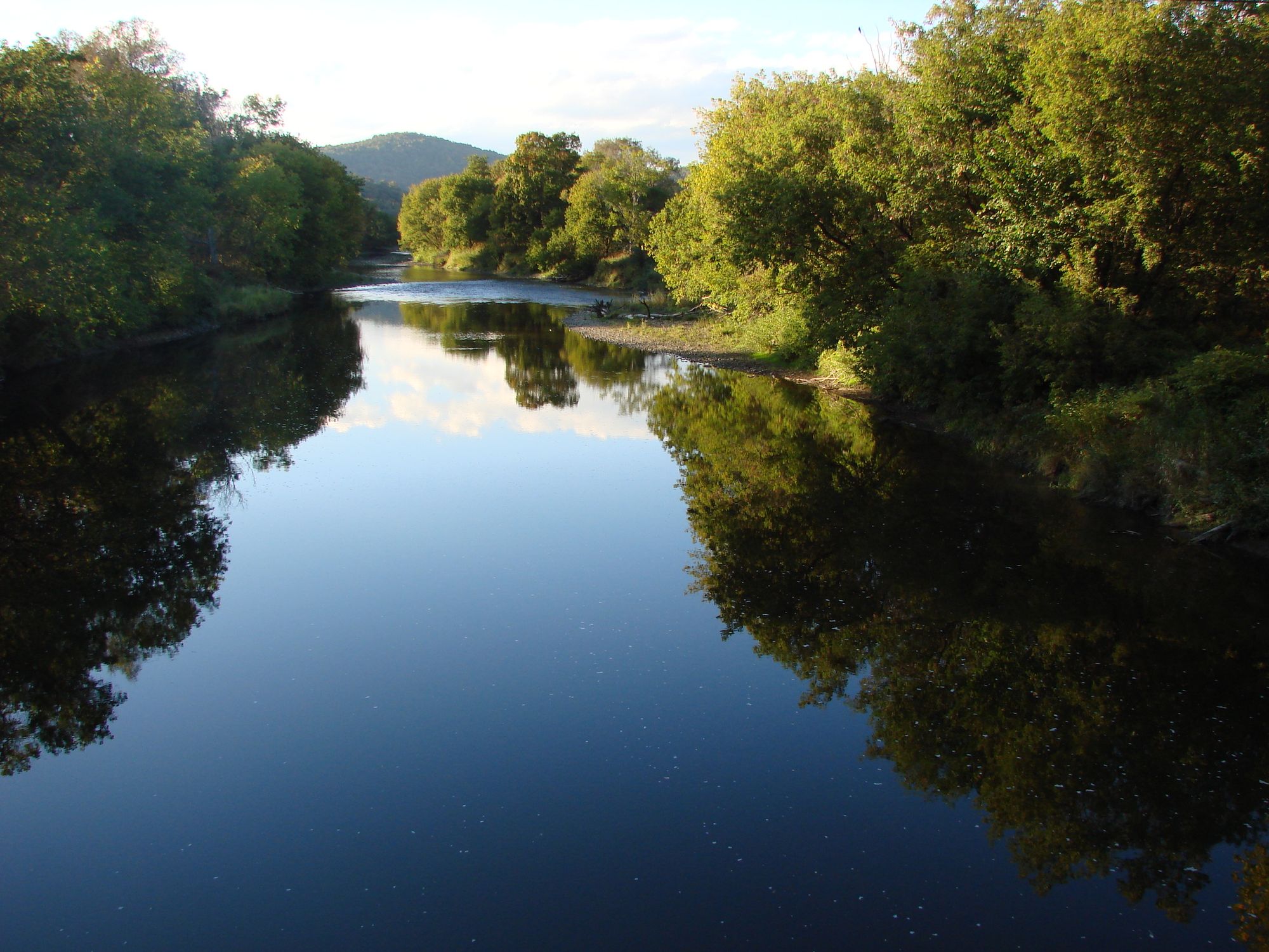
Lamoille River
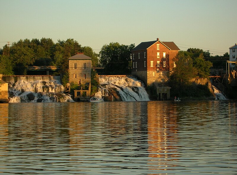
Otter Creek
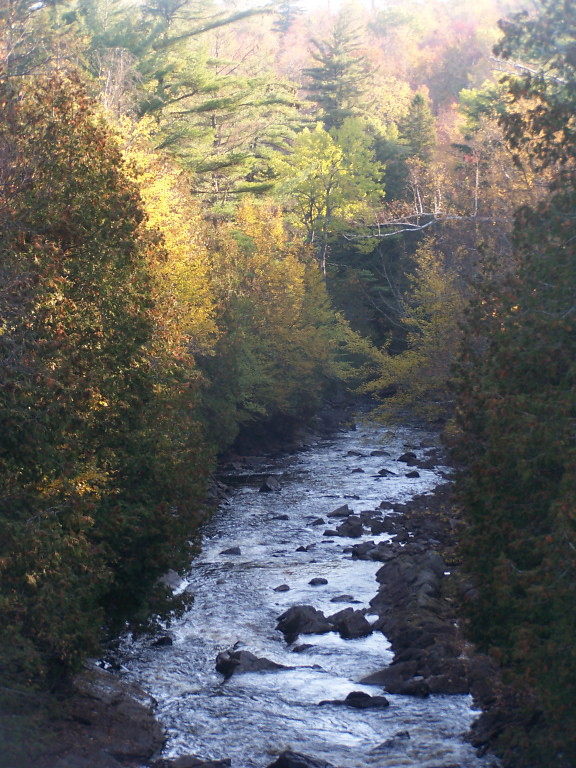
Saranac River
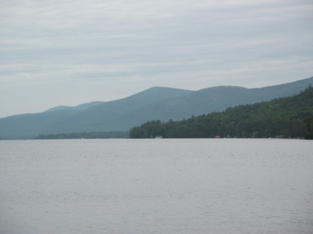
Lake George
New Haven River
Schroon River

Hudson River
La Chute
Explore Vermont waters
Top paddling waters
Popular Cities
Loading popular cities...
Explore near Lake Champlain
Access points
- Burlington Community Boat Ramp
- Fort Ti Boat Ramp
- Dickson Road Boat Ramp
- Bulwagga Bay Campground Boat Ramp
- Shelburne Bay Fish and Wildlife Access
- Peru Boat Ramp
- Shelburne Beach Boat Ramp
- Port Douglas Boat Ramp
- Lake Champlain Boat Ramp
- Point au Roche State Park Boat Ramp
- Converse Bay Boat Ramp
- Westport Boat Ramp
- All 238 spots
Nearby waters
More in Vermont

Smarter Paddling Starts in the App.
Paddleways gives you everything you need to plan smarter, paddle better, and own every trip from first launch to takeout.