Paddling near Norfolk, VA
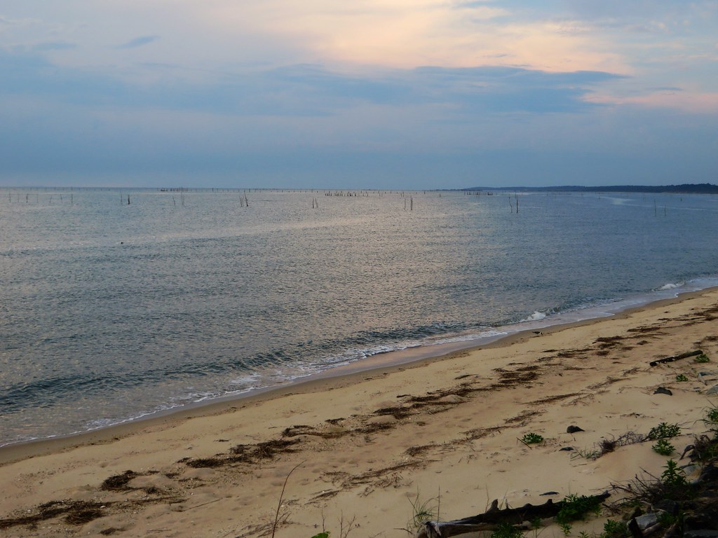
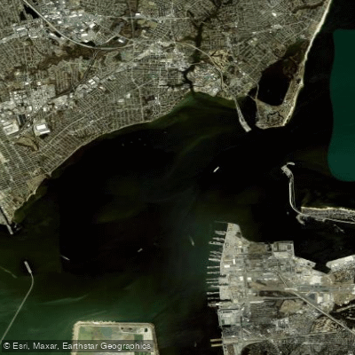
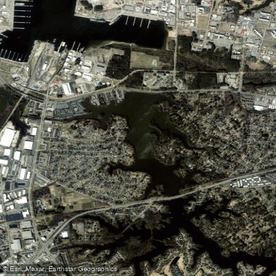
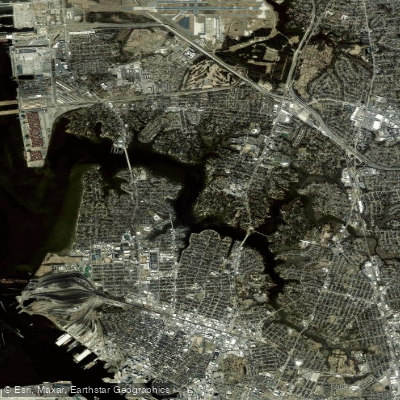
At the hub of Hampton Roads, Norfolk sits within a region that is as much water as land, threaded by more than 121 miles of navigable waterways and fronted by 35 miles of ocean and bay beaches. The tidal Elizabeth River runs through the city's core — paddled from downtown past naval yards and working marinas via the ADA-accessible launch at Plum Point Park — while the Chesapeake Bay defines the coast just north and east. Quieter options include the Lafayette River and, roughly 45 miles southwest, the blackwater Great Dismal Swamp.


Paddle smarter with real-time insights
Whether you're en route and conditions shift or you're looking for the best spot based on current flows, we enable you to make informed decisions on the fly.







Virginia licenses and regulations
Explore Norfolk
Top paddling waters
Loading top waters...
Popular Cities
Loading popular cities...

Smarter Paddling Starts in the App.
Paddleways gives you everything you need to plan smarter, paddle better, and own every trip from first launch to takeout.