Horseshoe
- Saltwater
- Bay
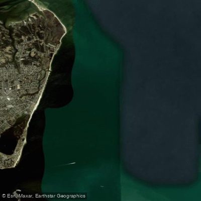
Horseshoe
- Saltwater
- Bay
- Sq. miles
- 20
- Boat Ramps
- 0
- Access Points
- 0
- Campsites
- 0
Paddling Horseshoe Bend involves a 15-mile section of the Colorado River within Glen Canyon, between the Glen Canyon Dam and Lee's Ferry. This is a freshwater river trip, not a coastal or tidal environment. The primary and mandatory access point for all paddlers is the launch ramp at Lee's Ferry, which is also the take-out location. A direct launch at the Glen Canyon Dam is prohibited due to security restrictions. Consequently, all trips require booking a professional backhaul service, also called a water taxi, which transports paddlers and their gear upstream from Lee's Ferry. These services operate daily, with departure times typically starting between 6:00 AM and 1:00 PM depending on the season and outfitter. The river here is characterized by calm water with a few gentle rapids, suitable for kayaks, canoes, and stand-up paddleboards, though the latter is not recommended for beginners due to the long distance and cold water. The water is very cold year-round due to its release from the deep, cold layers of Lake Powell behind the dam. The trip offers a unique, river-level perspective of the iconic 270-degree bend in the canyon, with towering sandstone cliffs rising hundreds of feet. Notable sights along the route include ancient petroglyphs at Petroglyph Beach, which is a popular drop-off point for shorter trips, and views of the Vermilion Cliffs. The area is within the Glen Canyon National Recreation Area. Multiple backhaul outfitters operate from Lee's Ferry, including Kayak Horseshoe Bend and Kayak the Colorado, which also offer equipment rentals. Advanced reservations are required as these services book quickly, especially in peak seasons. Facilities at Lee's Ferry include a National Park Service campground. Paddlers should be prepared for a full-day adventure, with the paddle from Petroglyph Beach back to Lee's Ferry typically taking 4 to 5 hours.
Water access, boat ramps & amenities
Learn how to get on Horseshoe. Uncover great paddling access points, boat ramps, and all the facilities you need for an unforgettable day on the water. Some locations shown may border or include private property. Always check property boundaries and applicable regulations before visiting. PaddleWays's Public & Private Land layer can help you plan your access with confidence.
Paddle smarter with real-time insights
Whether you're en route and conditions shift or you're looking for the best spot based on current flows, we enable you to make informed decisions on the fly.








Find Places to Paddle

Over 400,000 Places to Paddle
Every user gets free access to launch points, boat ramps, and public property parcels.


Tides, wind & water conditions (10 day forecast)
On open water, wind and tide matter as much as the weather. See the best times to paddle Horseshoe and check the marine forecast before you launch.
Loading tide predictions…
Paddling near Horseshoe

James River

Rappahannock River
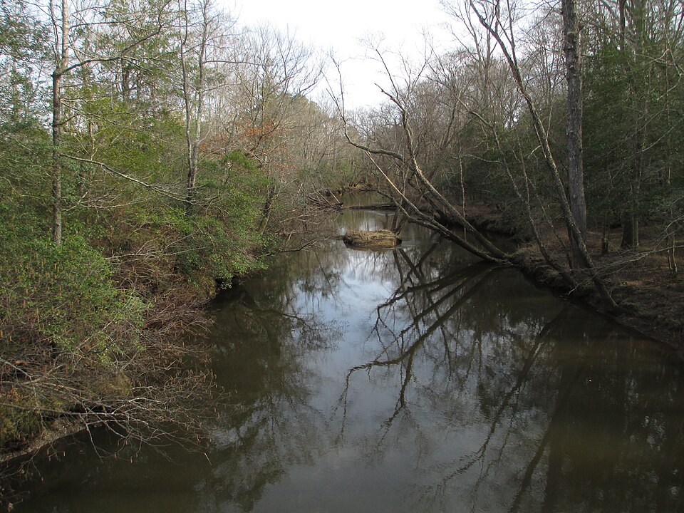
Mattaponi River
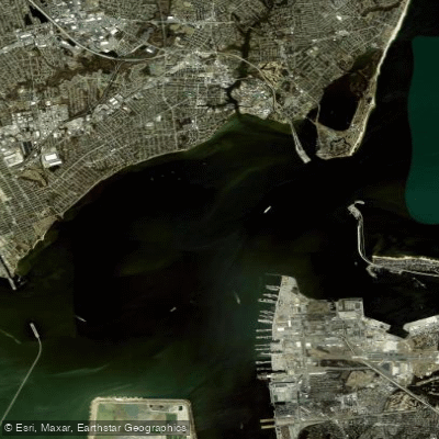
Hampton Roads
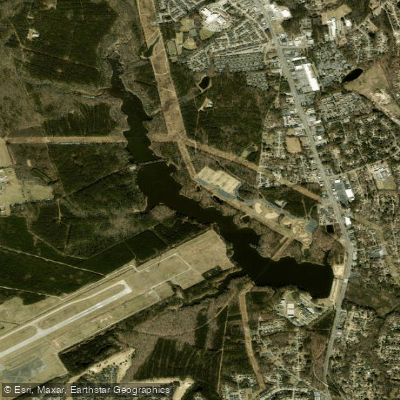
Harwoods Mill Reservoir
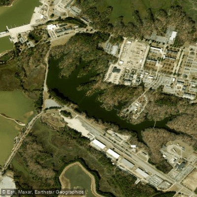
Eustis Lake
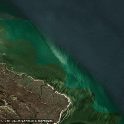
Drum Island Flats
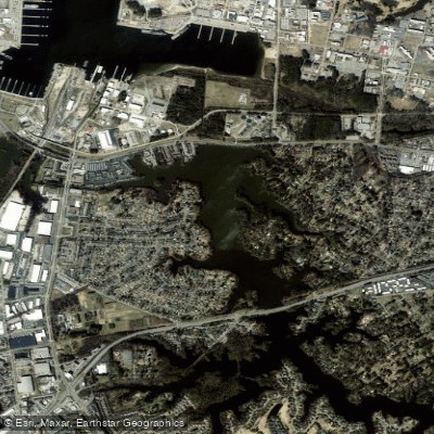
Little Creek Reservoir
Explore Virginia waters
Top paddling waters
Popular Cities
Loading popular cities...
Explore near Horseshoe

Smarter Paddling Starts in the App.
Paddleways gives you everything you need to plan smarter, paddle better, and own every trip from first launch to takeout.